Photo report “New Zealand”.
February 2006.
Amount of days: 28
The travel route passed through New Zealand. Expedition composition – 3 people.
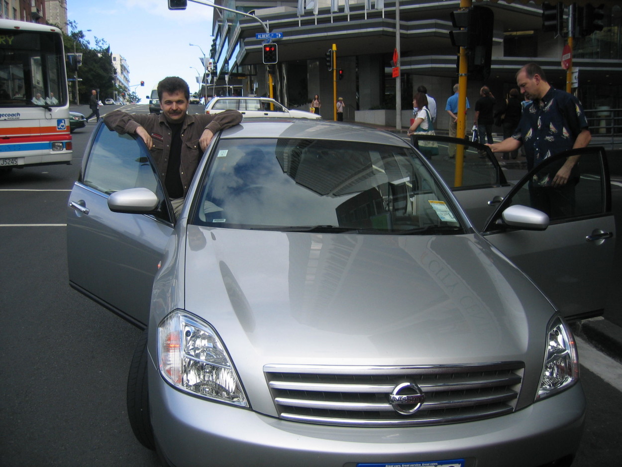
After spending two days on the road, we are tired, and finally arrived in the city of Auckland – the cultural capital of New Zealand.
After a little rest, we go north to the bay of BAY OF ISLANDS. The first European to set foot on the land of the islands of New Zealand was James Cook. He gave the Bay of Islands its current name..
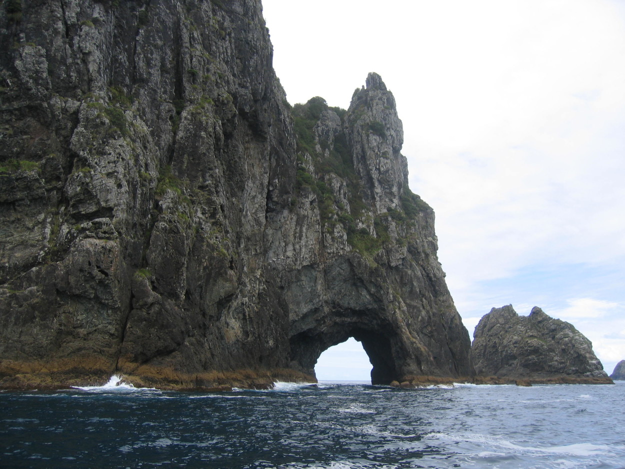
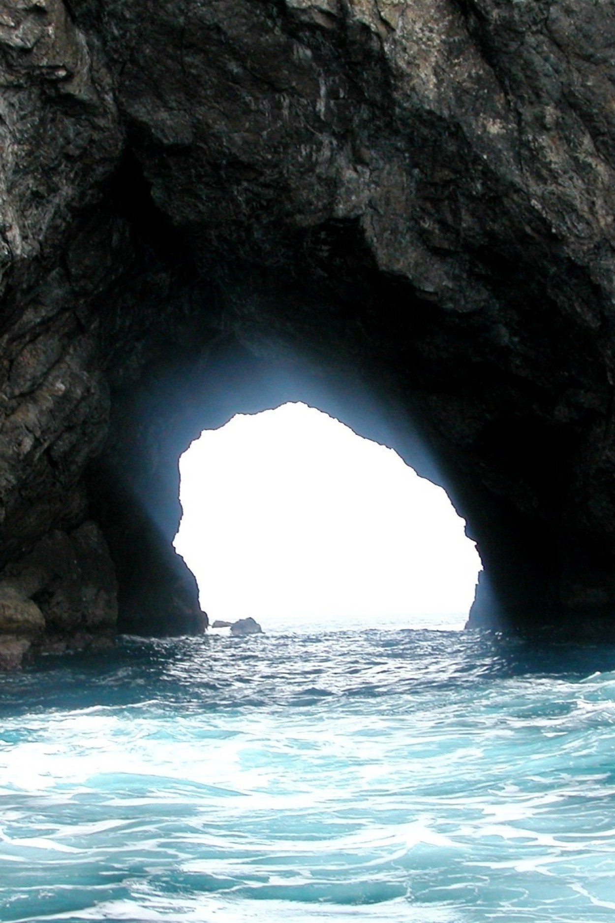
The bay, which is about 16 km wide, abounds in a large number of bays and islands. To enjoy their beauty, we buy a tour on a high-speed boat “EXITOR” and go to the most famous island of the bay, the HOLE IN THE ROCK.
The fabulous pictures of the islands floating in front of us are simply mesmerizing with their beauty. We didn’t even notice how these few hours flew by and here we have the HOLE IN THE ROCK rock.
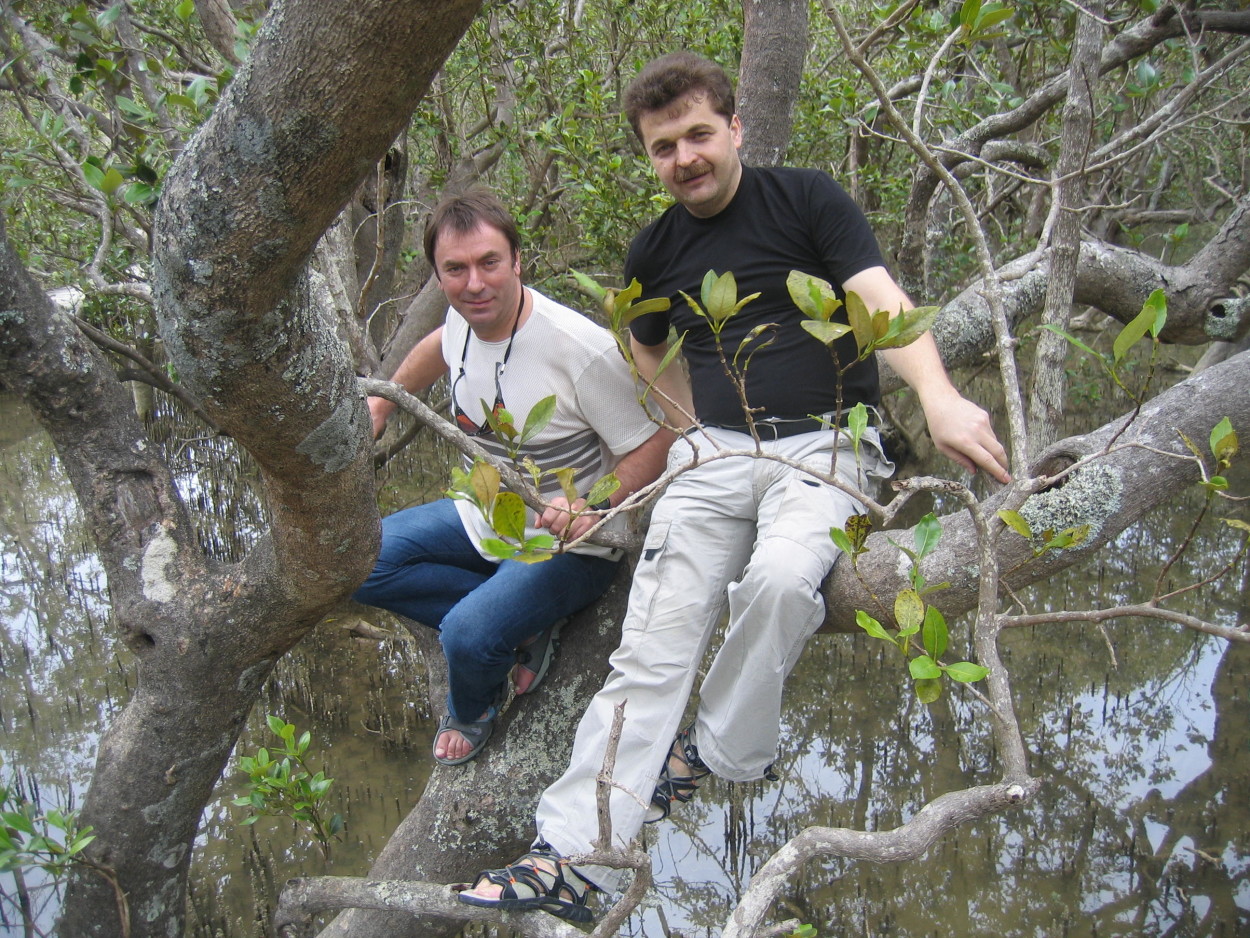
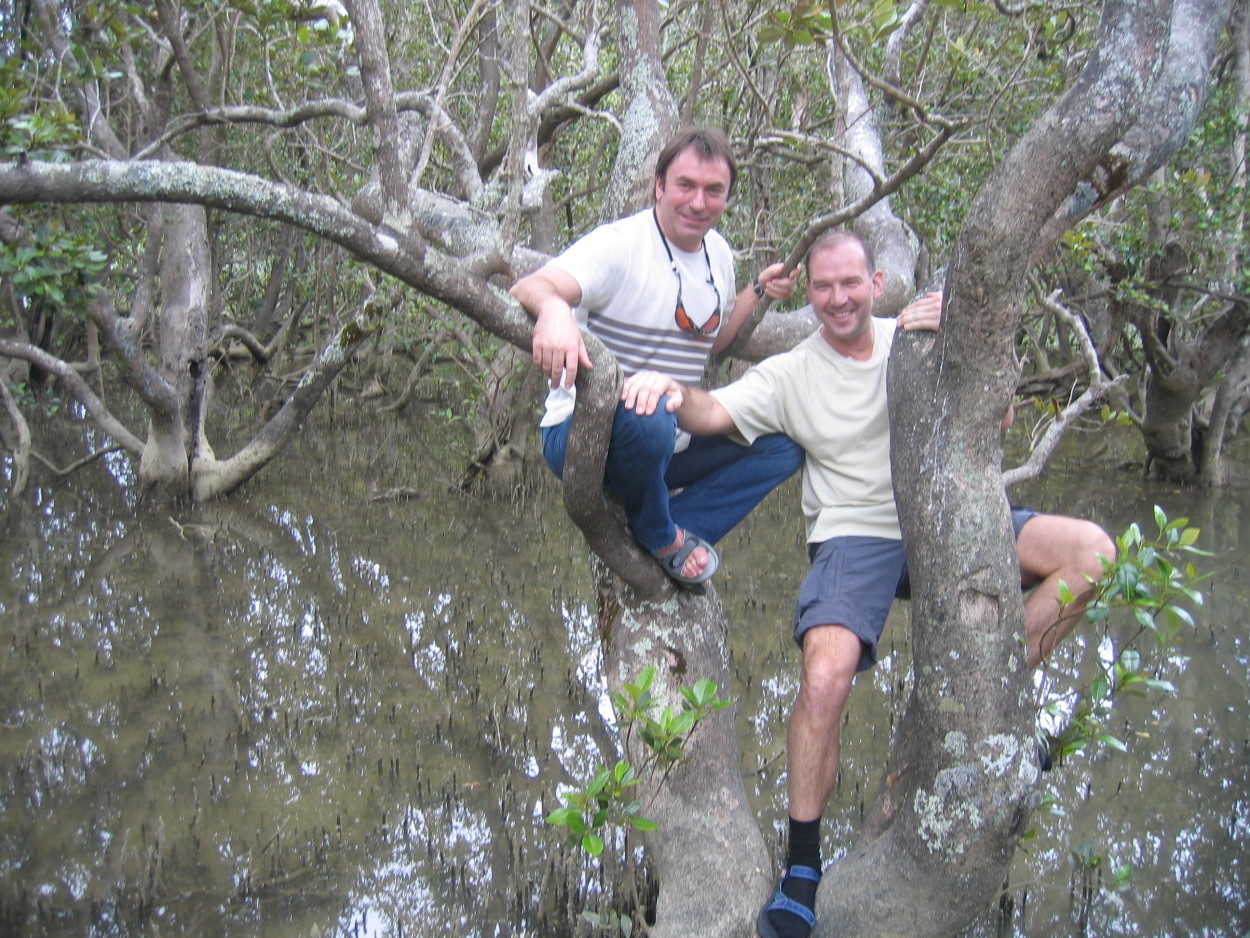
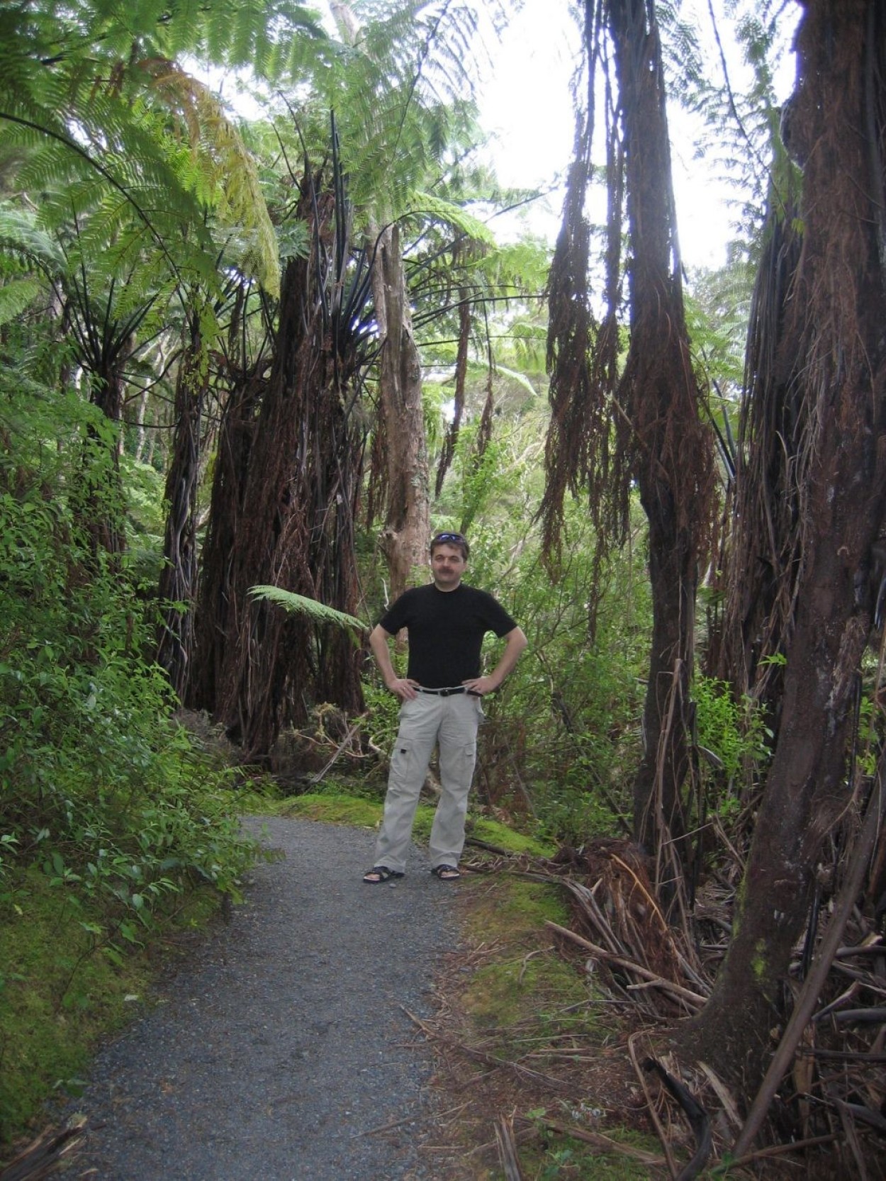
In the morning we make a decision to make a day hike through the mangrove and fern forest to the HARURU waterfall. Cormorants resting in trees show us the way through the mangroves.
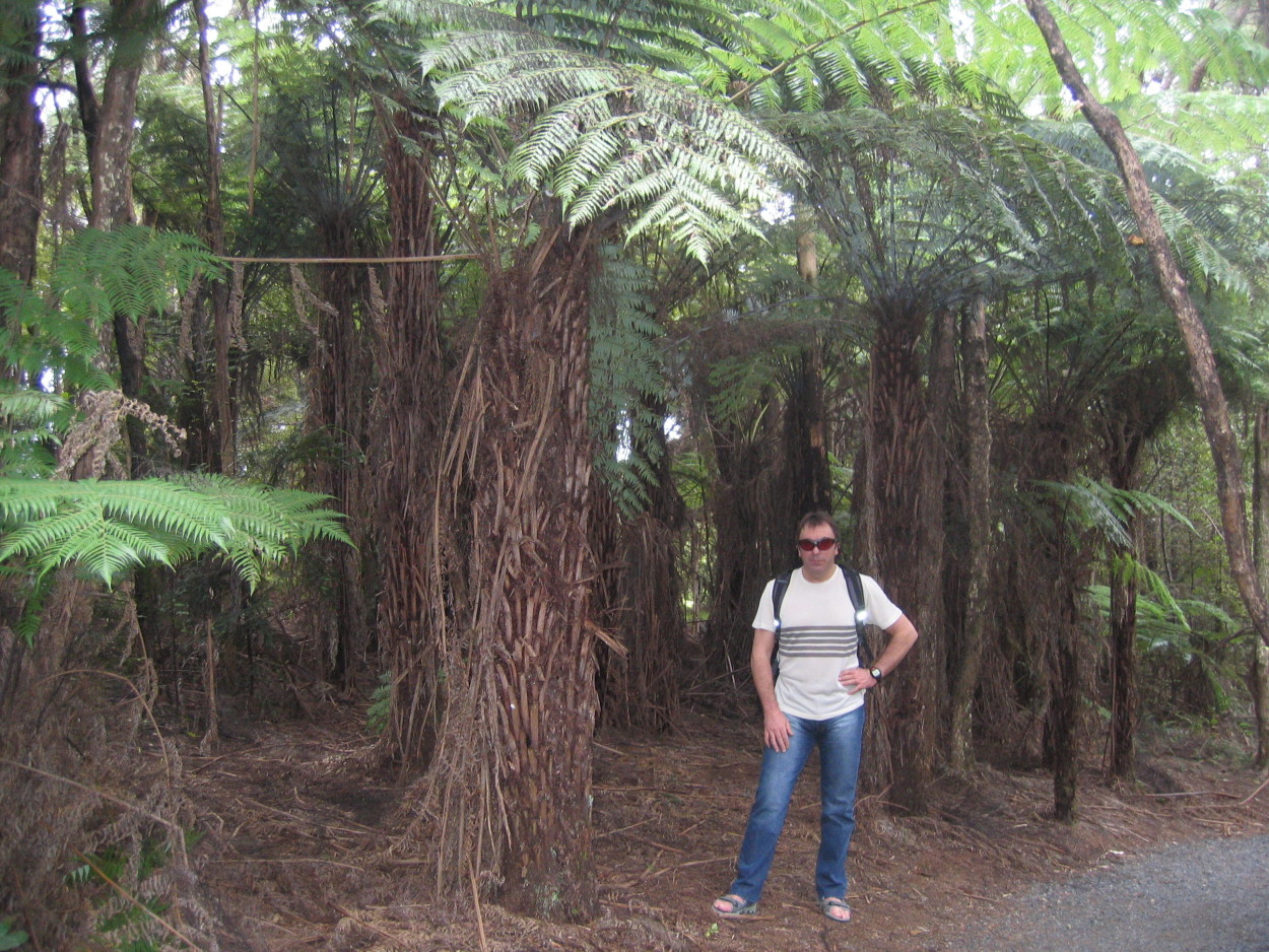
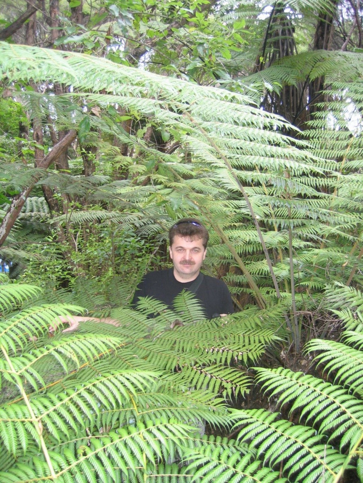
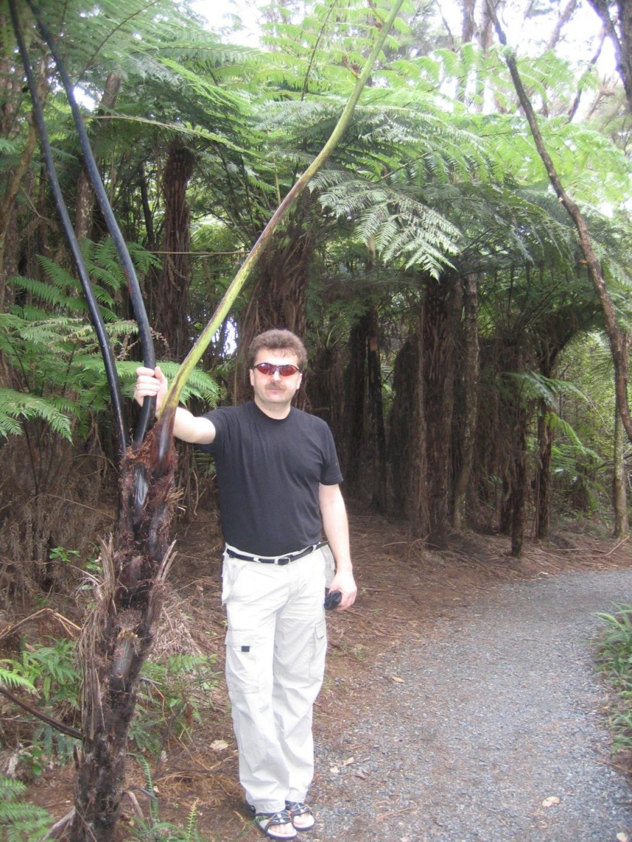
And here we have before us relict tree ferns – real living fossils. Their height reaches 10 meters. It seems that we have gone back millions of years and now the silhouette of a dinosaur will appear from these thickets.…
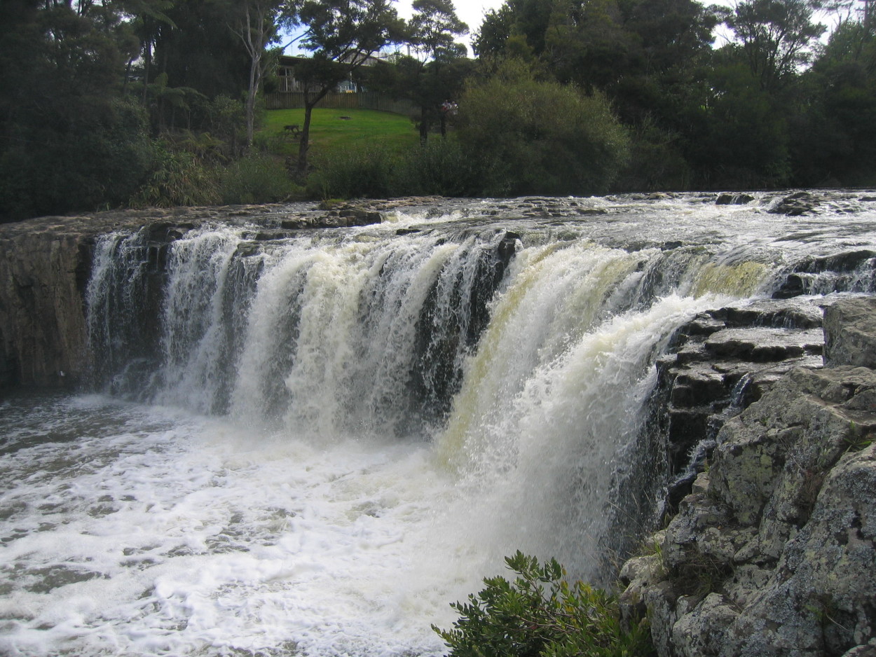
Relaxing at the HARURU waterfall,
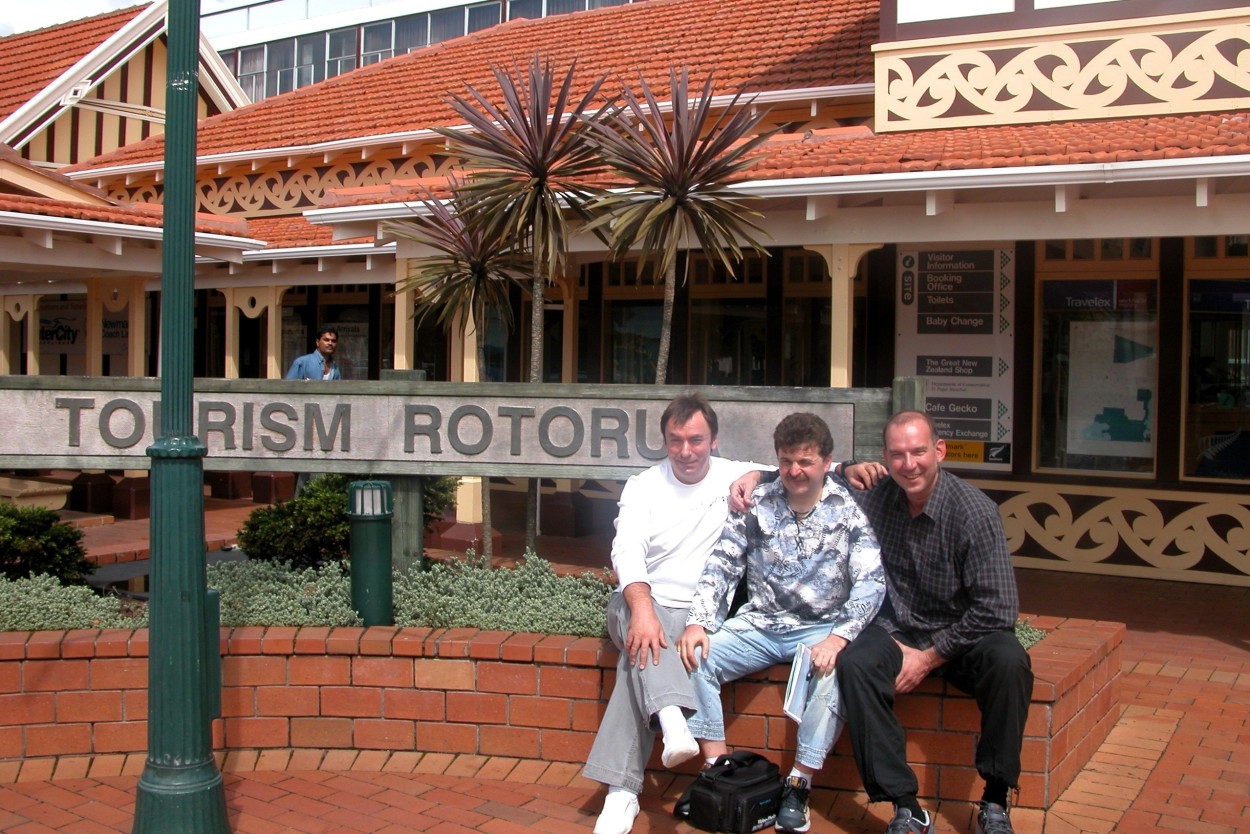
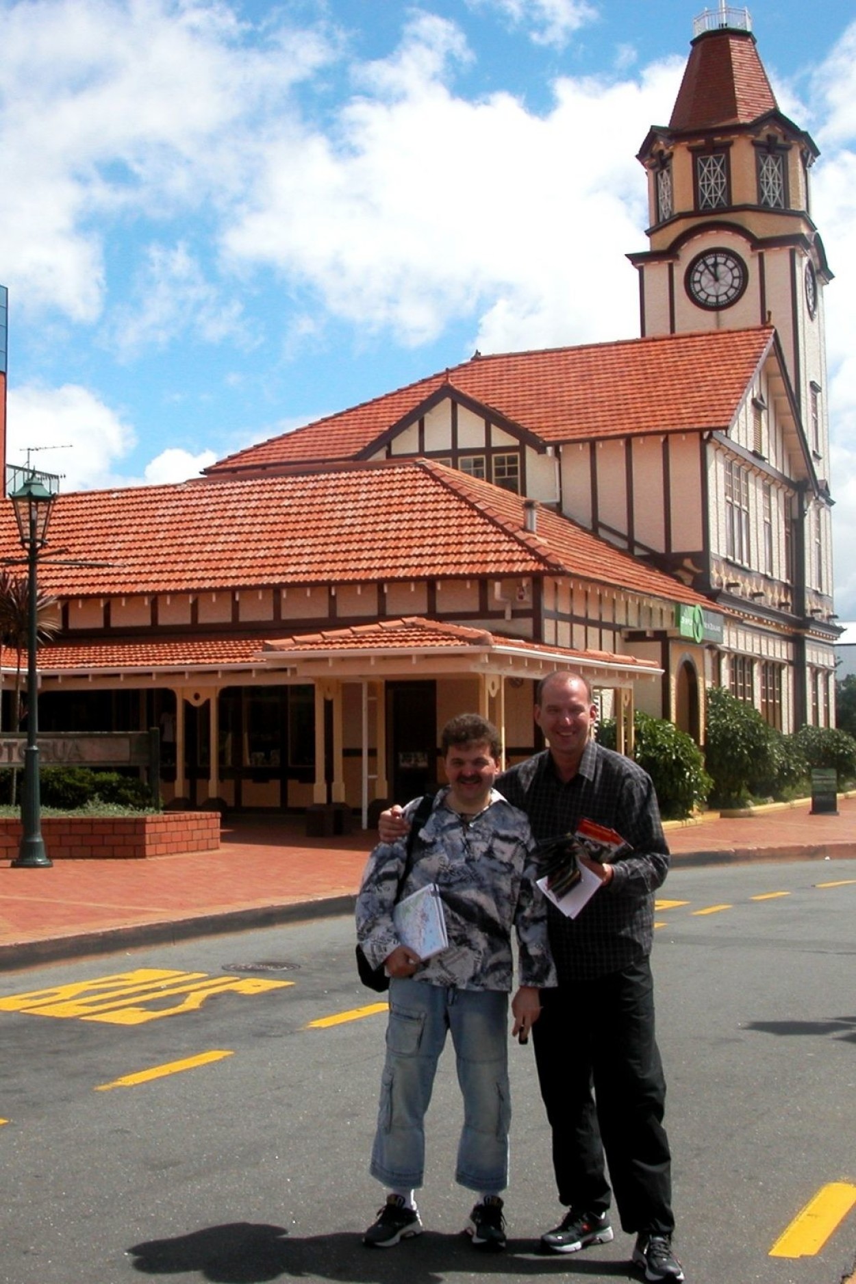
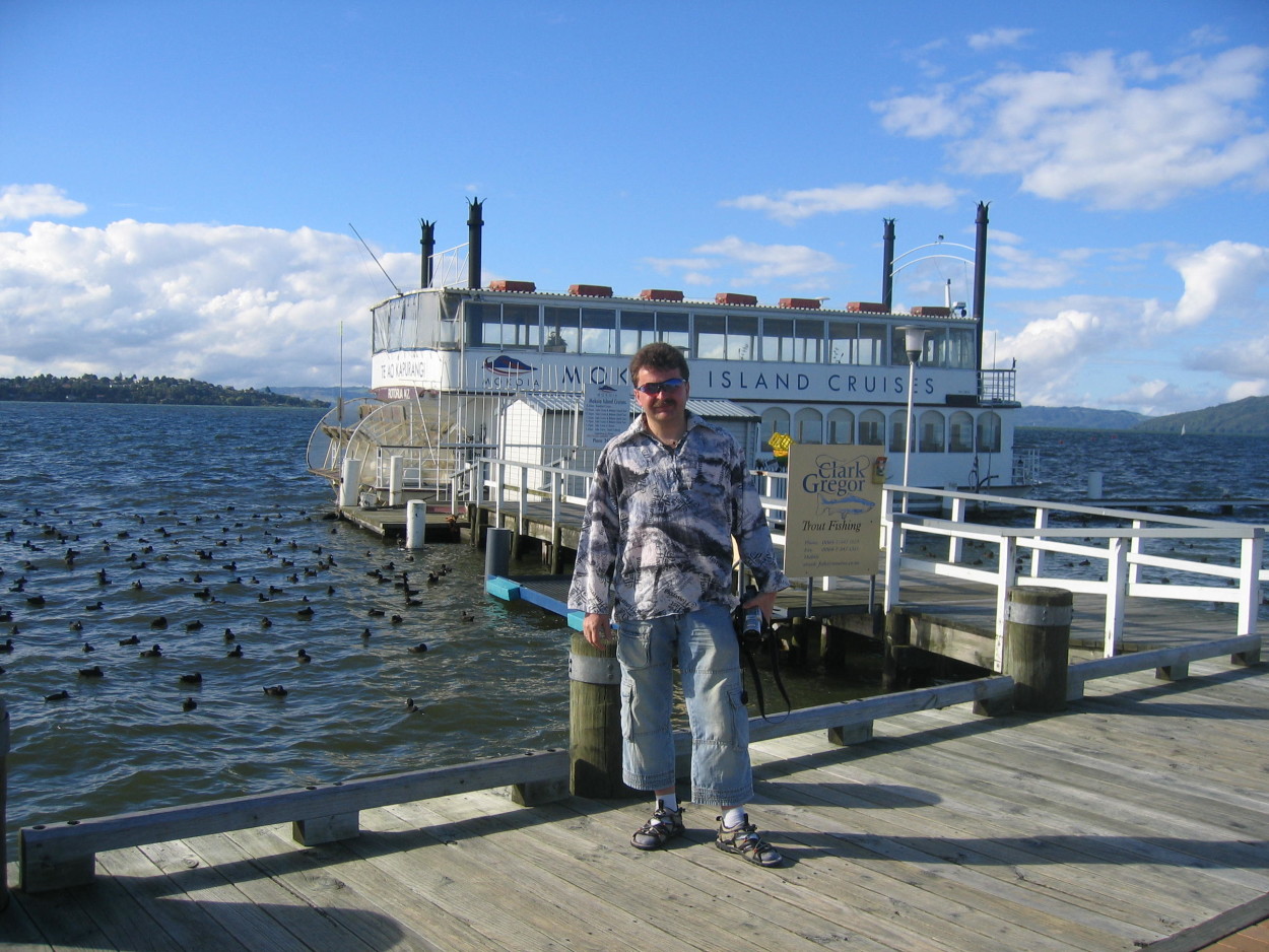
we go further south to the town of ROTORUA – the main tourist center of the NORTH ISLAND.
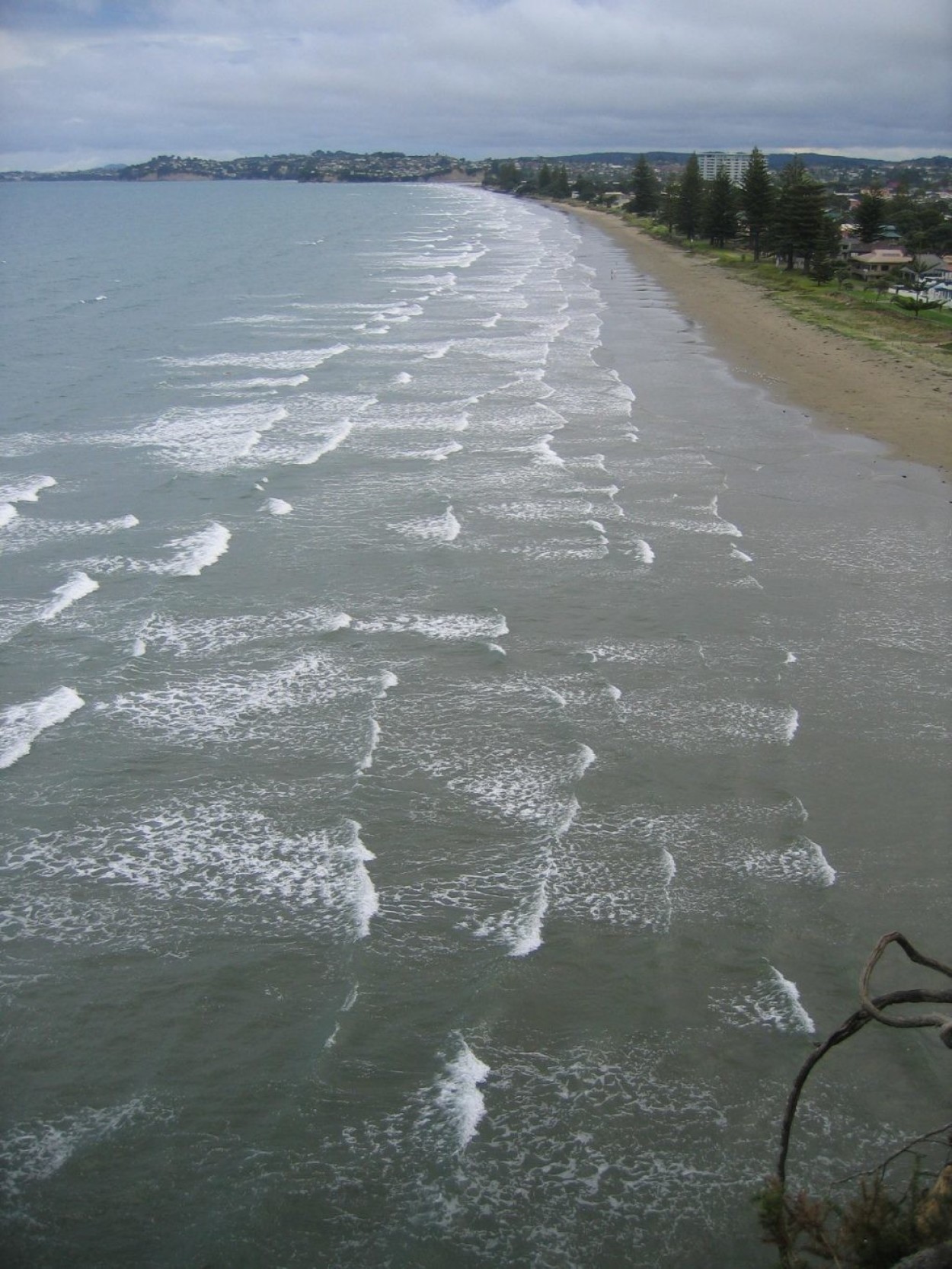
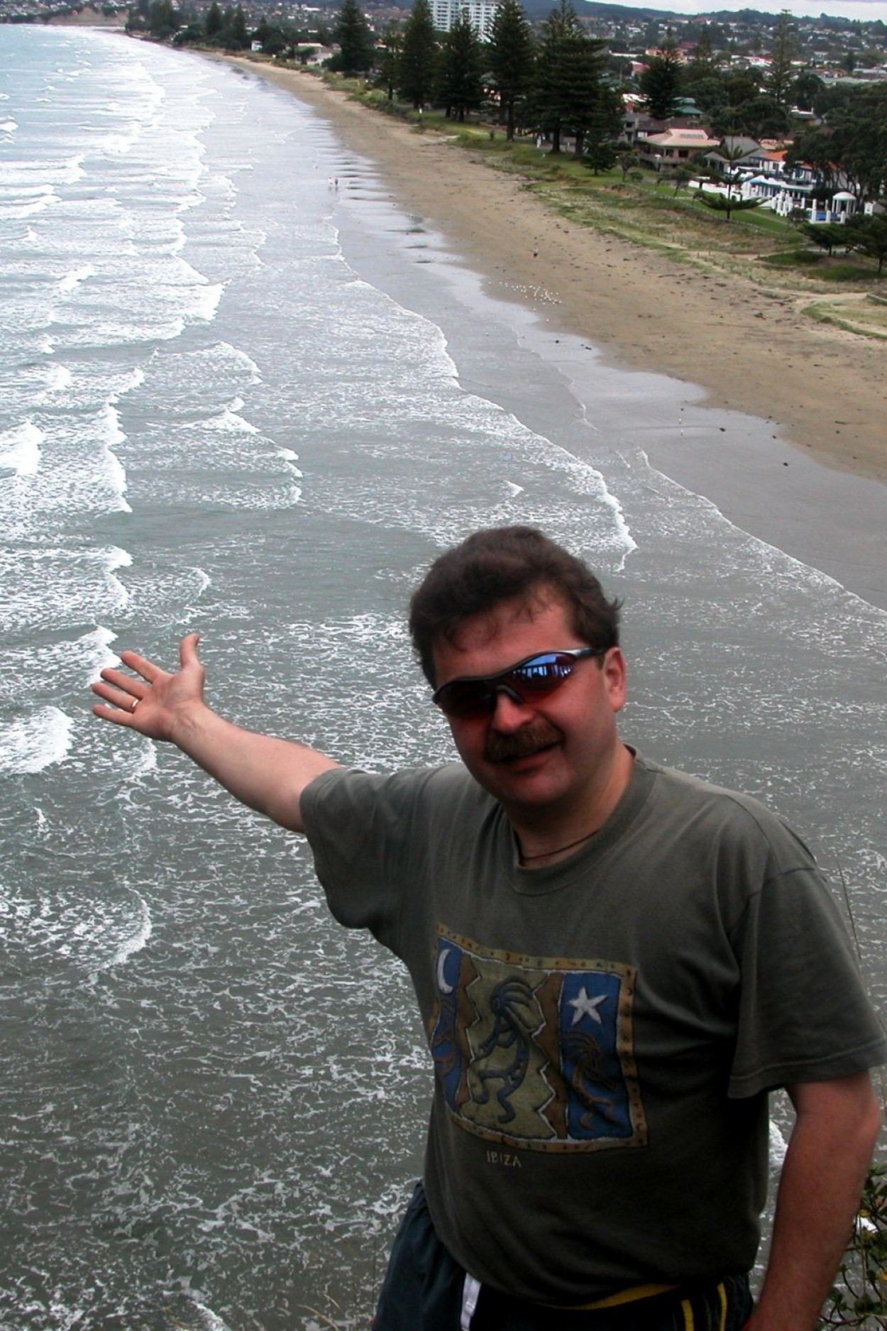
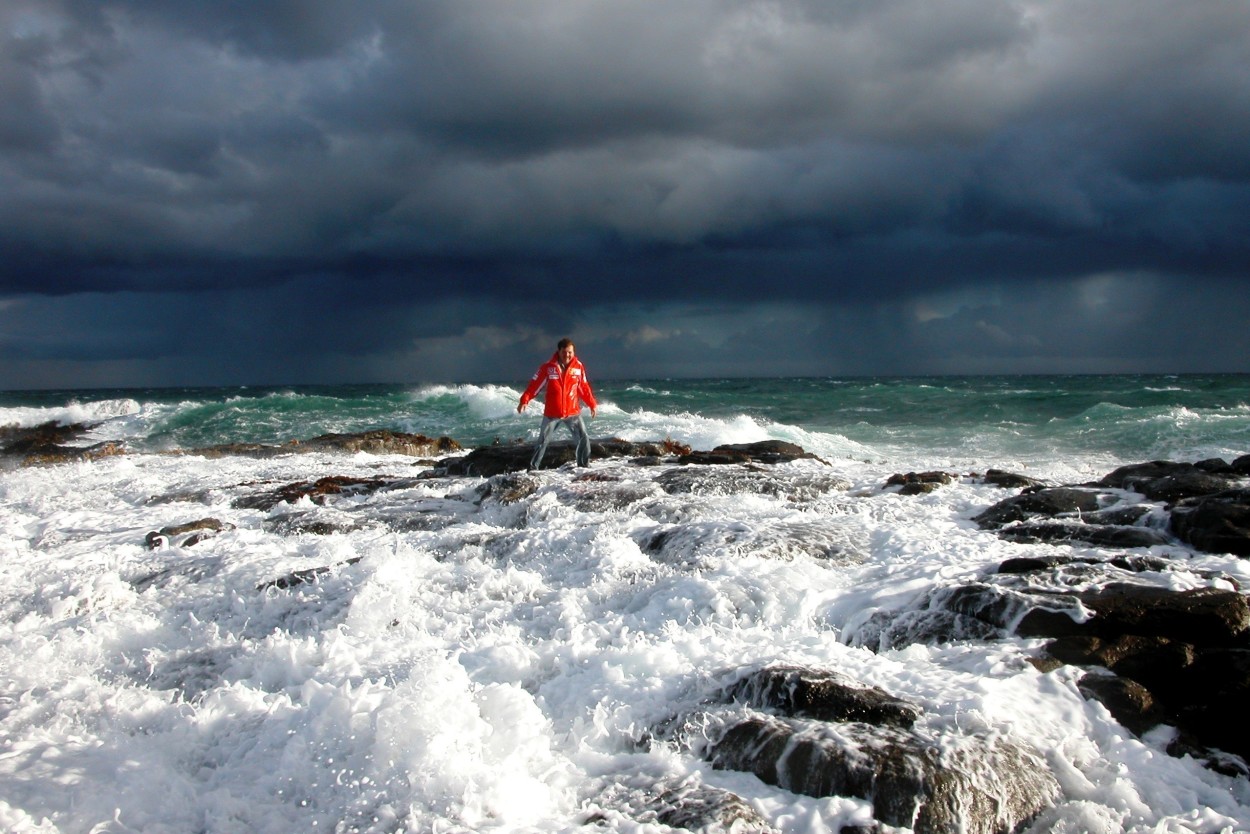
On the way, we make a stop on the shores of the Pacific Ocean in the town of OREVA to film the ocean surf.
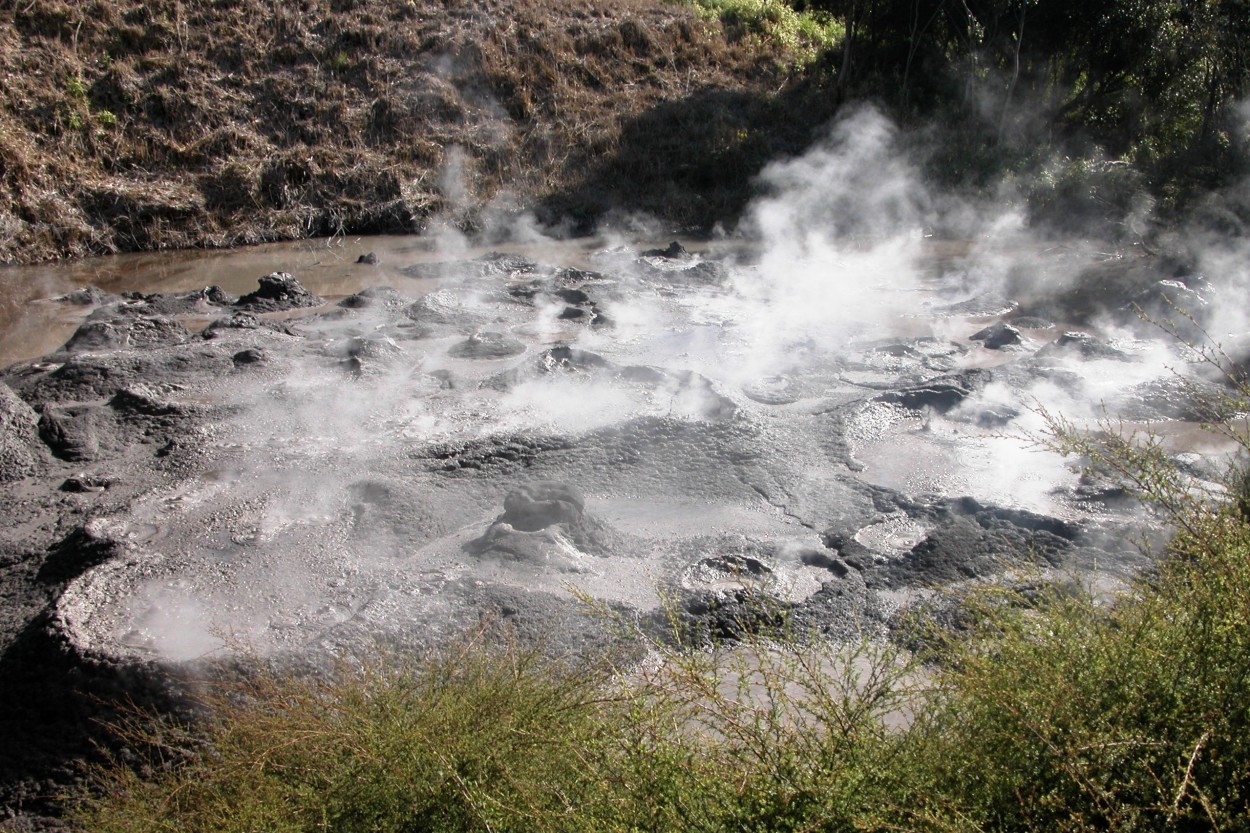
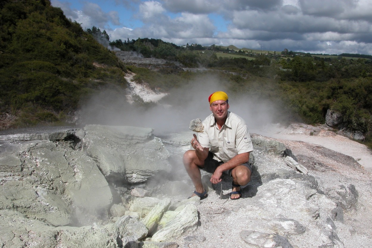
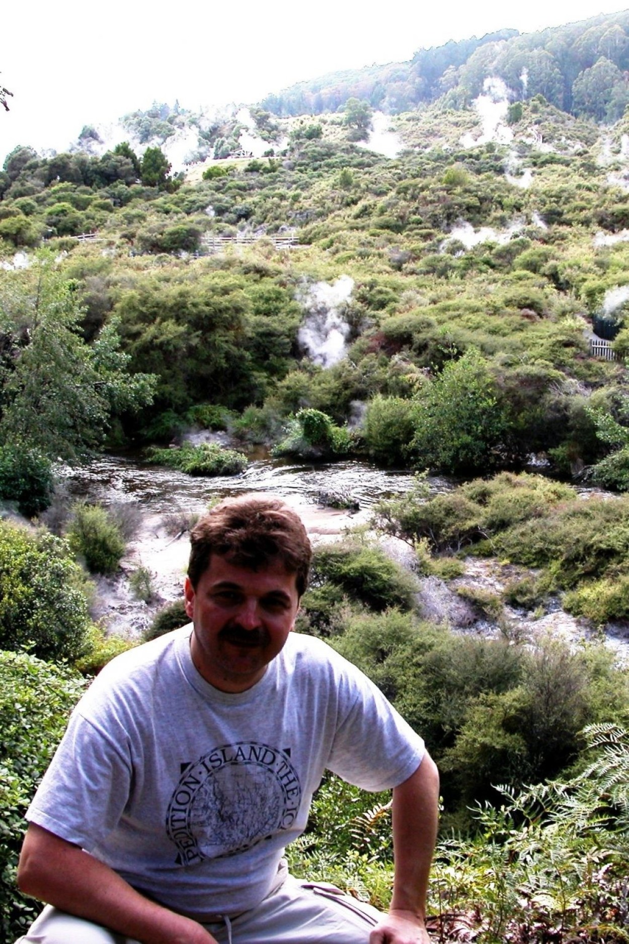
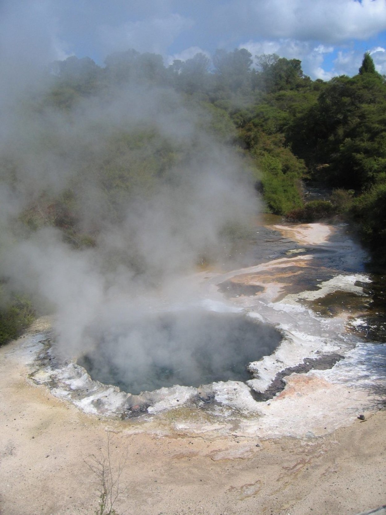
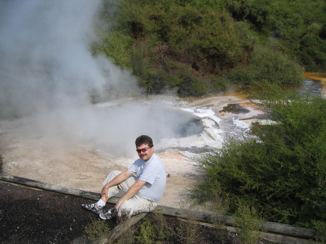
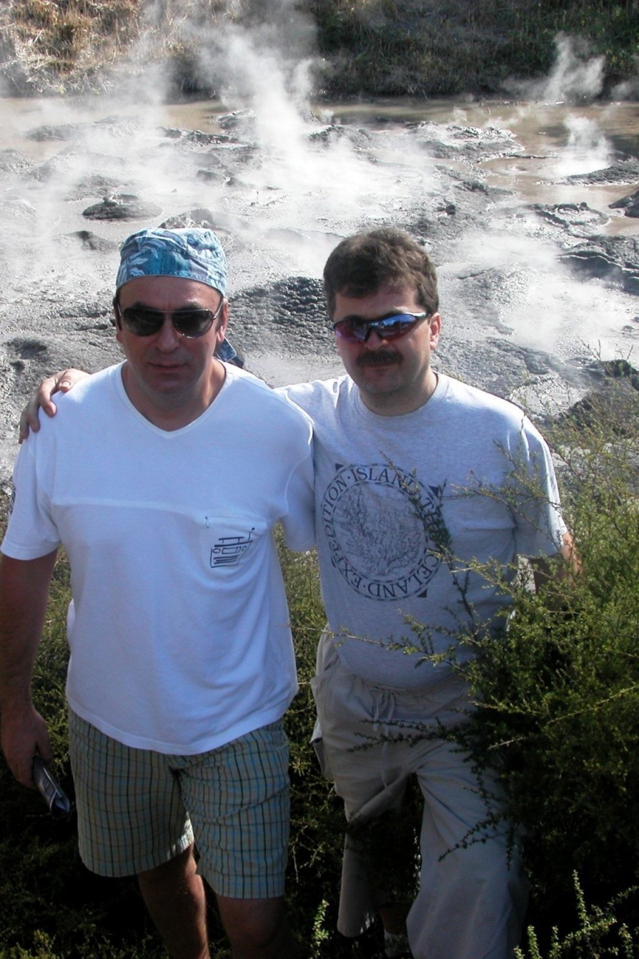
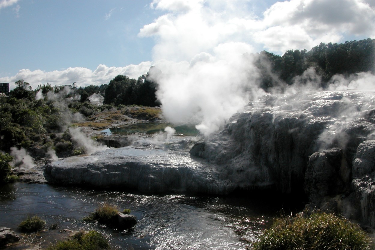
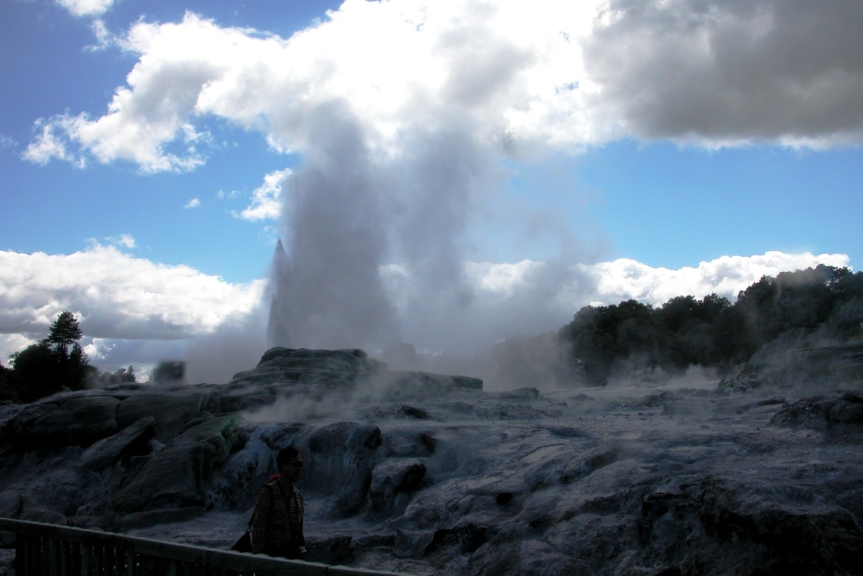
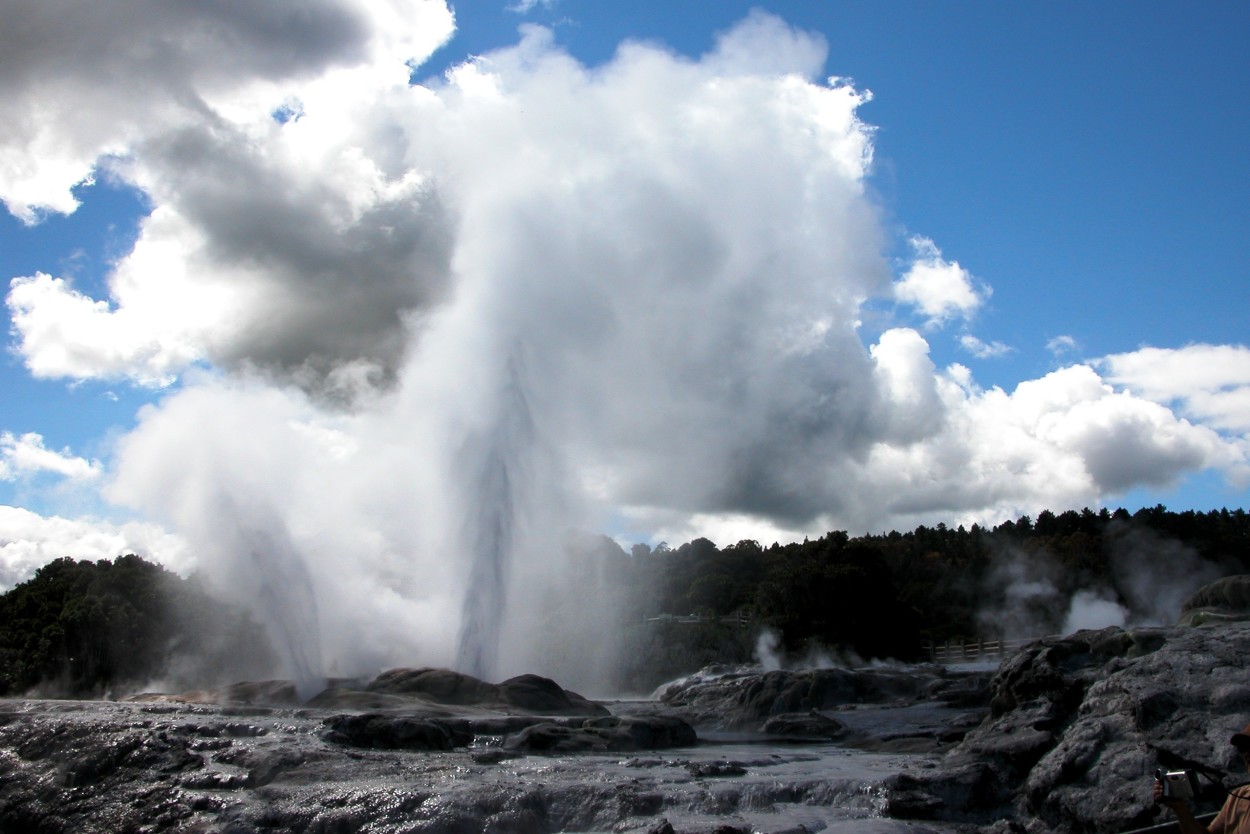
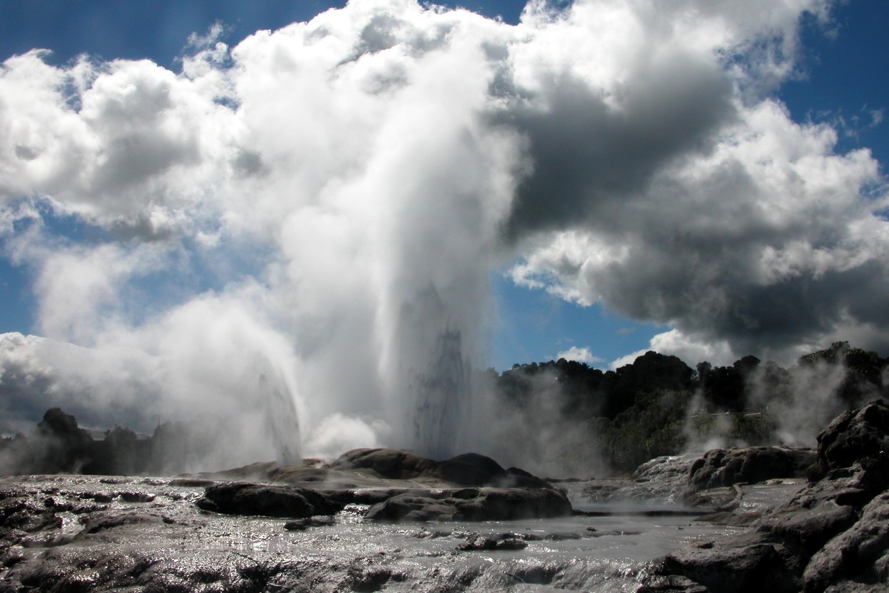
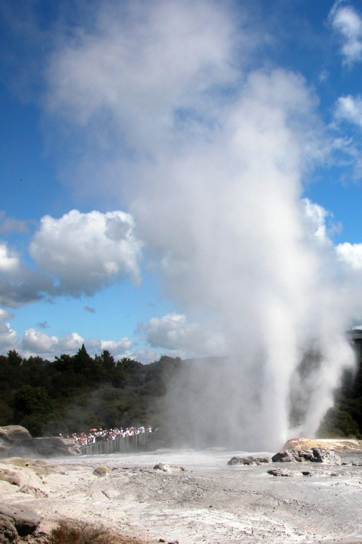
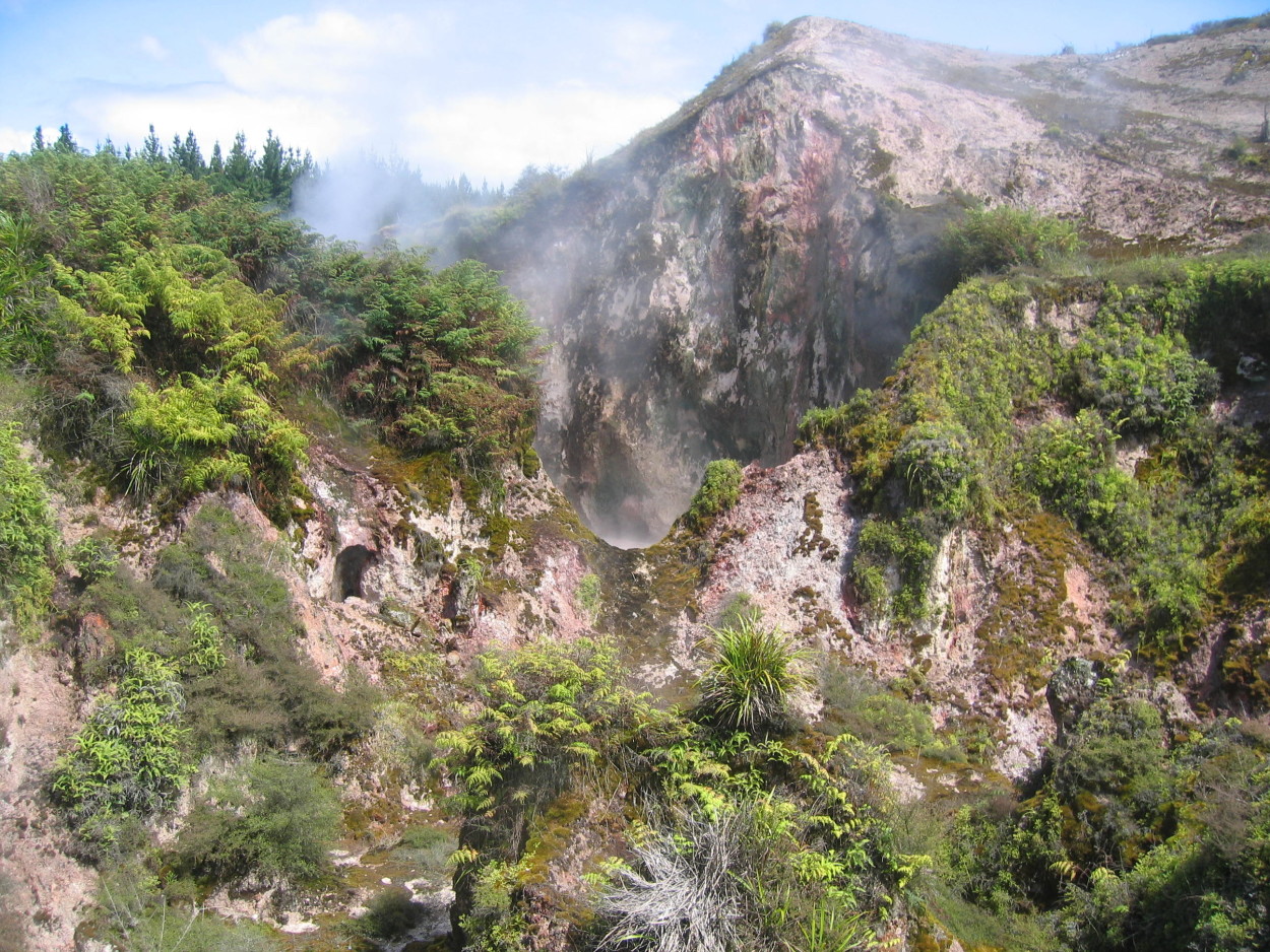
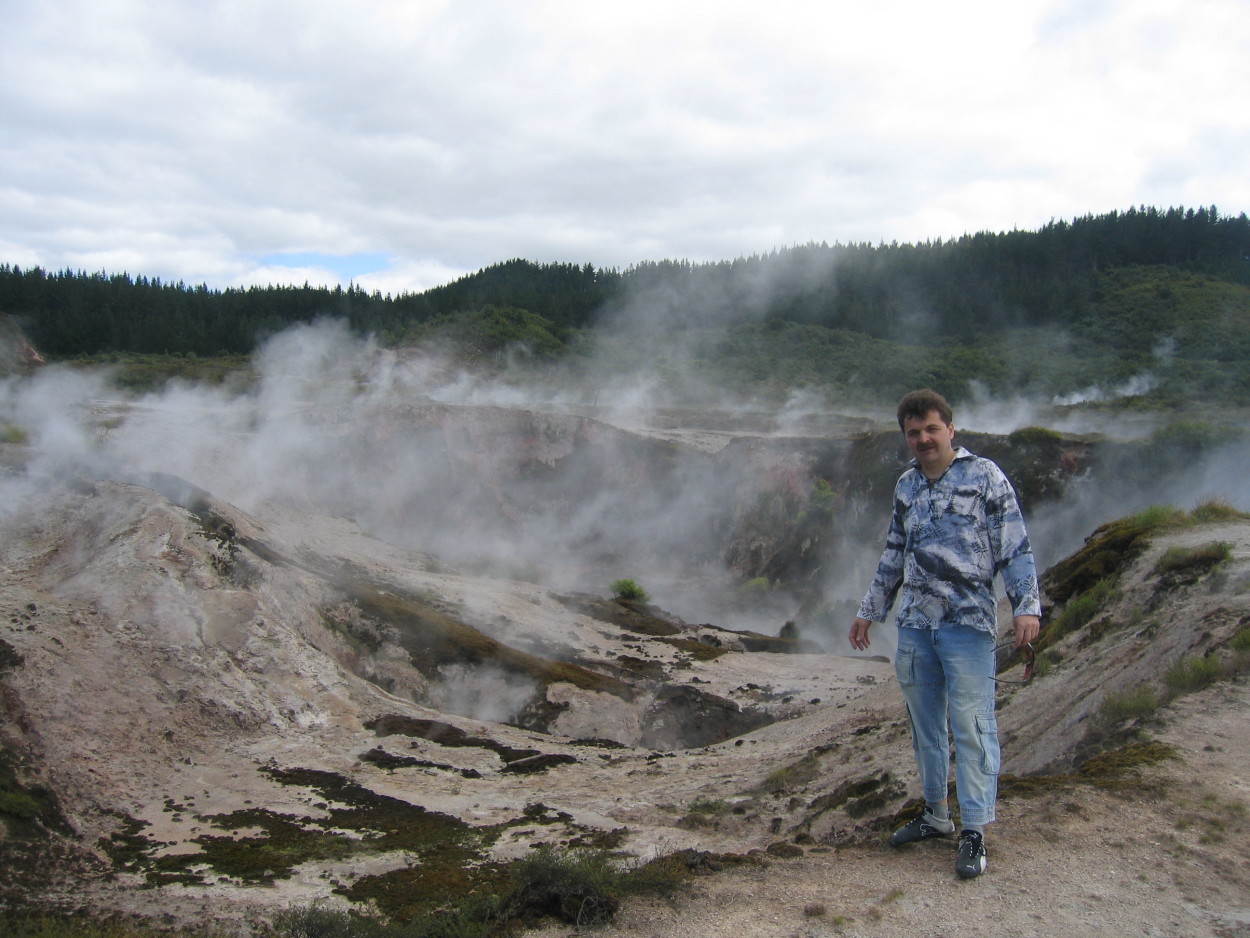
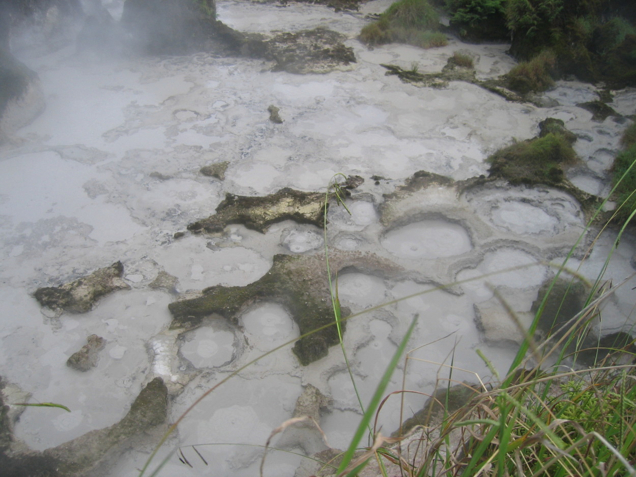
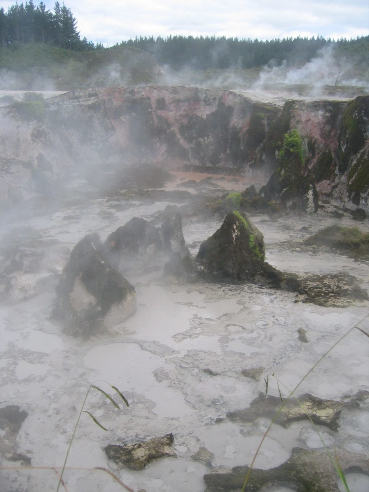
The ROTORUA Valley of Geysers is the main attraction of New Zealand, one might say its visiting card. Here we spent all day watching the breath of the earth…
POHUTU Geyser is the largest in New Zealand, which every 20 minutes. throws a fountain up to 20 meters high.
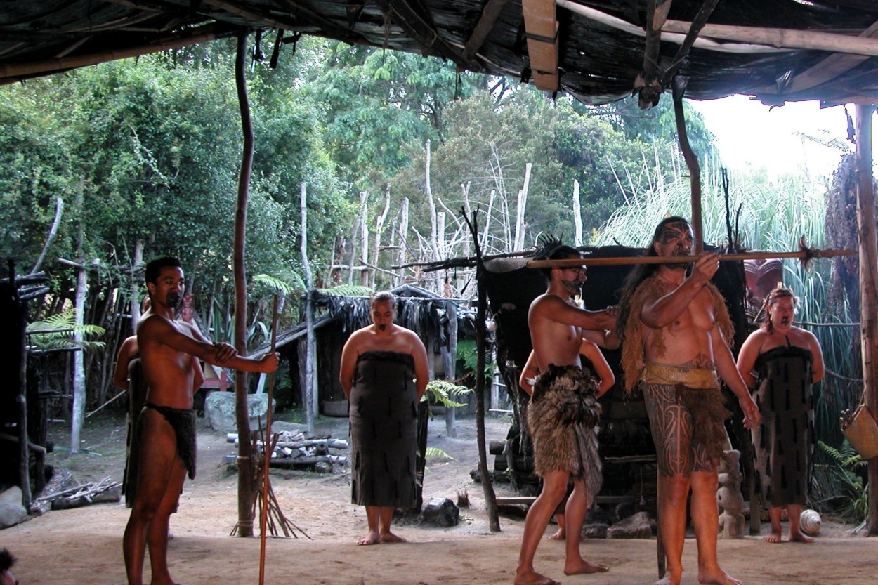
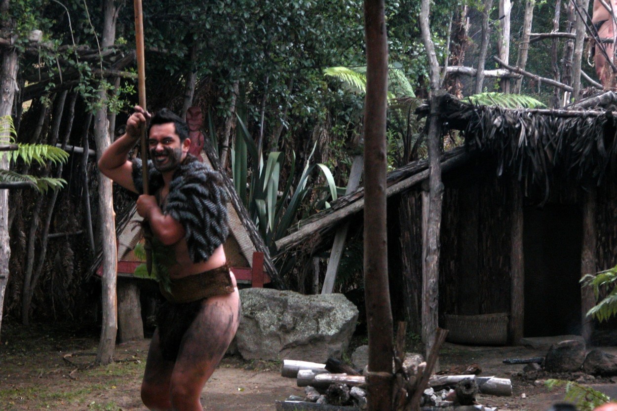
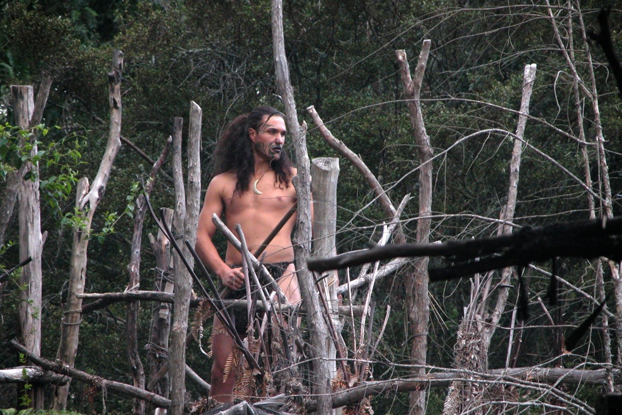
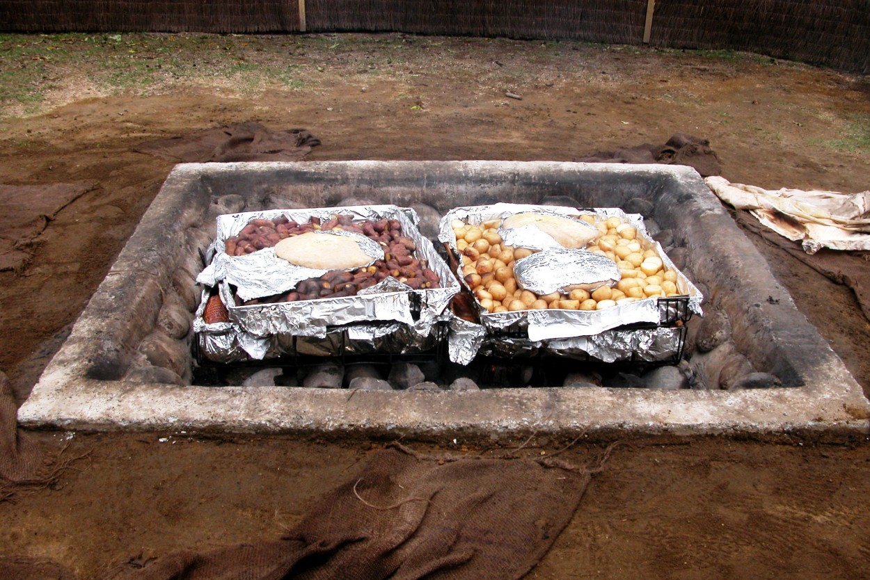
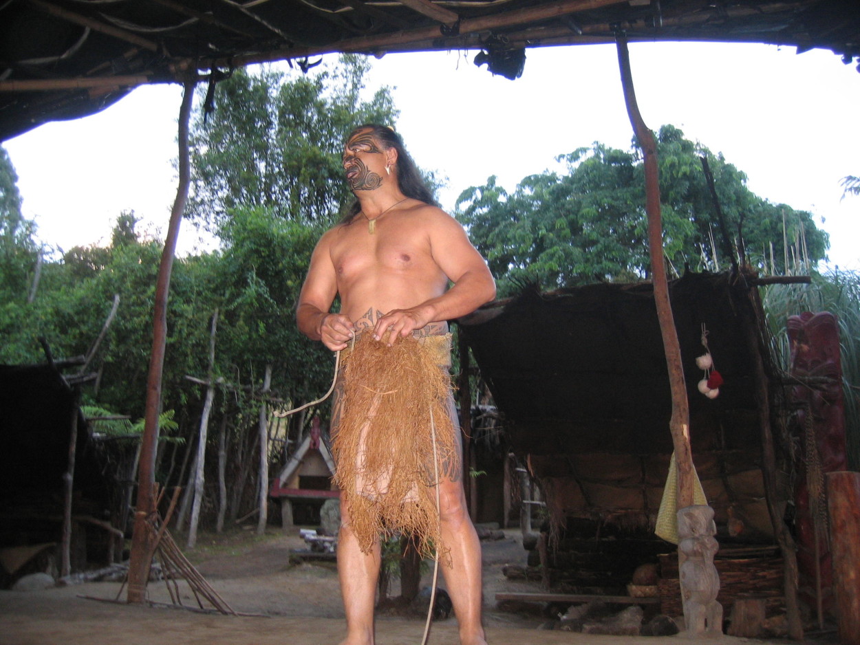
ROTORUA is the main cultural center of the Maori Aborigines of New Zealand
and we decided to watch a theatrical performance of their life.
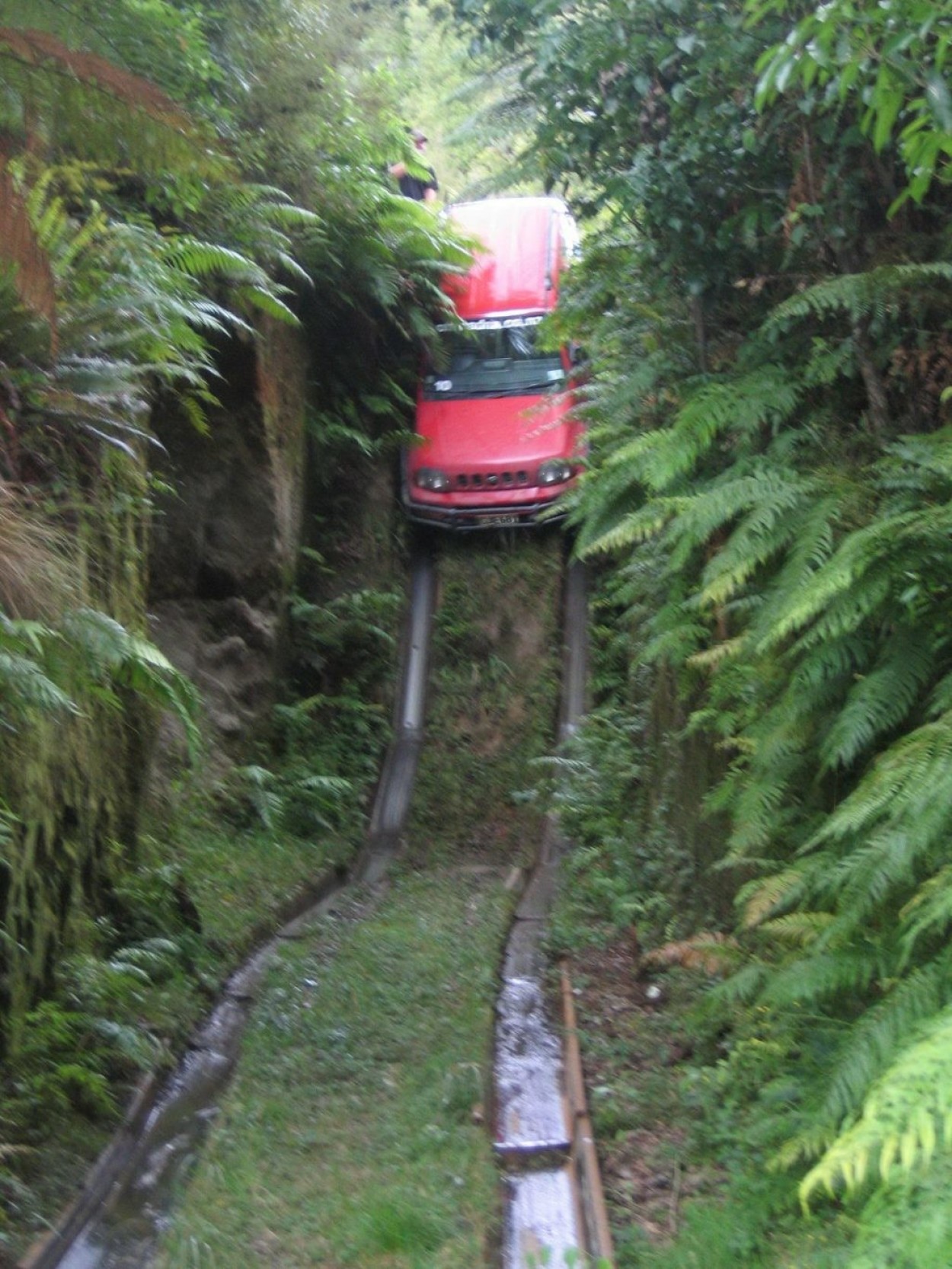
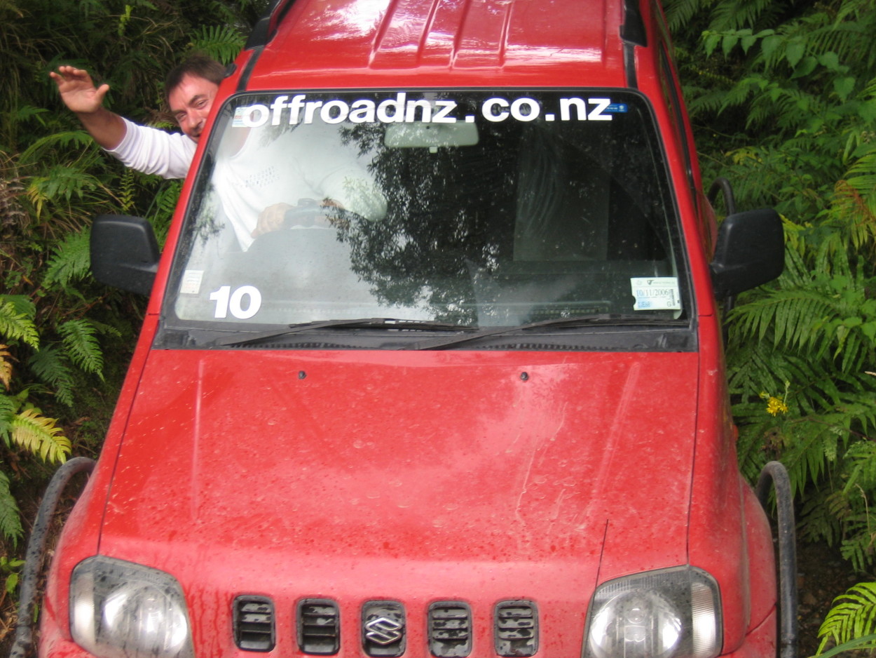
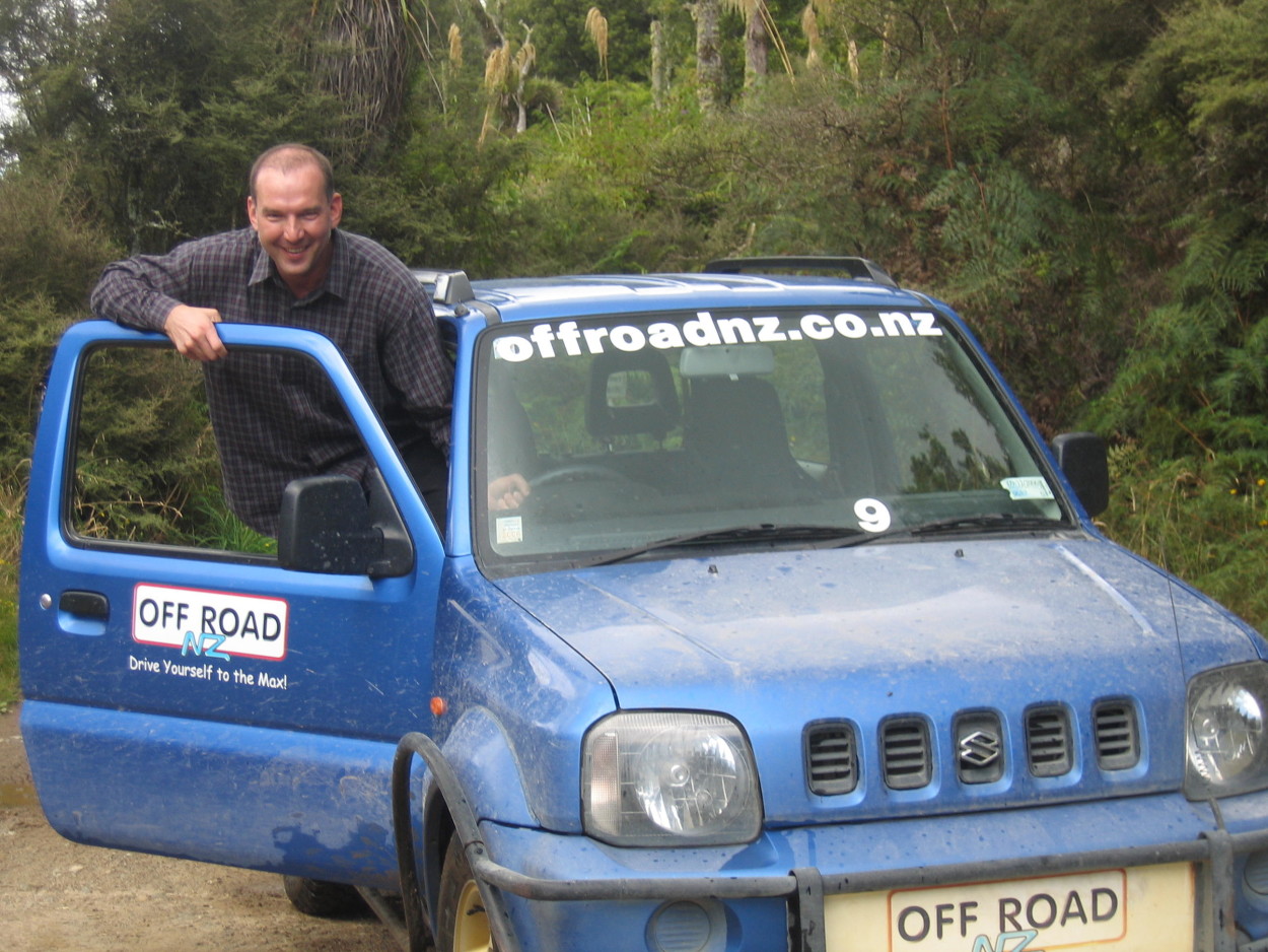
The next morning we start with a jeep safari. Although the track is laid on an artificial range, it still feels very pleasant…
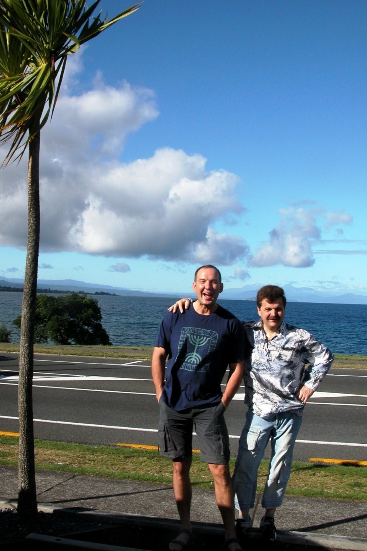
Lake TAUPO – the largest freshwater lake in the Pacific region.
From it flows the largest and deepest river in New Zealand WAIKATO.
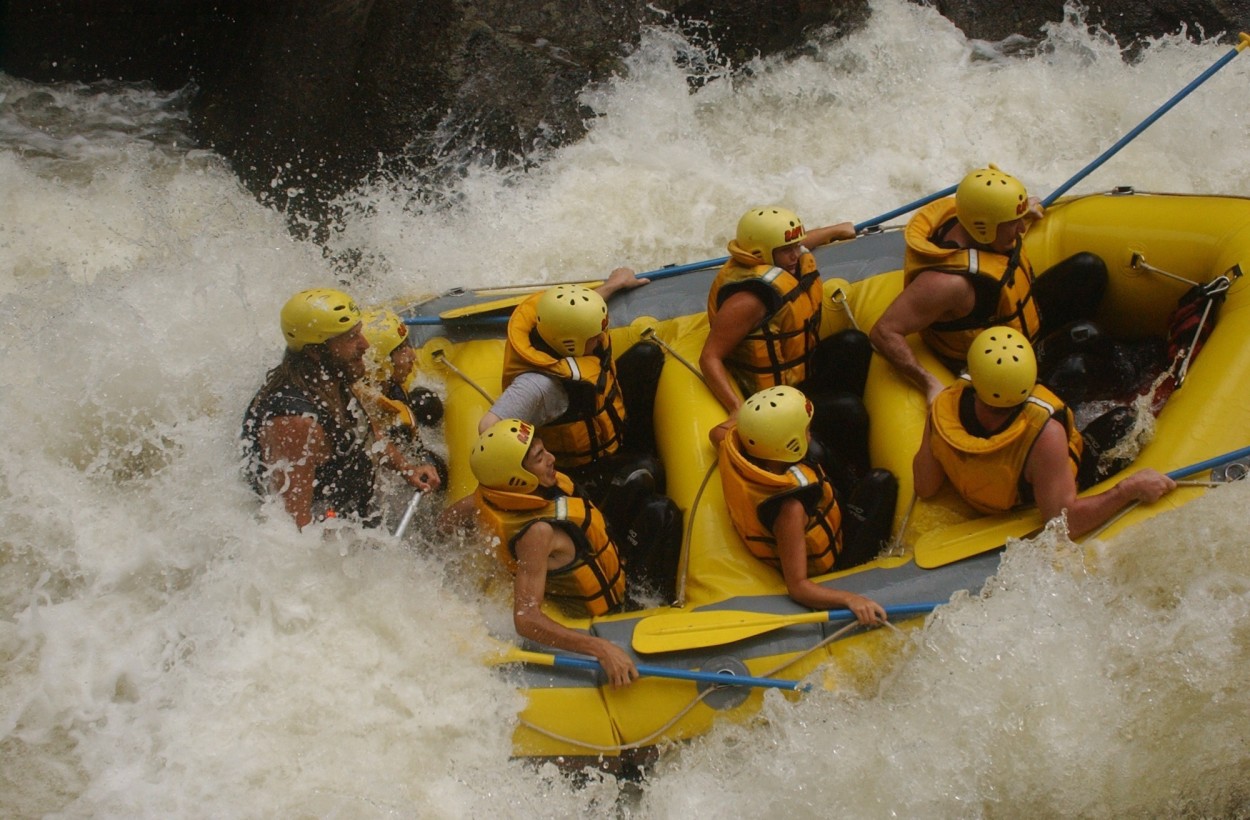
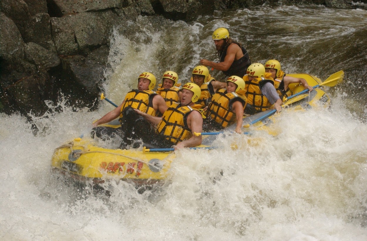
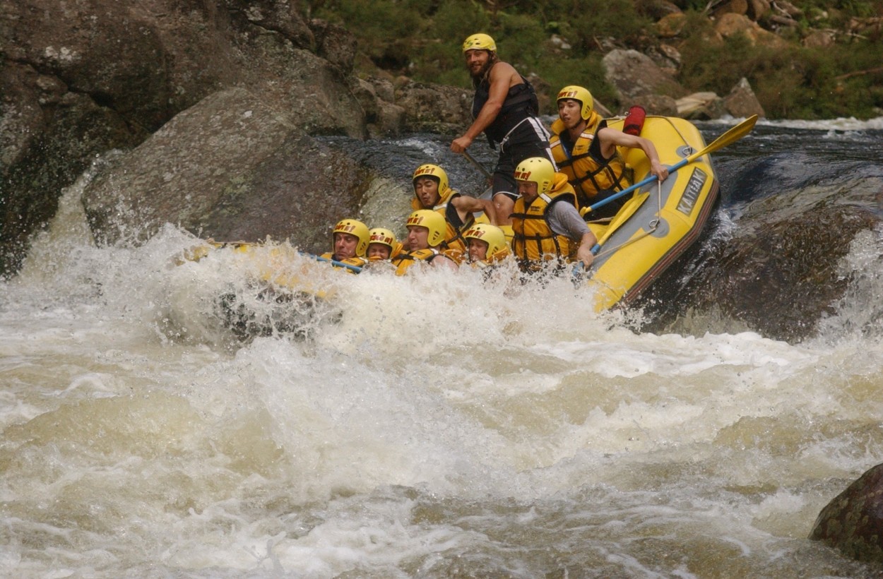
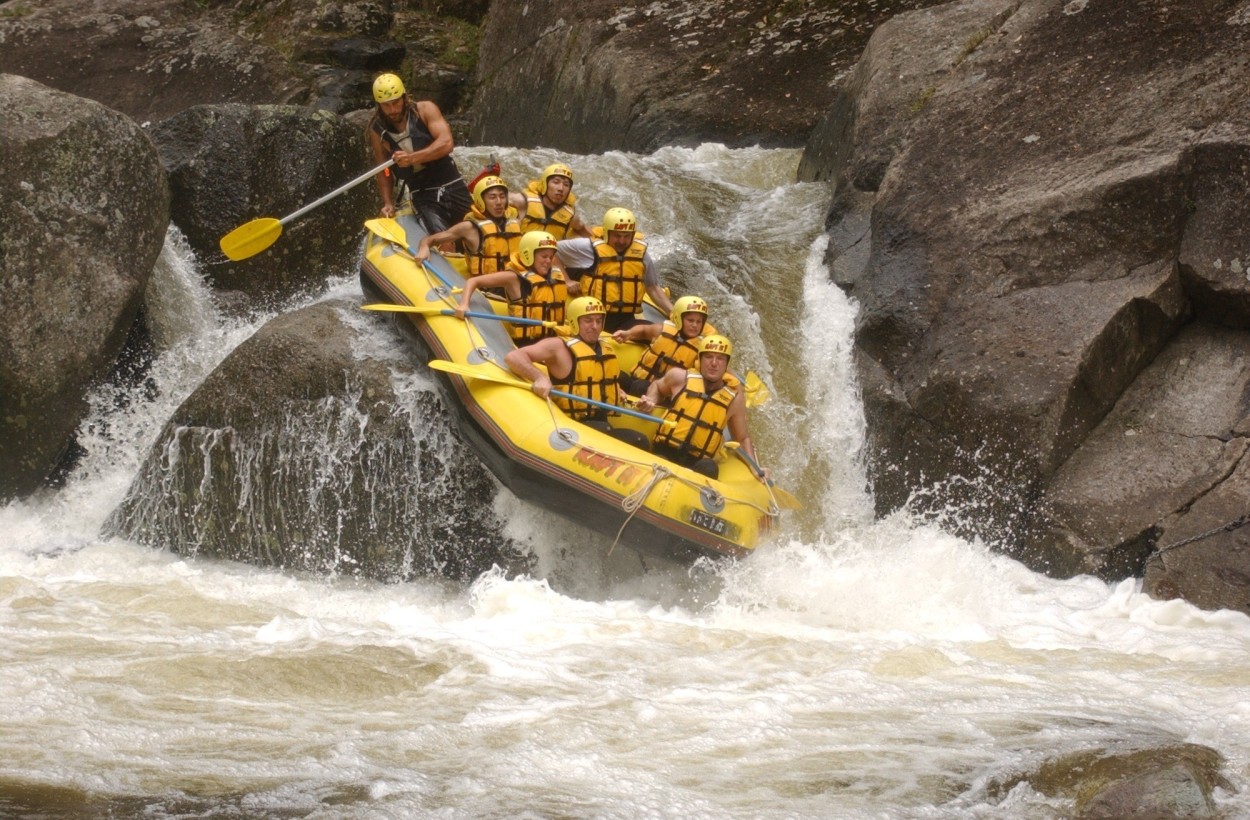
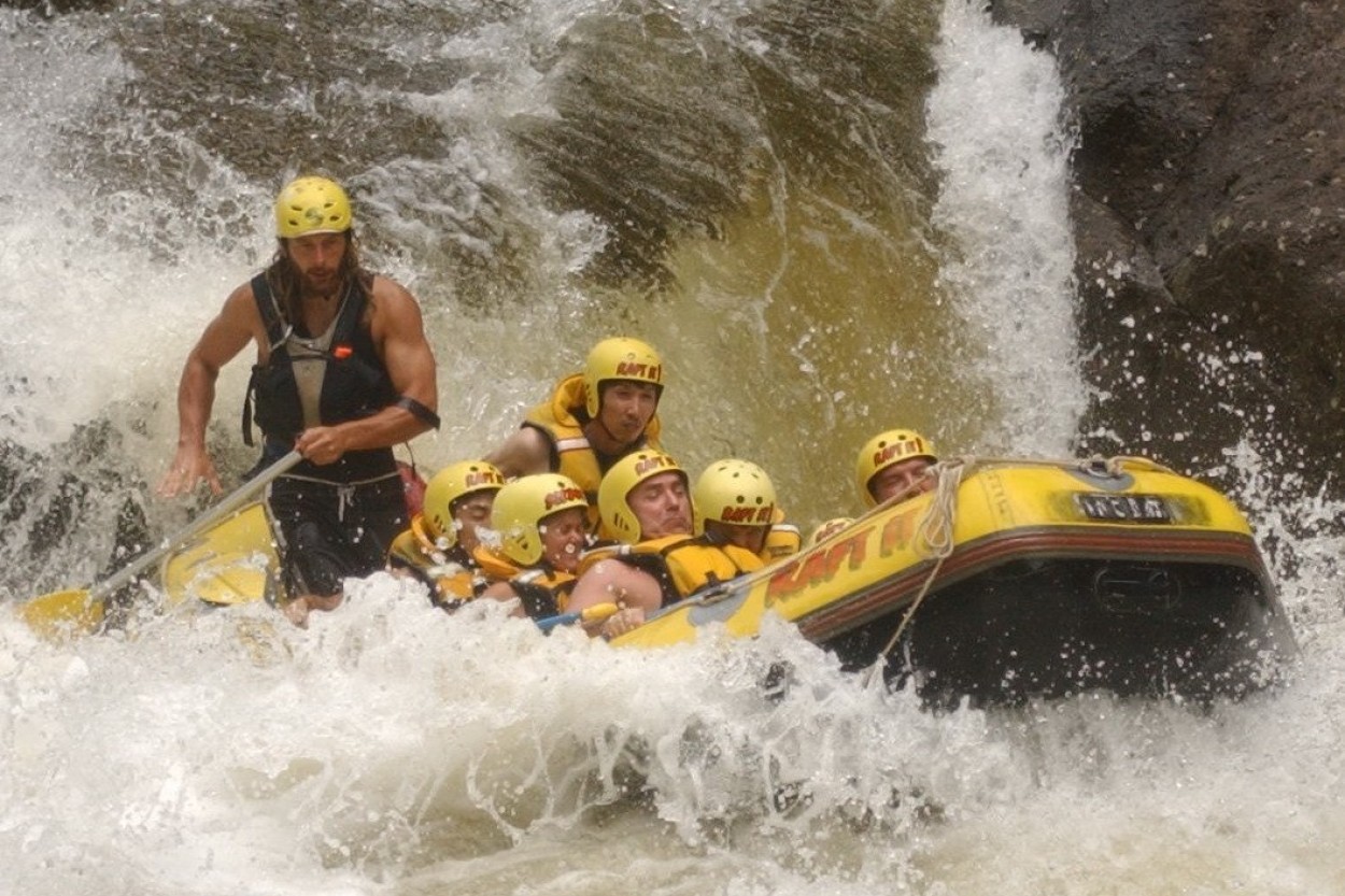
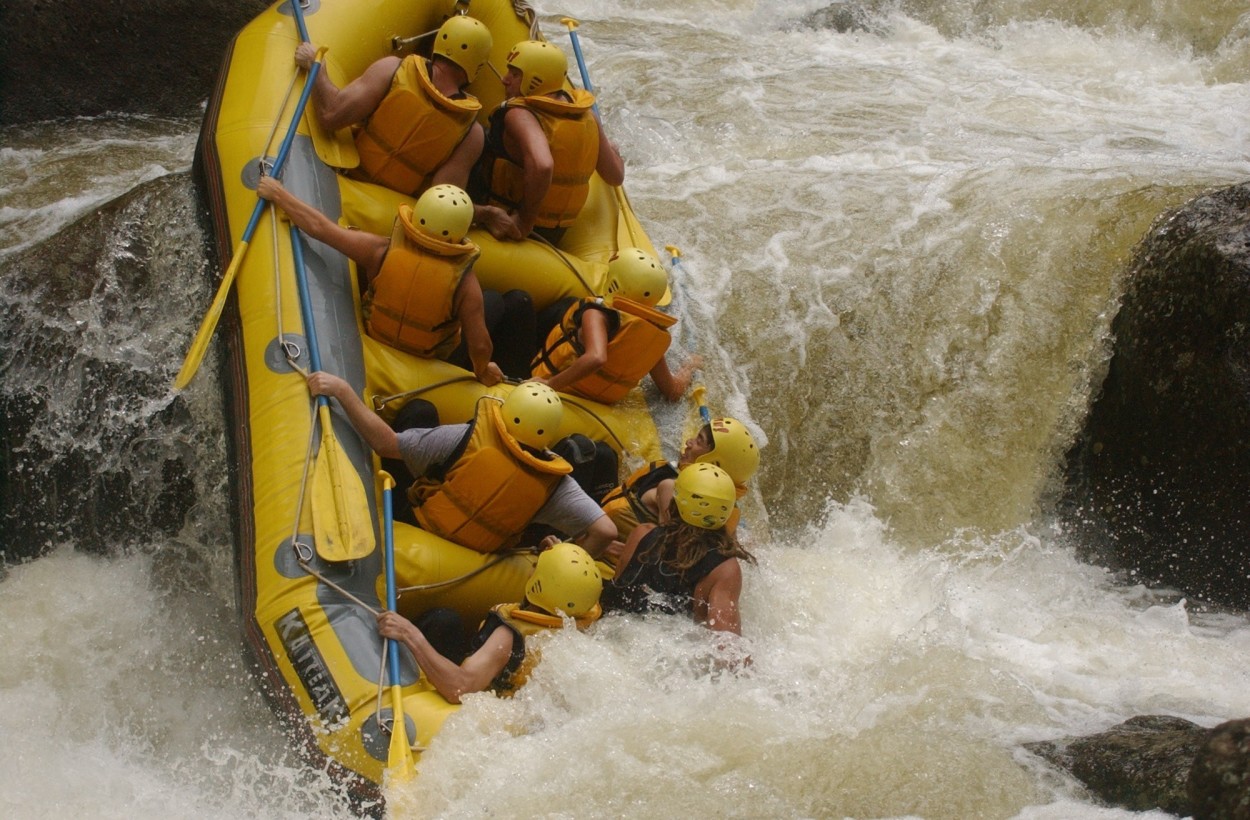
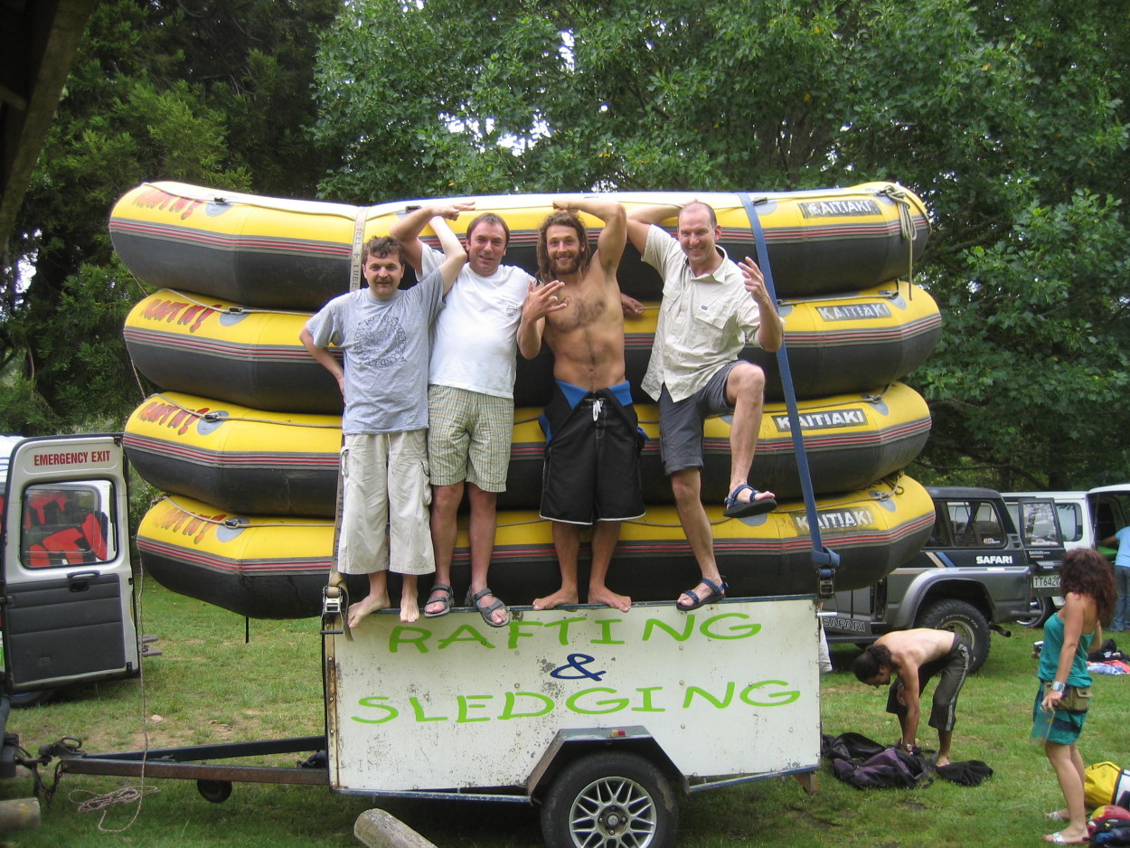
And now we are waiting for an unforgettable rafting with rapids of the fourth and fifth categories of difficulty.
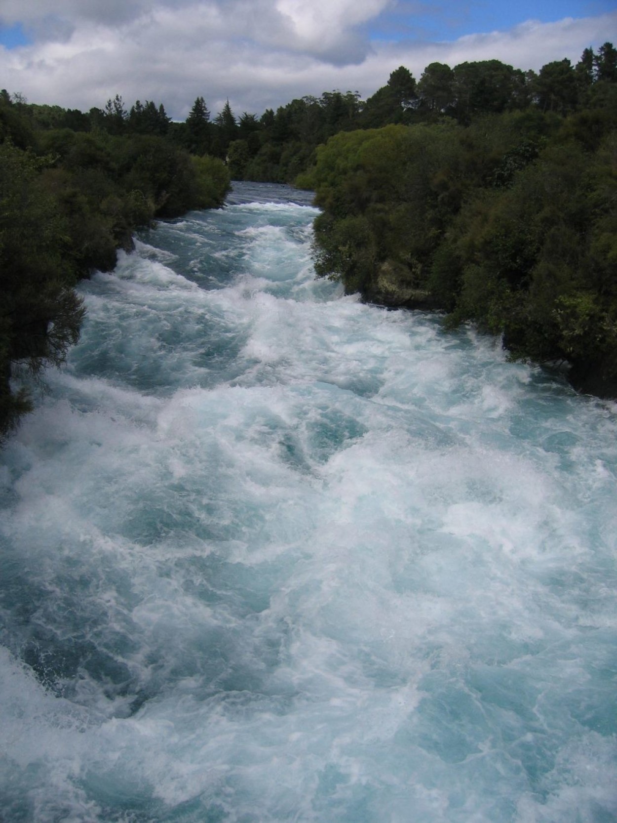
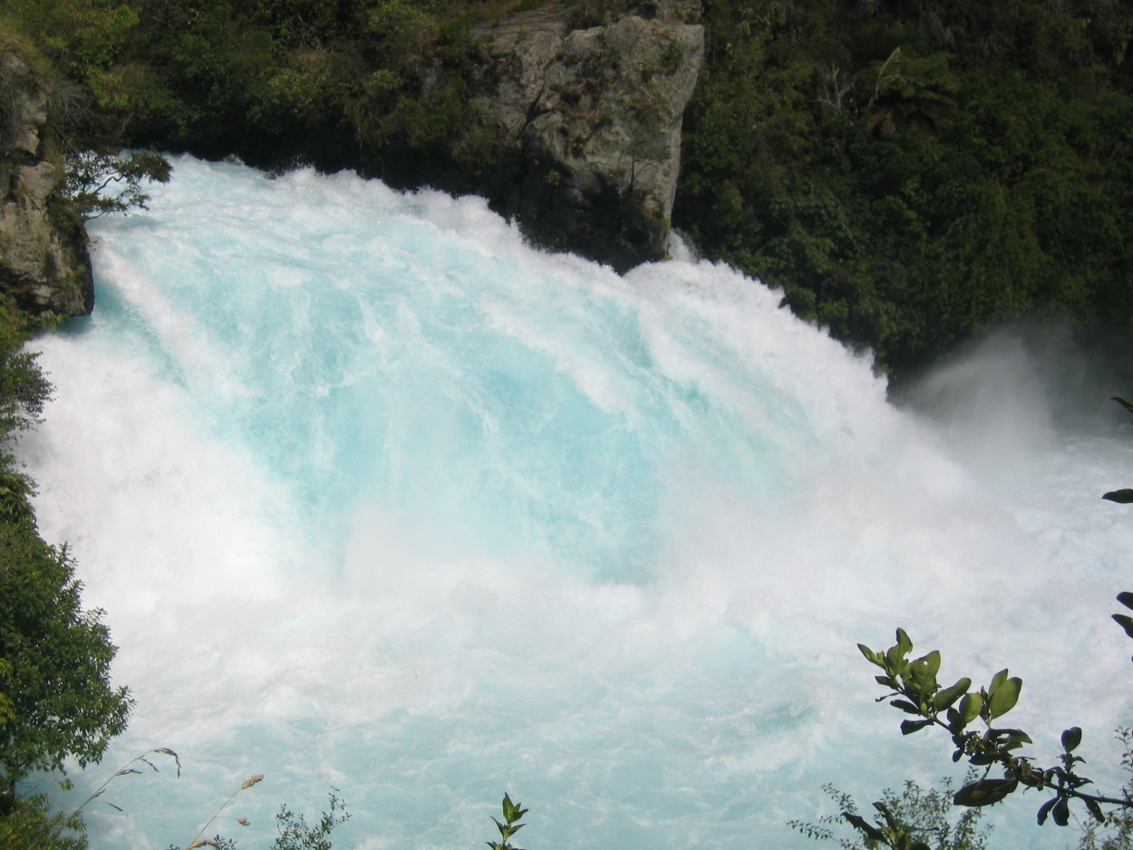
After rafting, we decided to stop at one of the local attractions – at the GUKA waterfall.
Its clear waters attract tourists both overland and along the surface of the WAIKATO River.
And again the underground breath of the mysterious EARTH … It seems that the line between reality and mysticism is being erased…
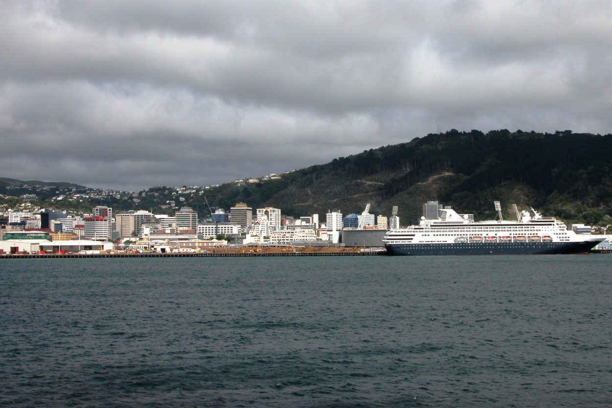
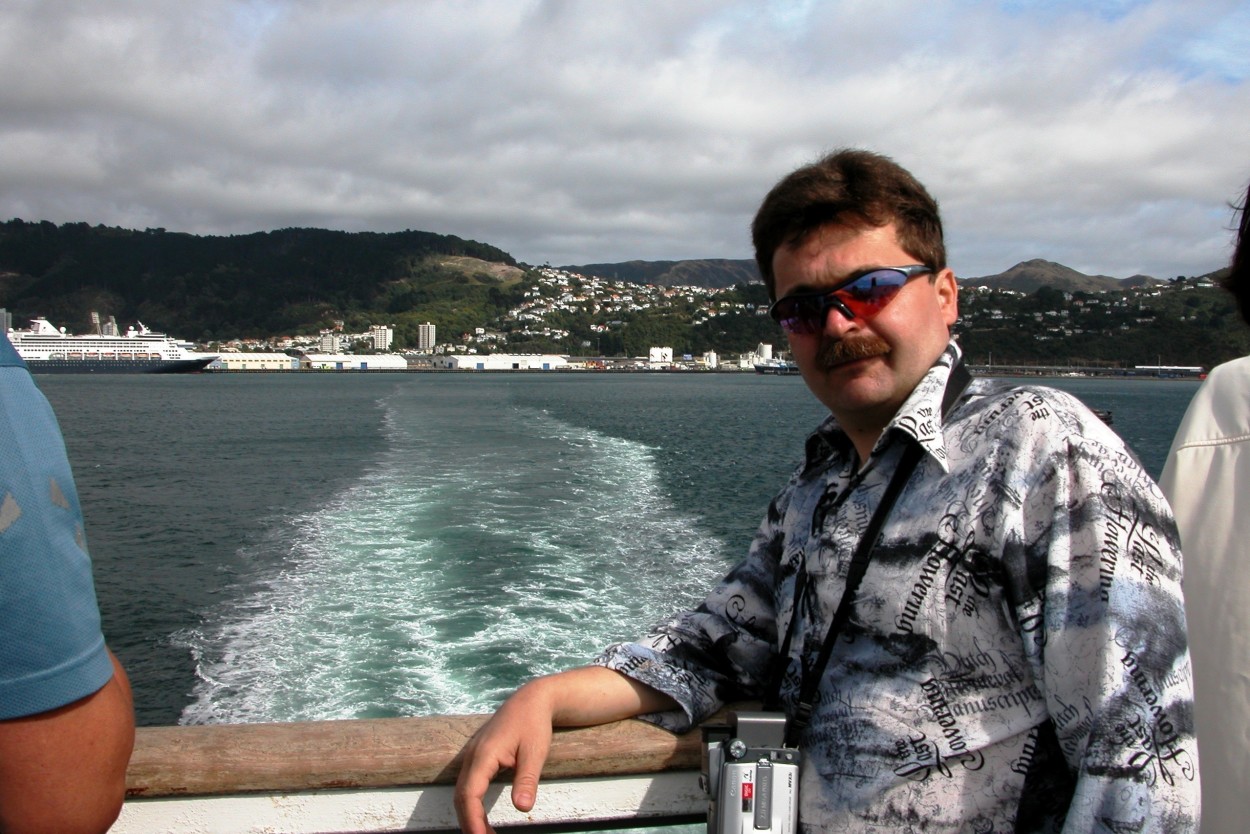
Our acquaintance with the North Island has come to an end. Today we have to move from the city of TAUPO to WELLINGTON – the capital of New Zealand and further to the South Island.
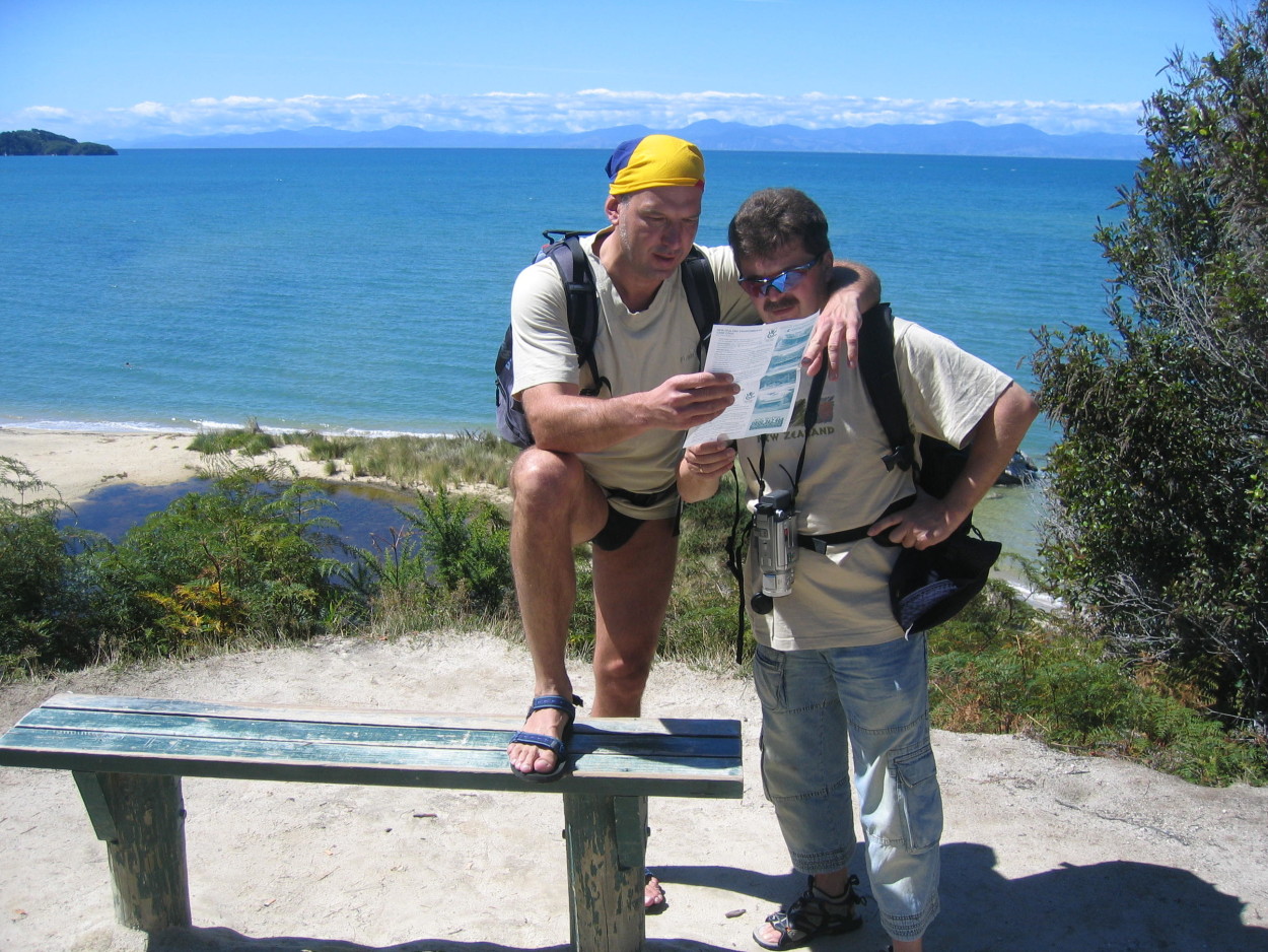
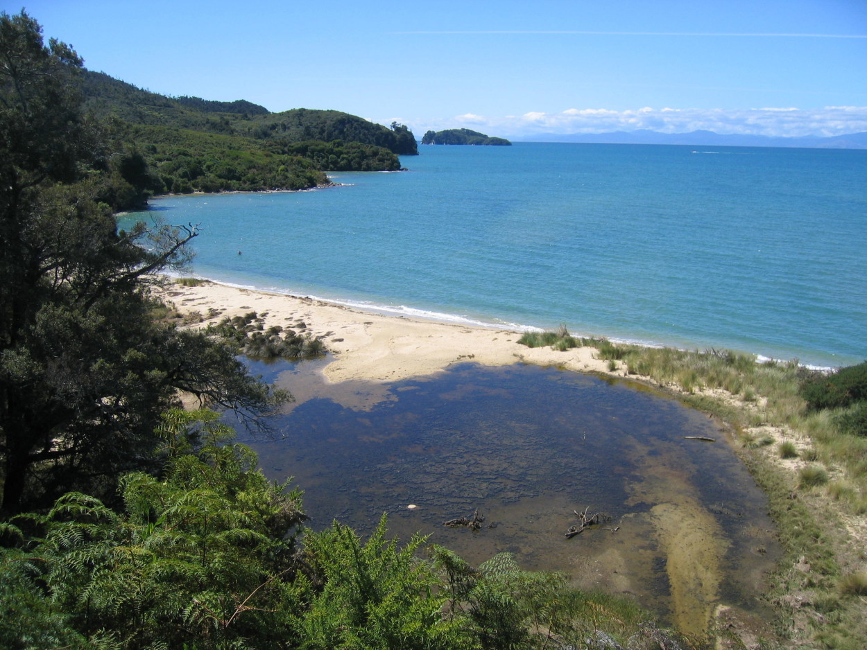
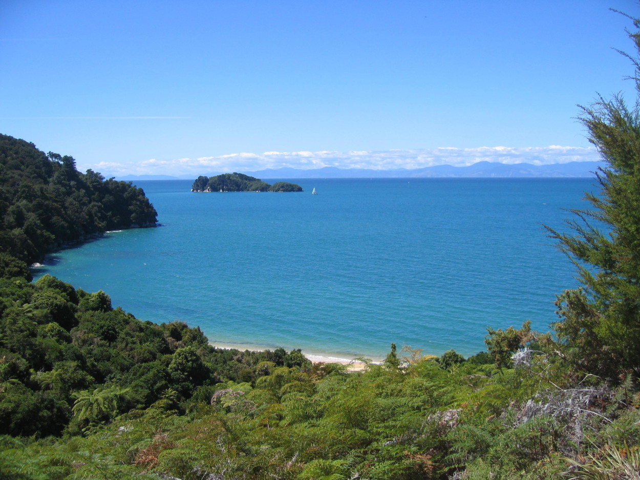
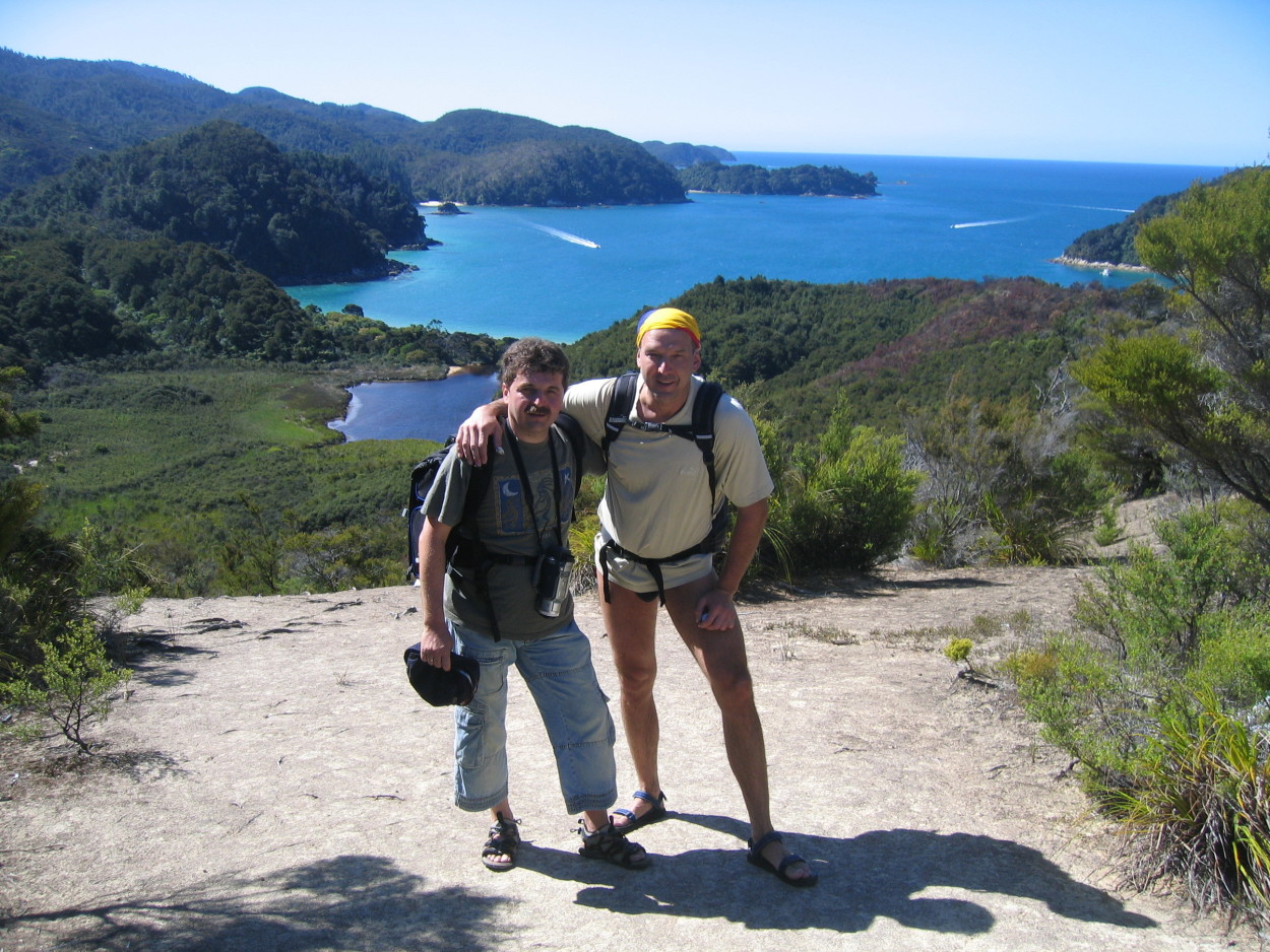
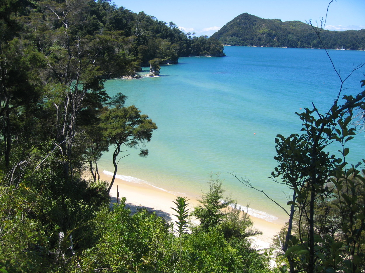
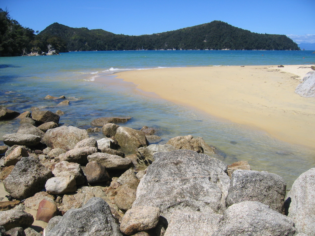
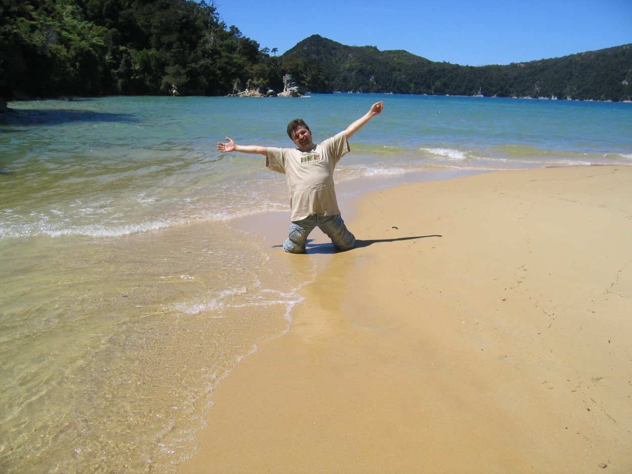
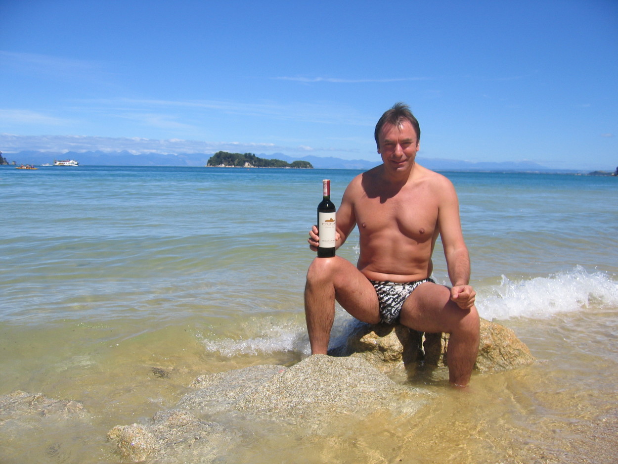
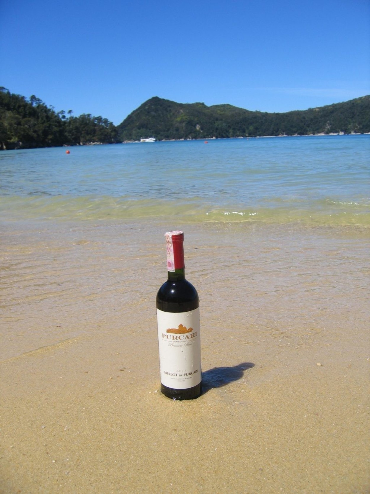
We say goodbye to the North Island and our way will be to Abel Tasman National Park, where we will make a six-hour hike to Golden Bay.
Abel Tasman National Park is located in the far north of the South Island along the southern end of Golden Bay. It is the smallest national park in New Zealand. Its area is just over 225 square kilometers.
And our path lies further south.
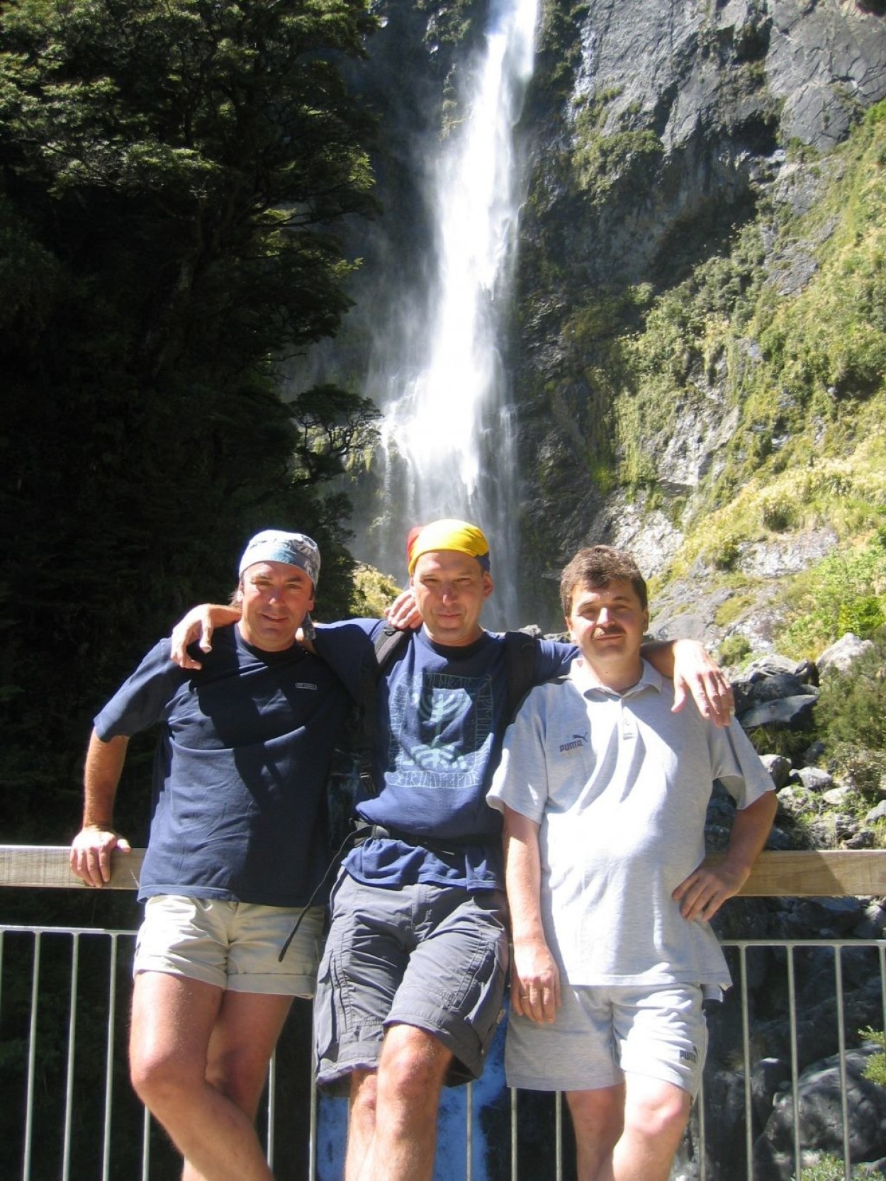
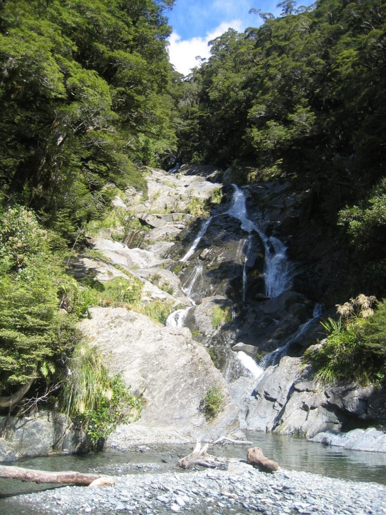
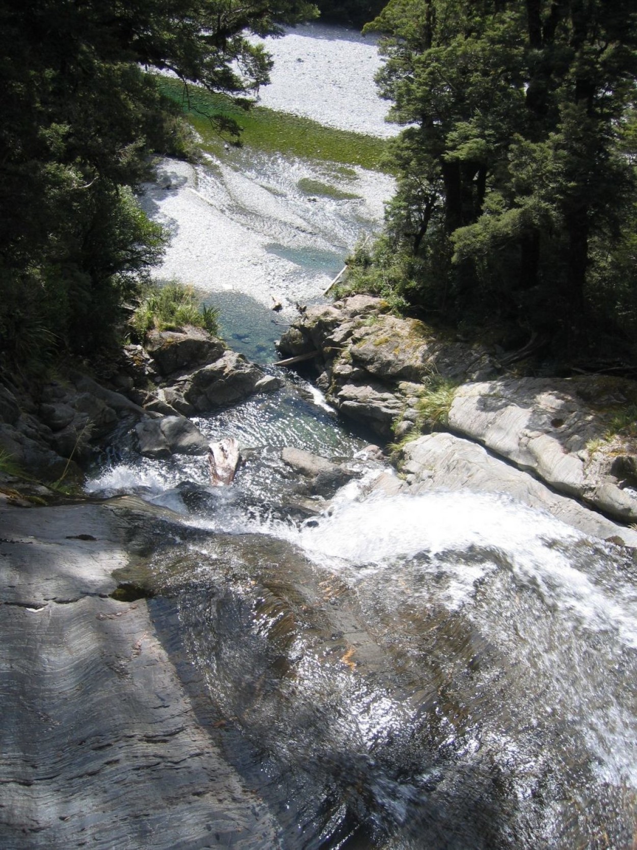
Having reached the ARTHURS PAS pass, we left the car in the village of the same name and went on a hike to the PUNCH-BOVI waterfall.
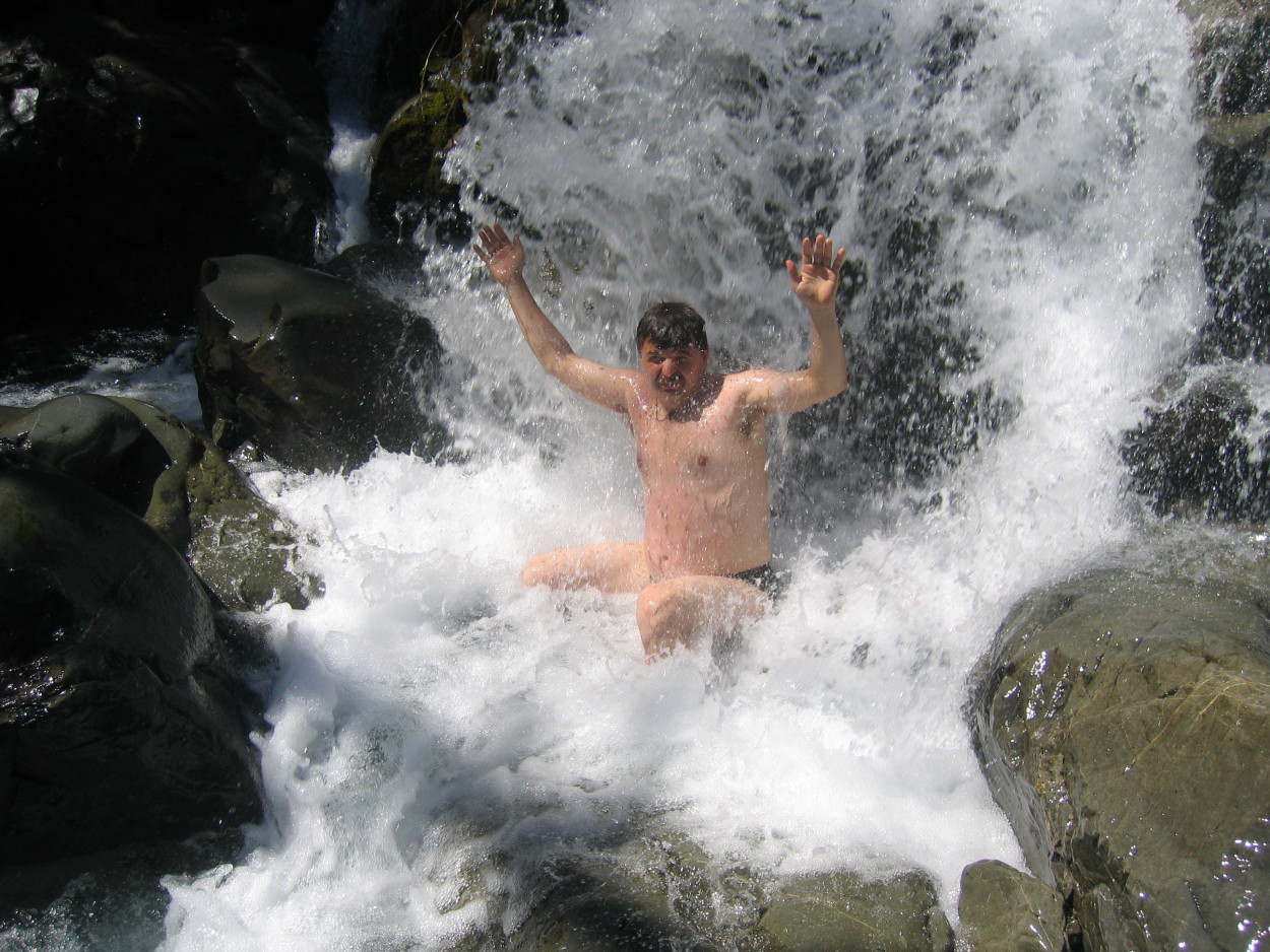
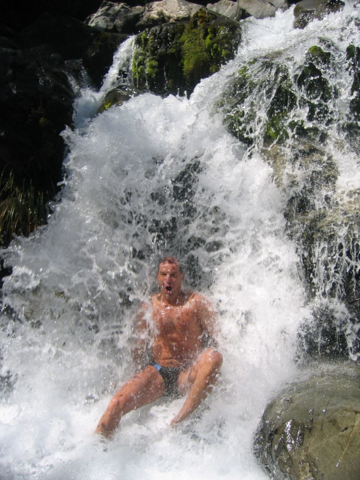
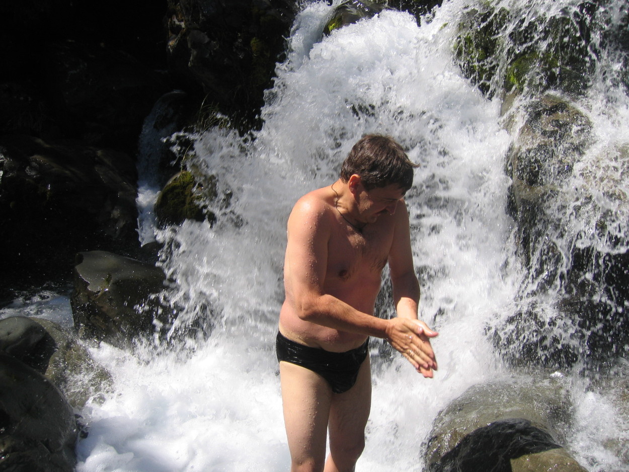
The gorge with a waterfall is mesmerizing with its majestic beauty. Streams of water fly from a height of 131 meters along a vertical cliff, turning into a mountain river below. And we, of course, could not help but swim in it, although the water is quite cool – 14-15 degrees…
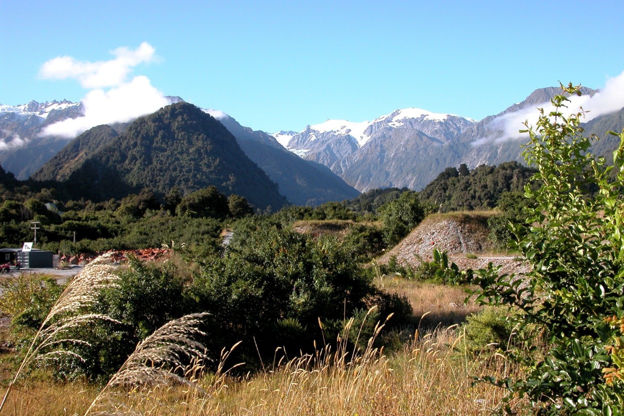
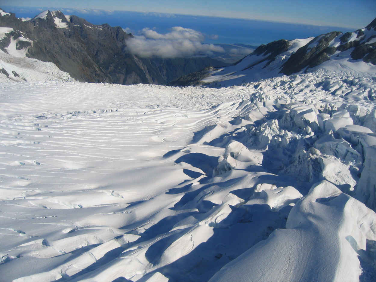
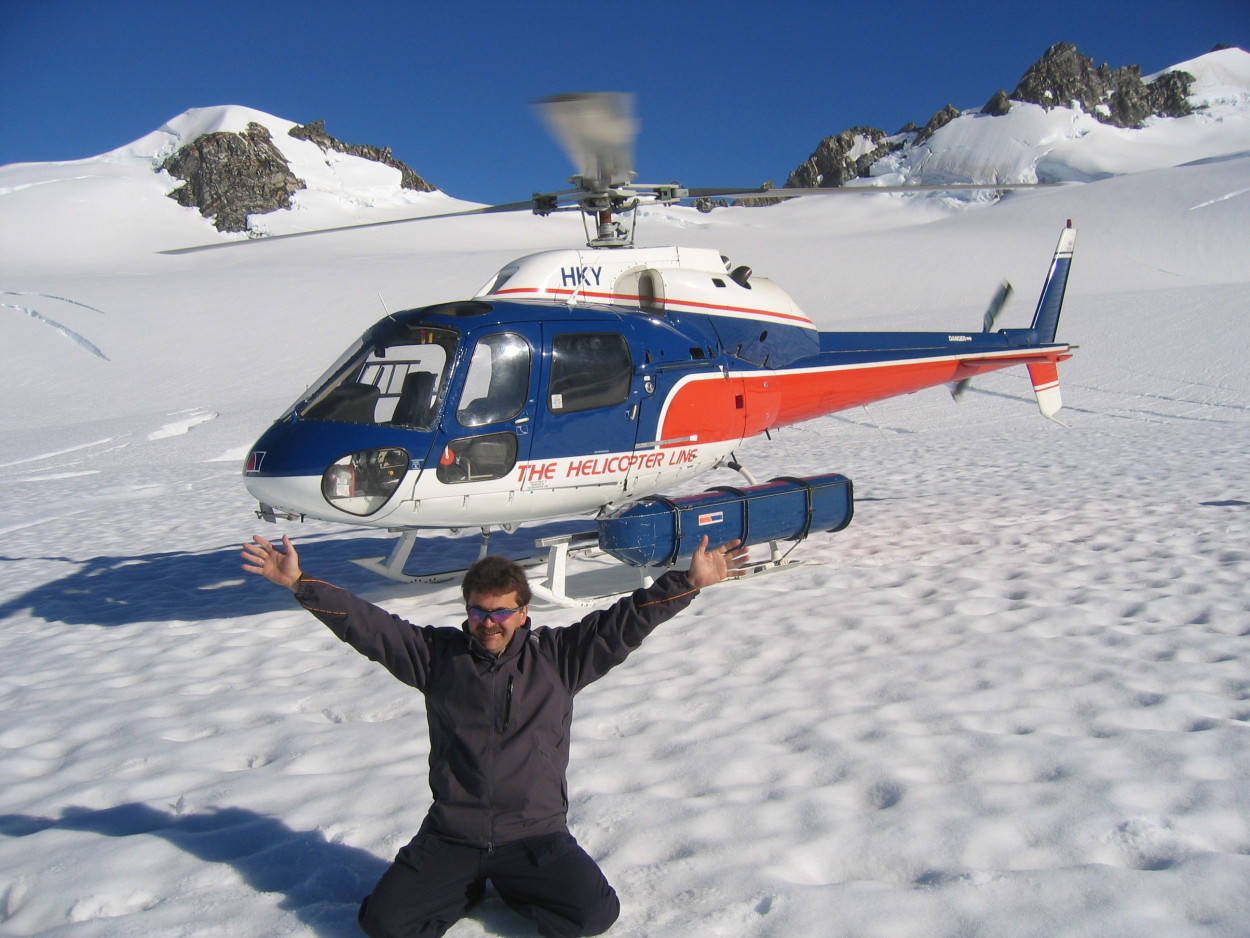
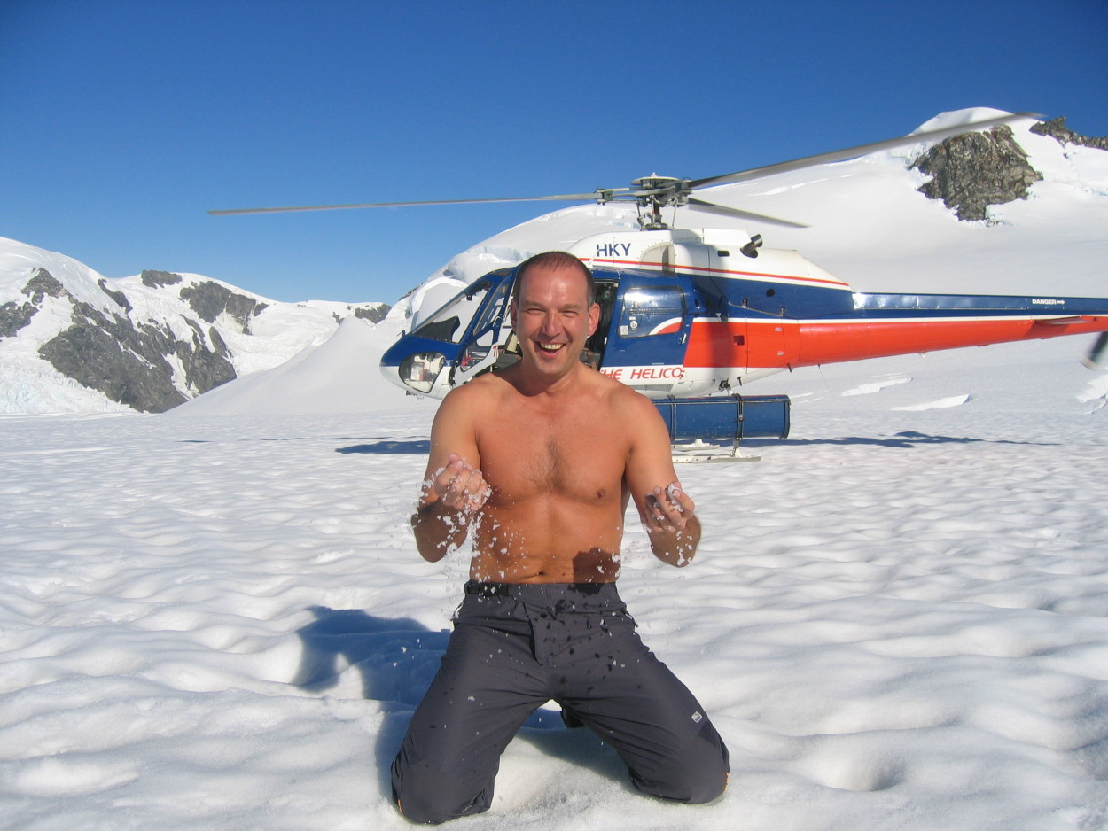
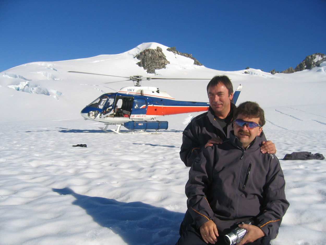
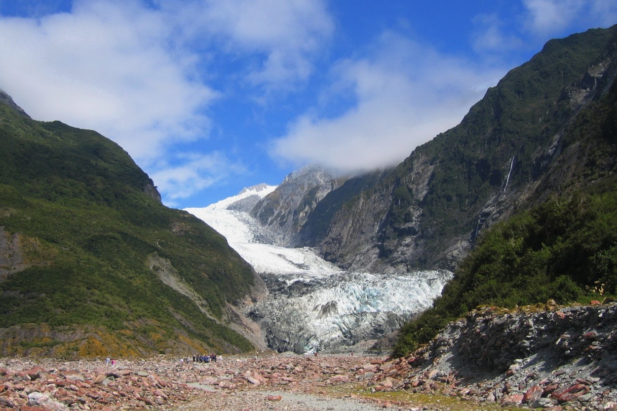
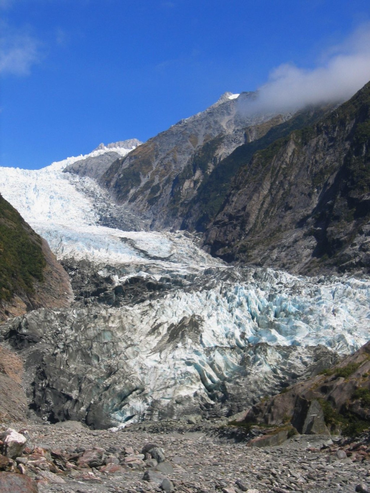
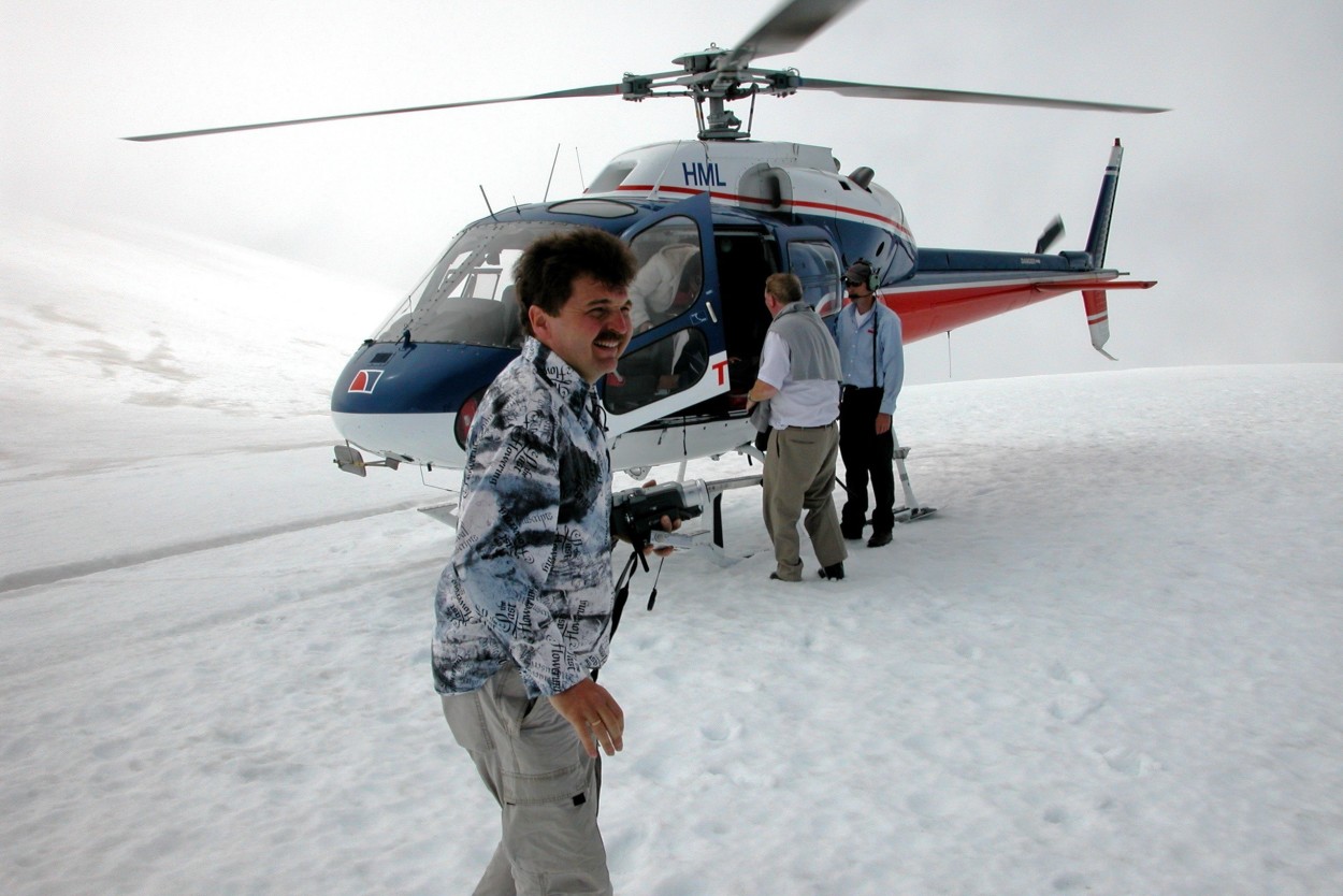
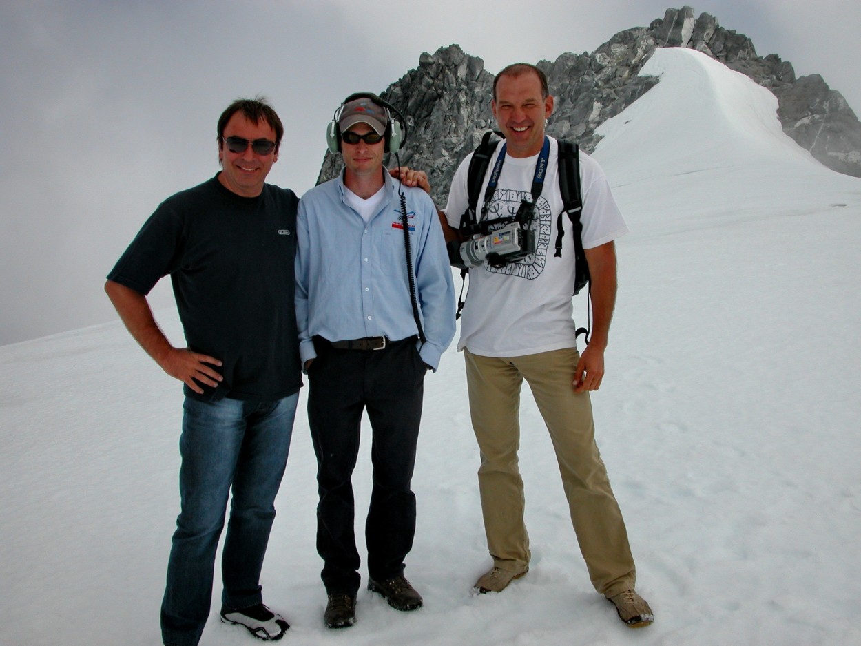
After spending the night in a small village, not far from the SANT JOSEPH glacier, we arrived at the local airport, where we will have an exciting flight with a landing on the glacier.
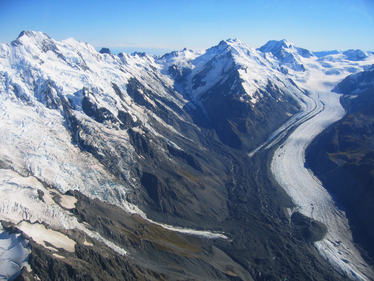
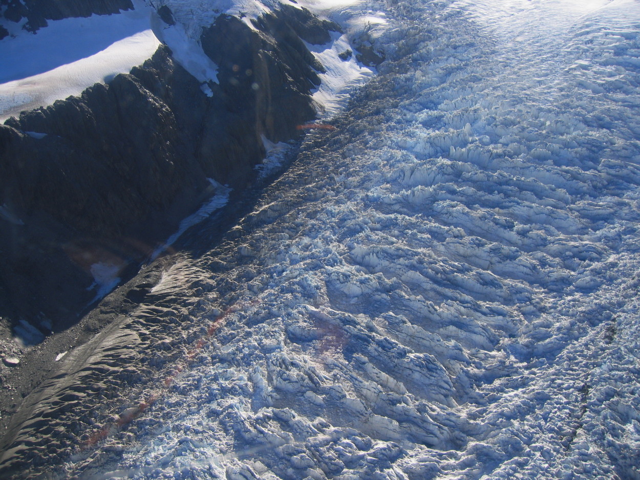
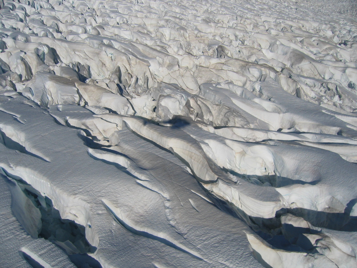
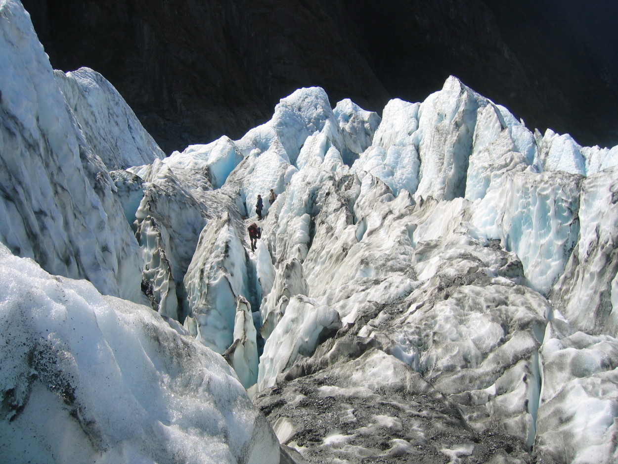
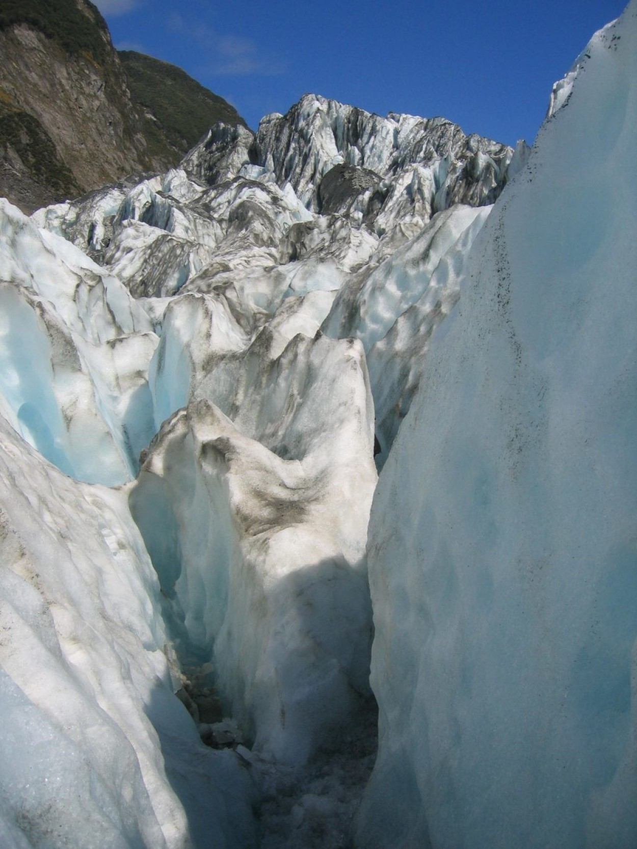
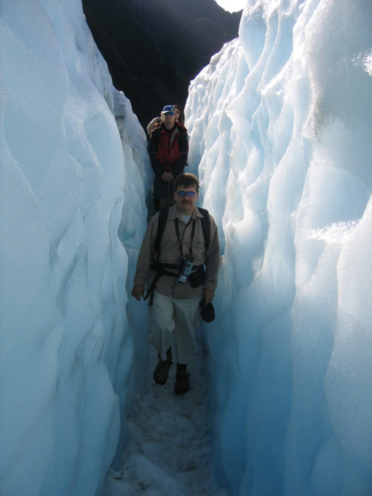
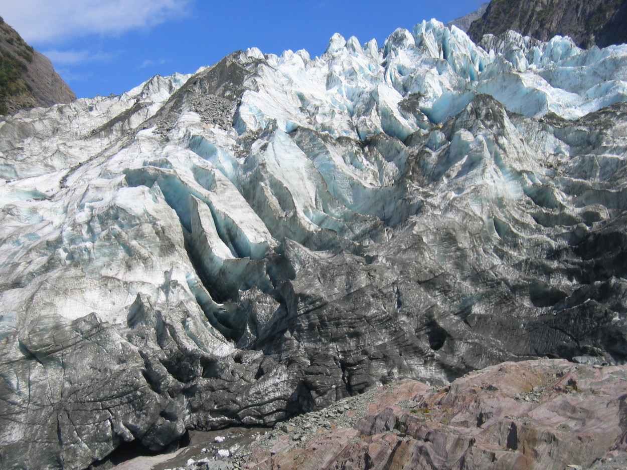
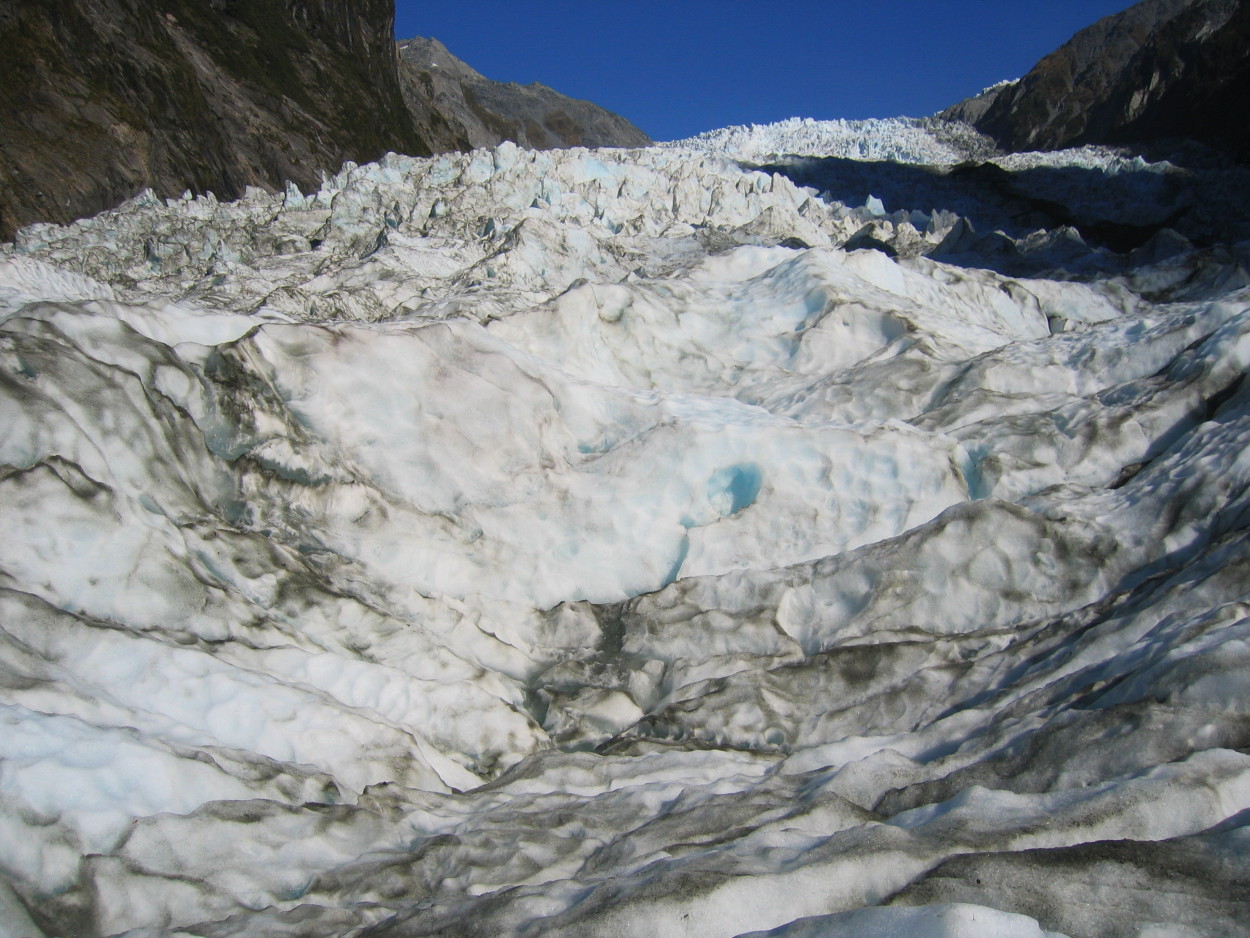
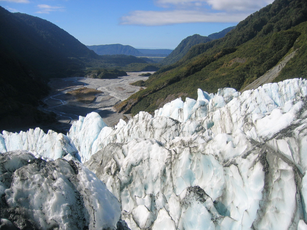
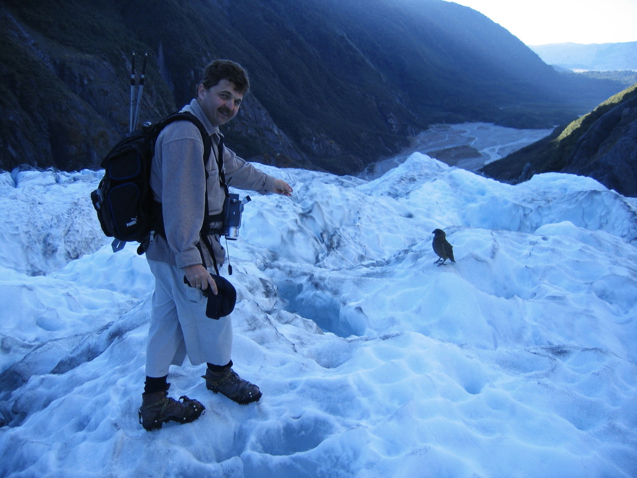
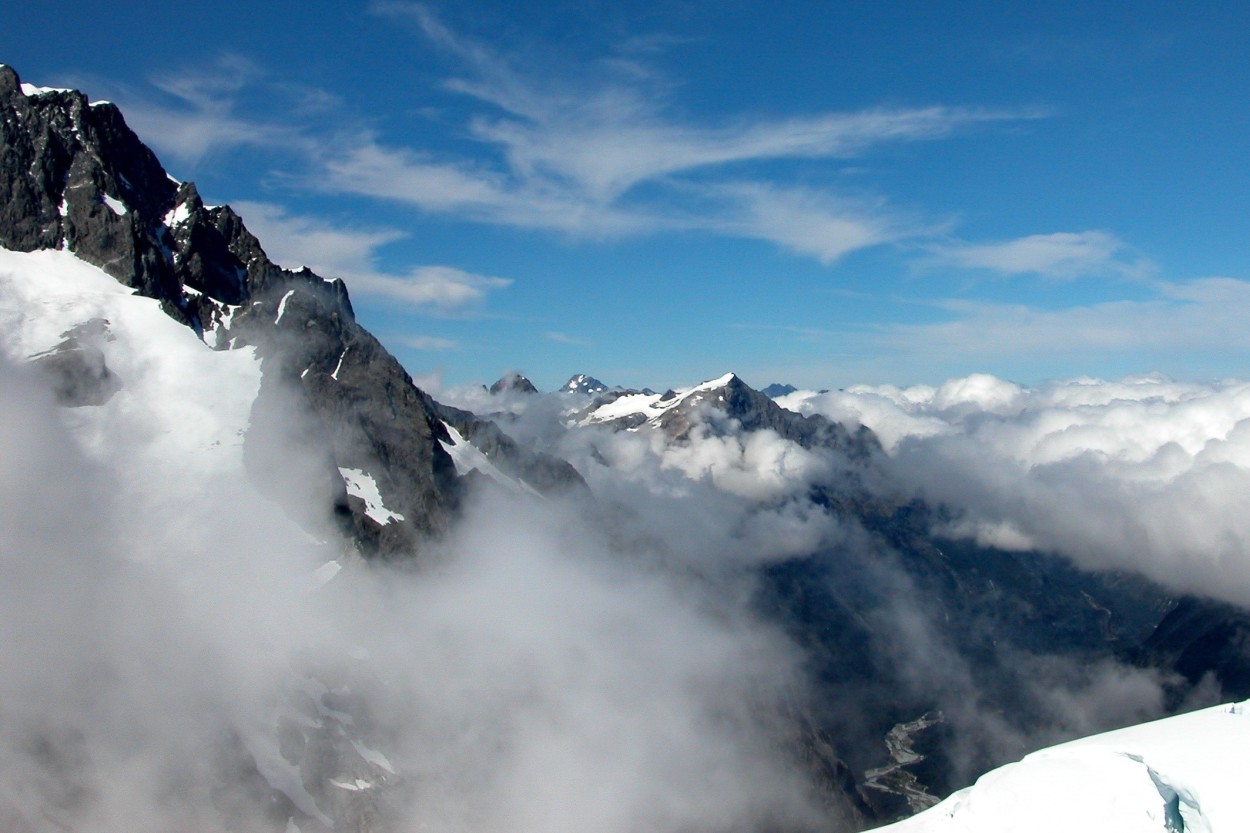
Having received great pleasure from the flight, we, accompanied by a local guide, set off on a hike on the SANT JOSEPH glacier. The glacier is 12 km long. Starting from a height of 2700 m, the glacier bursts into a tropical forest at a height of three hundred meters.
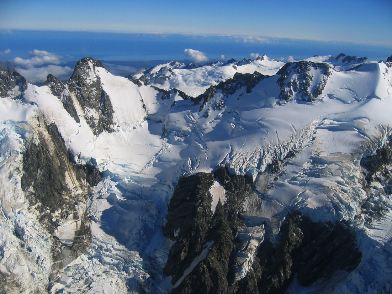
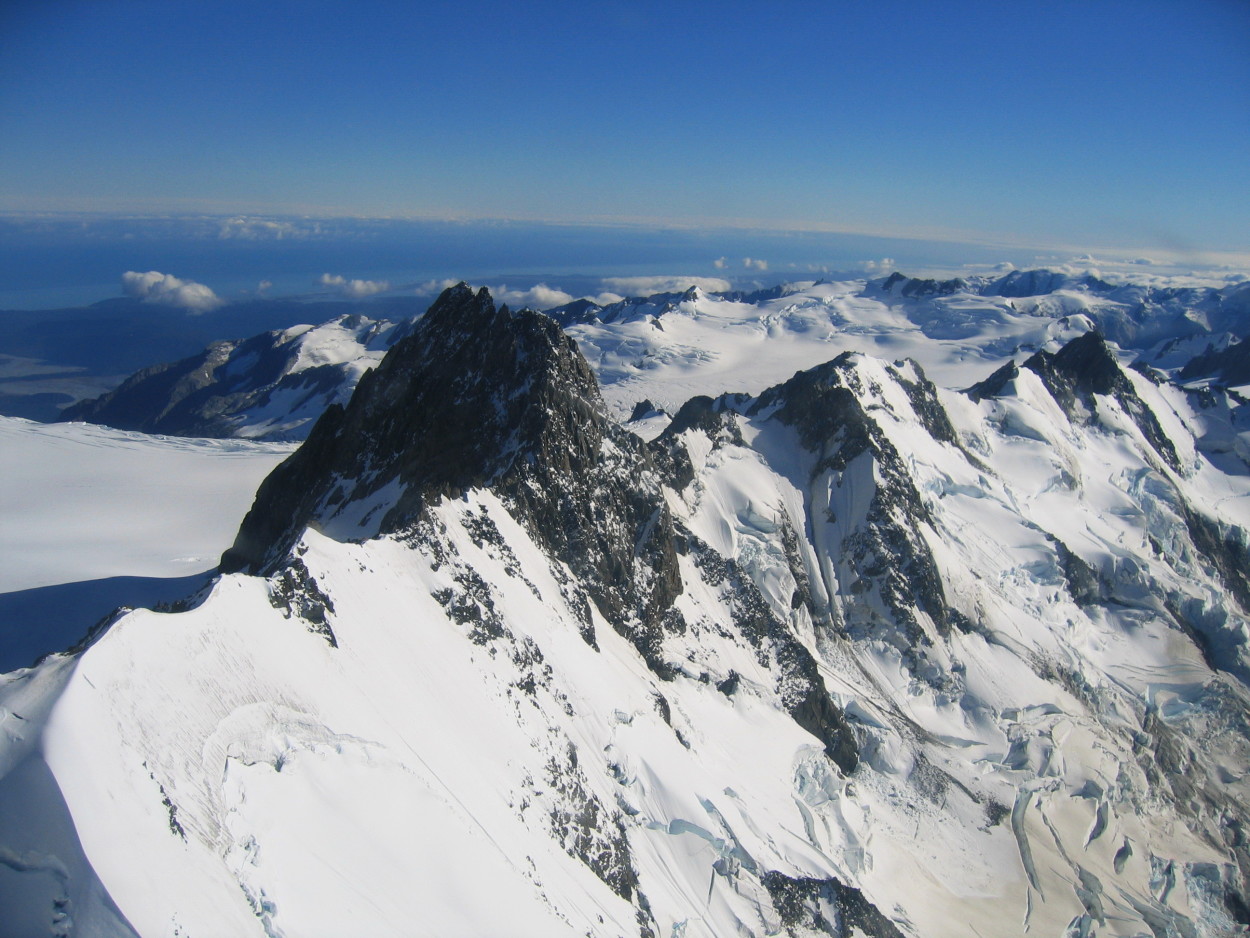
Icy peaks and crevices fascinate us with their power and icy silence.
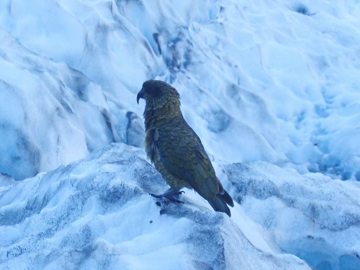
Suddenly, on one of the ice slopes we meet a local feathered inhabitant – this is a KEA bird from the parrot family.
After the hike to the glacier, we wanted to relax and we stopped in a picturesque place on the shore of WEST KOAST.
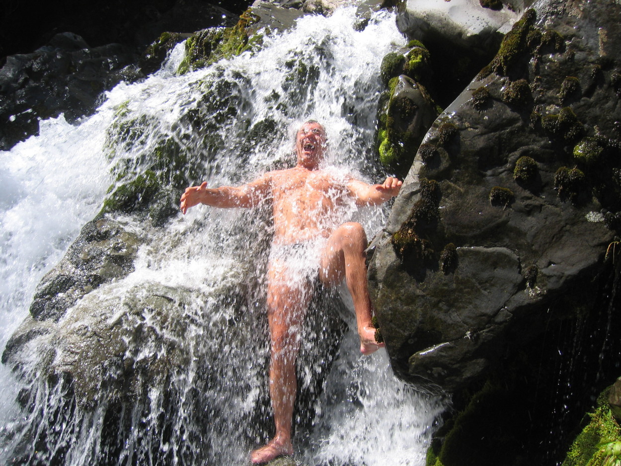
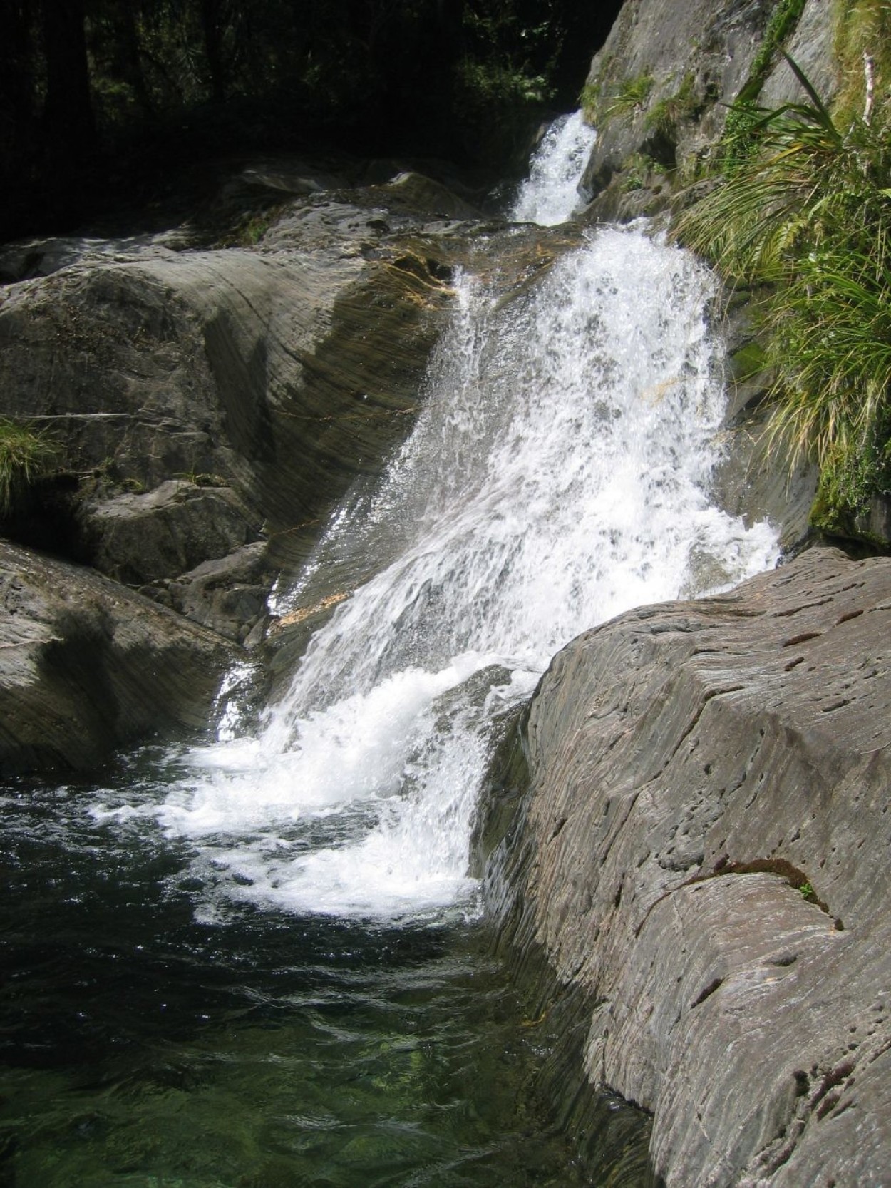
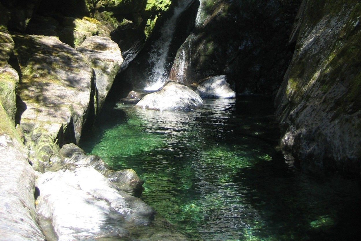
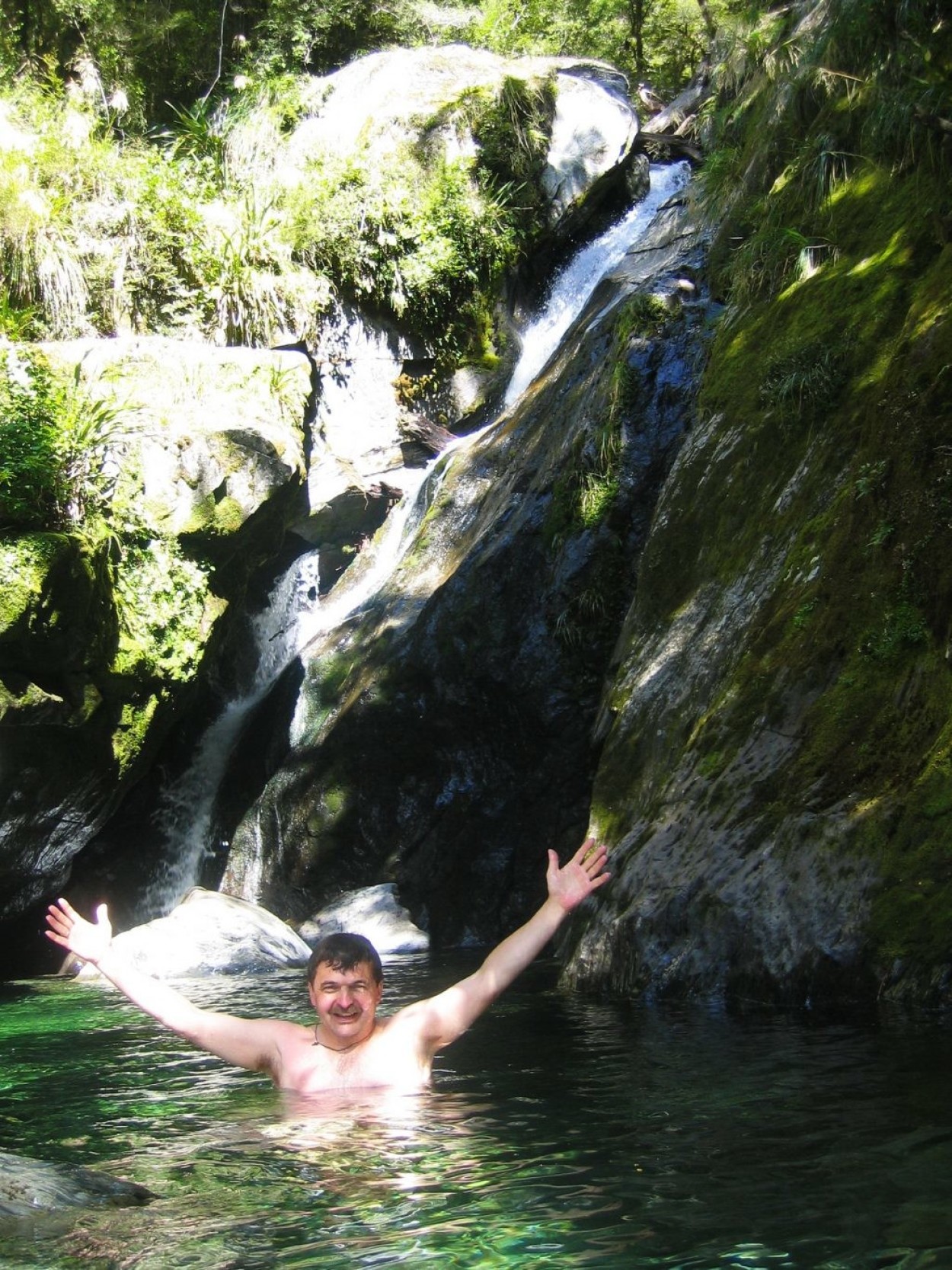
Then it seemed to me that the peak of emotions of this trip had already passed. Walking along a mountain stream, I saw a waterfall and decided to climb it.
At a height of sixty meters, a fabulous lagoon with many natural baths opened up to me…
Here, alone with nature, I spent five unforgettable hours.
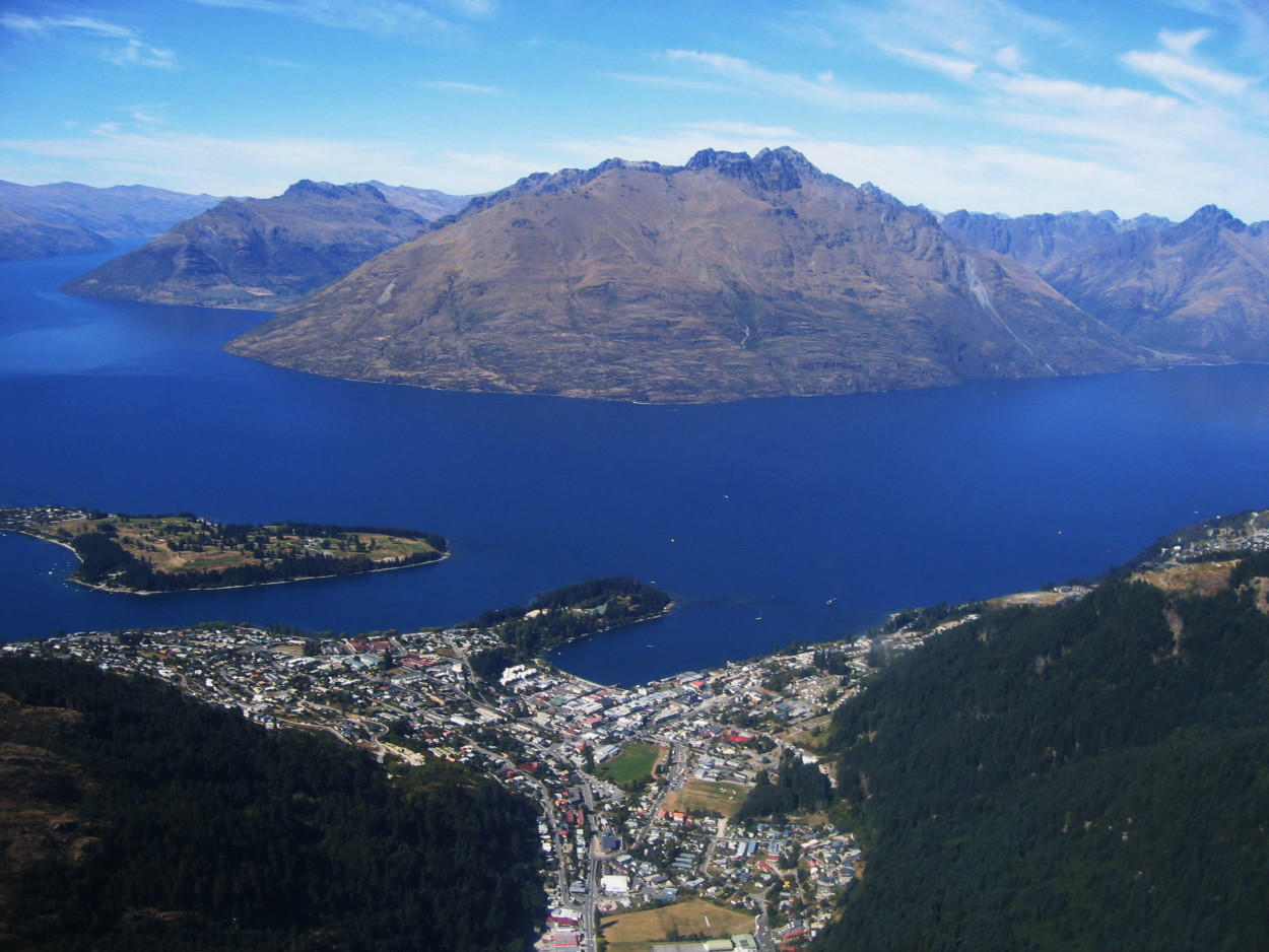
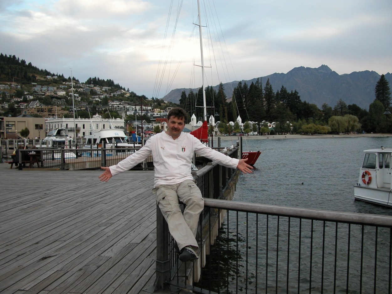
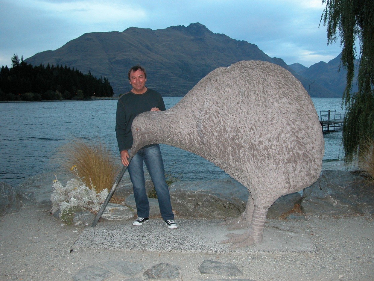
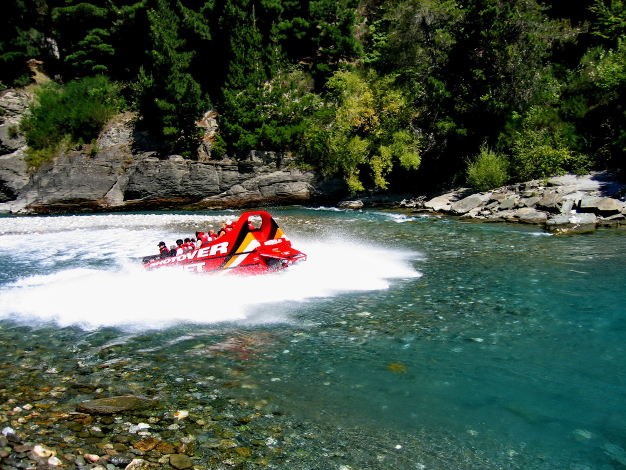
Queenstown – New Zealand Adventure Tourism Center.
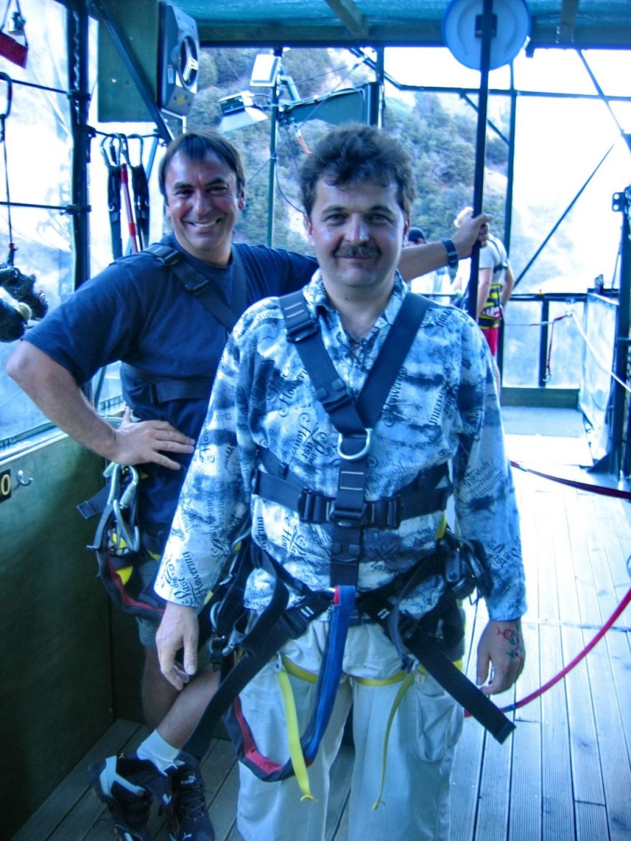
Extreme people from all over the world gather here and we also decided to get our dose of adrenaline…
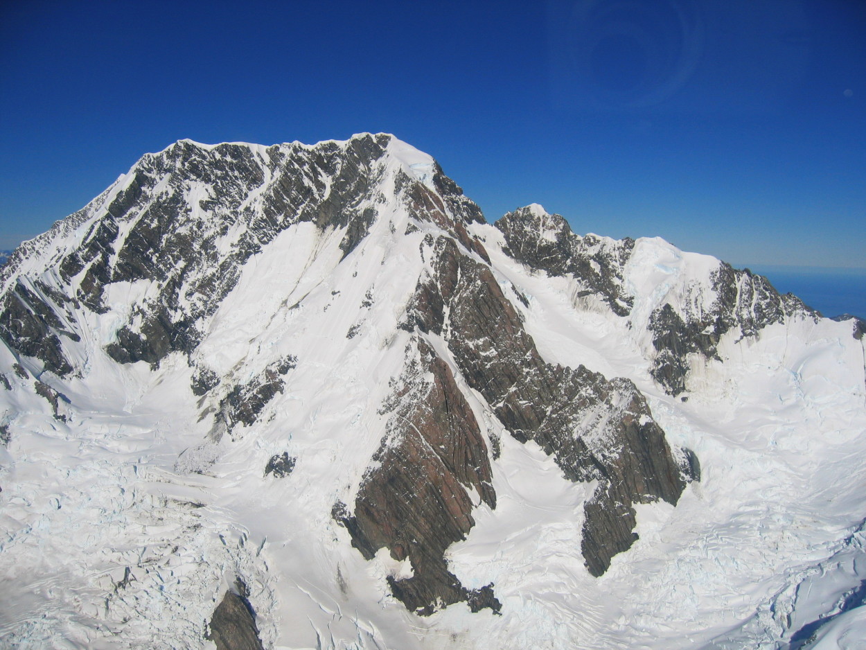
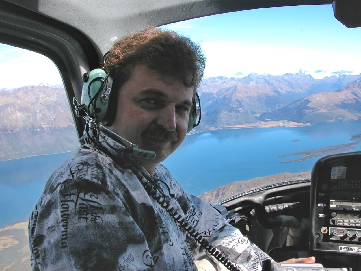
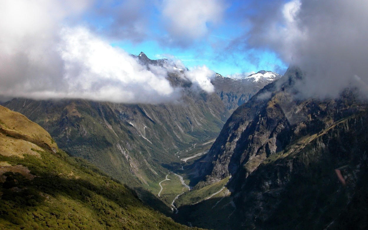
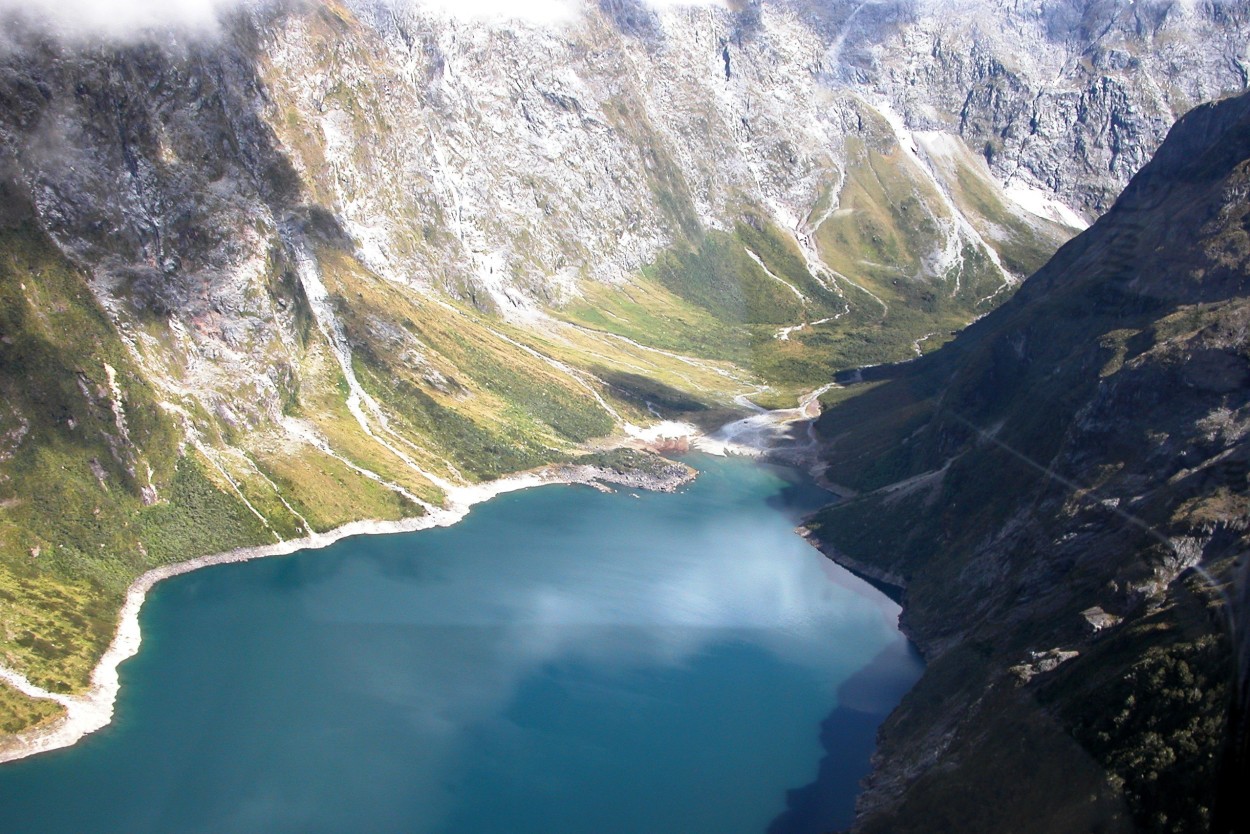
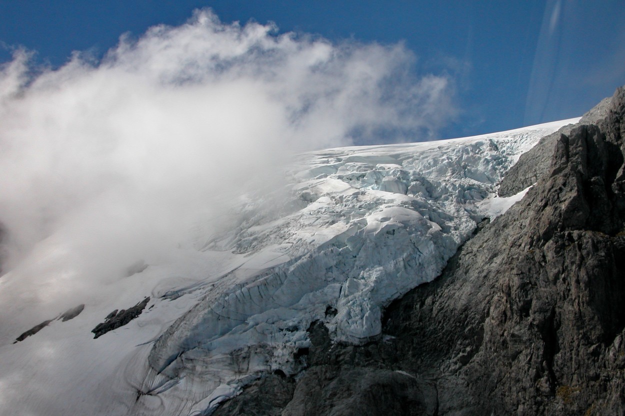
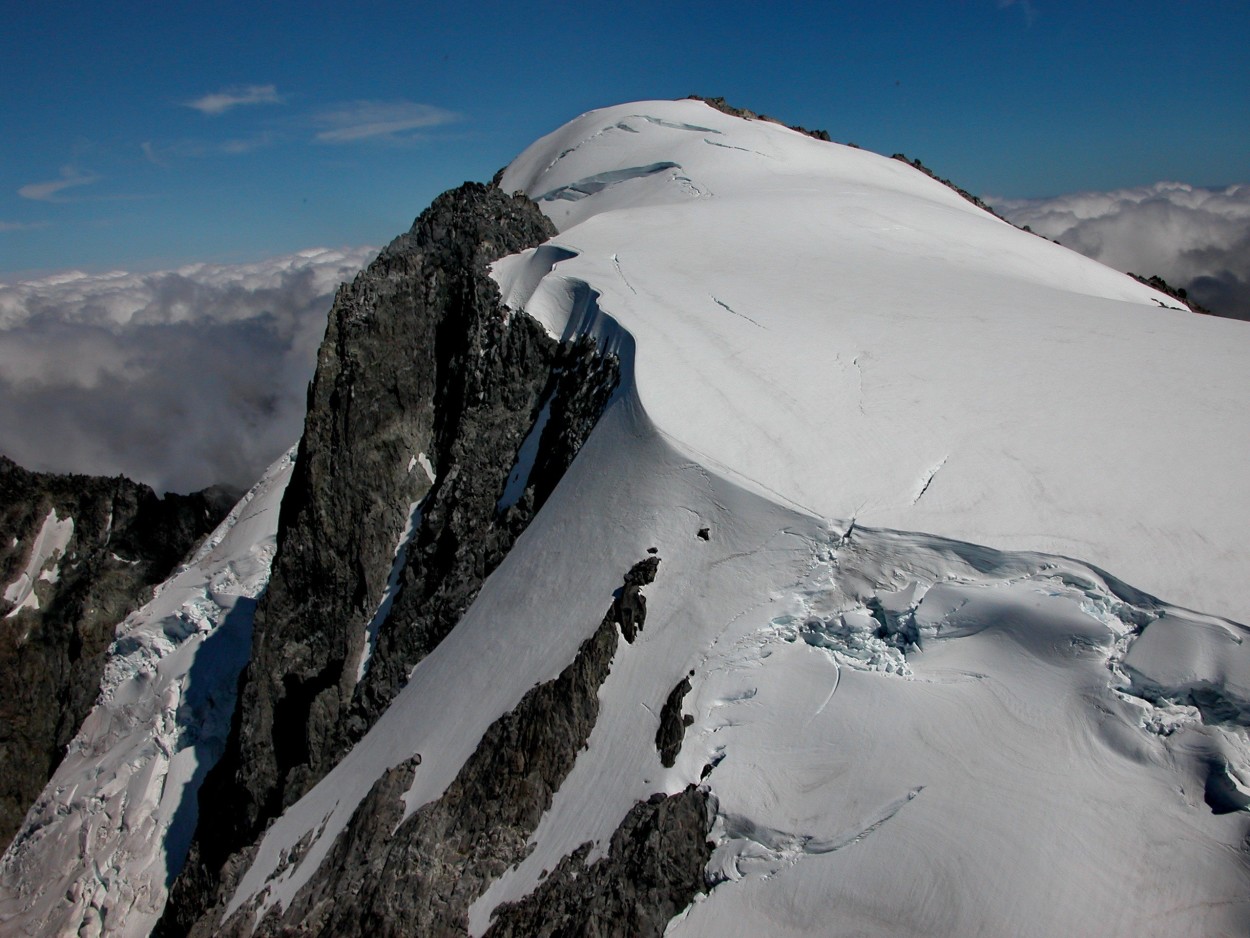
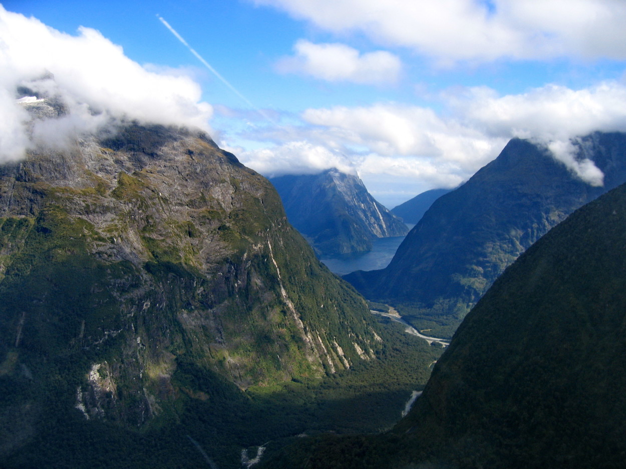
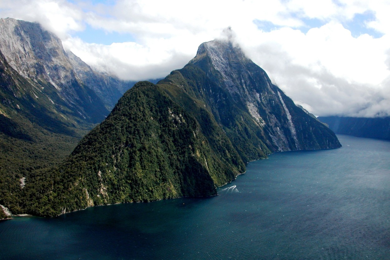
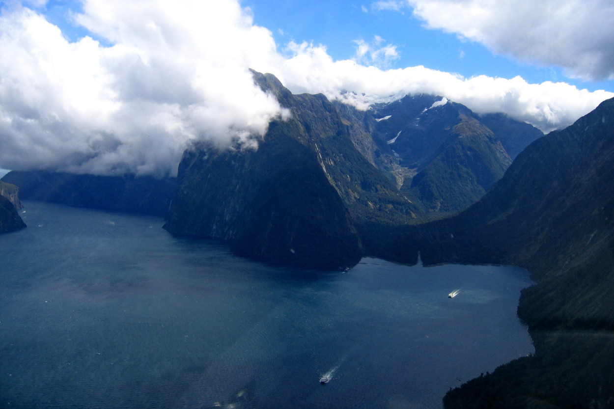
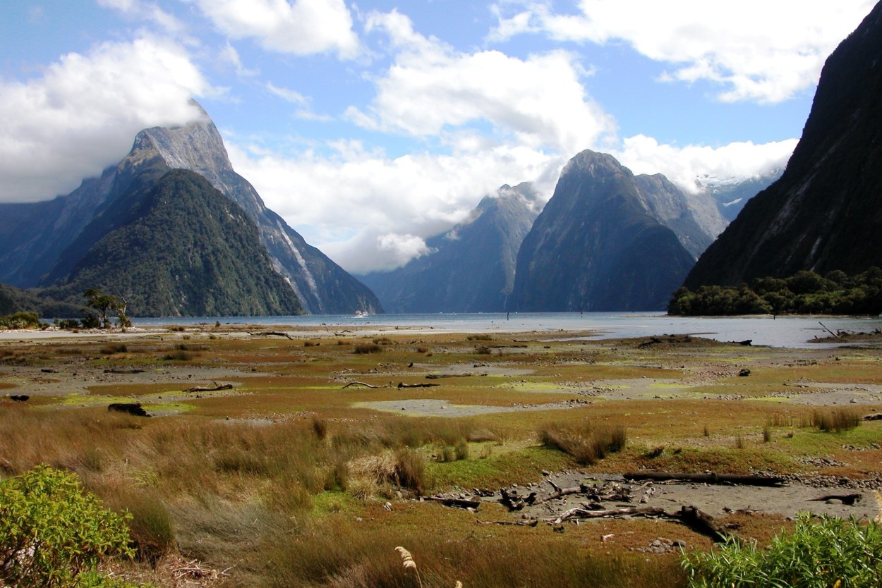
From Queenstown we fly by helicopter over the SOUTH ALPS mountain range and FOX GLACIER to MILFORD SOUND.
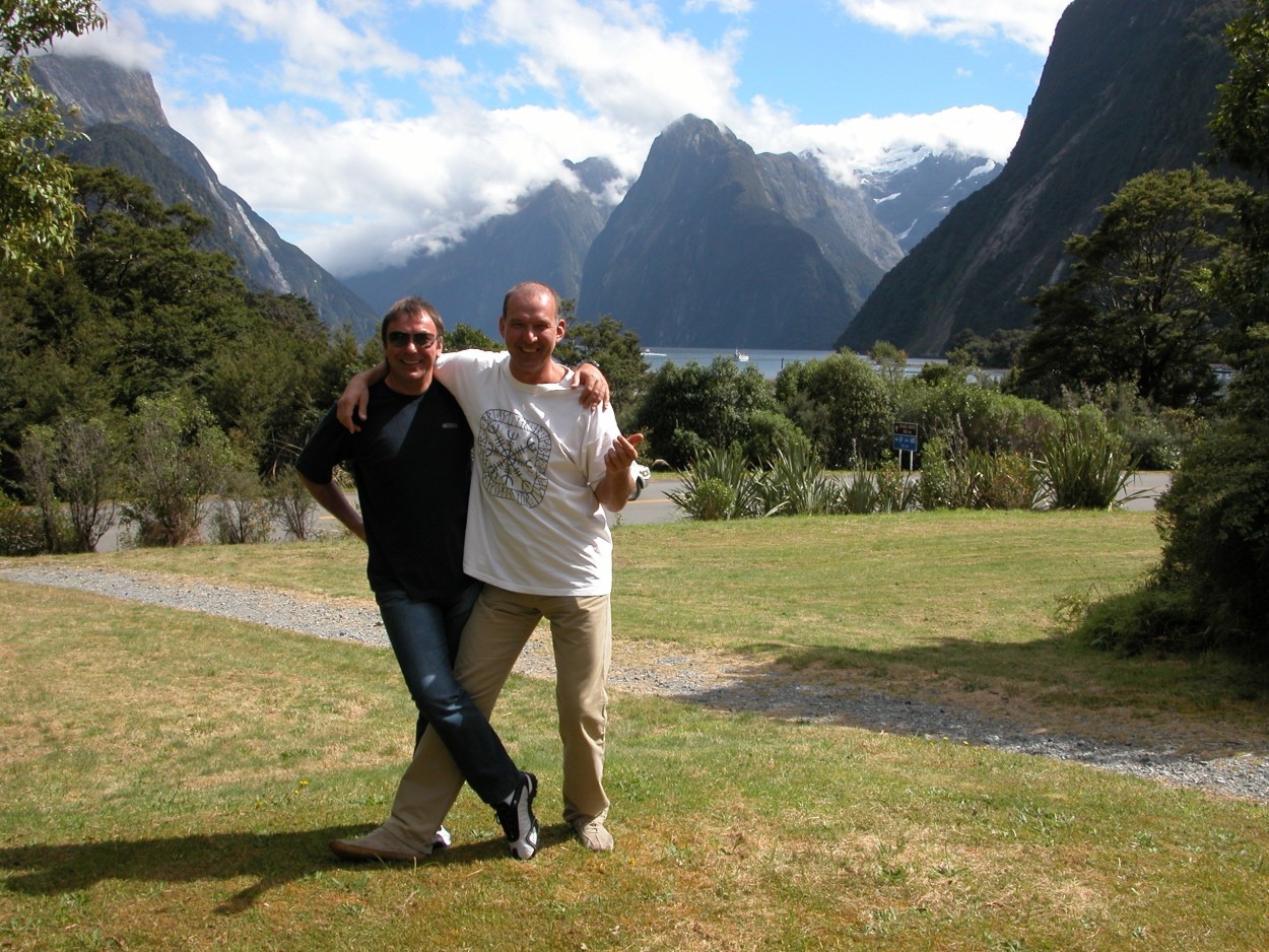
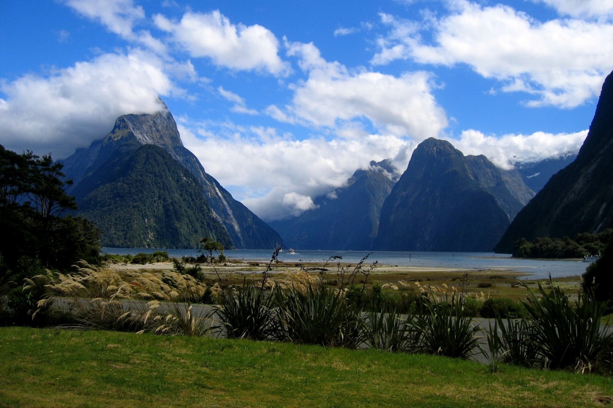
The Milford Sound Fjord was created by glaciation 20,000 years ago. Here are the highest coastal cliffs in the world, which rise directly from the water to a height of more than 1,500 meters and sink under the water to a depth of four hundred meters. The fjord is guarded by the majestic giant MITRE mountain, 1695 meters high. By the way, the shooting of the Lord of the Rings movie was here.
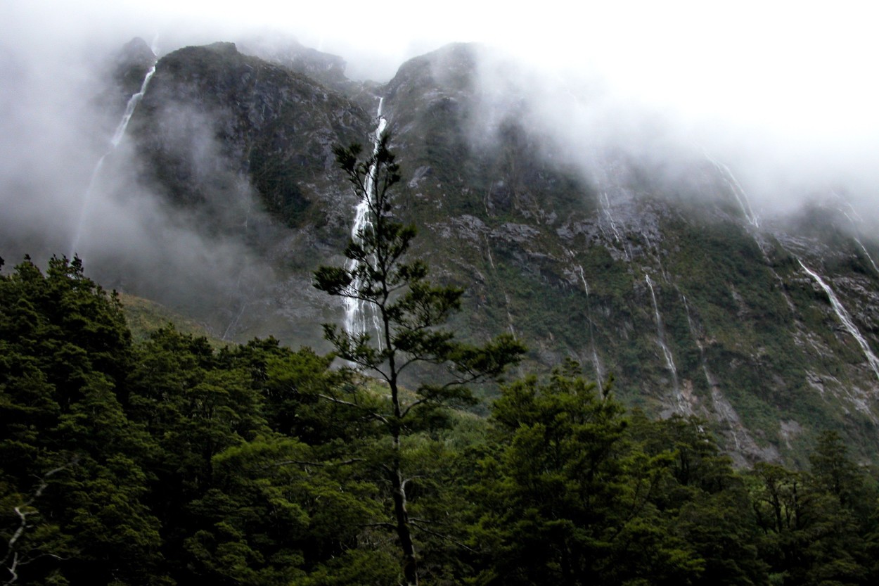
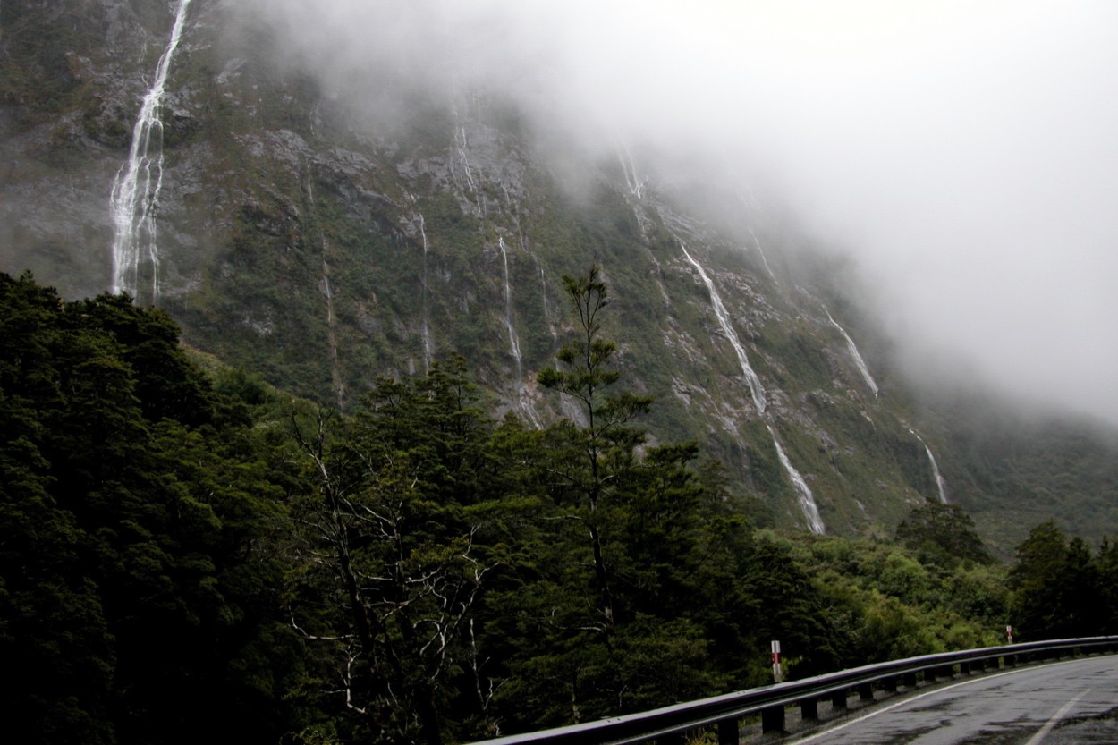
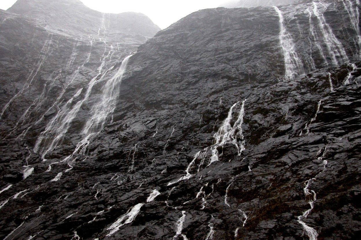
Milford Sound is one of the wettest places on the planet, with rain every two out of three days of the year.
We could feel it on the second day of our stay. It feels like a global flood is coming. The riot of the elements leads to the fact that water streams flow down from all the rocks around us, turning into one huge waterfall…
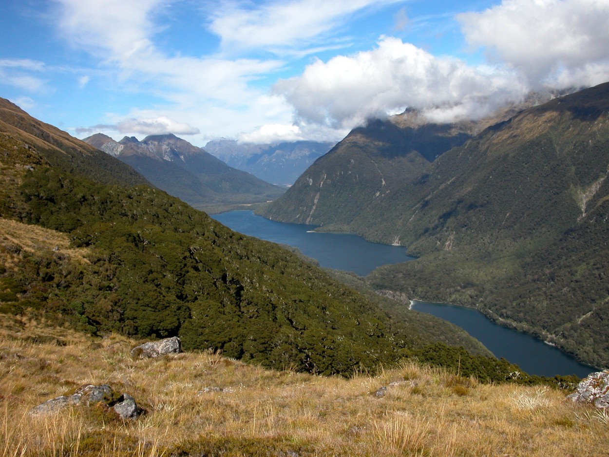
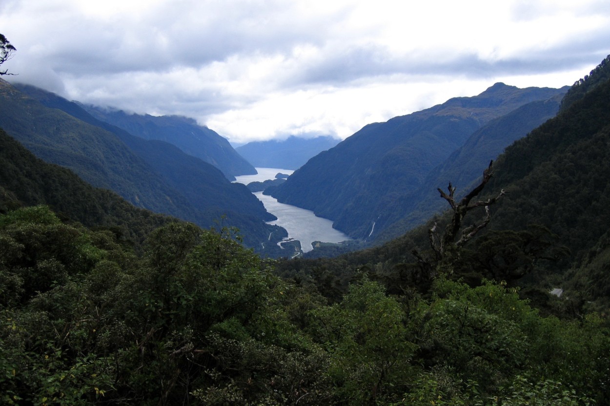
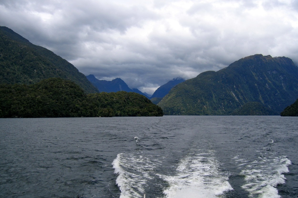
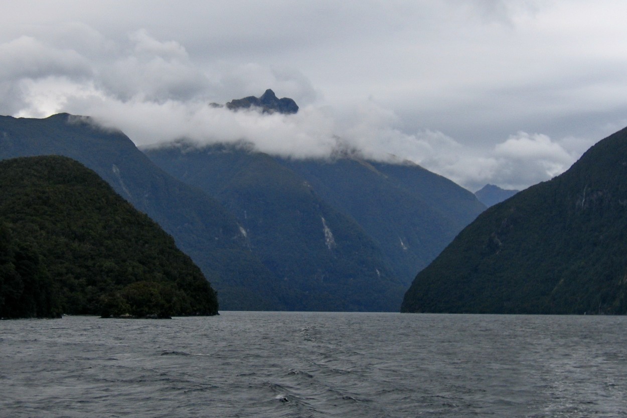
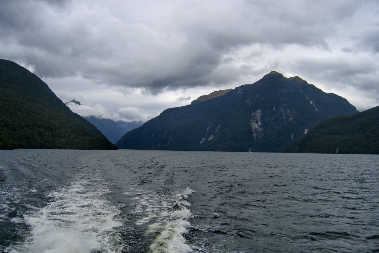
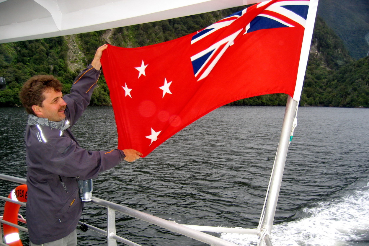
Further on a high-speed catamaran along TE ANAO lake we move to the Dautful Sound fjord.
Doubtful Sound is deleted, wild and fabulously unreal.
The existence of the fjord has been known since the end of the 18th century. During his 1770 expedition, Captain James Cook approached the fjord, but did not dare to enter it. He wasn’t sure if his ship could maneuver there. Hence the name Doubtful Sound – Doubtful Strait.
The depth of the fjord is about four hundred and thirty meters, the length before entering the open sea is 40 km.
Глубина фьорда около четырехсоттридцати метров, длина до впадения в открытое море составляет 40 км. Сегодня это место притягивает к себе любителей дикой природы со всего света.
Today, this place attracts wildlife lovers from all over the world.
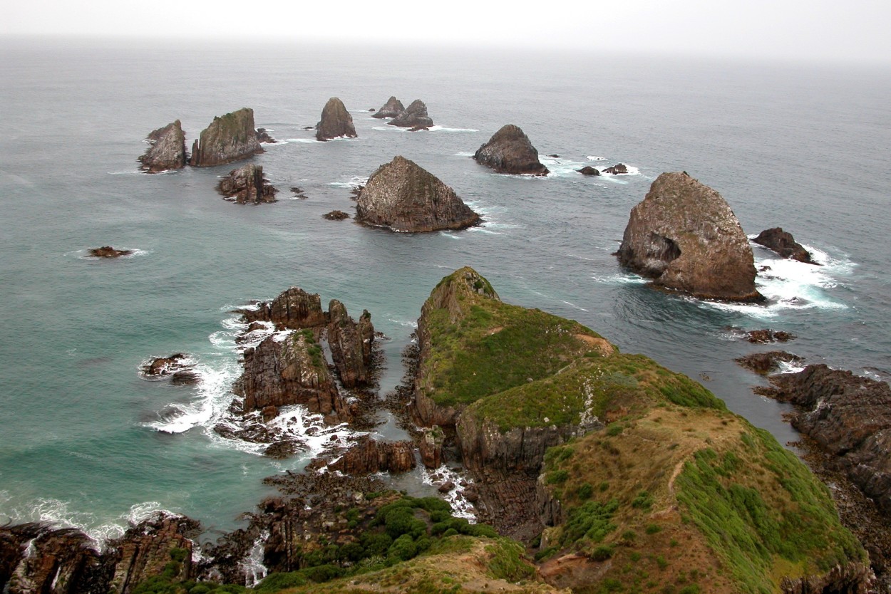
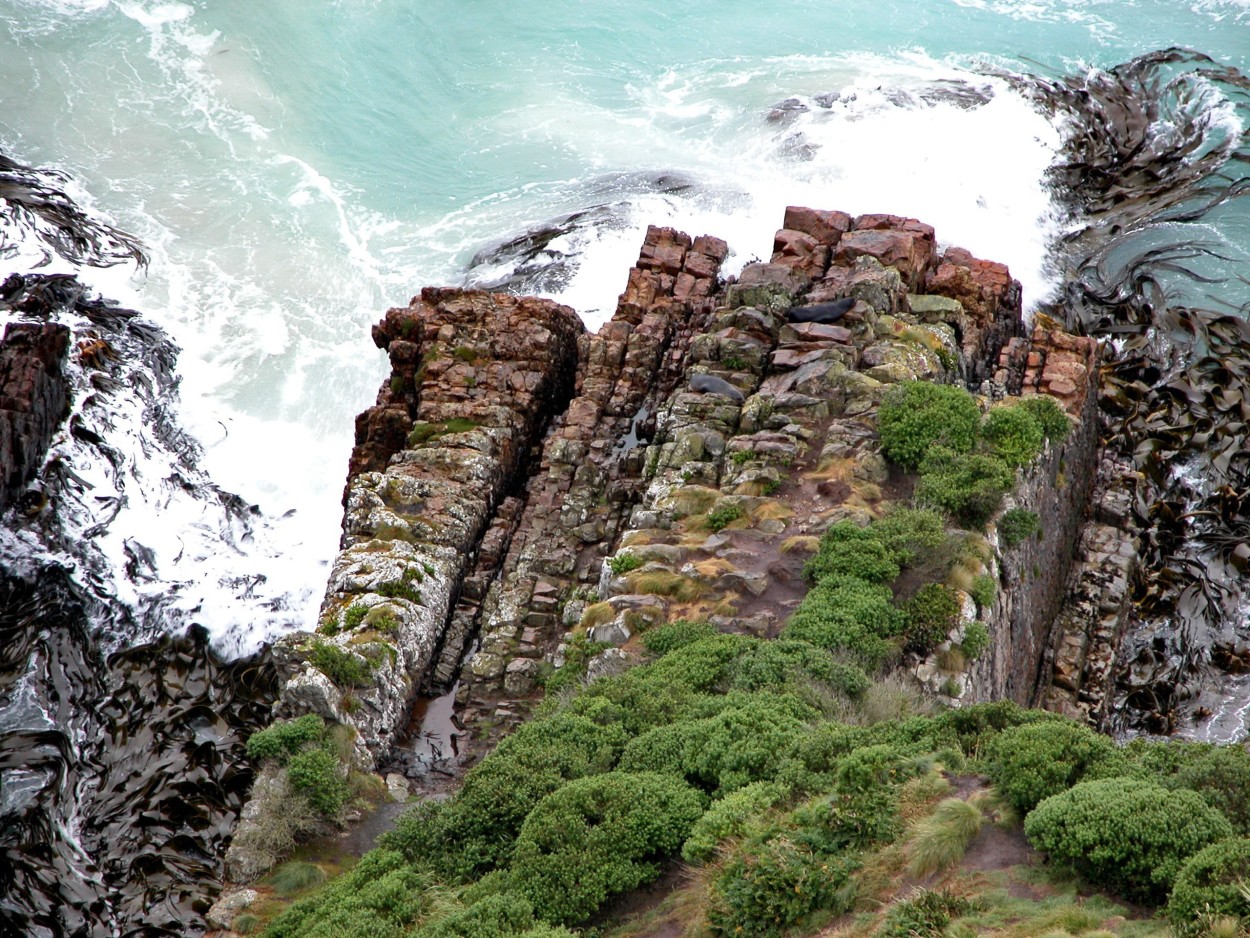
South of the Doubtful Sound Fjord, not far from the city of Dunedin, is the amazingly beautiful Nugget Point. The panorama of the cape is simply mesmerizing.
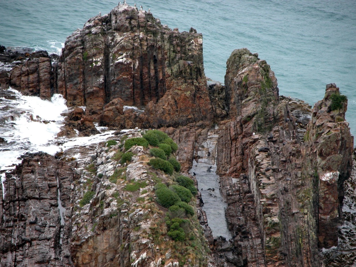
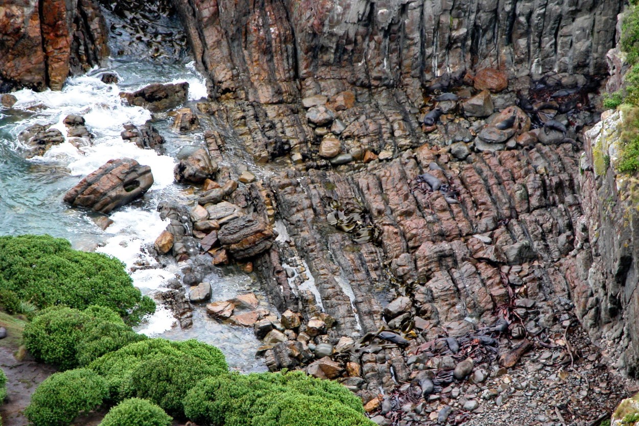
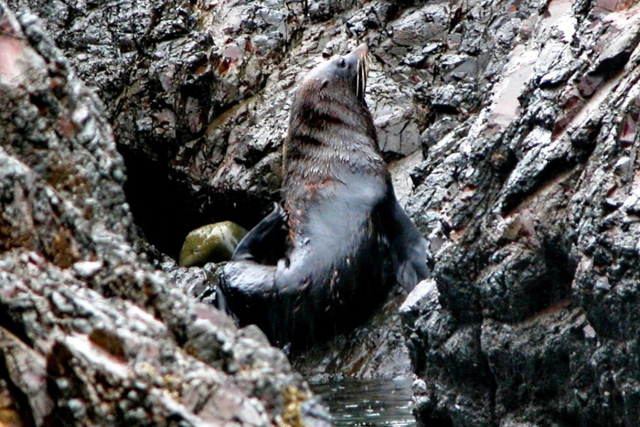
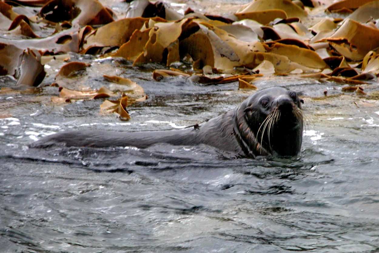
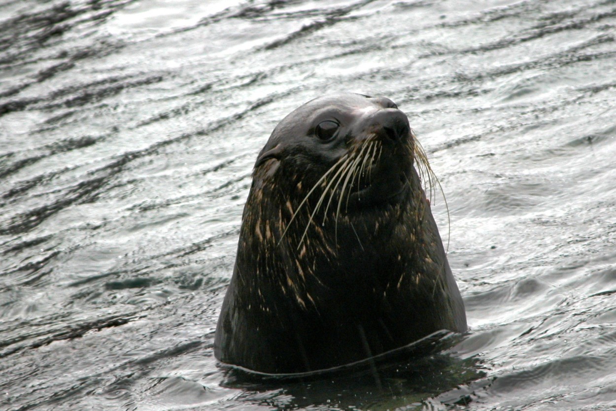
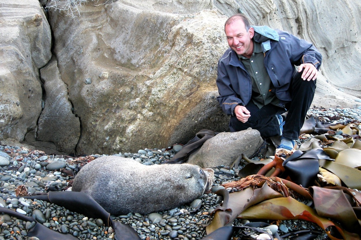
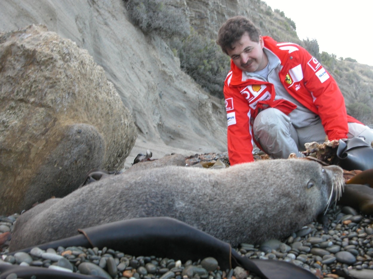
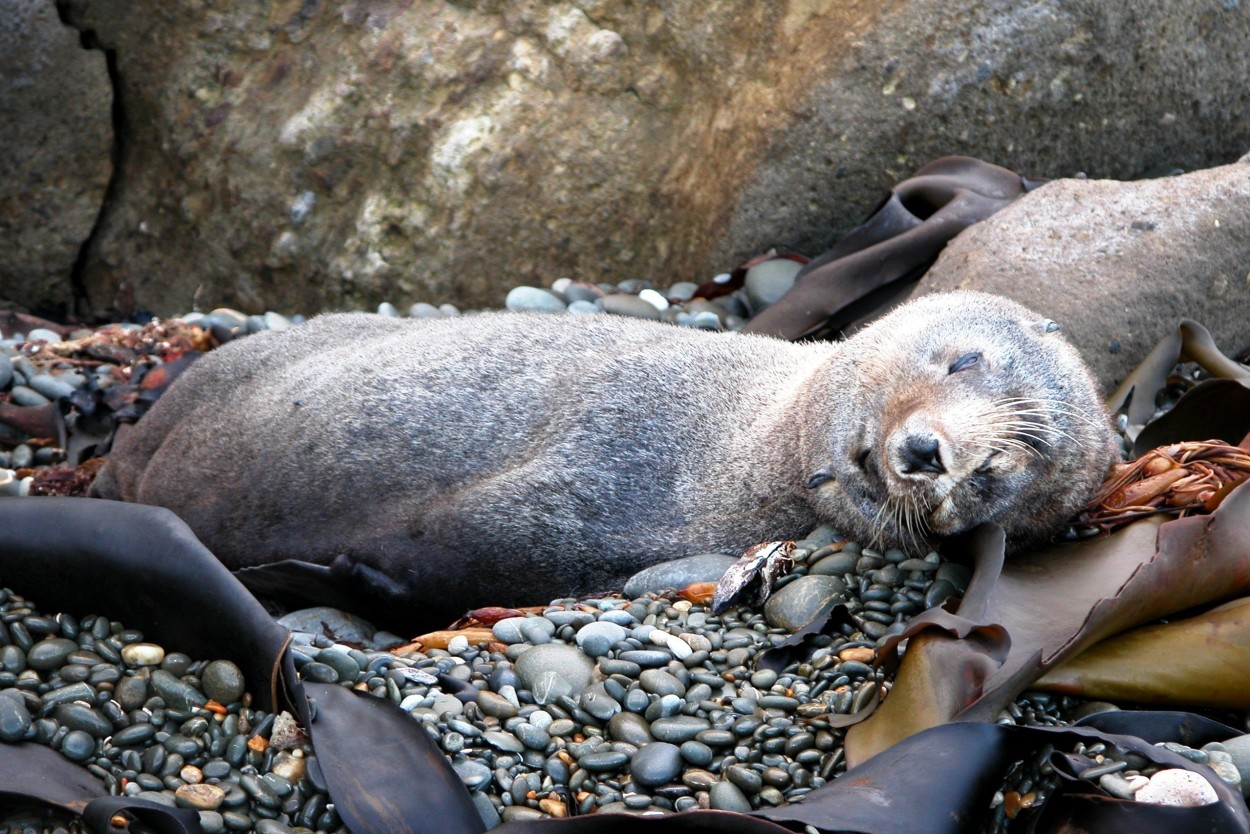
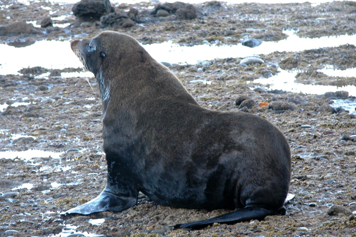
This is one of the rare places on Earth where large colonies of sea lions and fur seals coexist peacefully..
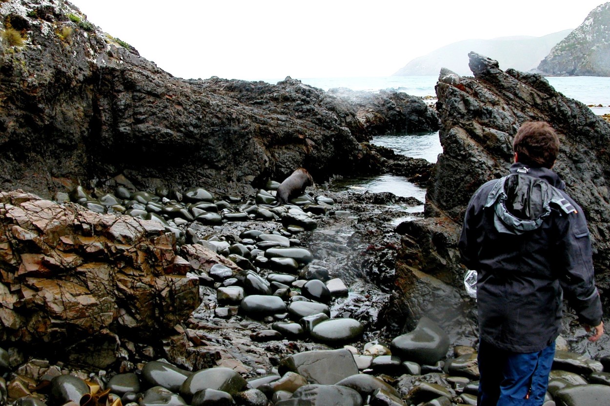
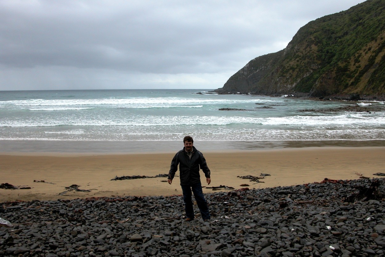
Although it is prohibited, we nevertheless decided to go down to the foot of the cape in order to get to know the local inhabitants better.…
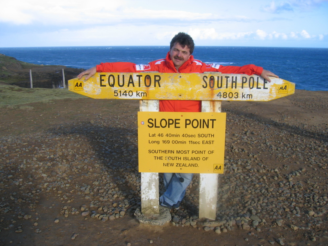
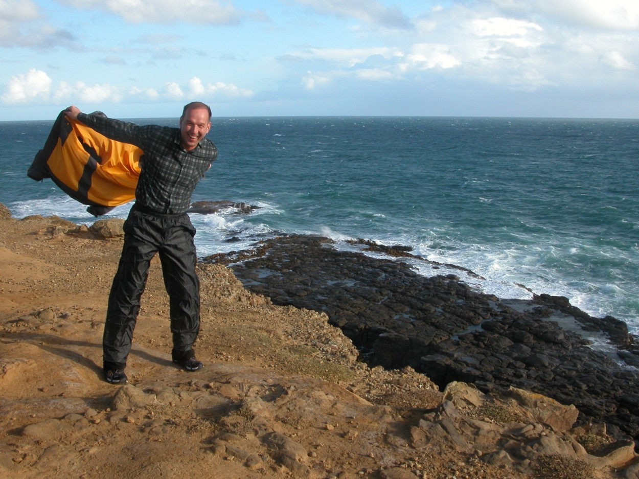
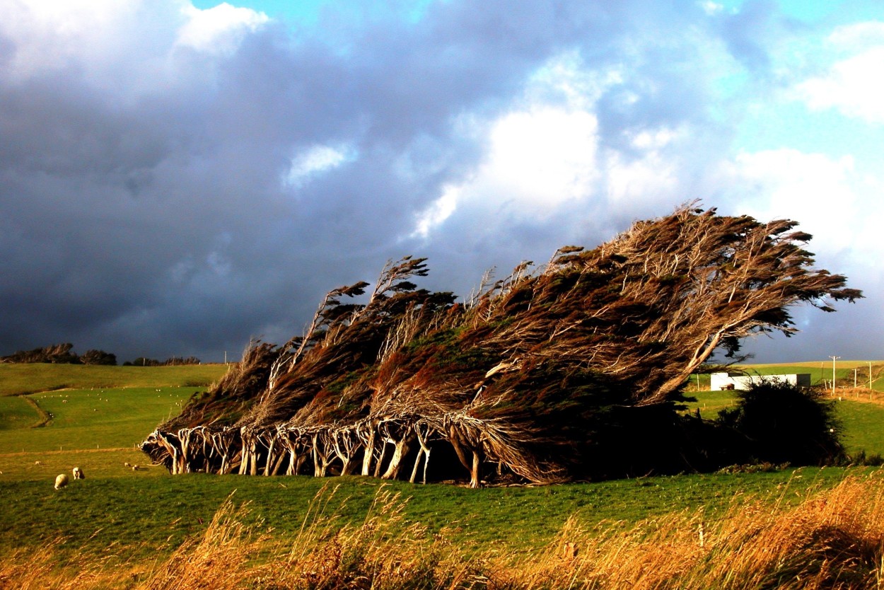
And here we are at the southernmost point of New Zealand, Slop Point. From here to Antarctica is closer than to the Equator.
I can’t even believe that only Antarctica is further…
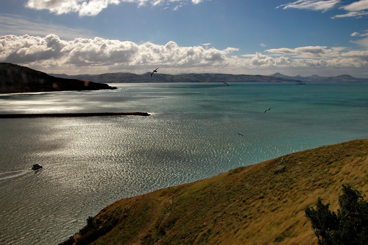
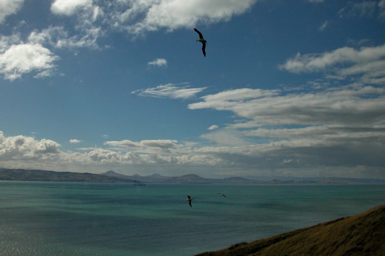
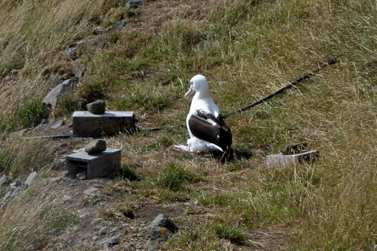
We arrived at the Otago Peninsula, located near the city of Dunedin. Here is the world’s only colony of royal albatrosses located on land inhabited by people. These majestic birds live up to sixty years.
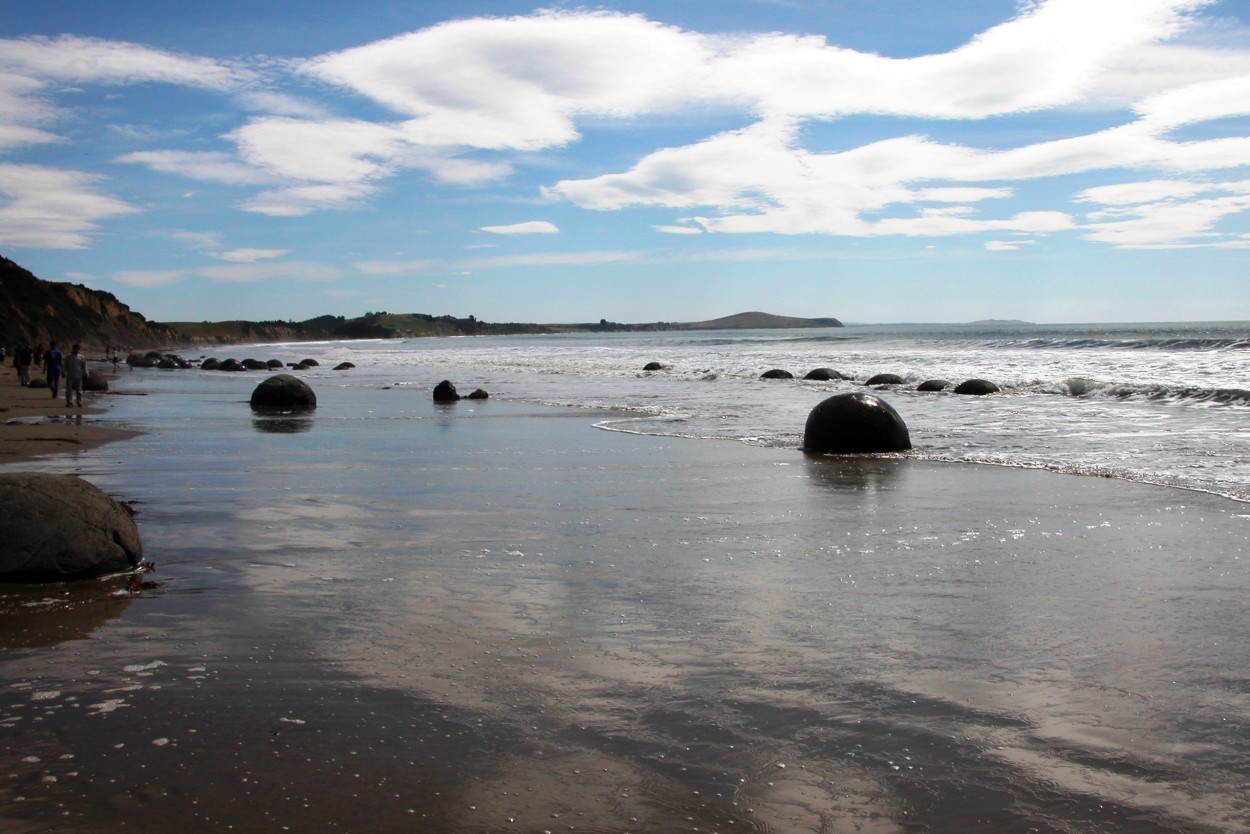
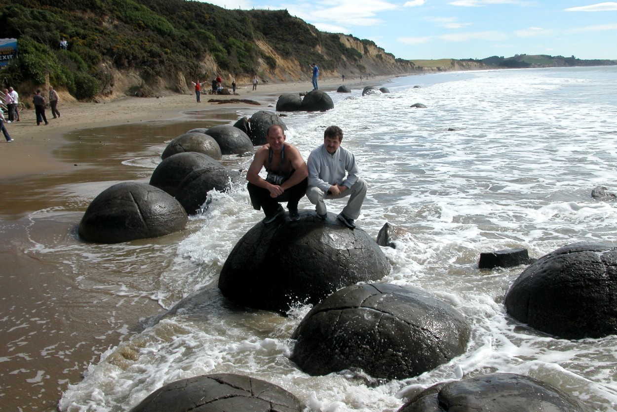
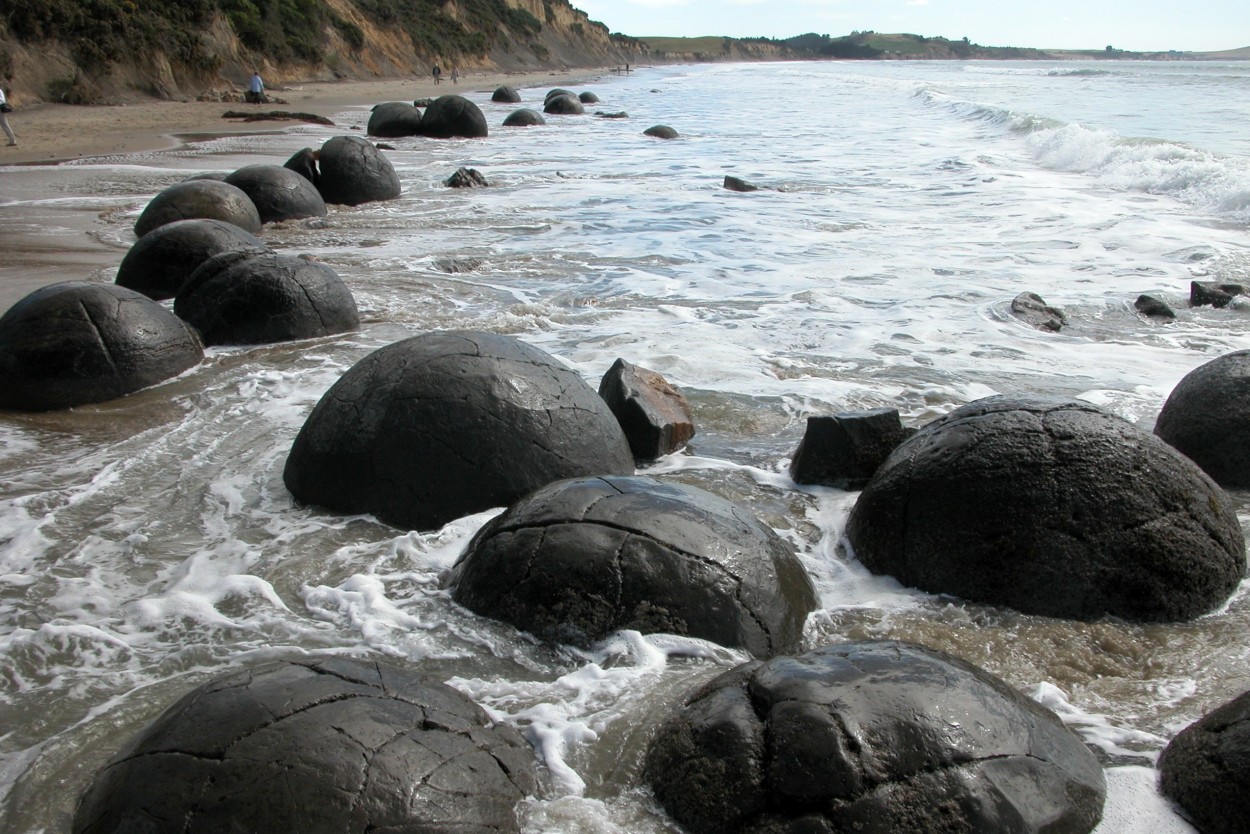
On the Otago coast along the Koekohe beach, huge spherical stones – Moeraki – were found scattered. They were originally formed at the bottom of the sea 60 million years ago.
Moeraki boulders weigh several tons and are up to three meters in diameter.
Maori legend says that the boulders are the remains of people who sailed in the legendary canoe and were wrecked at Matakaya.
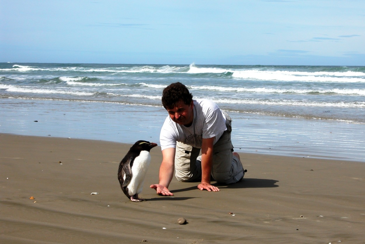
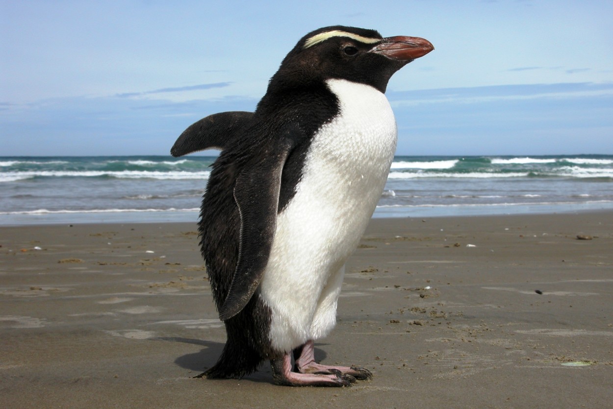
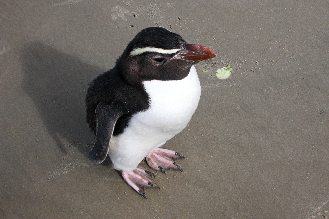
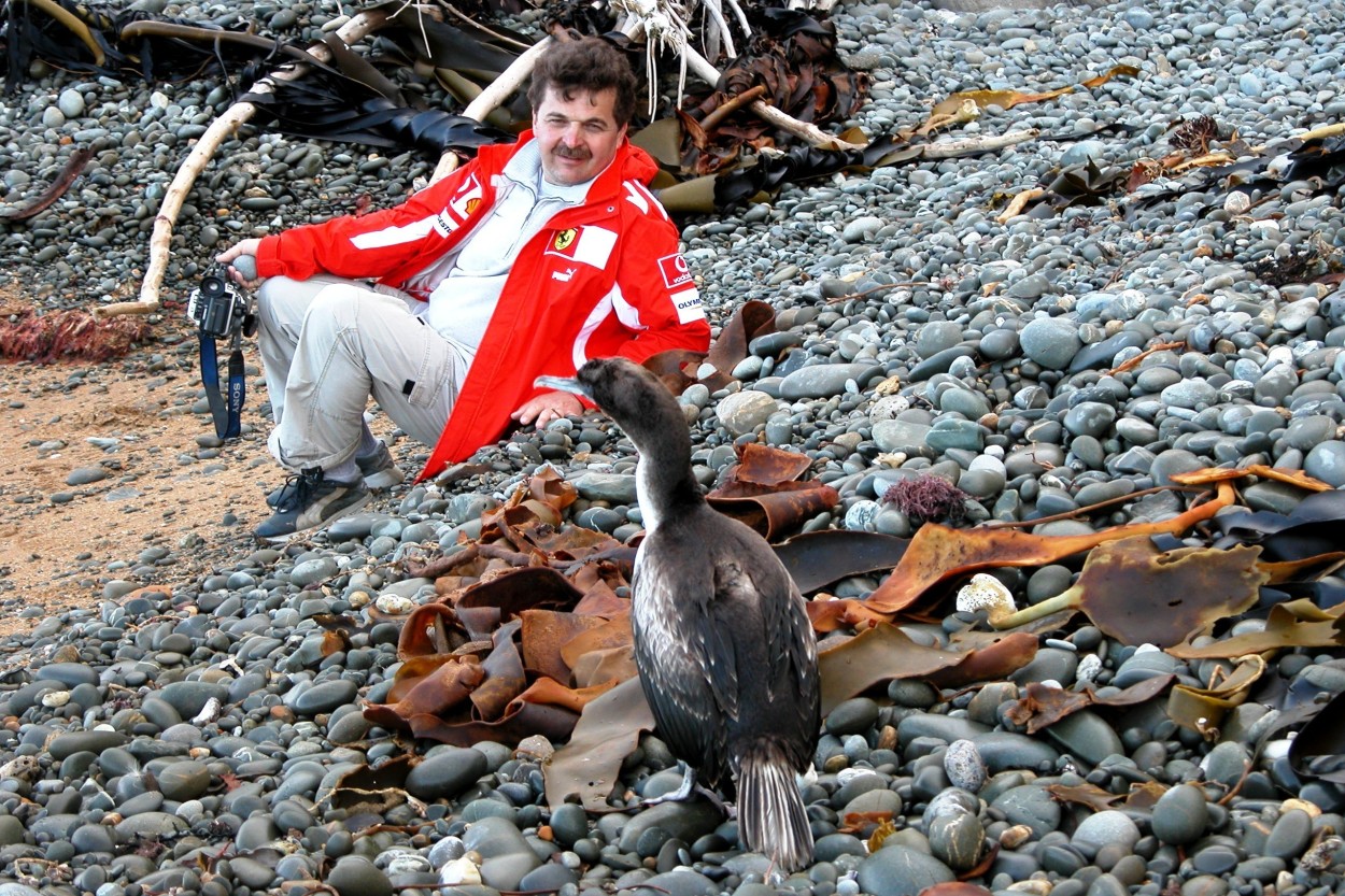
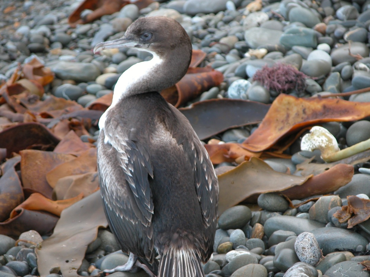
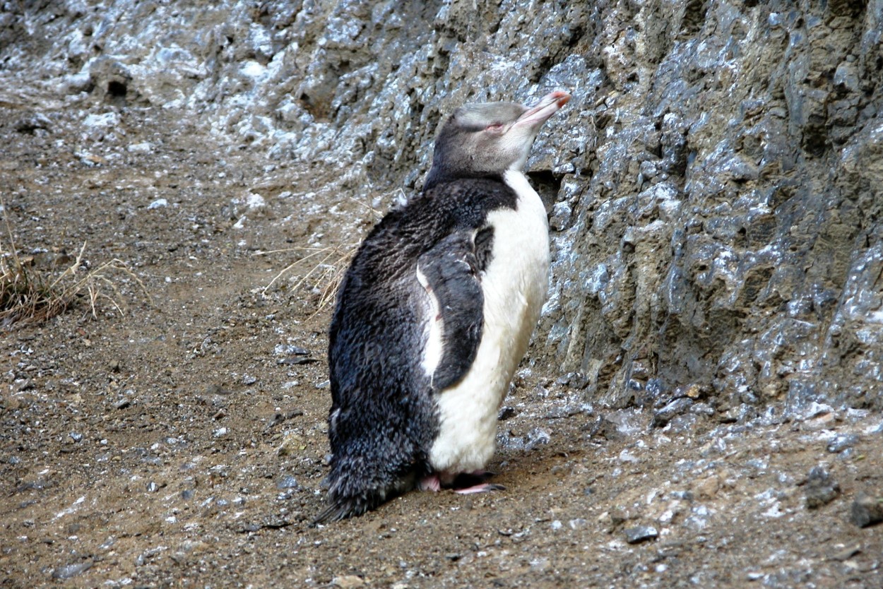
Not far from this place, we met a lonely penguin walking peacefully along the beach and decided to keep him company. Although he was not thrilled with our presence, we still managed to capture some interesting angles..
And of course, we could not resist the temptation to swim in the waters of the Pacific Ocean.…
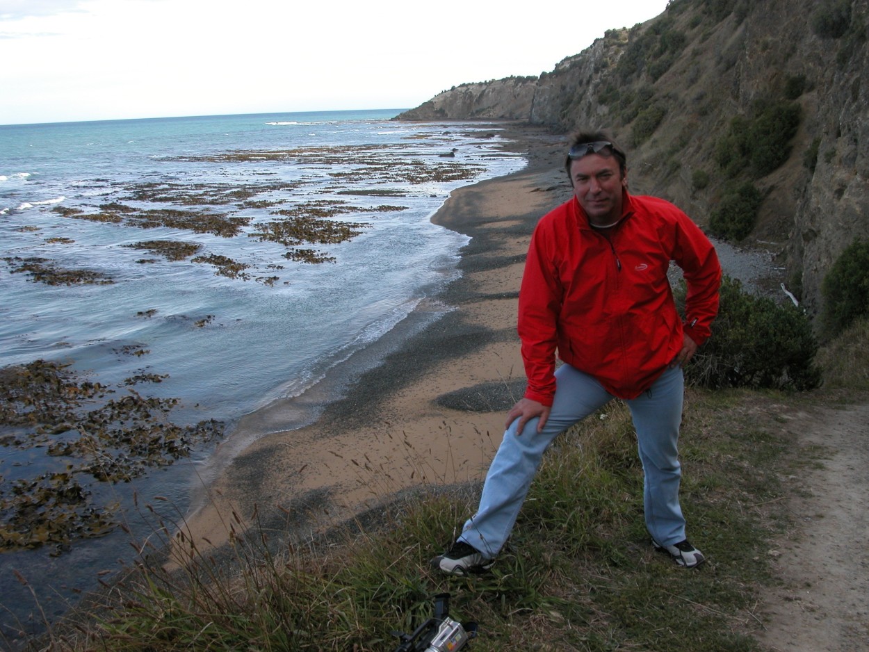
Our trip has come to an end. Not far from the city of Christchurch, before leaving, we decided to walk along the coast of the ocean and did not count on new interesting meetings.…
In conclusion, I would like to say that for me New Zealand will remain in my memory as Sannikov Land…



Comments
The post has no comments at the moment.
Leave Comment