Photo report “Bolivia. Journey to the heart of the Andes”.
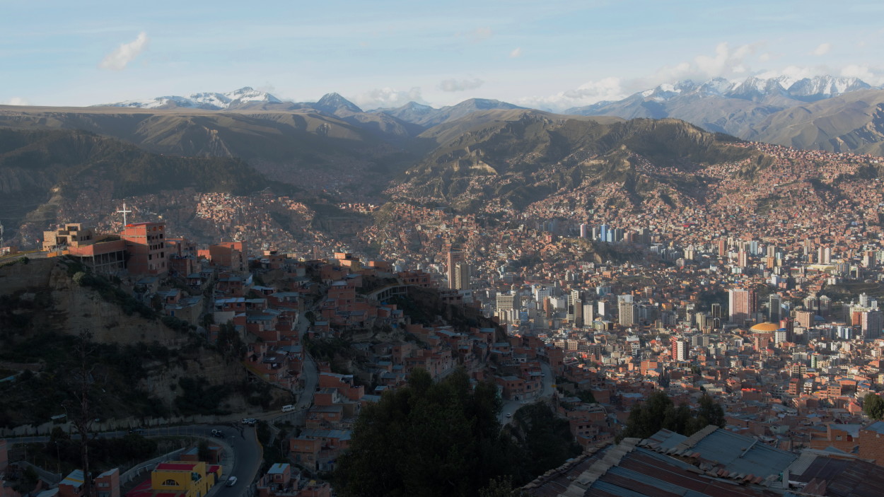
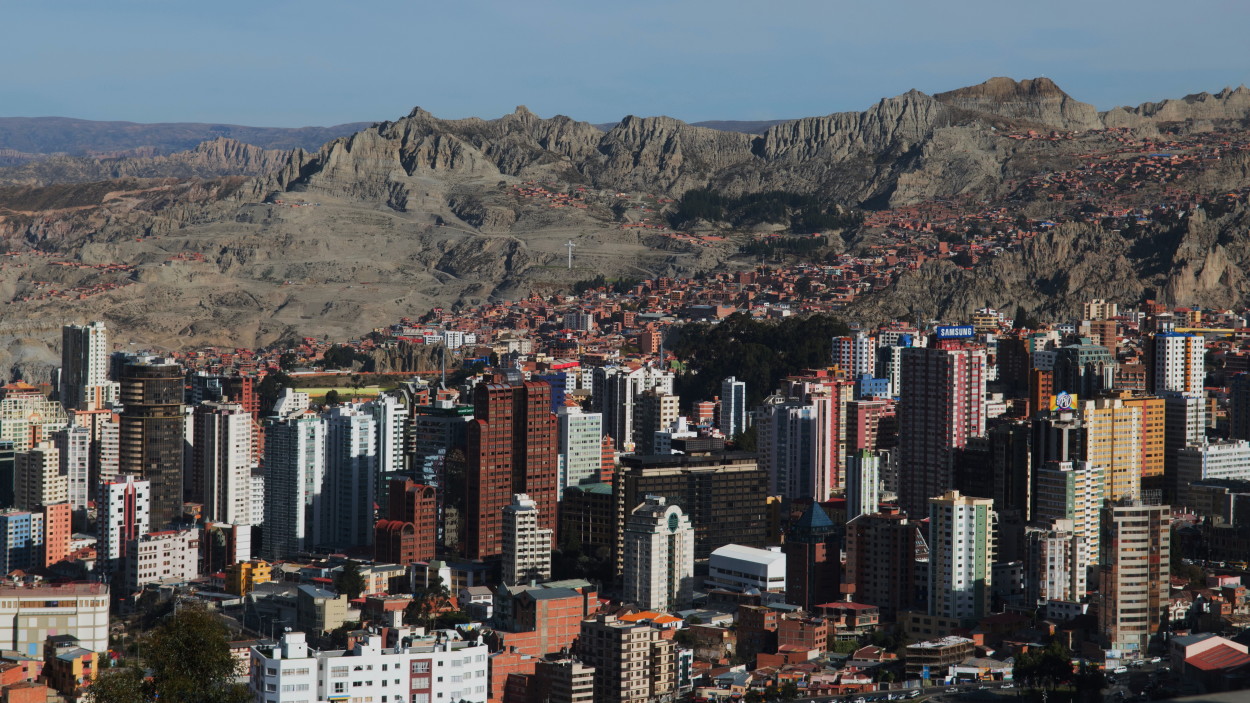
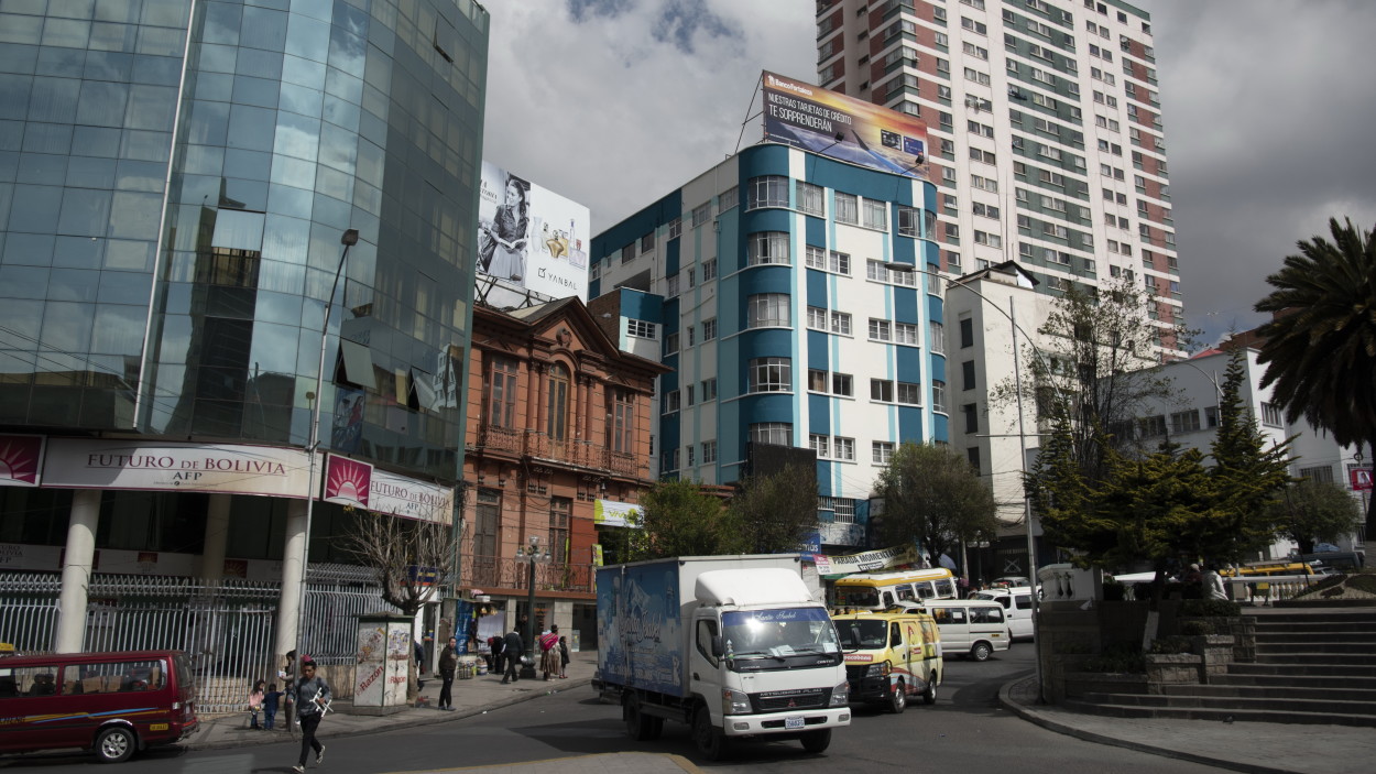
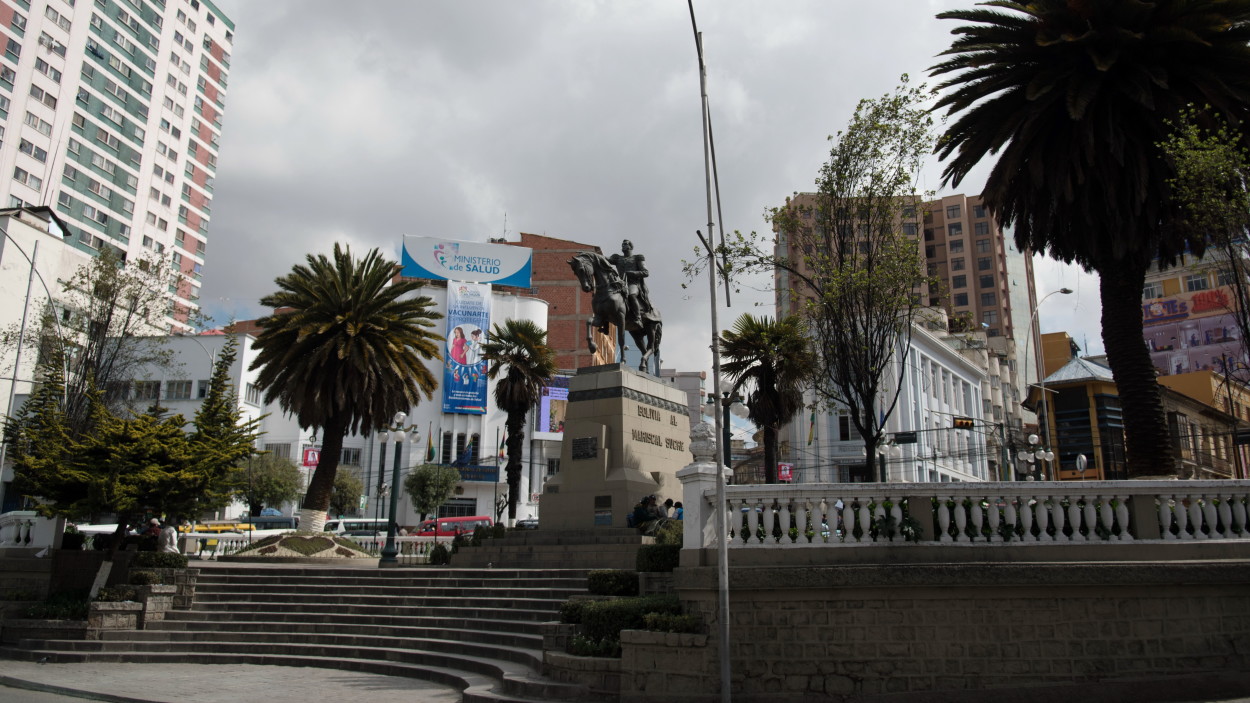
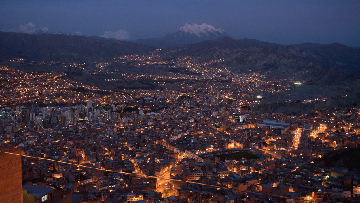
So, we arrived at the highest mountain capital in the world, the city of La Paz, which is located in the crater of a volcano that died out several million years ago at an altitude of 3600 meters above sea level.
The city was founded in 1548 by Alonso de Mendoza near the old Indian settlement of Chuchiago. In 1809, an uprising against the Spanish colonialists took place in the city, which became the prologue to the war of the Spanish colonies for independence.In 1825, Republican nationalists defeated the Spanish army near Ayacucho and Upper Peru became an independent state called Bolivia.
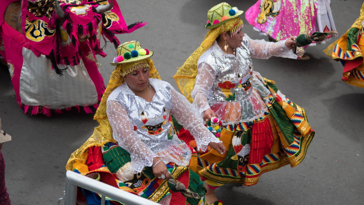
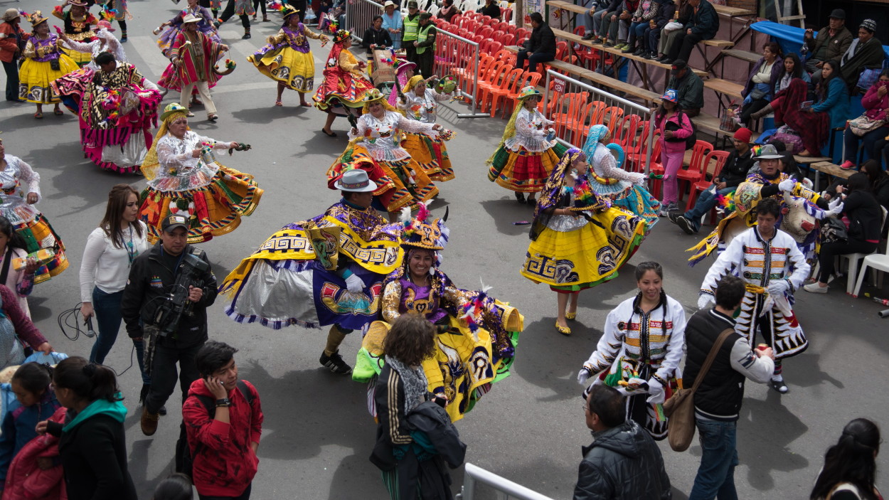
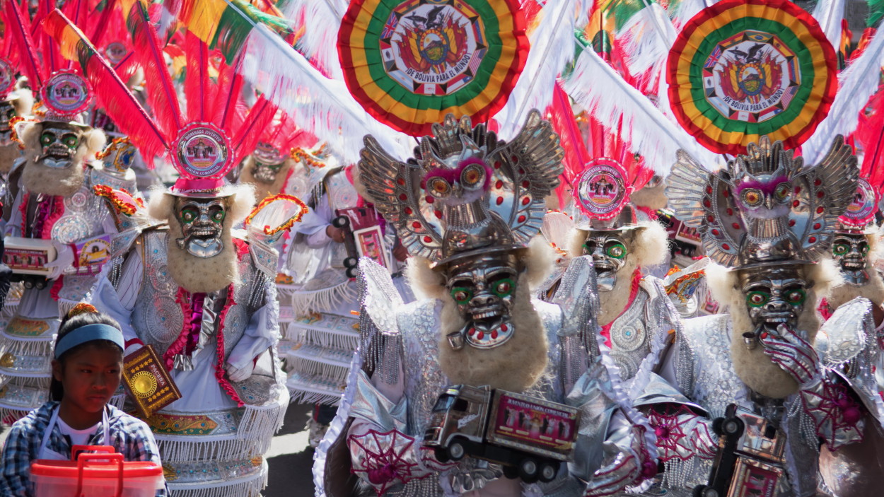
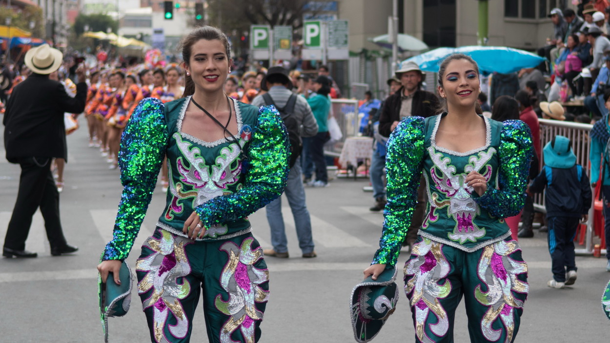
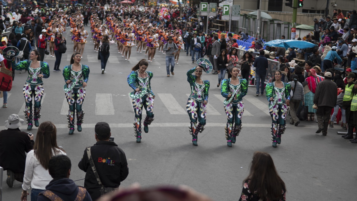
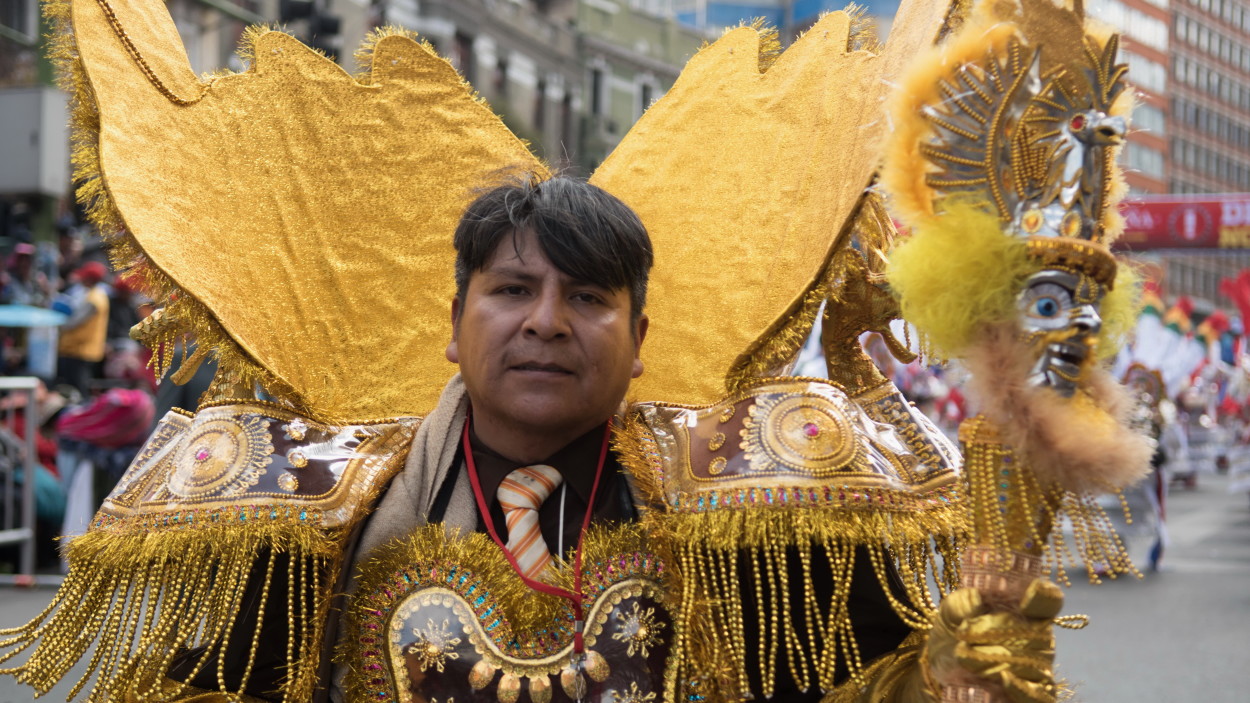
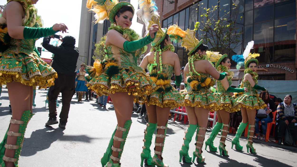
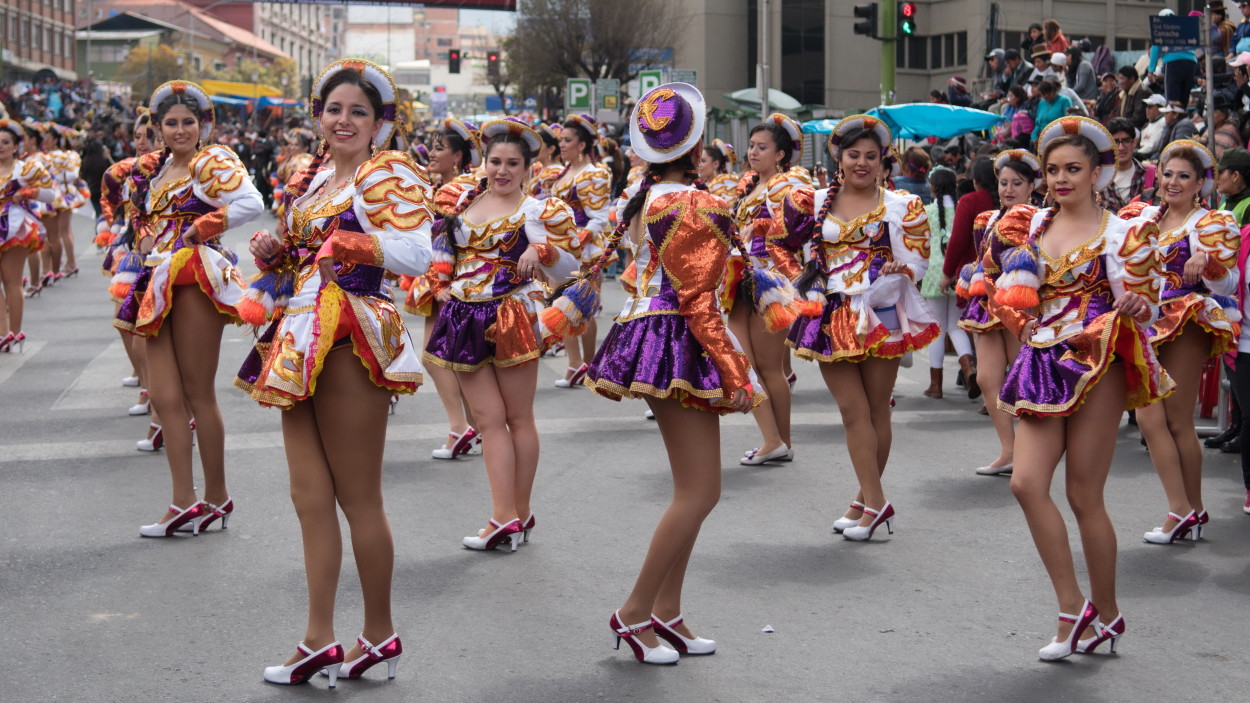
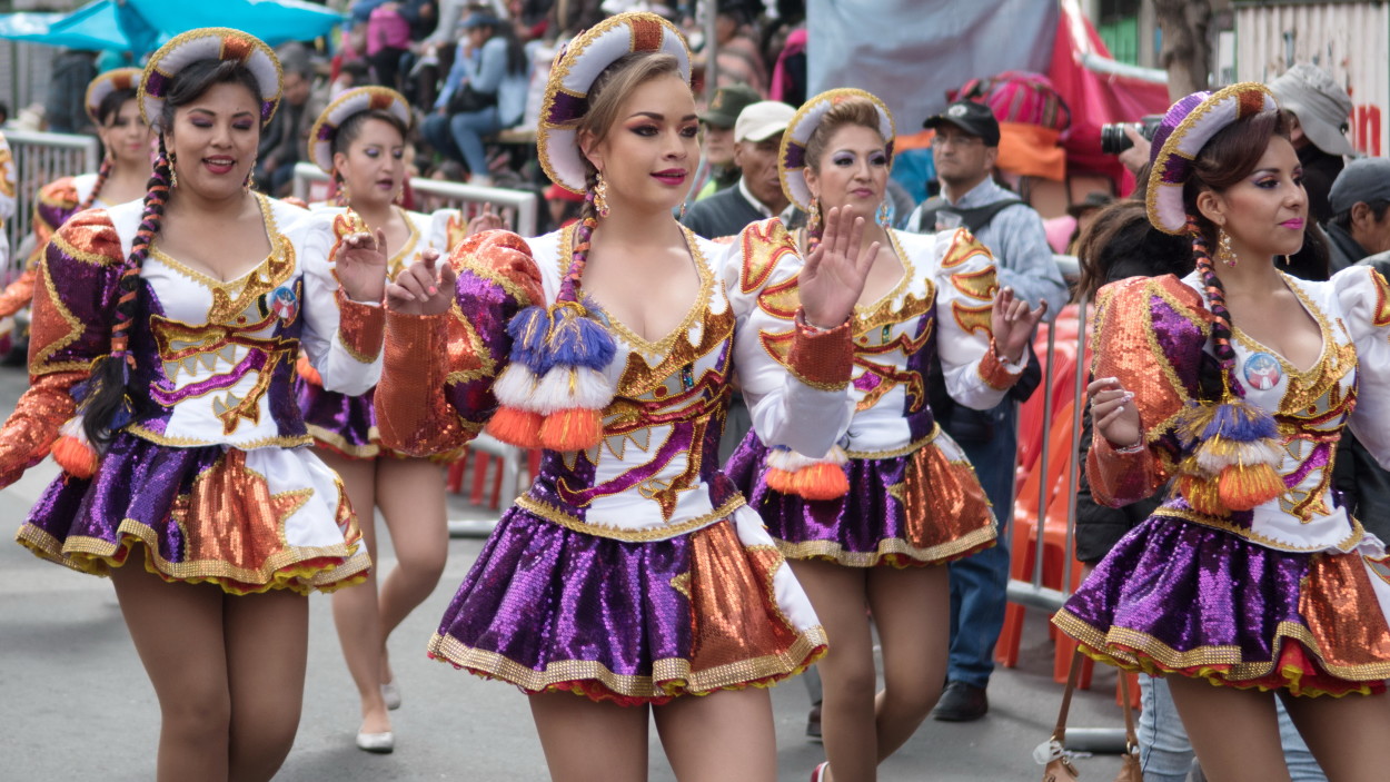
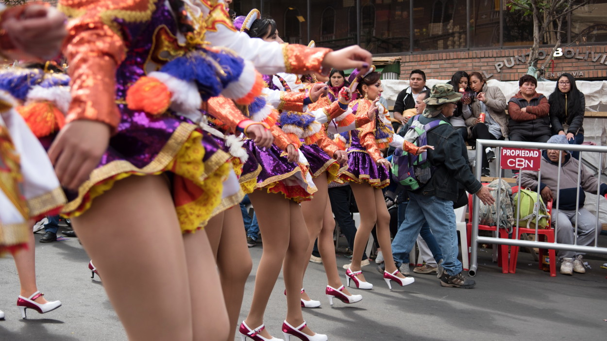
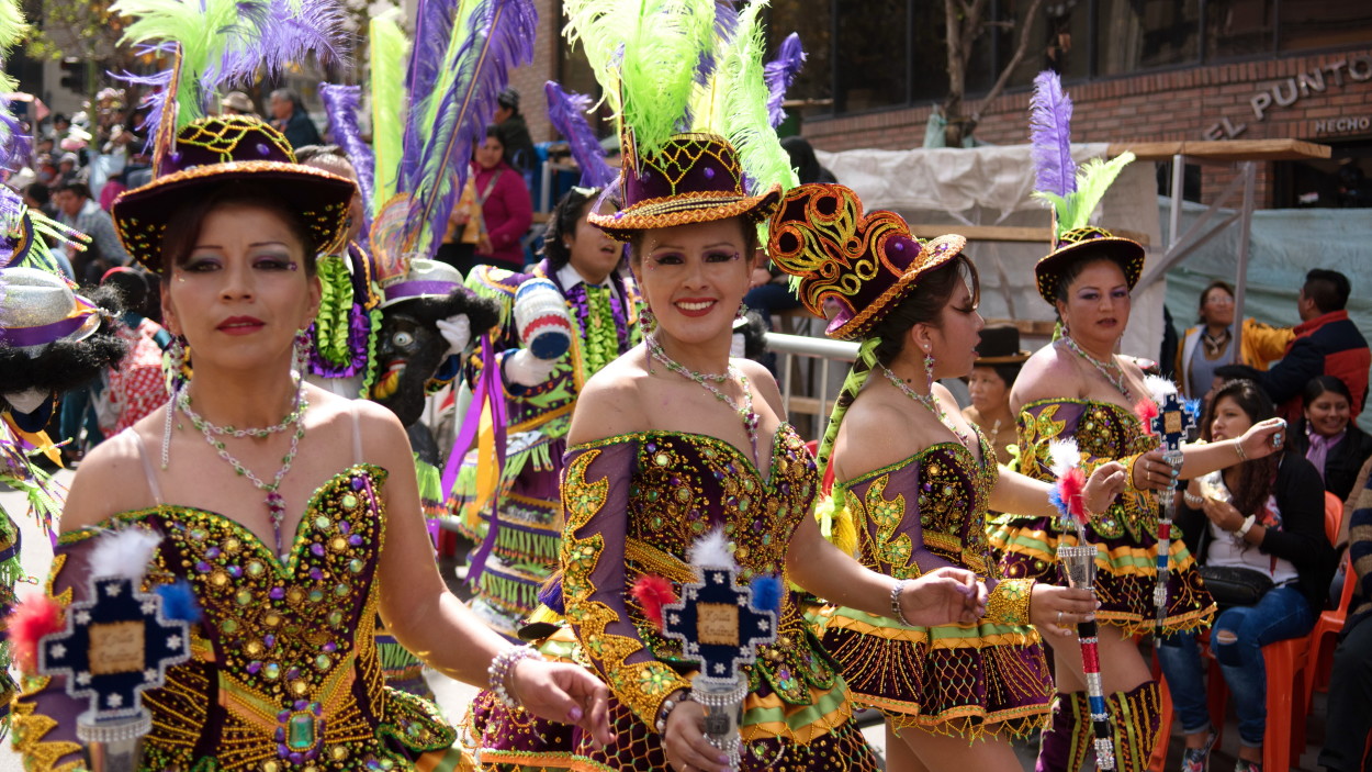
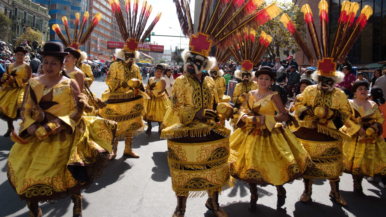
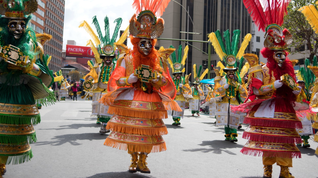
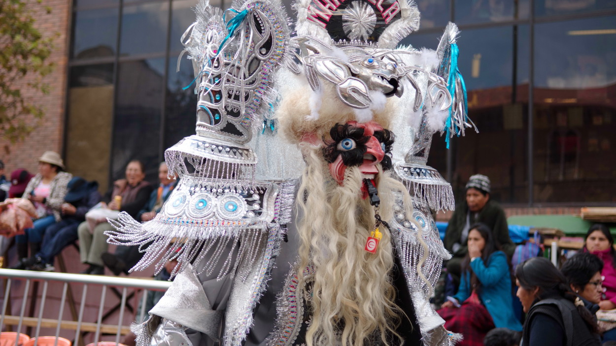
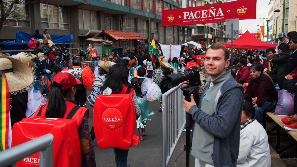
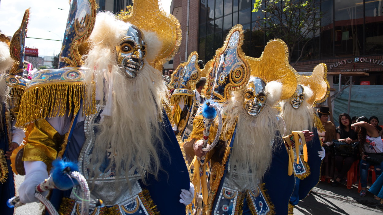
Today in La Paz there is a big holiday “Fiesta Gran Podere” and we go to the city center to take part in a colorful carnival in which thirty thousand dancers from all regions of Bolivia solemnly parade through the streets in costumes and masks of mythical creatures, and at the head of the street procession carry a statue of Jesus Christ, to whom this holiday is dedicated. It is the largest street festival in the country with dance and processions, which merges ancient Indian cults and the Catholic religion.
Fiesta Gran Poder includes many elements of folklore. Its participants dress up in the clothes of the Incas and conquistadors, and local beauties try to surprise with their dresses and dances, the most famous of which is Moderada, or as it is also called the dance of black slaves. The music and dance style combine the traditions of the indigenous peoples of the Bolivian Andes and the black population of Africa.
The colorful carnival helped us relax and escape from the problems with acclimatization. After all, we are at an altitude of almost four thousand meters above sea level!
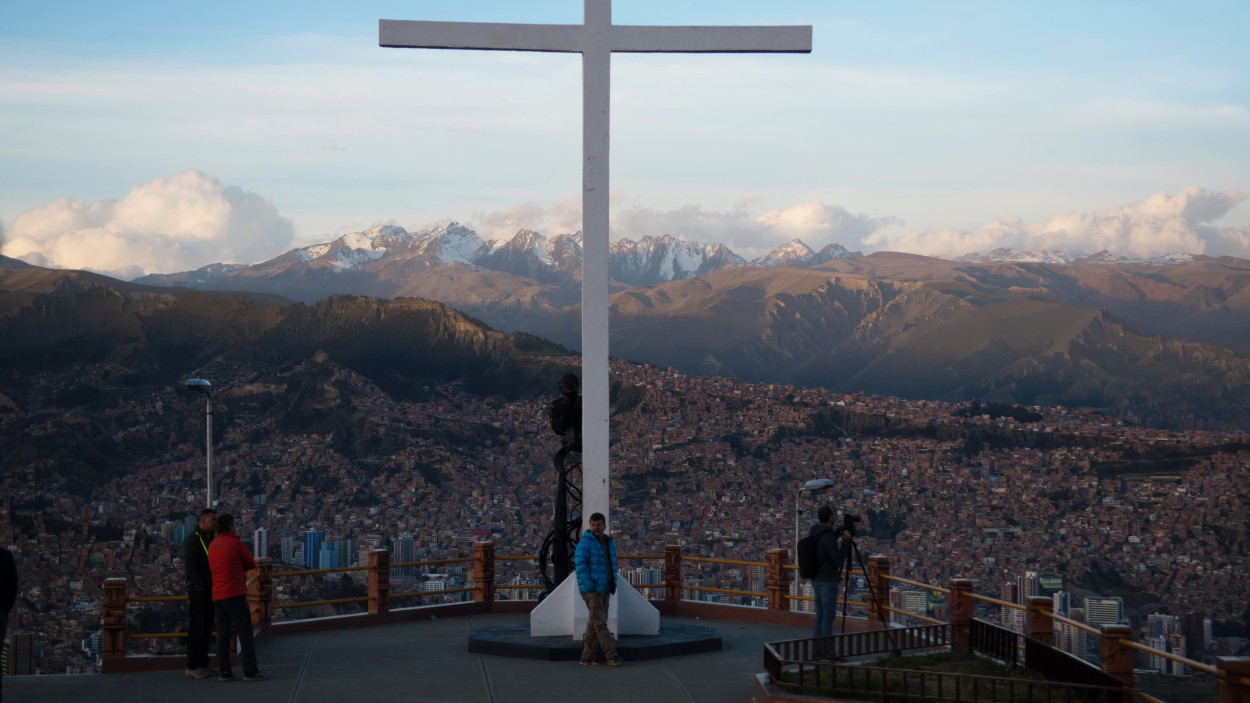
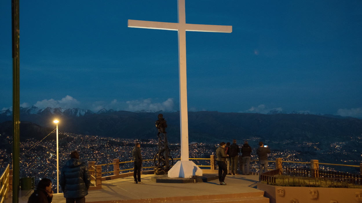
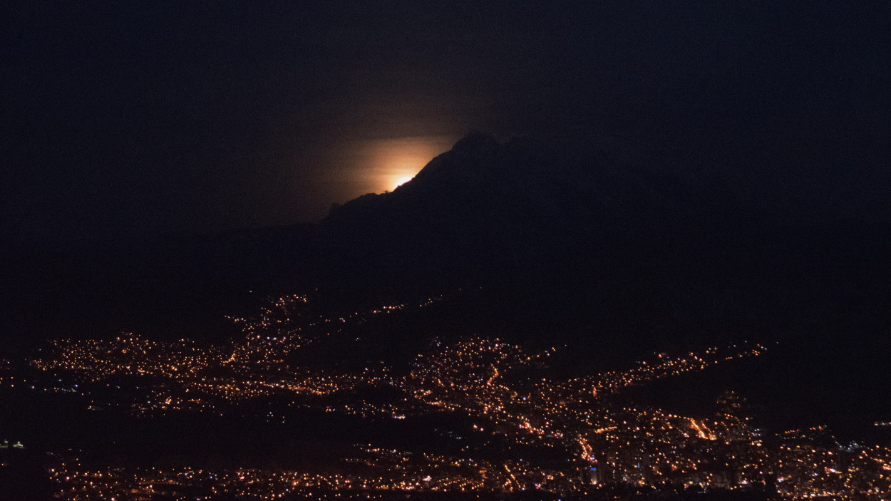
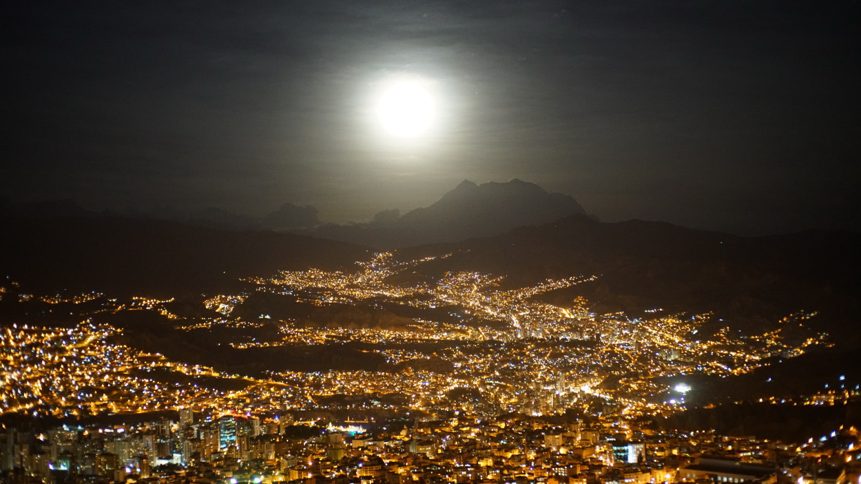
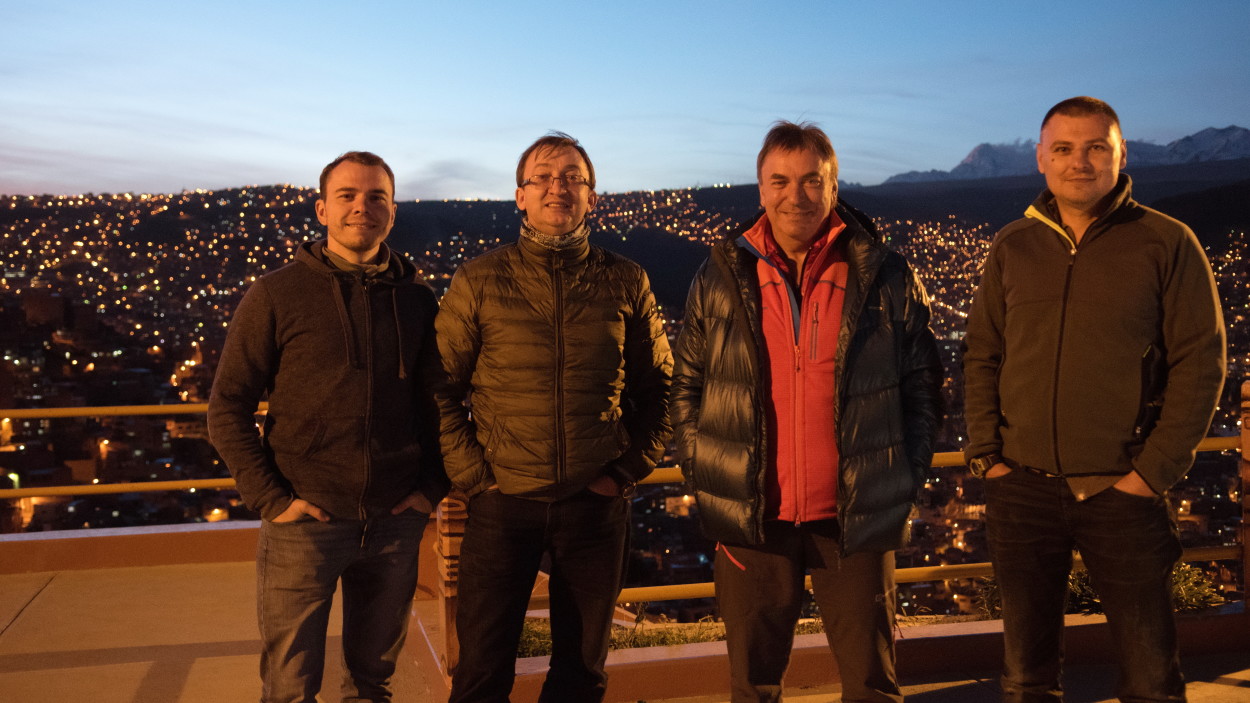
And at the end of our acquaintance with La Paz, we decided to climb to the observation deck towering over the capital to see the moonrise that appears from behind the majestic Ilimani mountain, and enjoy the beauty of the evening panorama of the city.
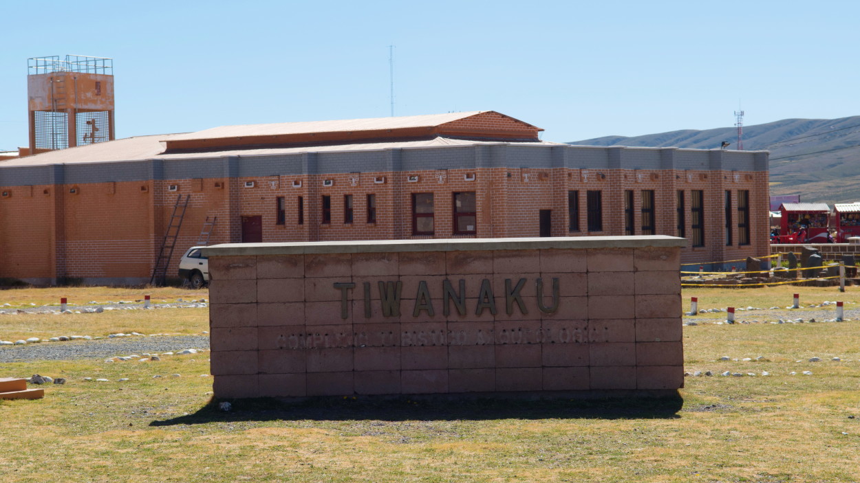
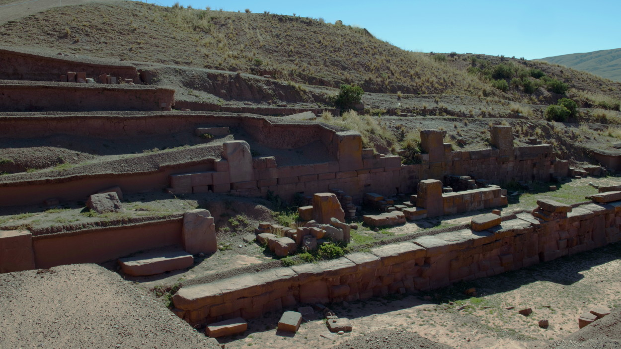
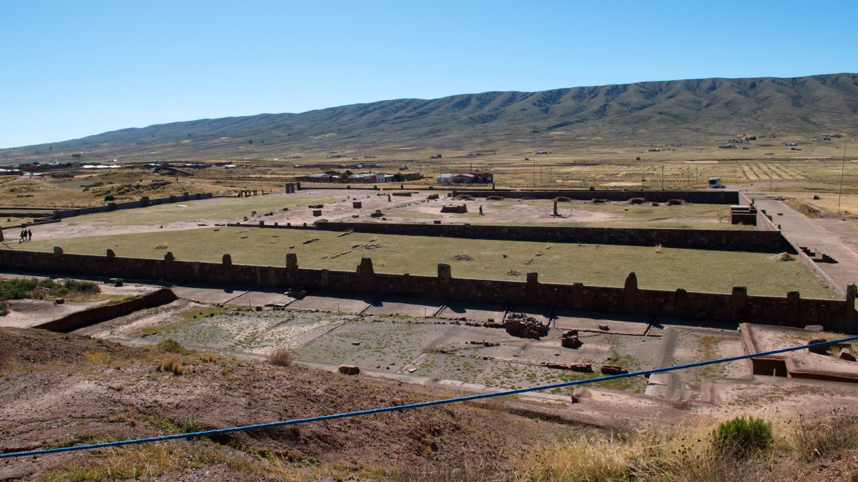
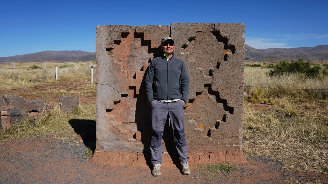
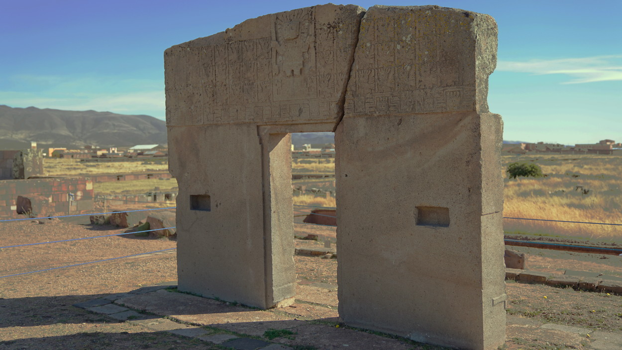
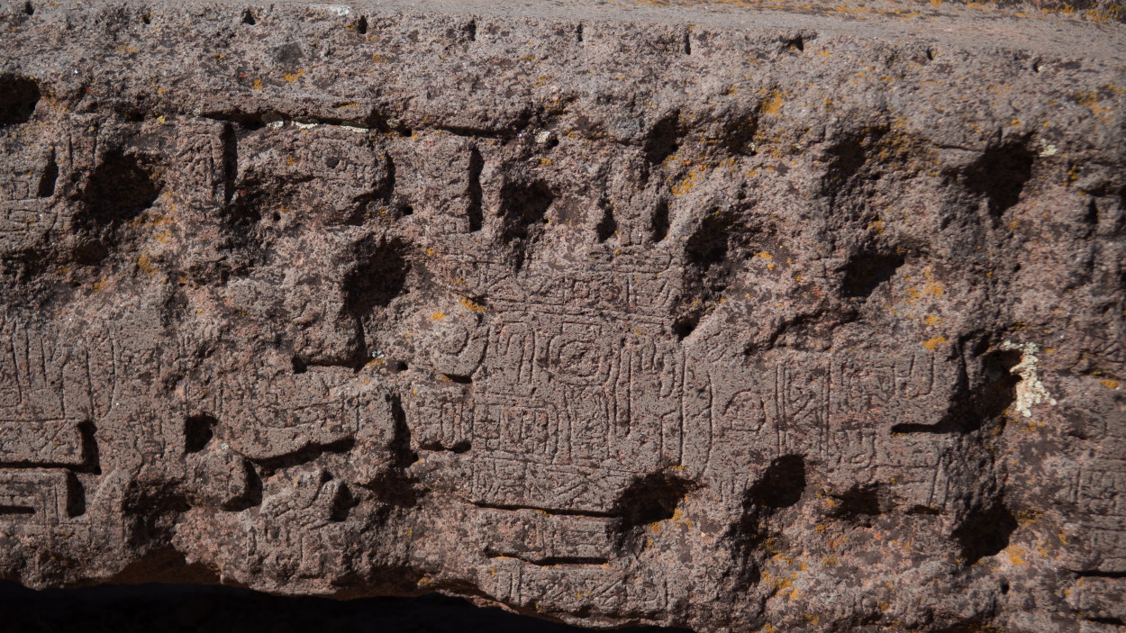
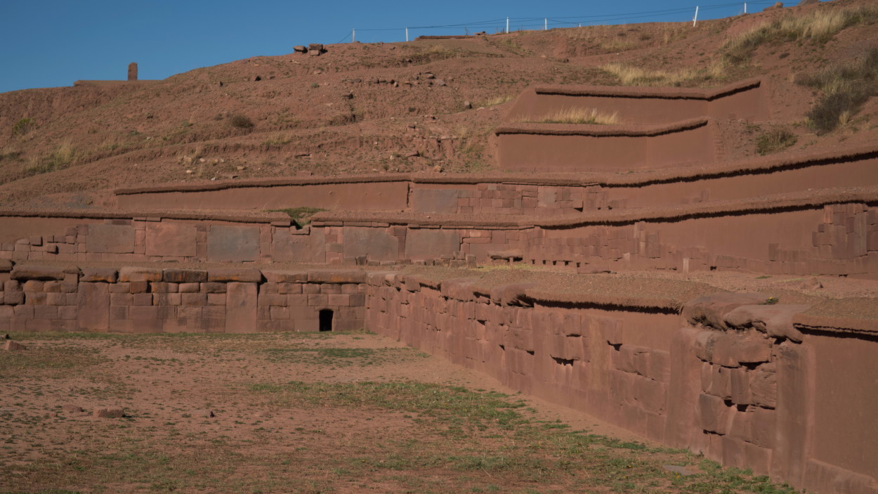
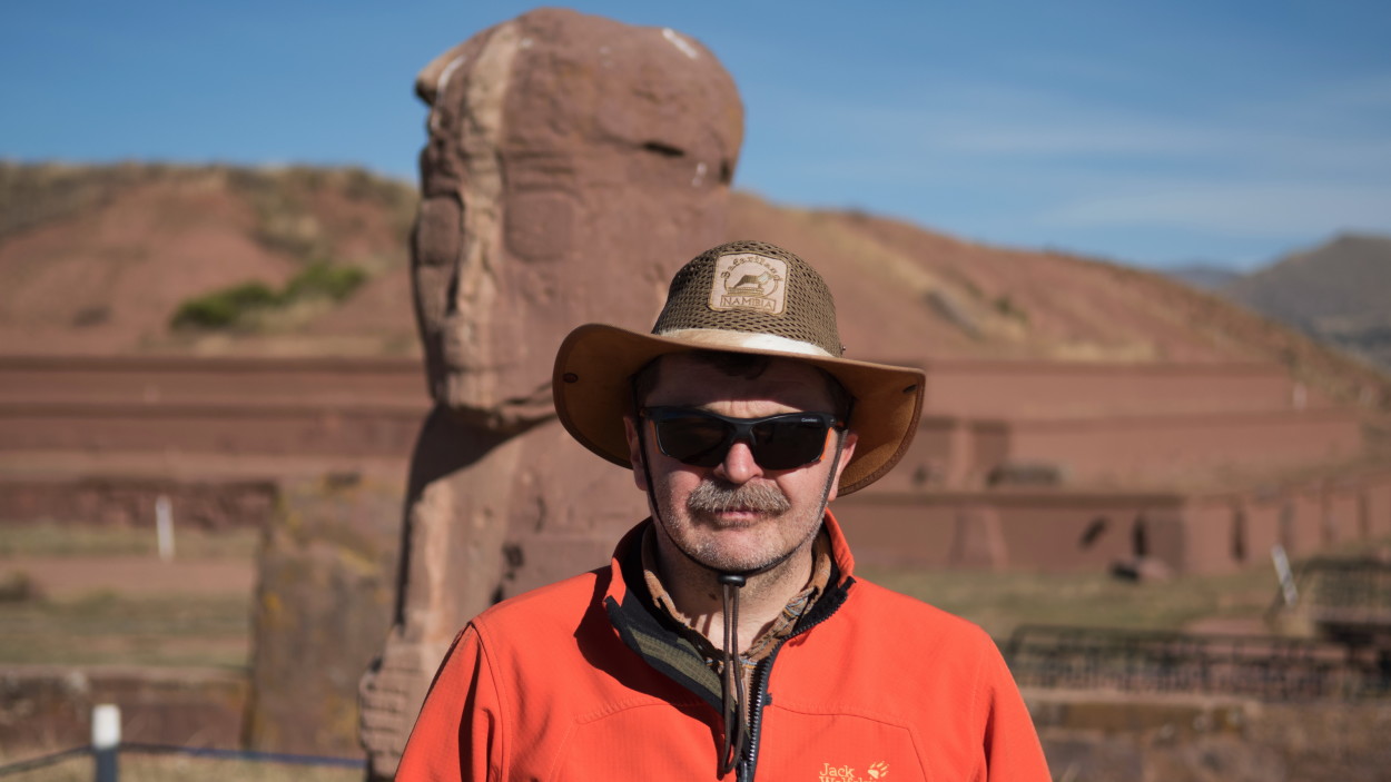
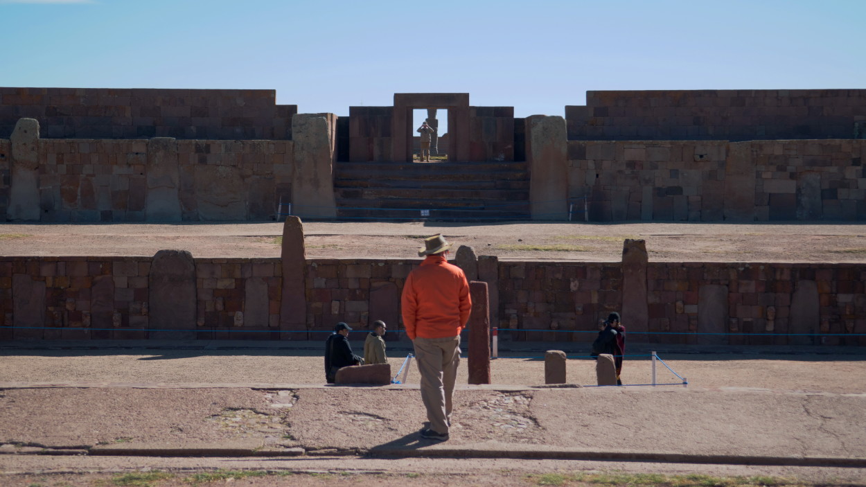
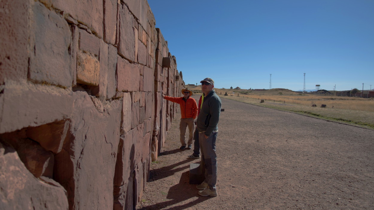
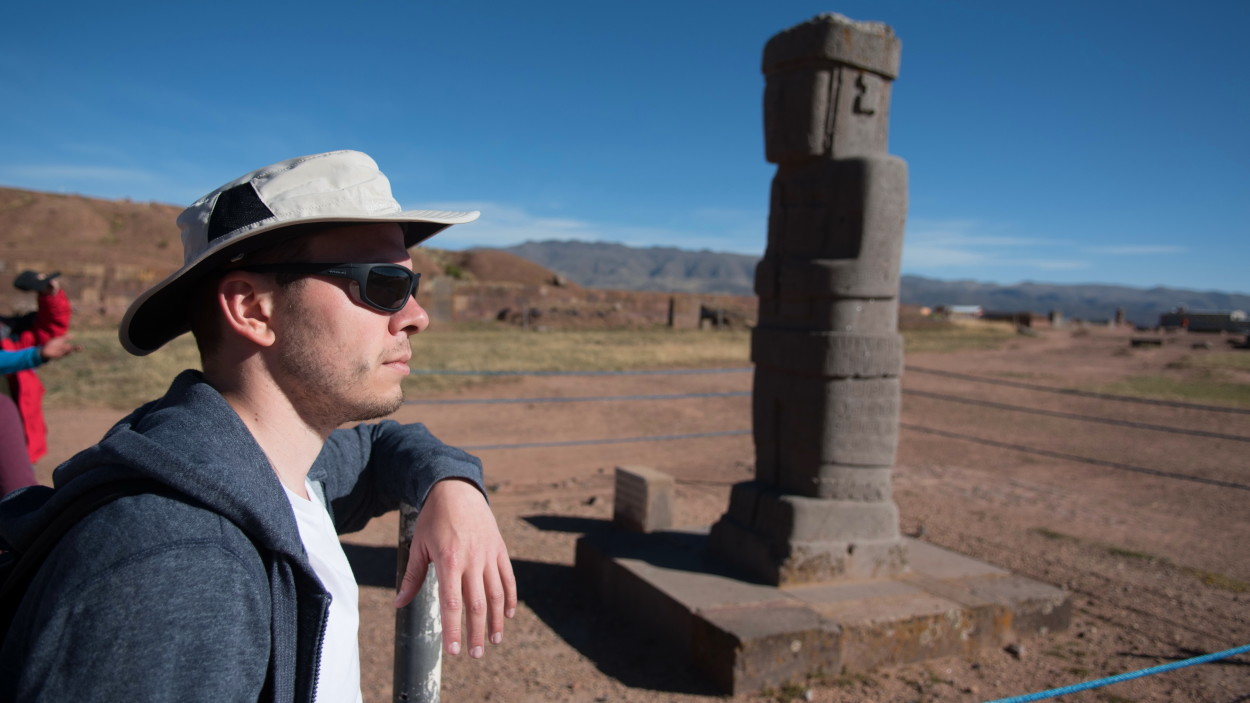
Today our path lies to the mysterious ruins of Tiwanaku, located 70 kilometers from La Paz, in the very center of South America, at an altitude of almost four thousand meters above sea level.
The first scientist – an enthusiast to explore the ruins of Tiwanaku was Arthur Poznansky, who arrived in Bolivia at the end of the 19th century. He was the first to become seriously interested in the ruins of Tiwanaku and devoted half a century to studying them.
Currently, it is believed that the founders of the Tiwanaku culture were the ancestors of the current Aymara Indian people, the second largest indigenous population of South America, and its heyday dates back to the 3rd -10th centuries of our era.
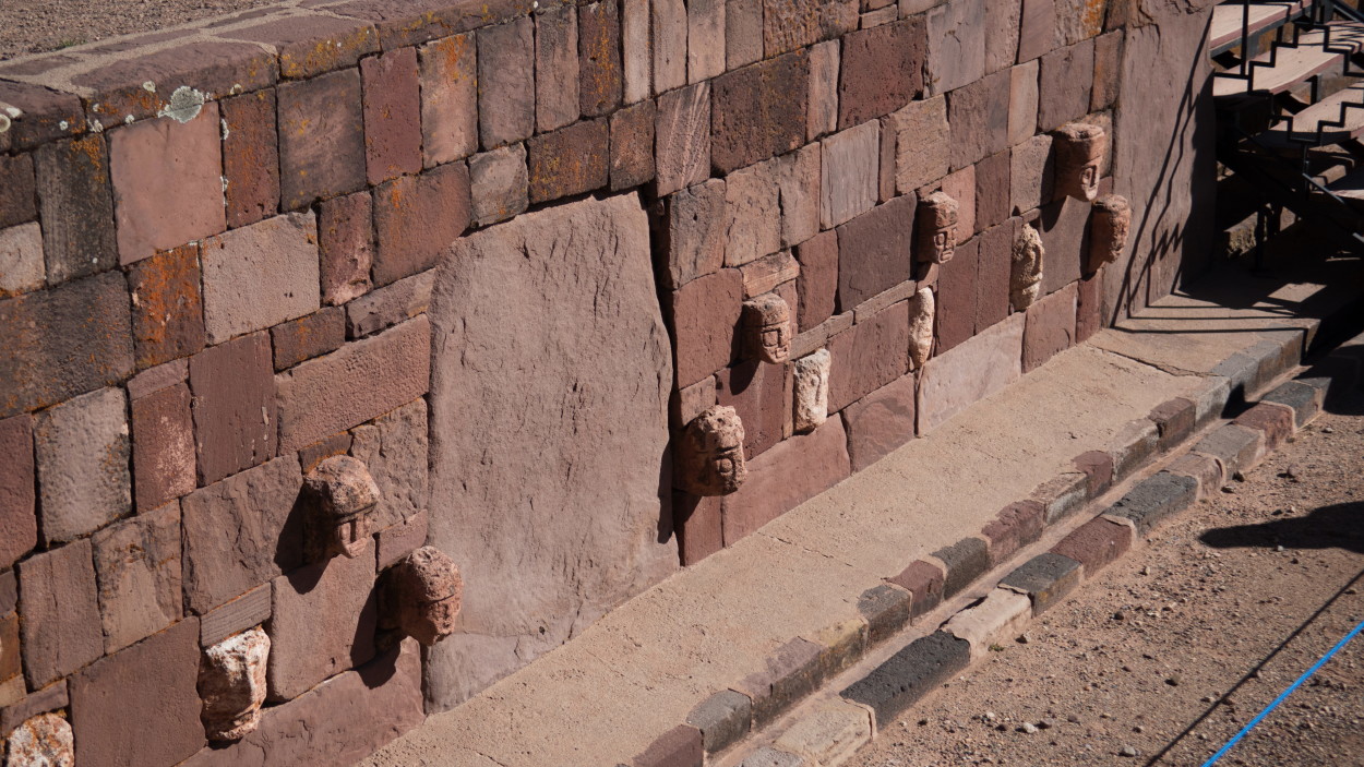
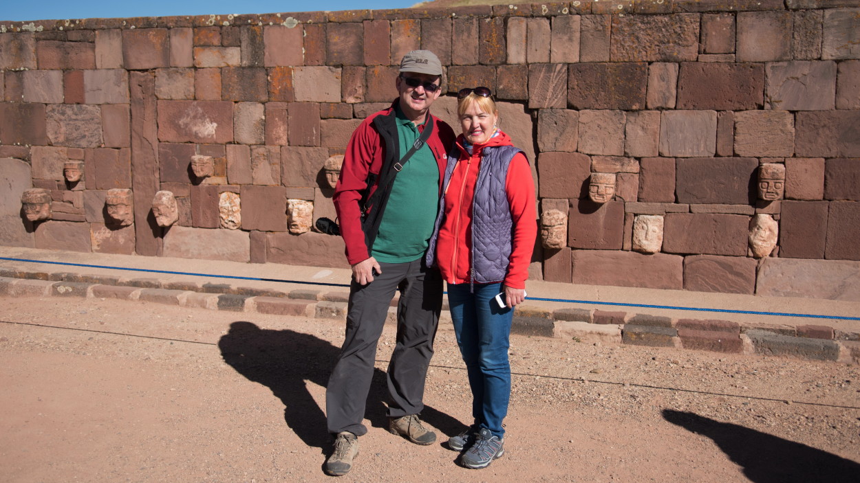
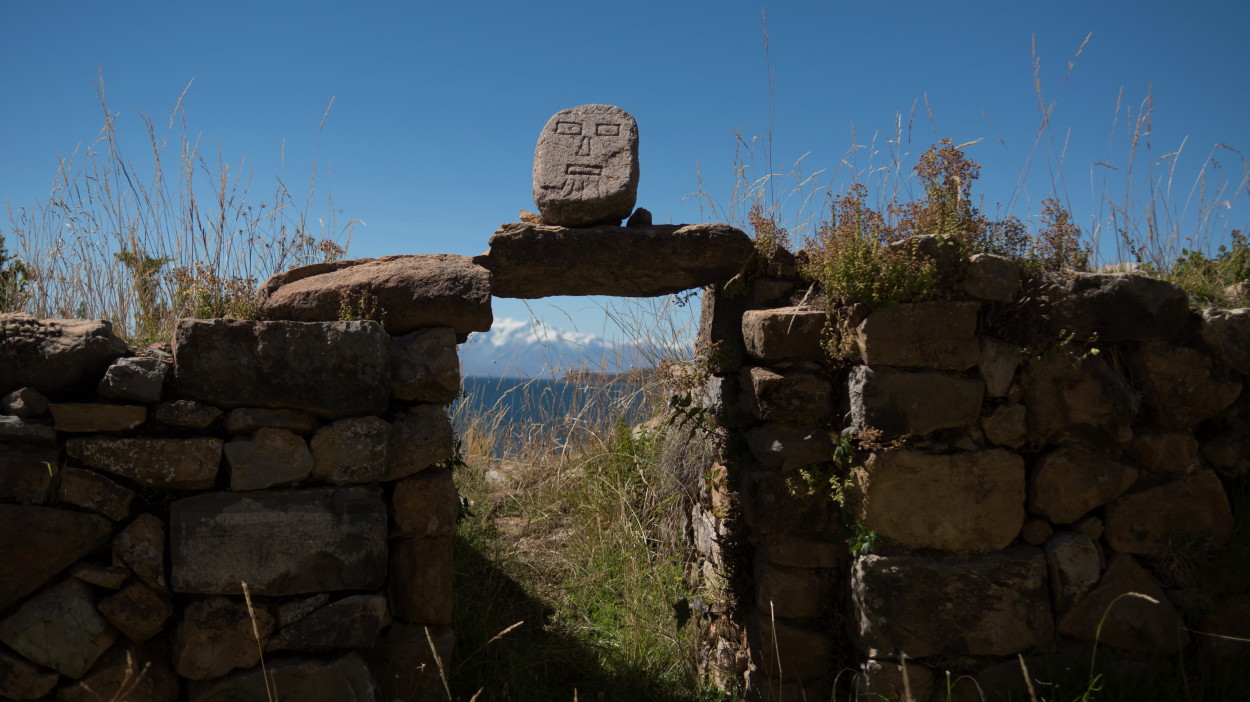
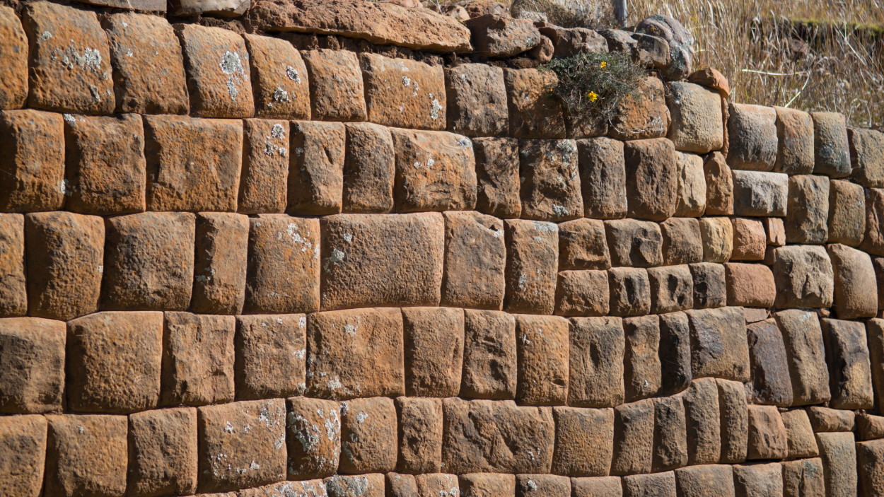
Like the present Bolivians, the inhabitants of the ancient empire were not distinguished by their aggressiveness and they won new subjects not by force of arms, but by the authority and ideology of peaceful coexistence of tribes. Therefore, in the burials of Tiwanaku, no weapons are found, but a wide variety of tools are found in large numbers. And the stone faces, unlike each other, mounted into the inner walls of the floor of the underground temple of Semisubterraneo, according to scientists, indicate that many tribes and peoples living in this territory entered the Tiwanaku empire.
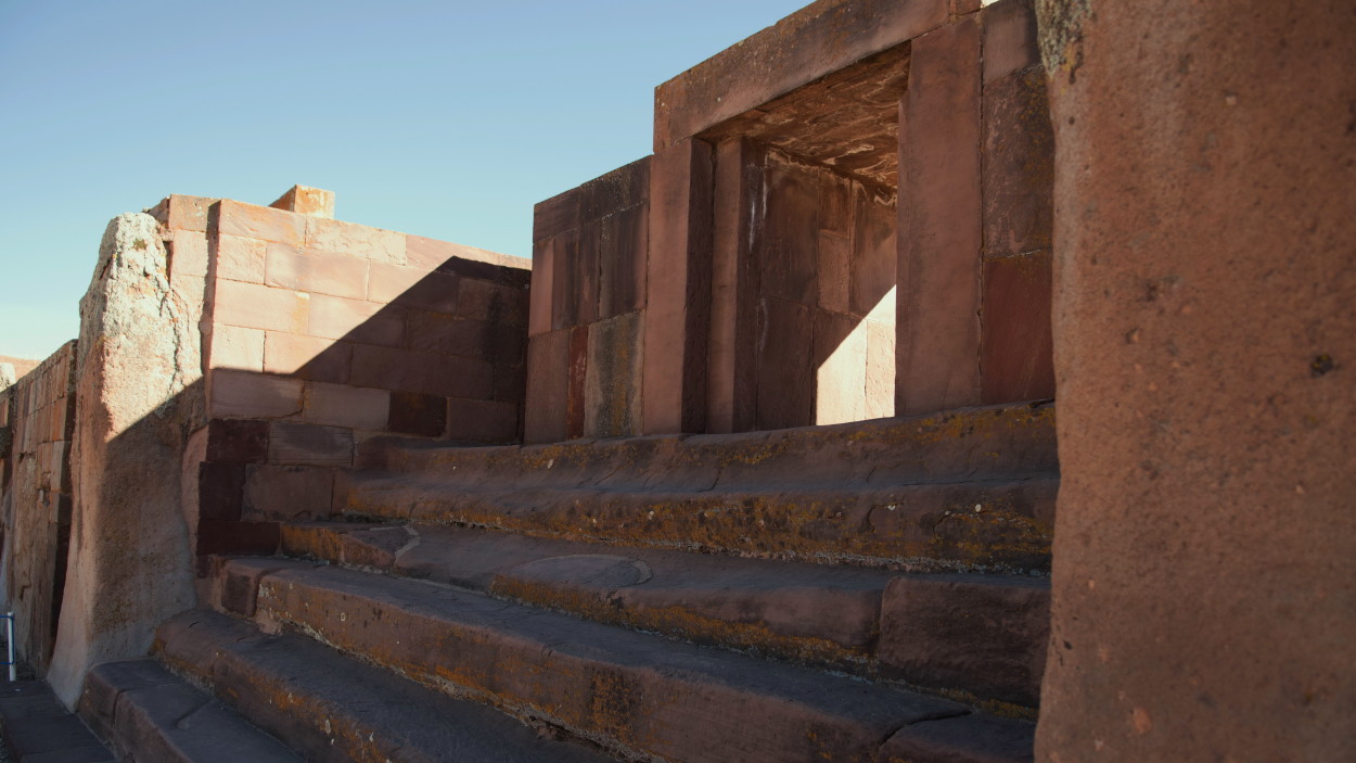
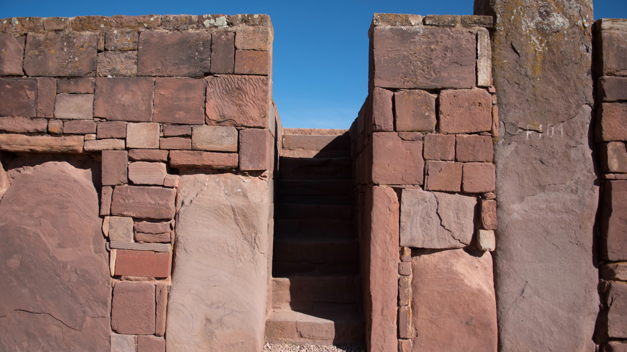
And the Kalasasaya temple, with its stone steps and the main entrance, has become a witness not only of the distant past, but also of an important event in modern history! It was through this ancient entrance that on January 21, 2006, Bolivian President Evo Morales, the country’s first Indian leader in the last 500 years, passed and then addressed the people!
Unfortunately, there is still no reliable information about the reasons for the death of this ancient civilization. One thing is clear that the “imperial traditions” of the rulers of Tiwanaku were largely used by the Incas, who in the 11th – 16th centuries managed to create another powerful civilization on the vast territory of the Andes.
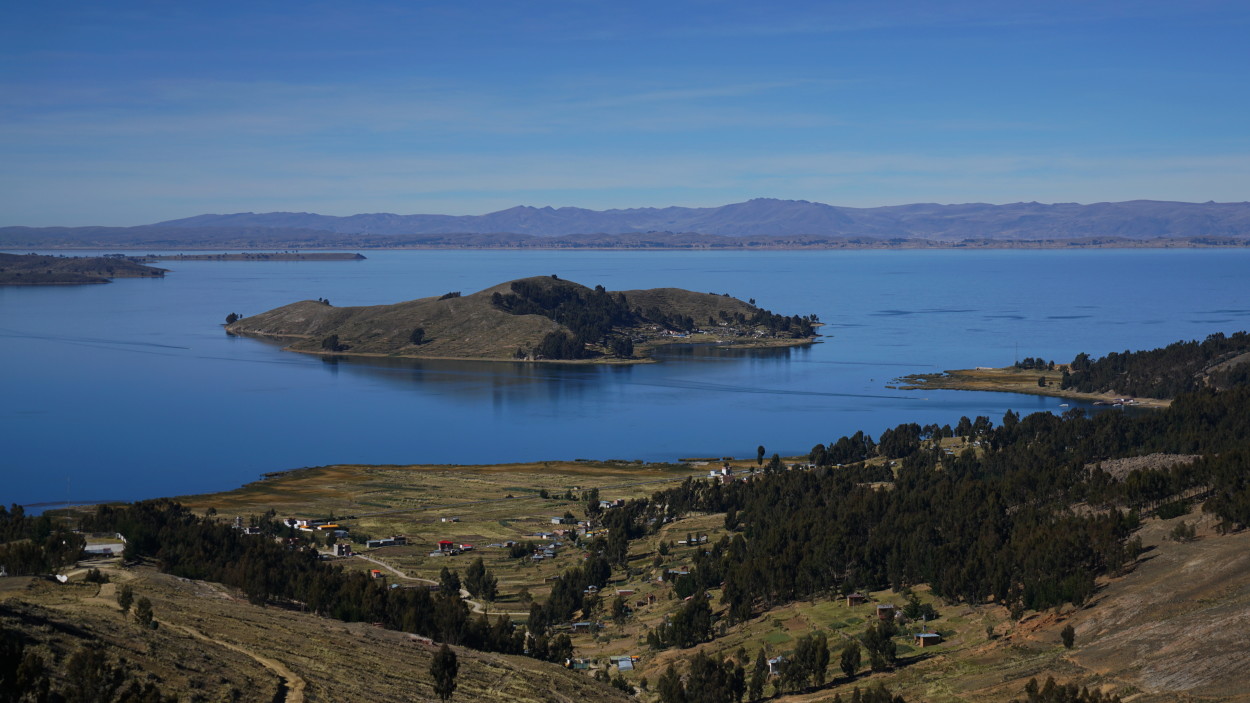
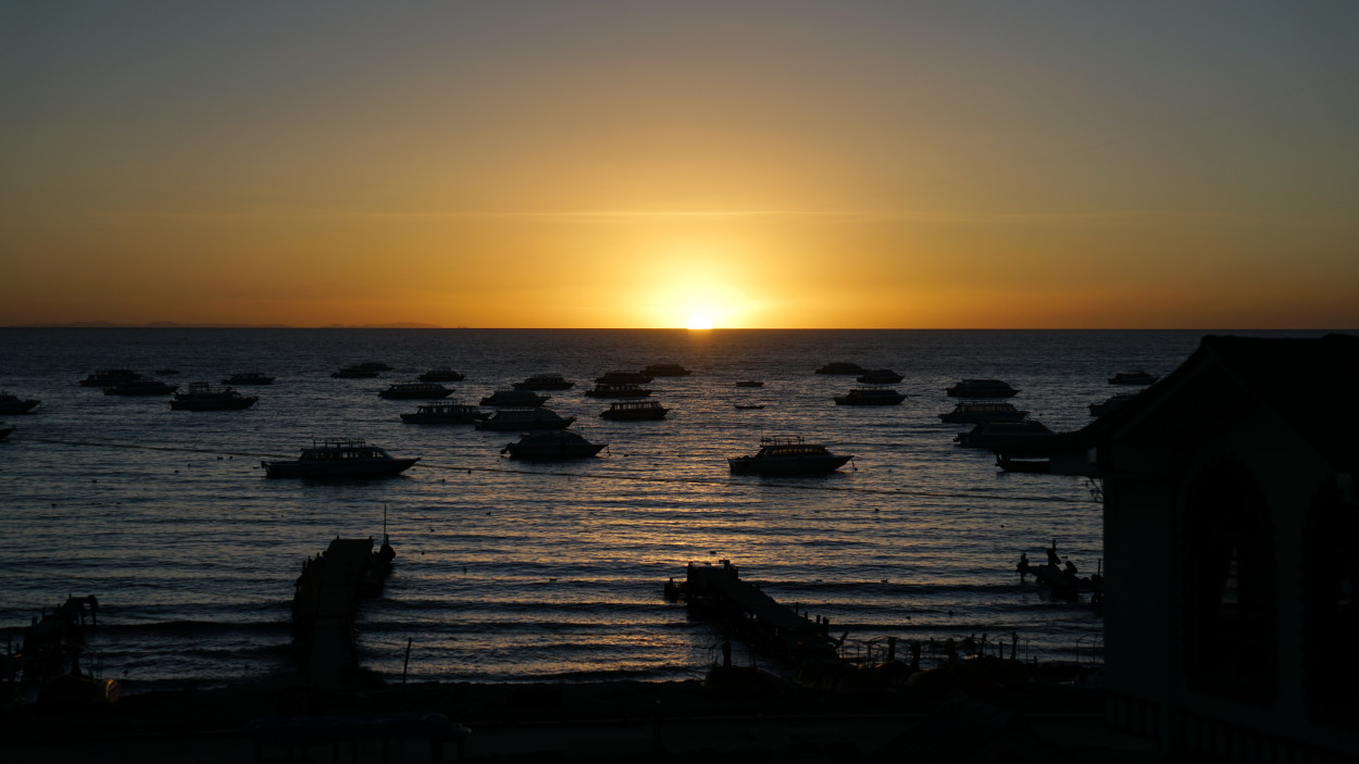
And we go further to the border with Peru, where, surrounded by snowy peaks and fertile valleys at an altitude of 3812 meters above sea level, is located the mysterious Lake Titicaca, revered by all the indigenous peoples of the Andes.
The origin of the name Titicaca is reliably known. It consists of two words in the language of the Quechua Indians: titi means “puma” and kaka means “rock”. The lake is considered the cradle of the civilization of the Incas, Tiahuanaco and other indigenous peoples of the Andes.
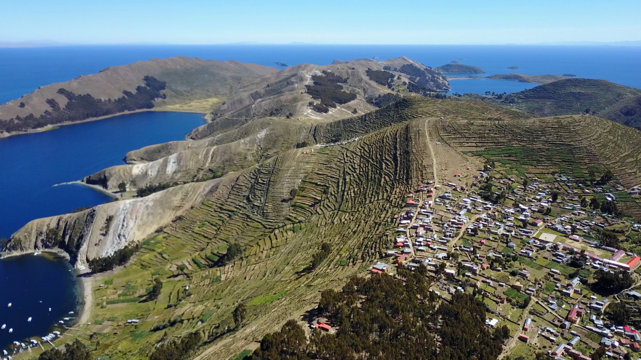
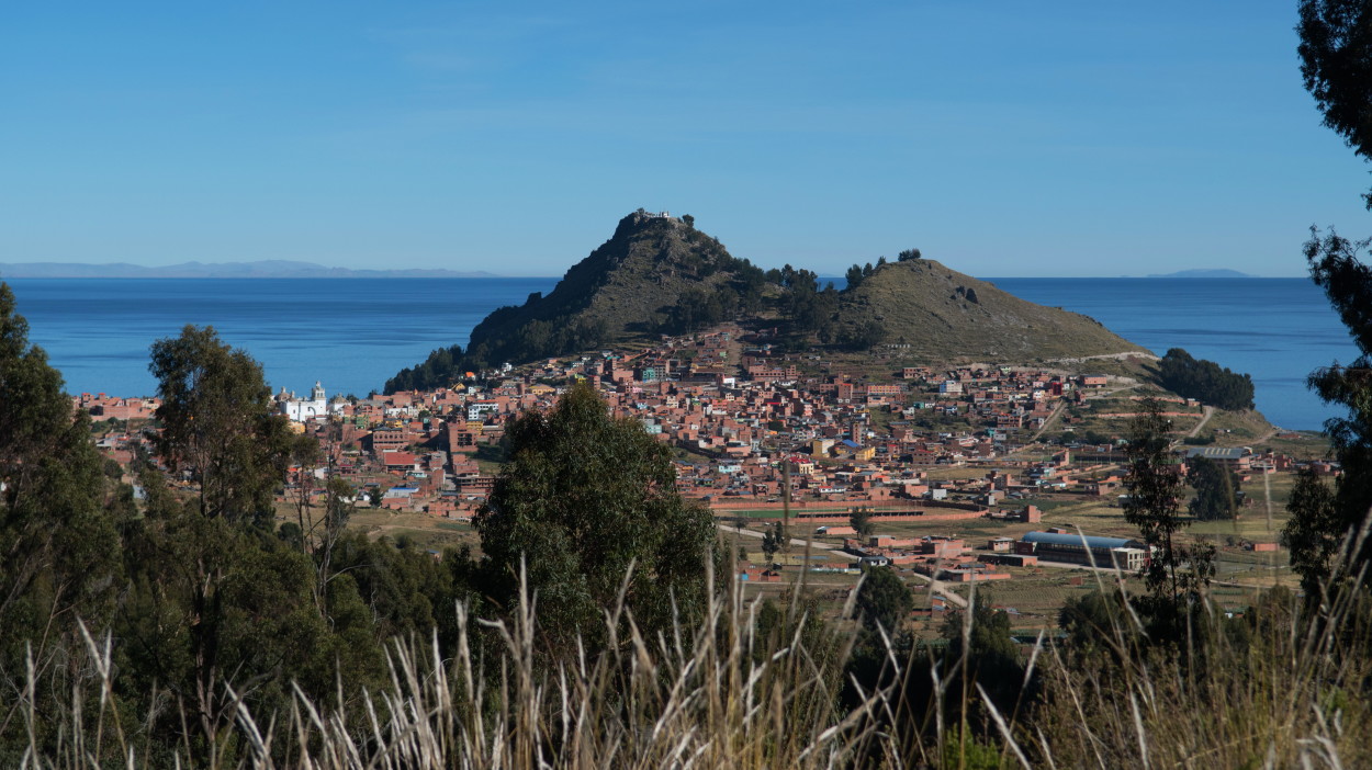
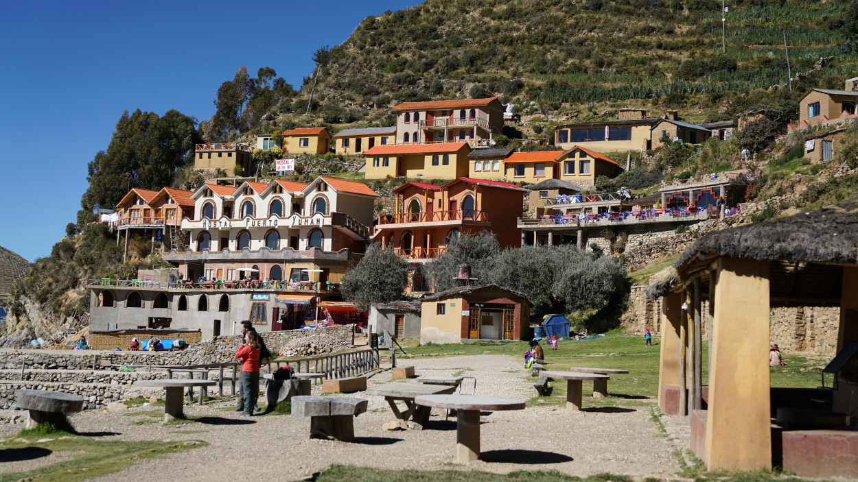
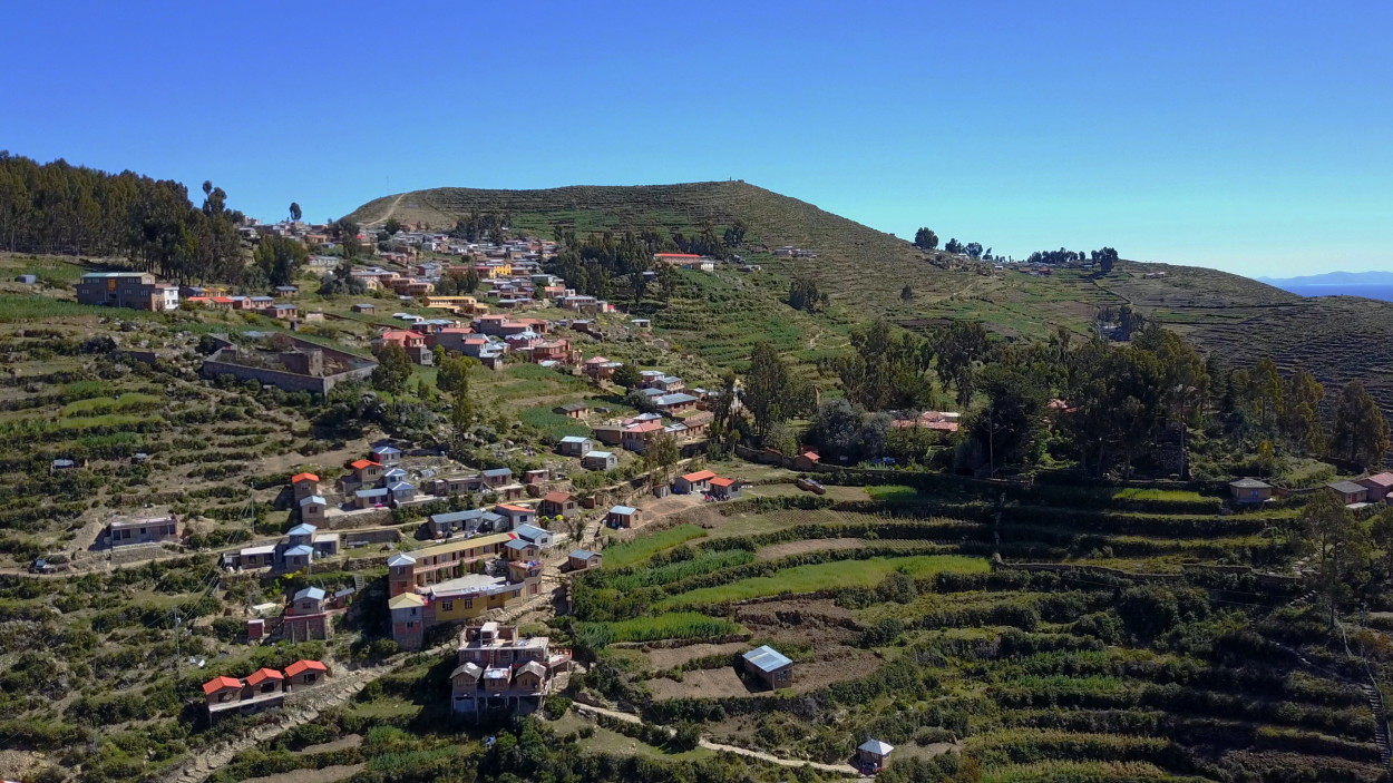
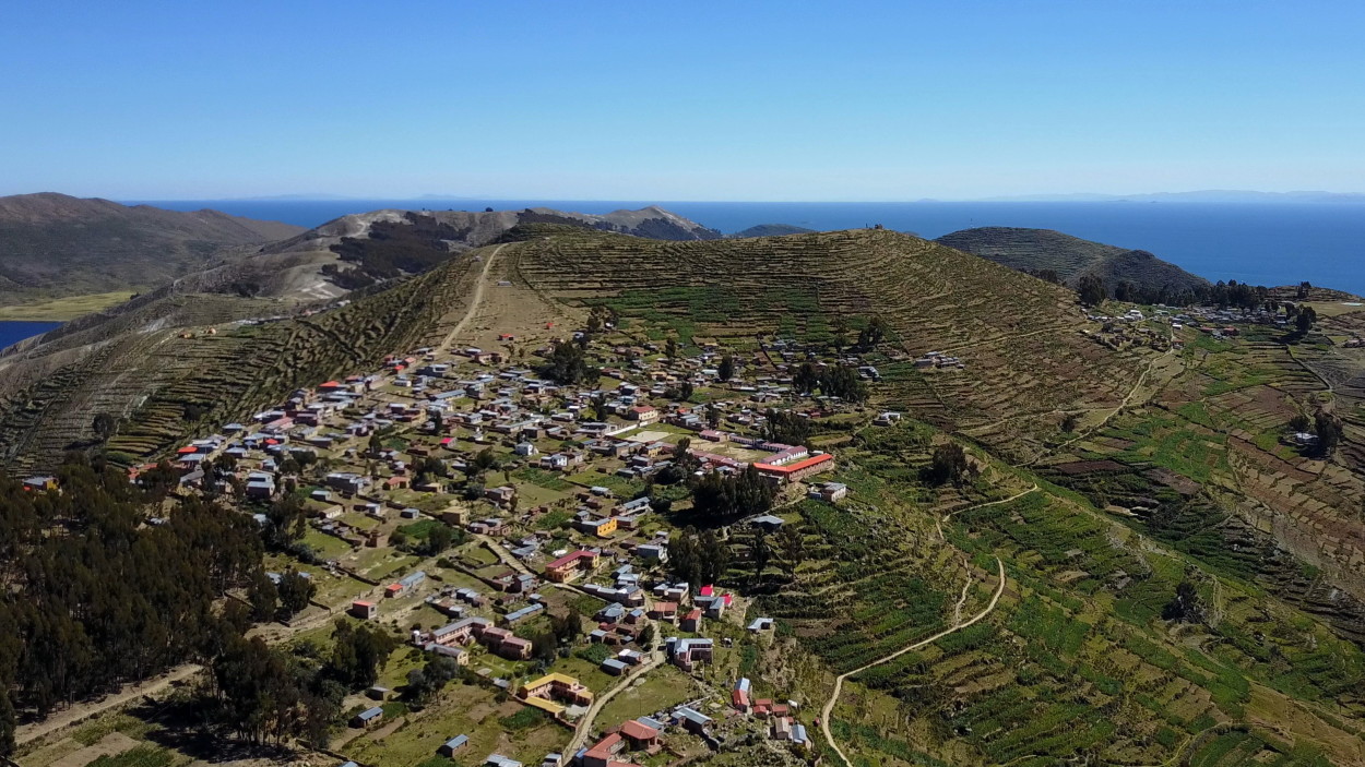
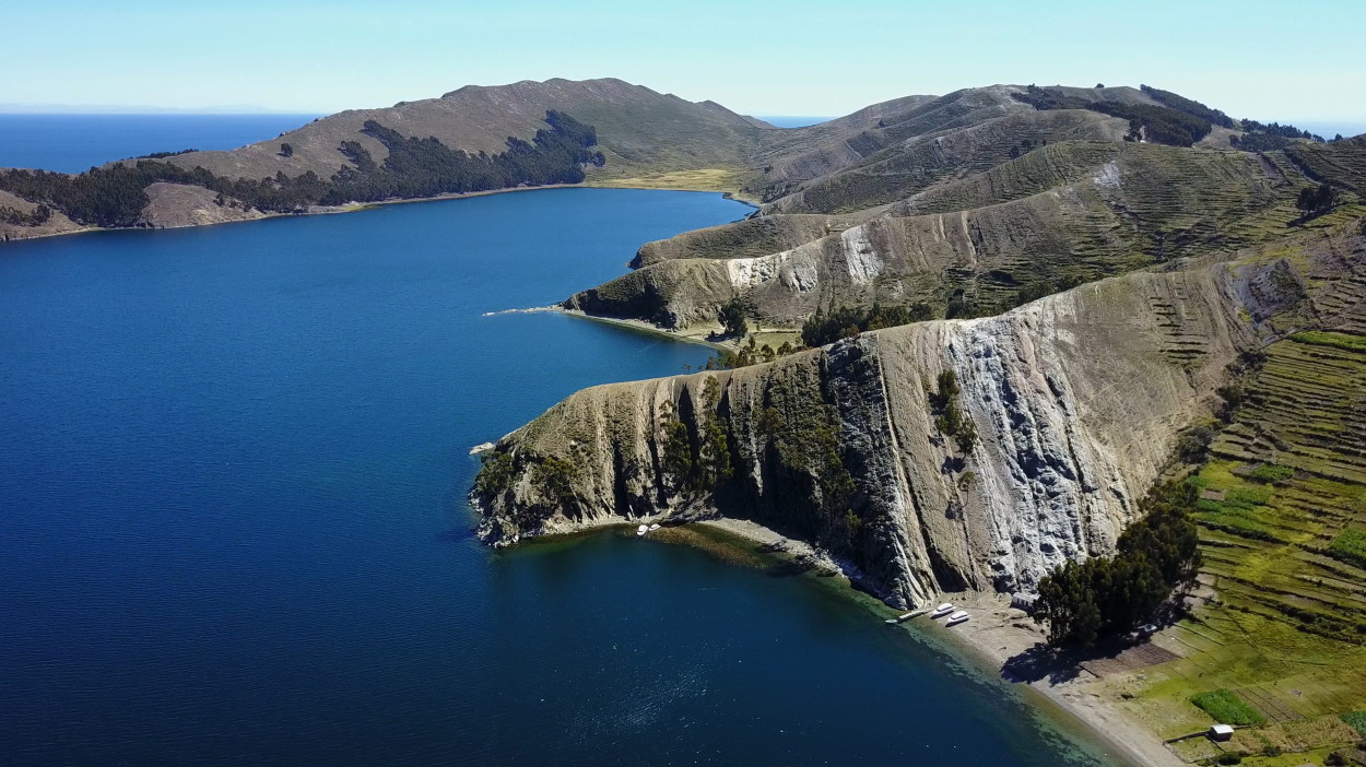
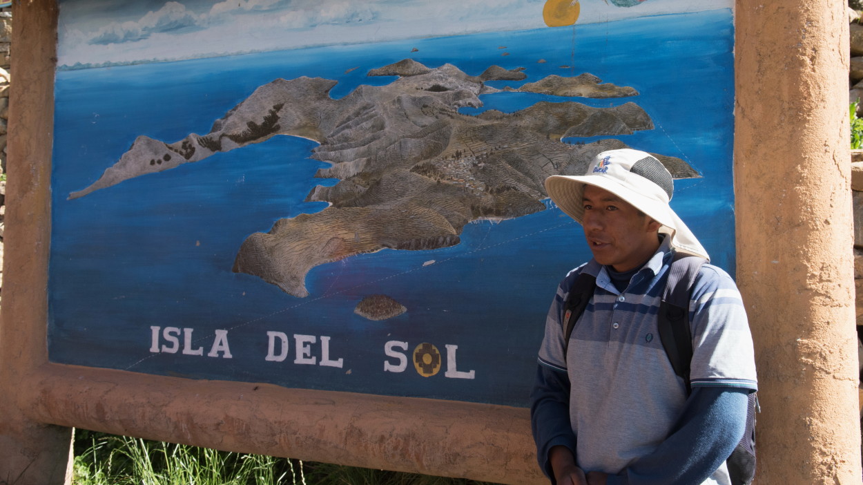
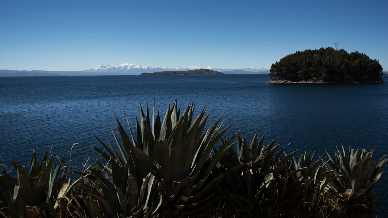
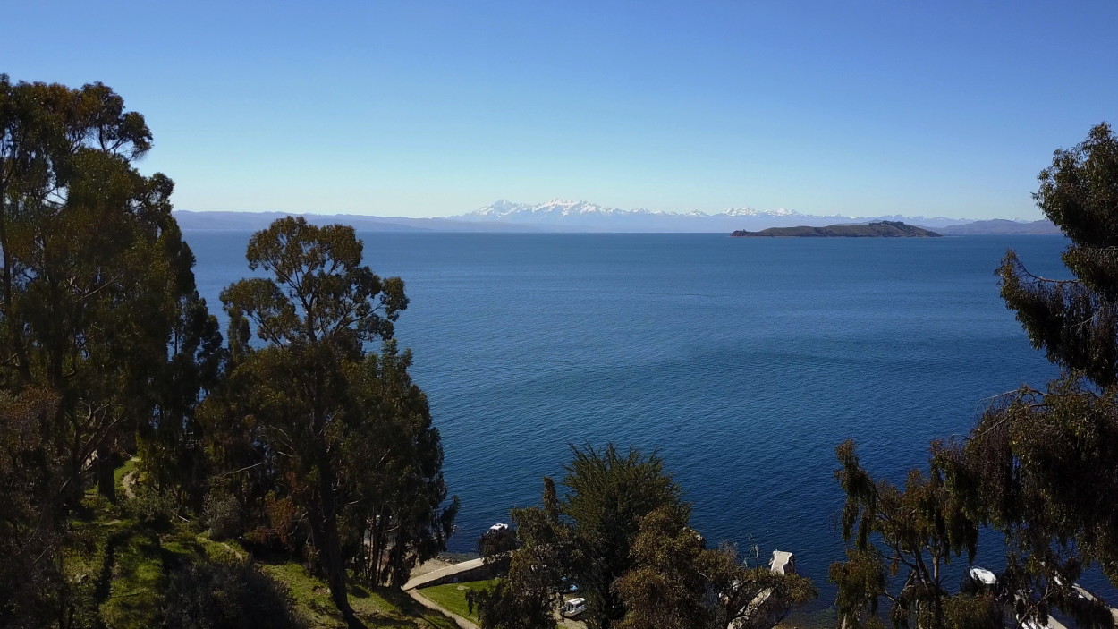
Titicaca has 41 islands. The largest of these is Isla del Sol, the Island of the Sun. It is located in the south of the lake near Copacabana town.
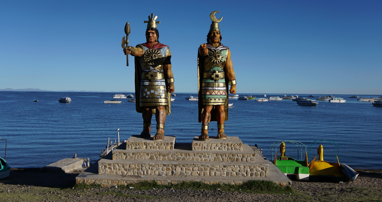
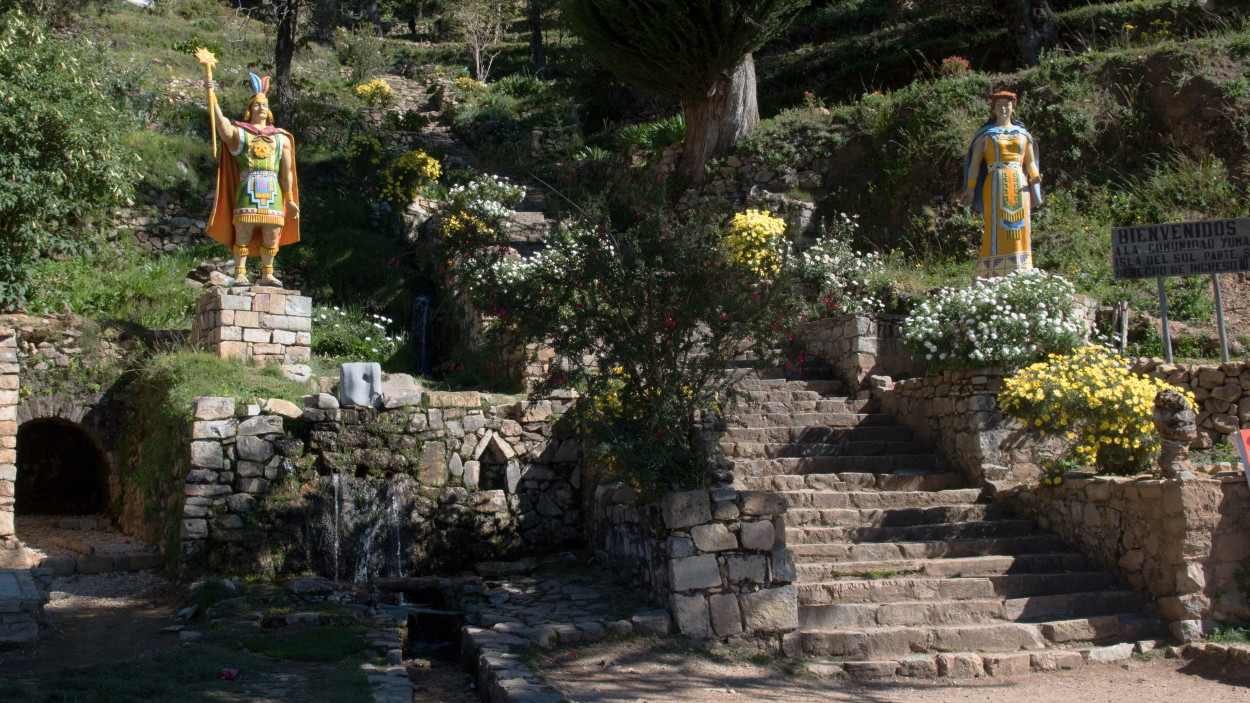
According to legend, it was here that Manco Capac, the founder of the Inca empire, and his wife Mama Oklio were born.
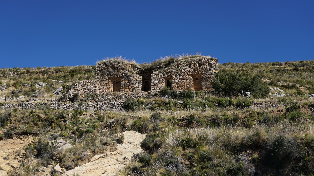
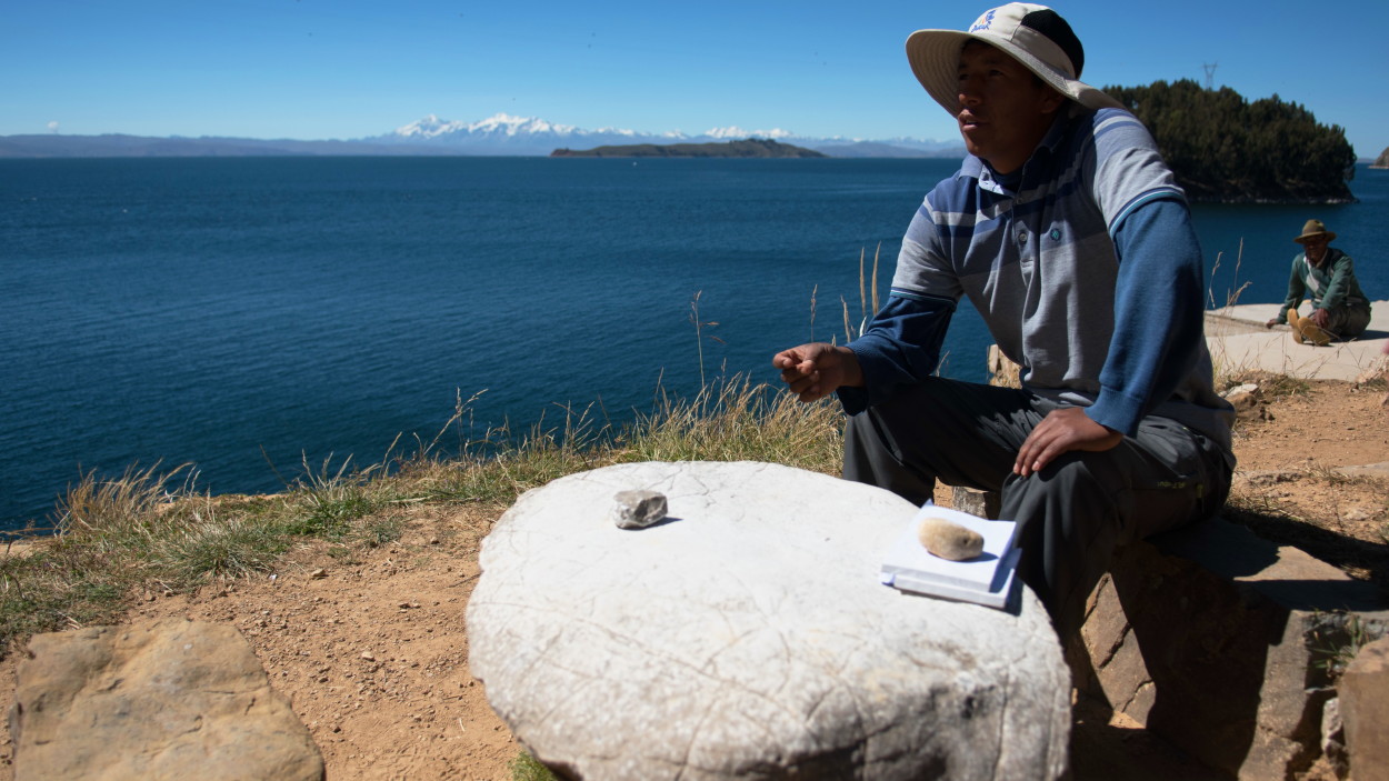
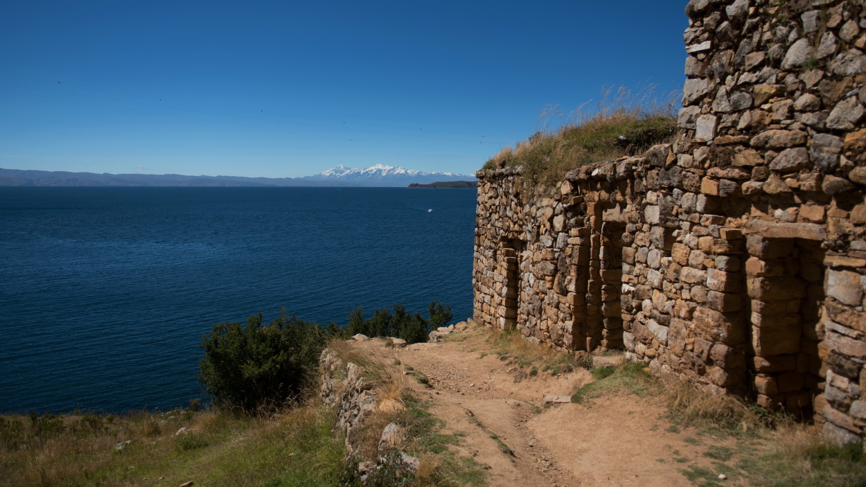
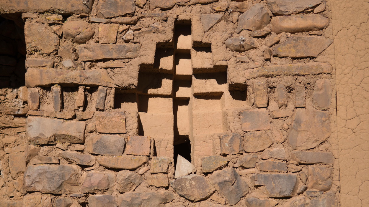
Archaeologists exploring the islands have discovered sanctuaries dating from the 5th – 6th century BC, making them a sacred site long before the rise of the Inca empire. Scientists believe that the lake area once served as the cradle of the Tiwanaku civilization, which reached its peak by the 6th century BC, but for unknown reasons sunk into obscurity around 1200 AD, long before the creation of the Inca empire. So, we begin our acquaintance with Lake Titicaca from Isla del Sol, the Island of the Sun, where the locals carefully preserve the sanctuaries of ancient civilizations.
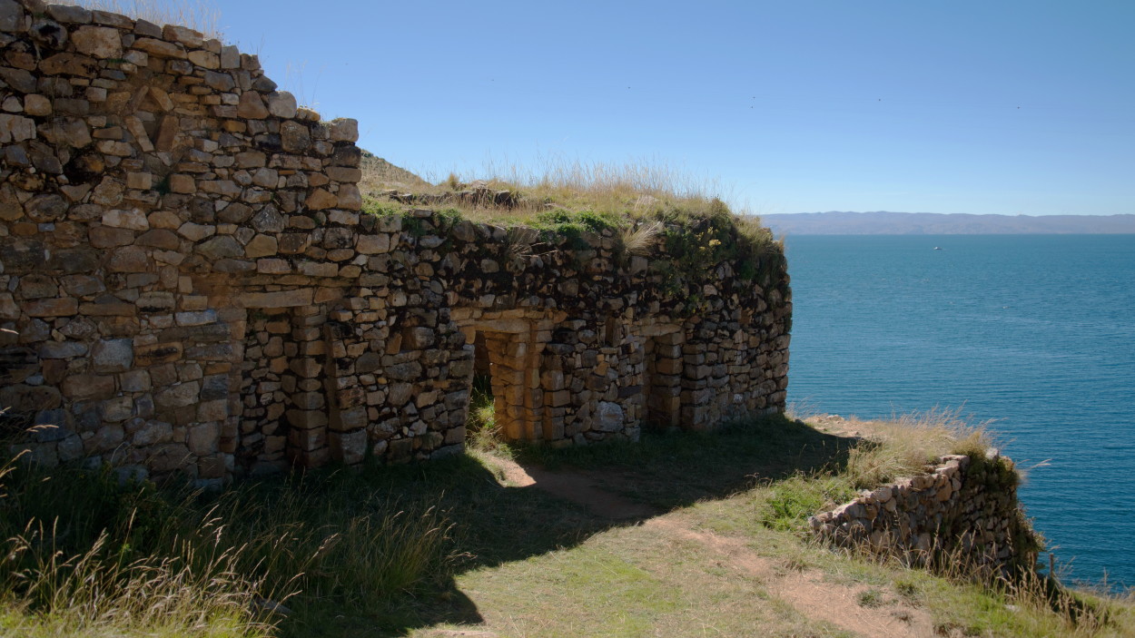
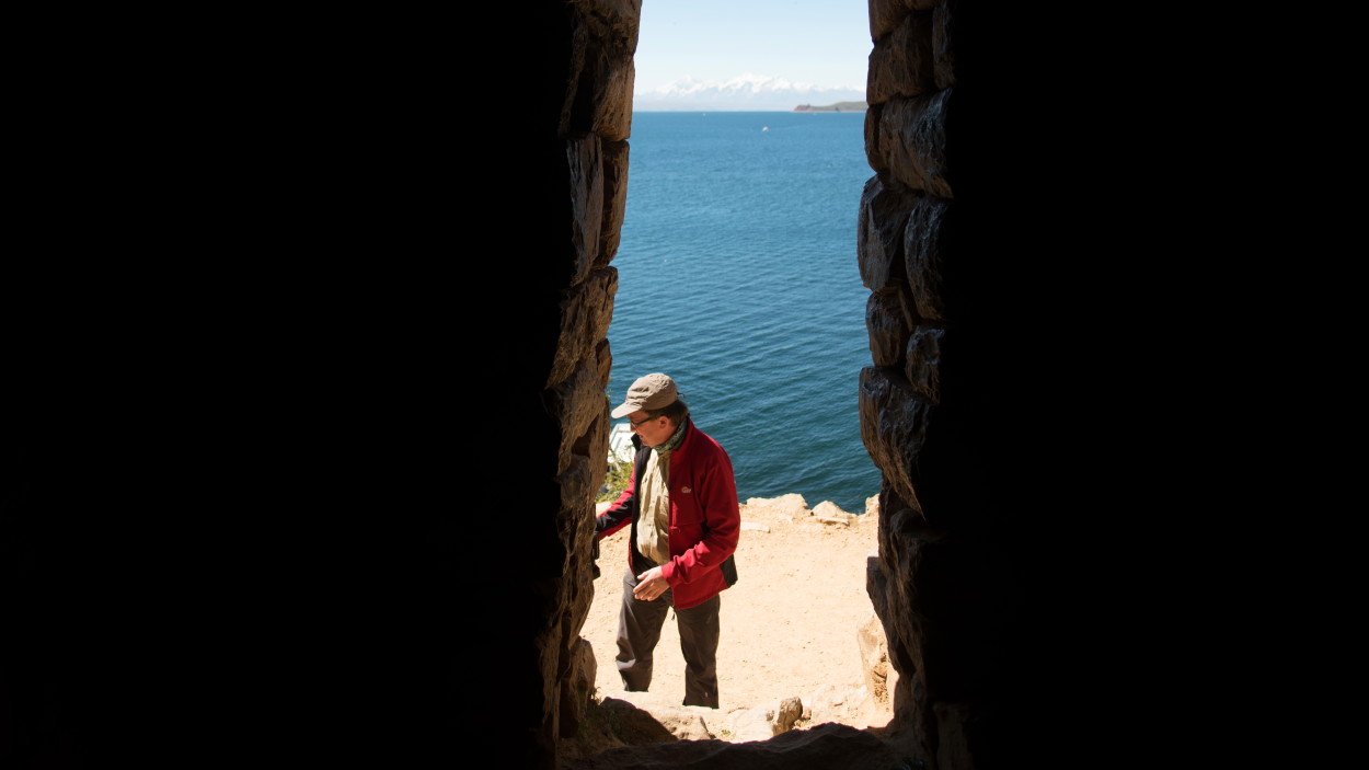
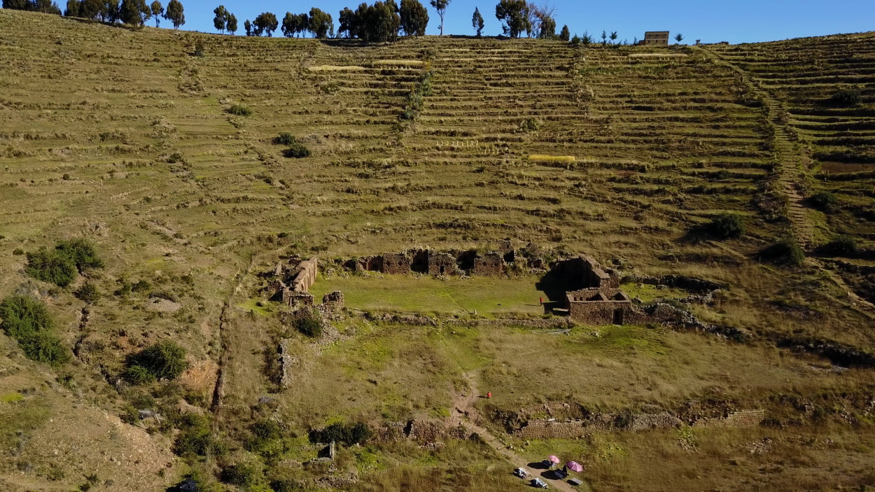
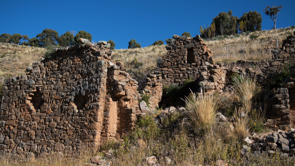
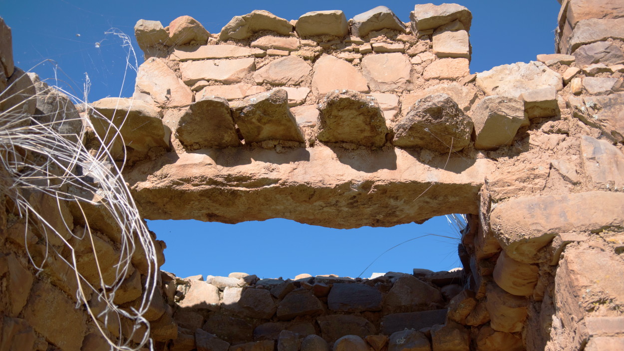
Further, on a comfortable boat, we go to another sacred island on Lake Titicaca – the Island of the Moon, or as it is also called Coati, where the majestic sacred sanctuaries of ancient civilizations have also been preserved.
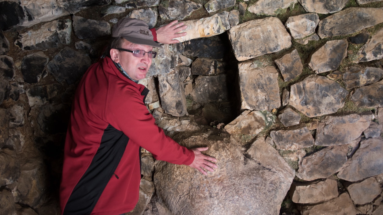
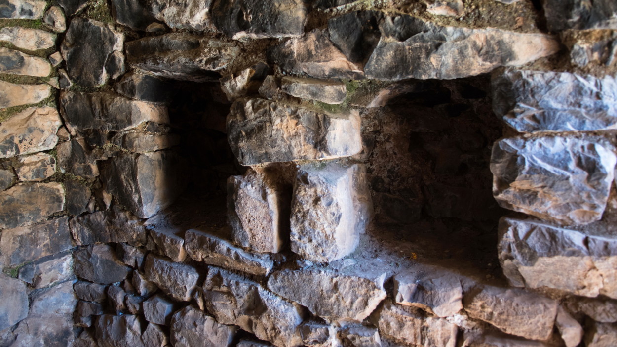
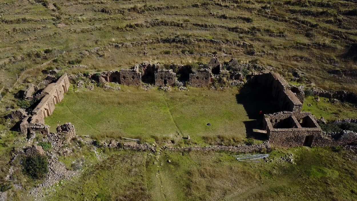
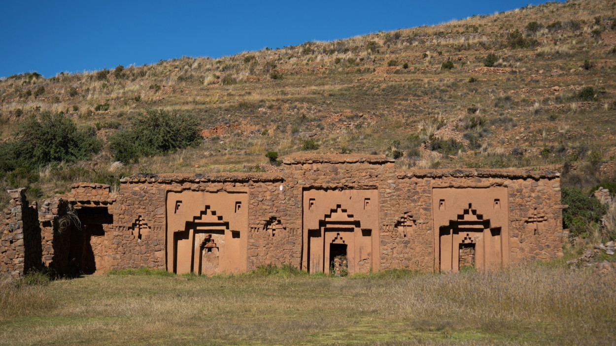
And finally, our eyes open to the majestic sacred construction of Ahiyya Wasi, which in the time of the Incas was both a temple and a palace for the chosen virgins of the priestesses of the Sun.
It’s time to say goodbye to the mysterious Lake Titicaca, the cradle of ancient civilizations. Here we managed to get in touch with the history of the indigenous peoples of the Andes, wander through the legendary ancient ruins and feel the spirit of the mysterious lake in the land of the Sun God.
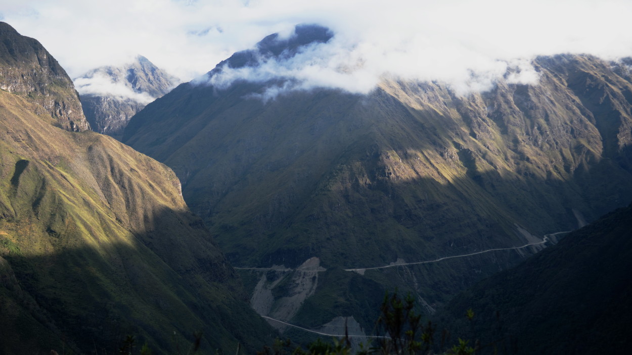
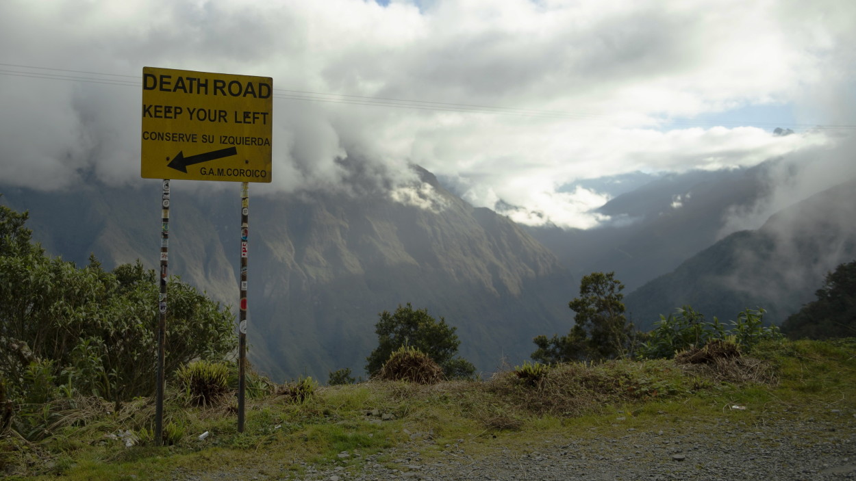
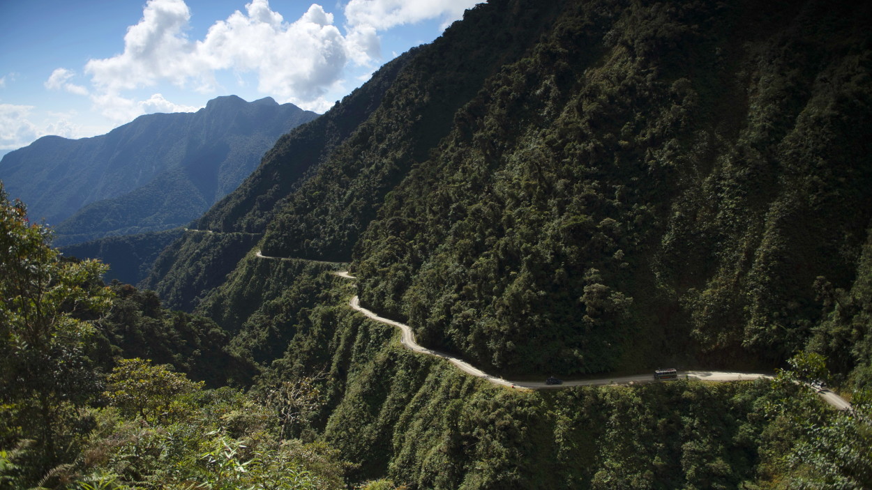
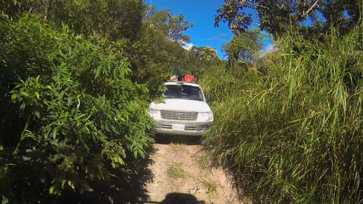
So, we set off from the town of Copacabana through the mountain ranges of the Andes to the west, to the province of Yungas, where we have to drive along one of the most dangerous roads in the world, the infamous “Death Road”.
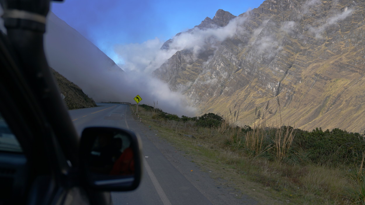
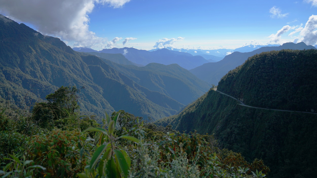
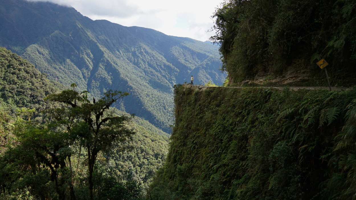
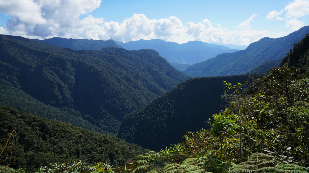
Death Road was built in 1930. Its length is almost 70 kilometers, and the highest altitude is 3600 meters above sea level. Along the entire route, the depth of the abyss under the road is about six hundred meters, while the width of the road is less than three and a half meters.
So, our drivers and cars ready, and we are starting to familiarity with the most famous road of Bolivia – “The Road of Death.”
The extraordinary beauty of the gorge, combined with extreme driving, gave us a lot of emotions and we just have to go down the road overgrown with tropical plants to the highway leading to Madidi National Park.
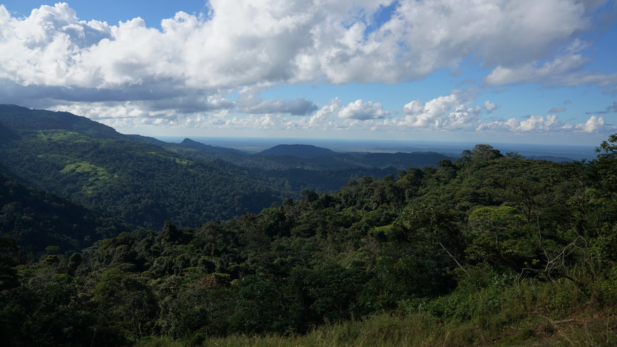
With an adrenaline rush from an extreme ride, we head further north Bolivia to the small town of Rurrenabaque, where the tropical Andes slopes merge with the plains of the Amazon basin.
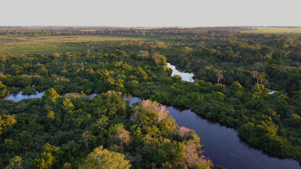
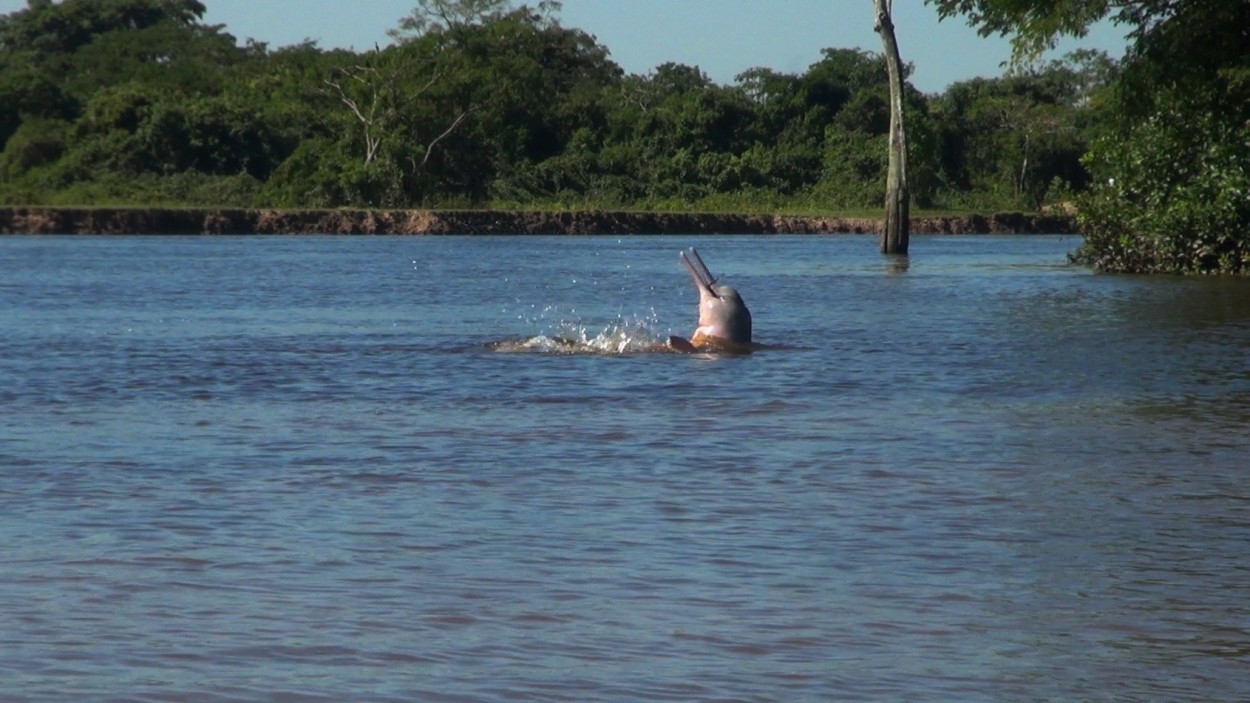
Tomorrow, by motorboat, we will go to get acquainted with the wildlife of the jungle of Madidi National Park. And, of course, we hope to meet with freshwater pink dolphins living in the upper reaches of the Amazon.
Madidi National Park has an area of 19 thousand square meters. km. It is one of the largest protected natural areas in the world.
Jungle Madidi is one of the ten most dangerous places on the planet, which attracts lovers of extreme tropical tourism.
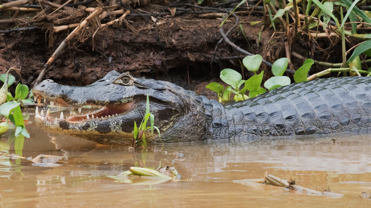
Literally everything is dangerous here: poisonous snakes and jaguars, bears and wild pigs capable of attacking humans at any time, and various toads living in the jungle are the most poisonous on the planet. And even plants, with poisonous leaves and seeds, can bring irreparable harm to health.
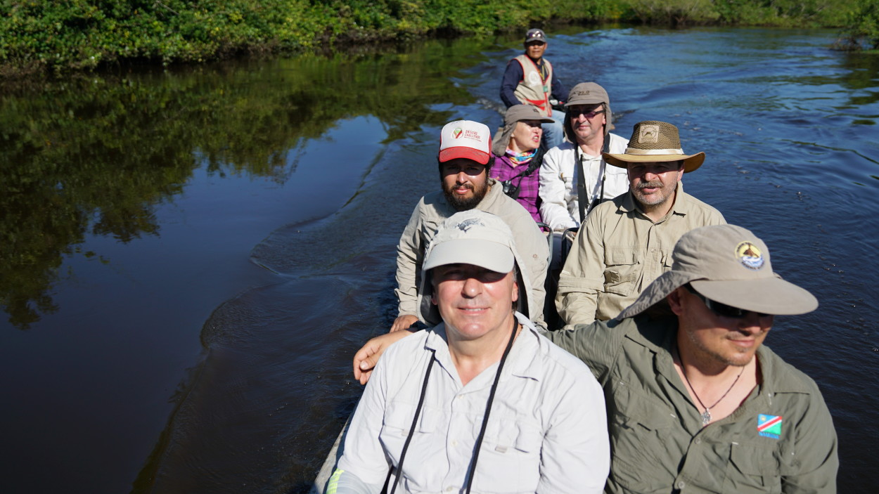
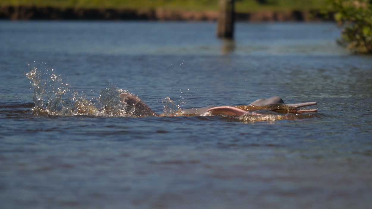
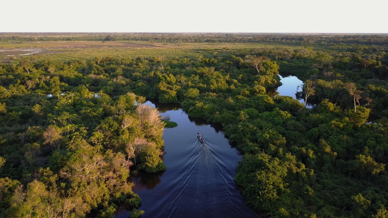
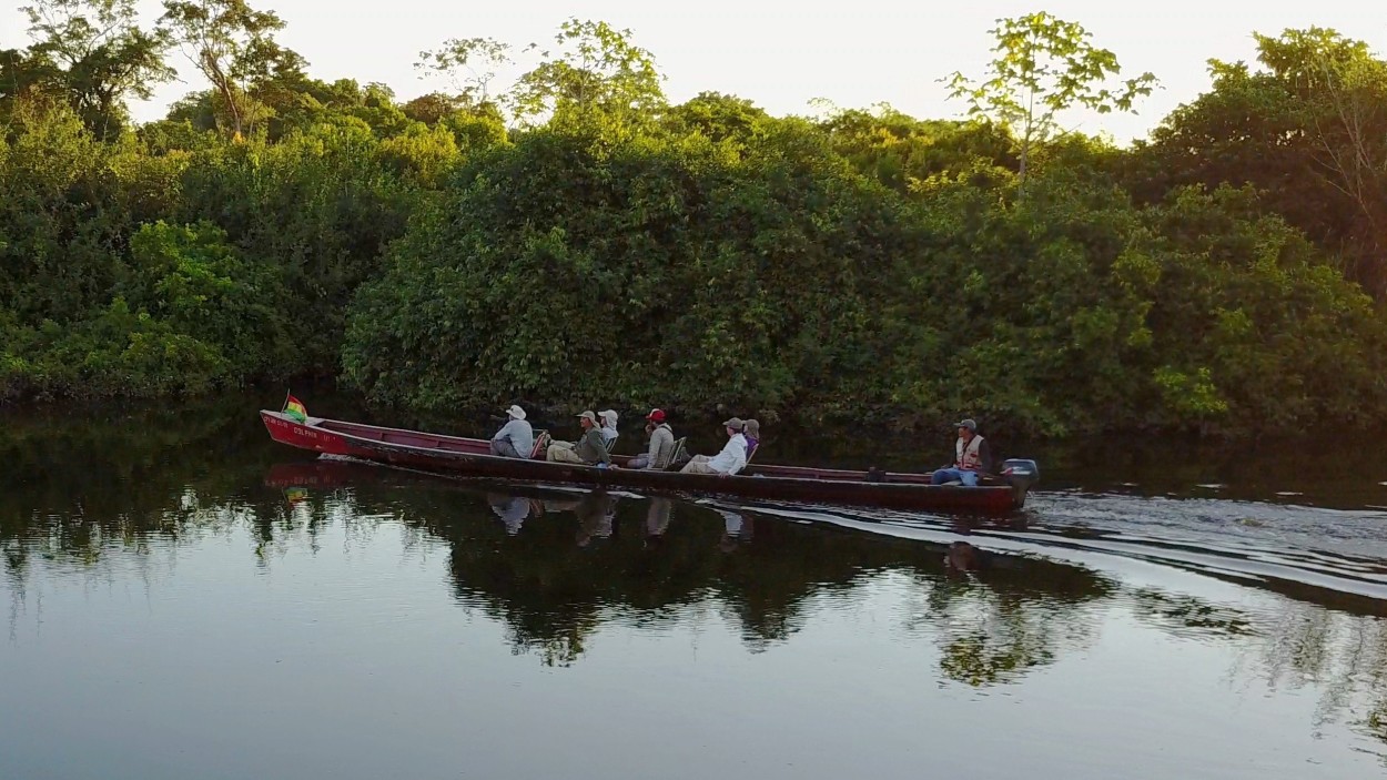
So, observing precautions, we go on a motor boat, deep into Madidi National Park in search of freshwater pink dolphins.
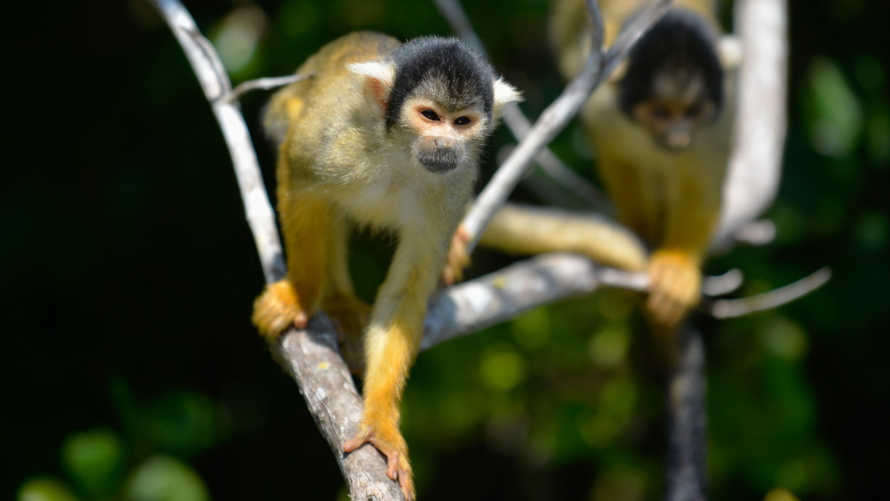
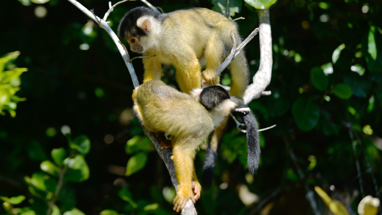
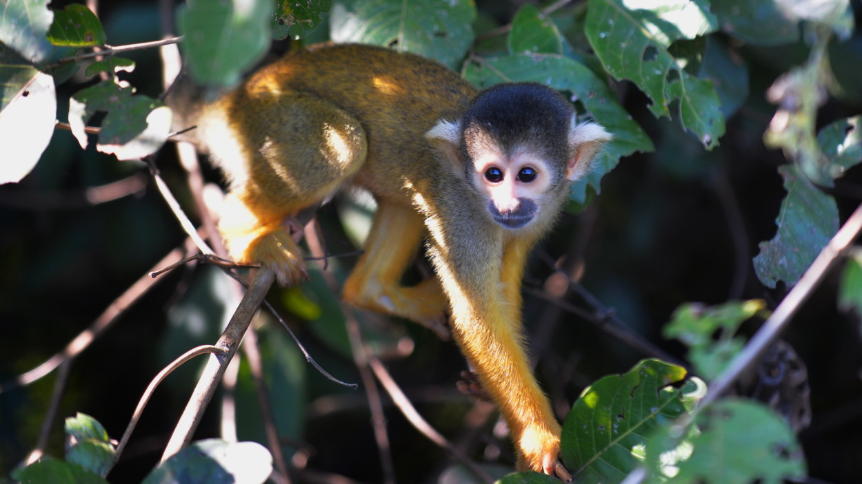
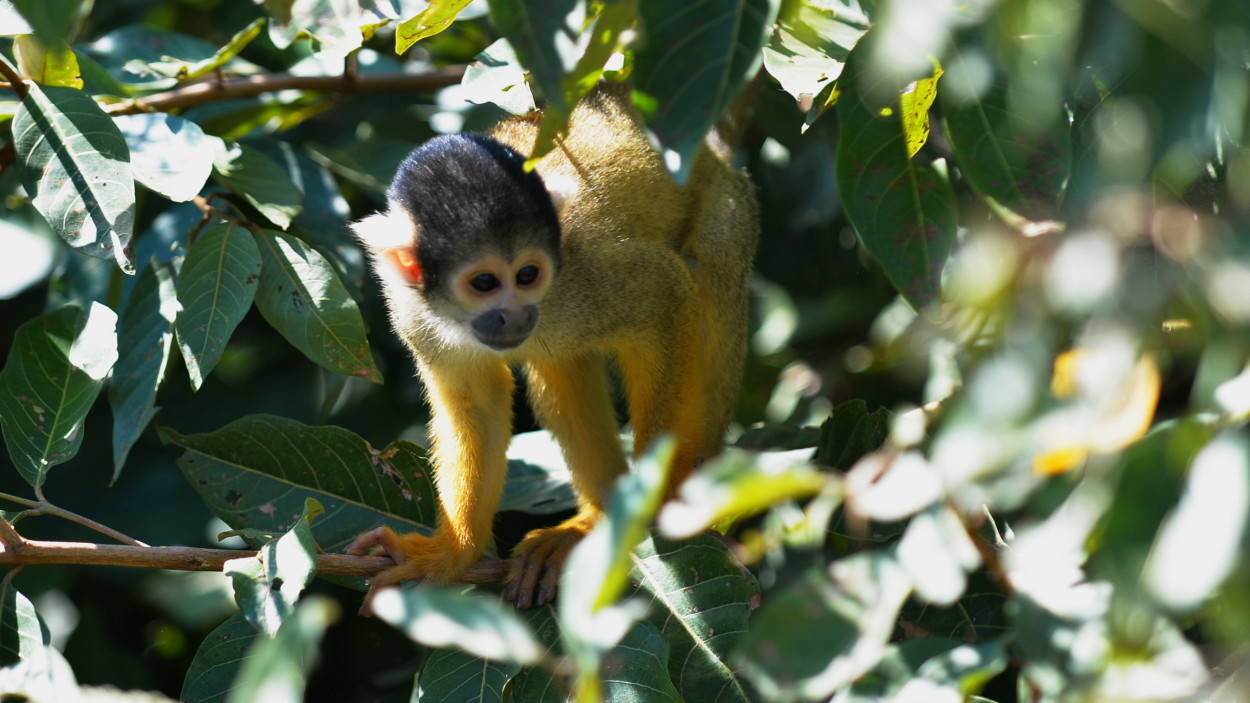
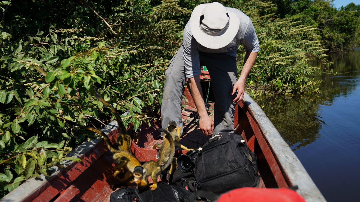
In the coastal thickets, our guide noticed a flock of saimiri squirrel monkeys. These amazingly touching creatures are practically not afraid of people.
During the day, the saimiri are very active and spend most of their free time from food in movement and games, they are very dexterous and graceful jumpers.
Monkeys live in large colonies, the number depends on the density of the forests in which they live: the more impassable the forest, the larger the family inhabits it. They feed on various nuts, fruits and insects, sometimes they destroy the nests of birds. At the same time, the saimiri will not deny themselves the pleasure of stealing something tasty from gape tourists.
And it’s time for us to go further, to the place where freshwater pink dolphins often swim.
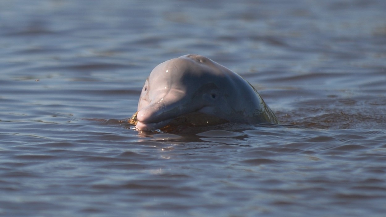
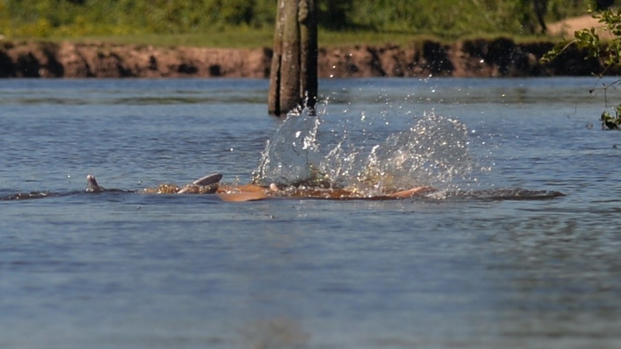
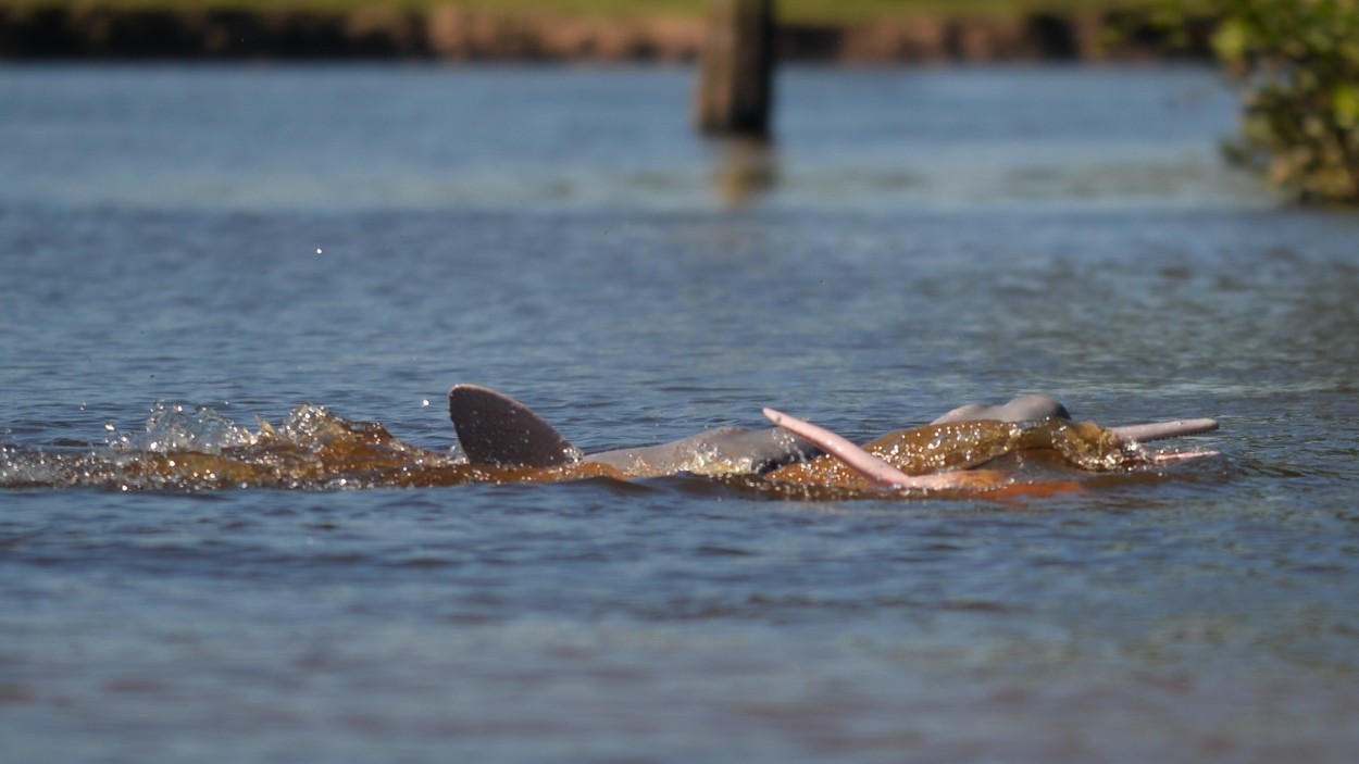
Pink dolphins are extremely rare and belong to the Amazonian river dolphins. Their body coloration changes with age. So young dolphins are pale-gray with a light belly, and adults are very light, with a pinkish or pale blue back and white belly.
Pink dolphins grow up to 180 cm, and their weight can reach 150 kilograms. Moreover, females are noticeably smaller than males.
Unfortunately, these graceful animals, able to maneuver under water with ease, often perish in poachers’ nets. Today it is an endangered species, and it is listed in the Red Book.
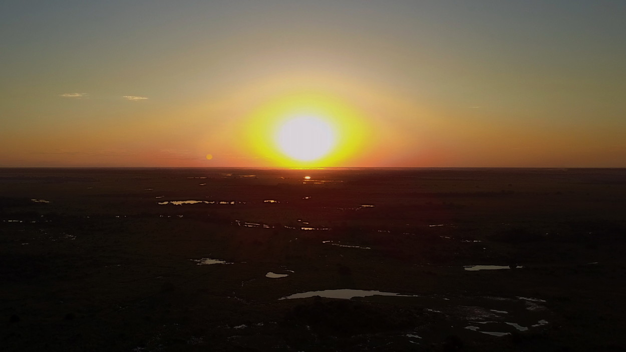
Evening falls. And it’s time for us to say goodbye to this wonderful nature of Madidi National Park. It’s great that there are still amazing places of untouched wilderness on Earth that have not yet been touched by thoughtless human activities.
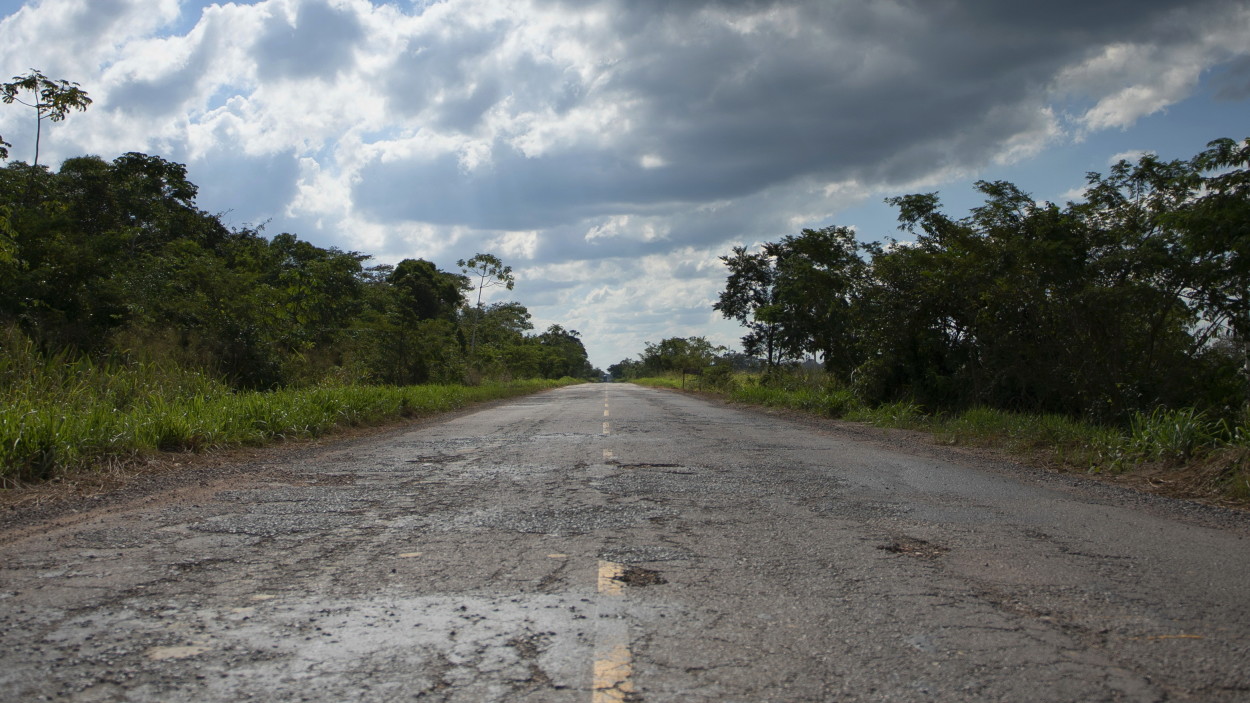
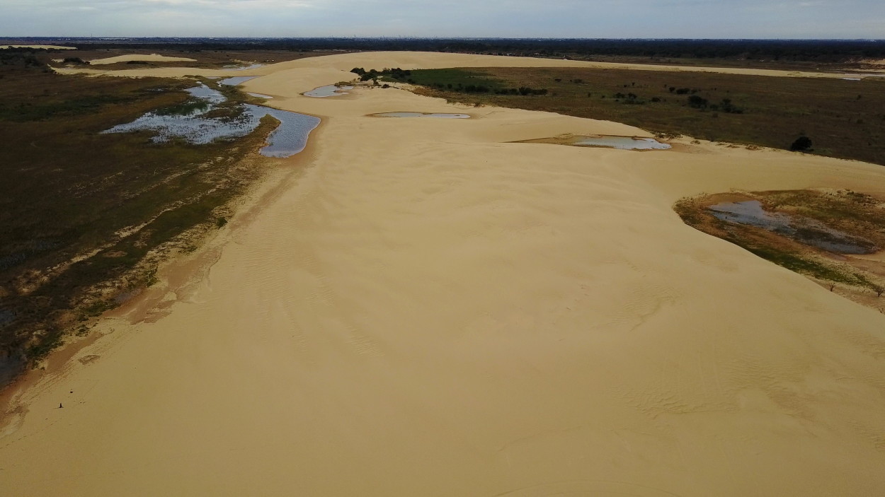
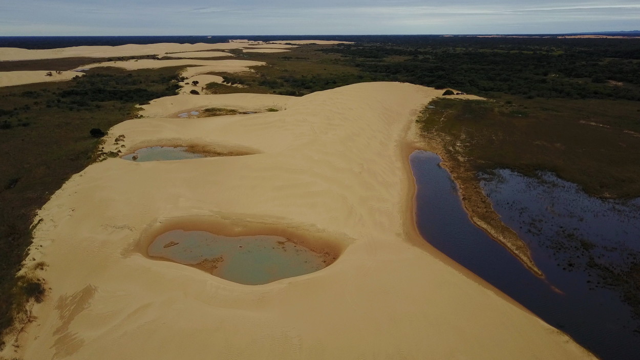
Tomorrow we have to spend the whole day on the road to get to the city of Santa Cruz, in the vicinity of which there is another amazing place – the dunes in the middle of the tropical forest.
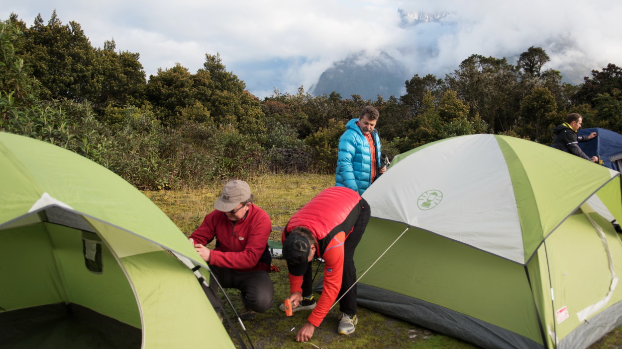
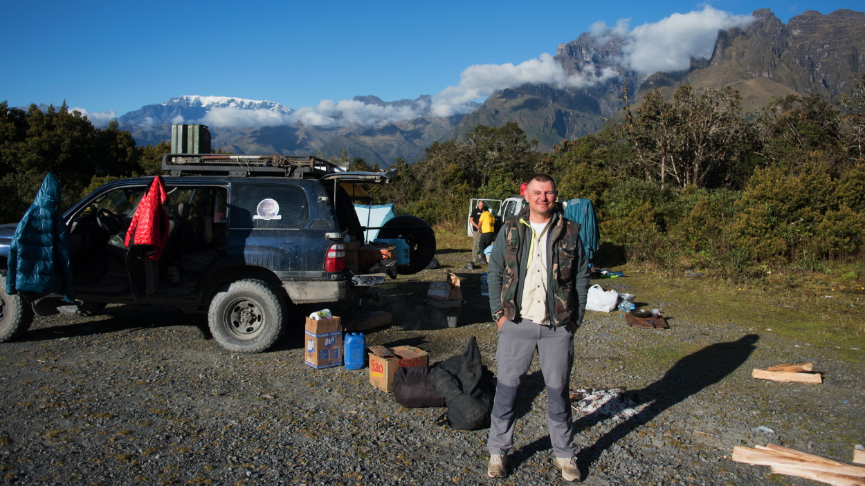
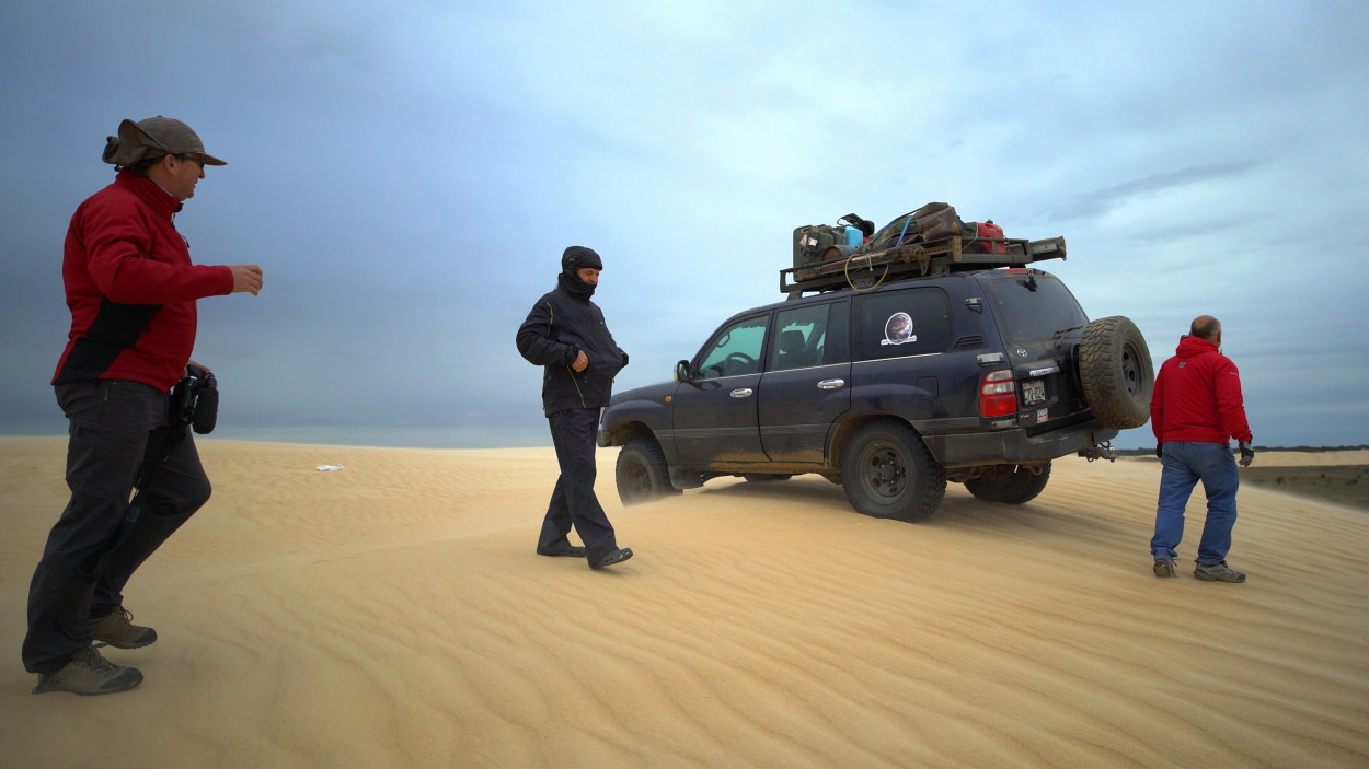
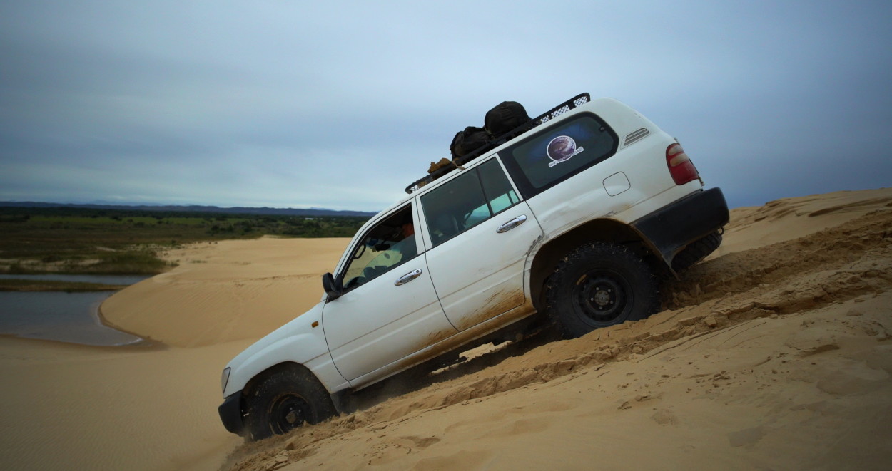
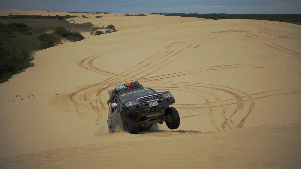
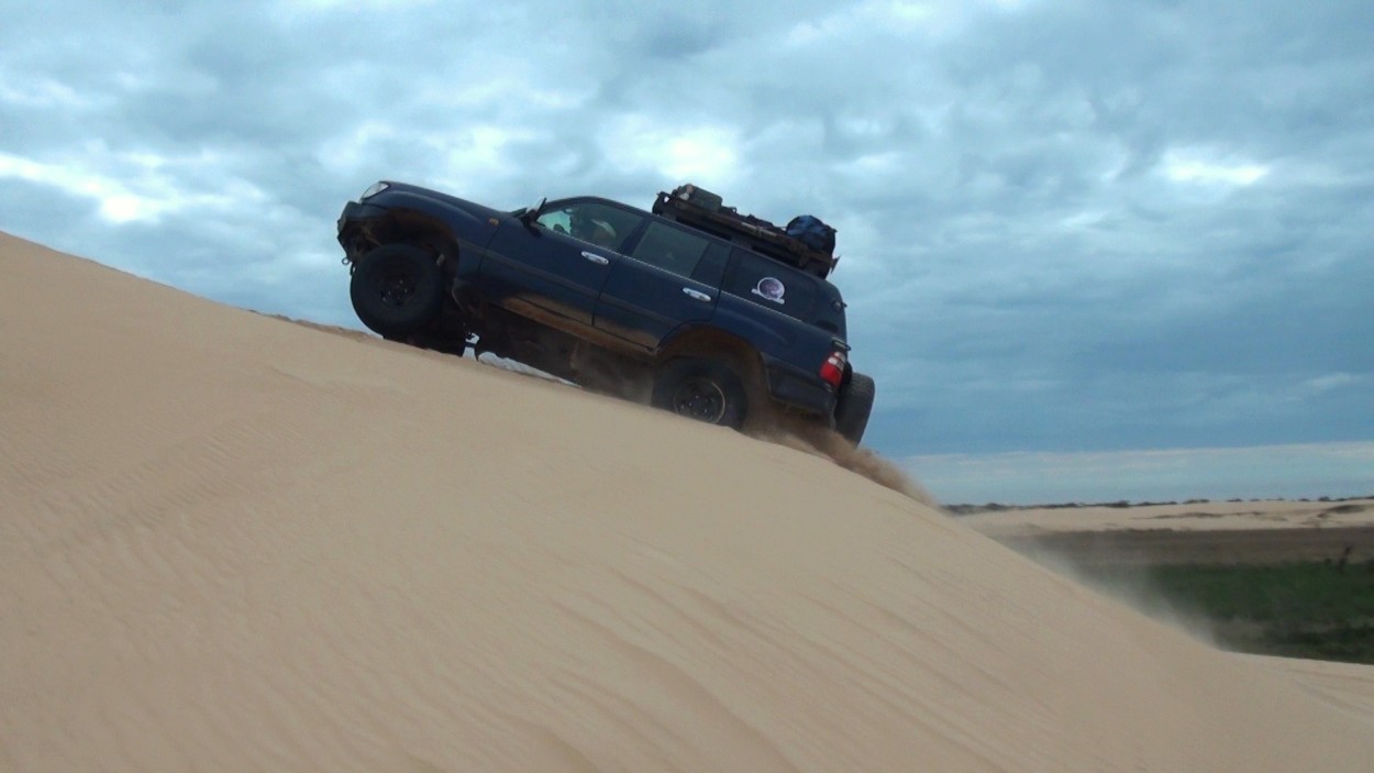
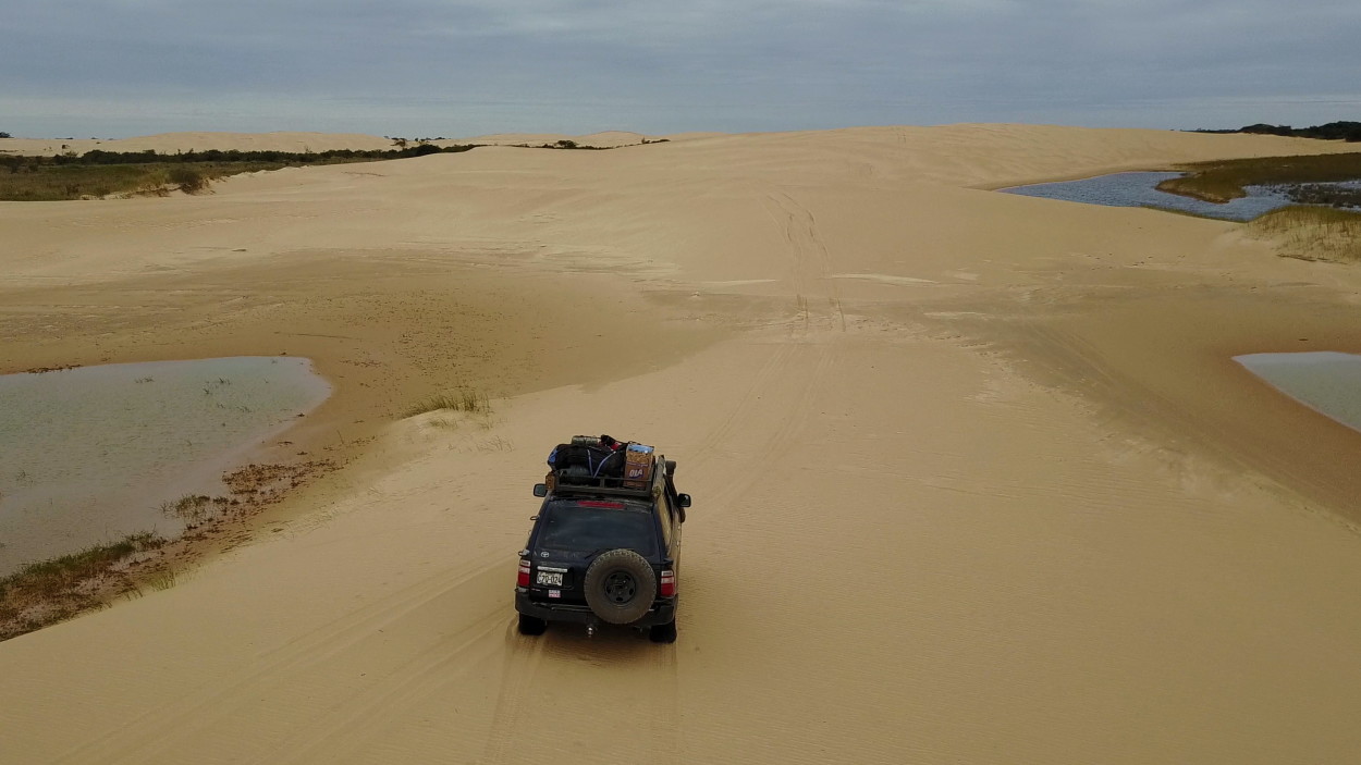
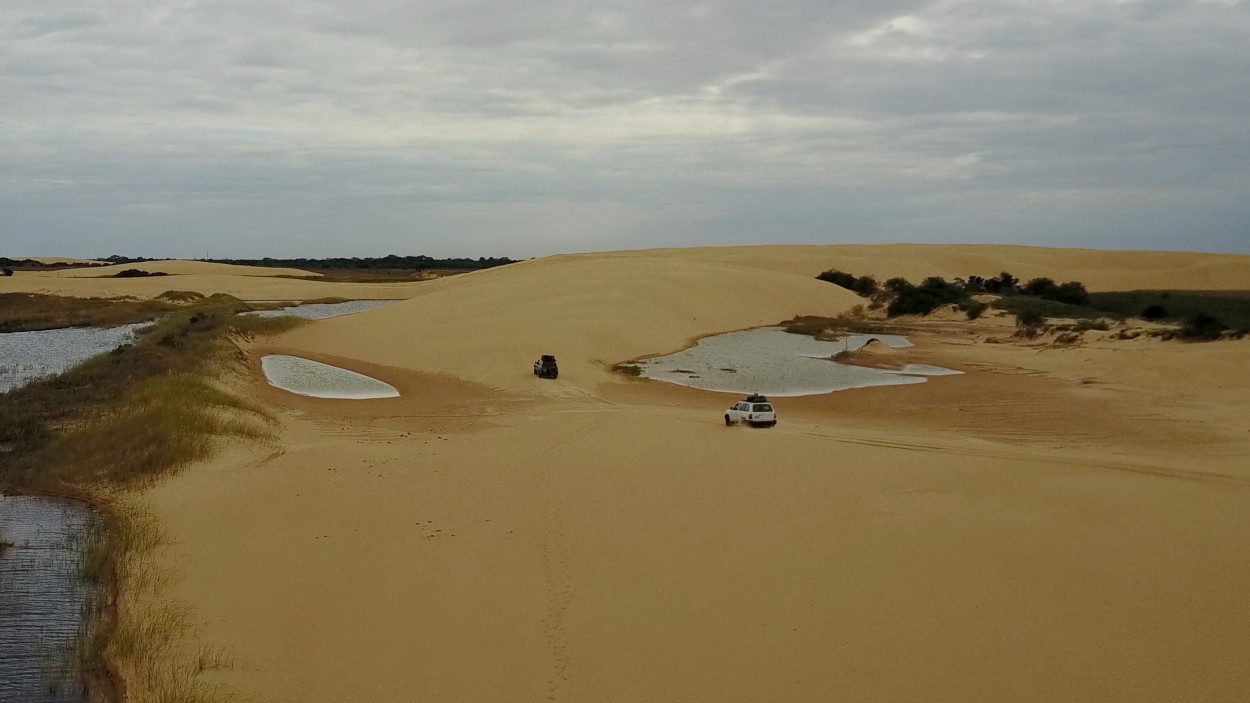
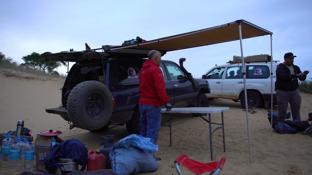
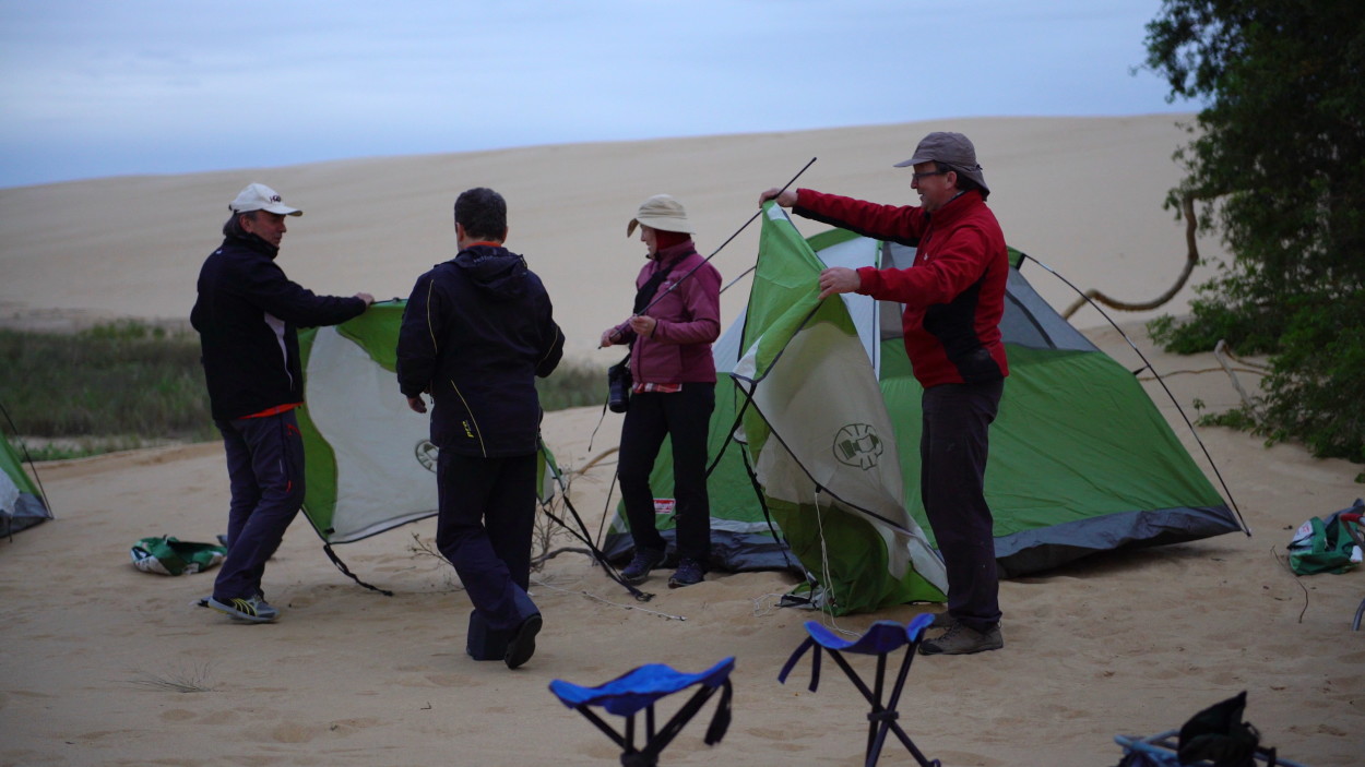
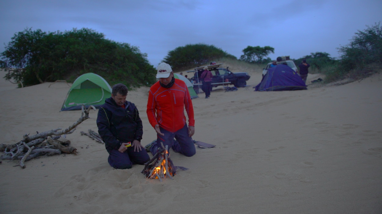
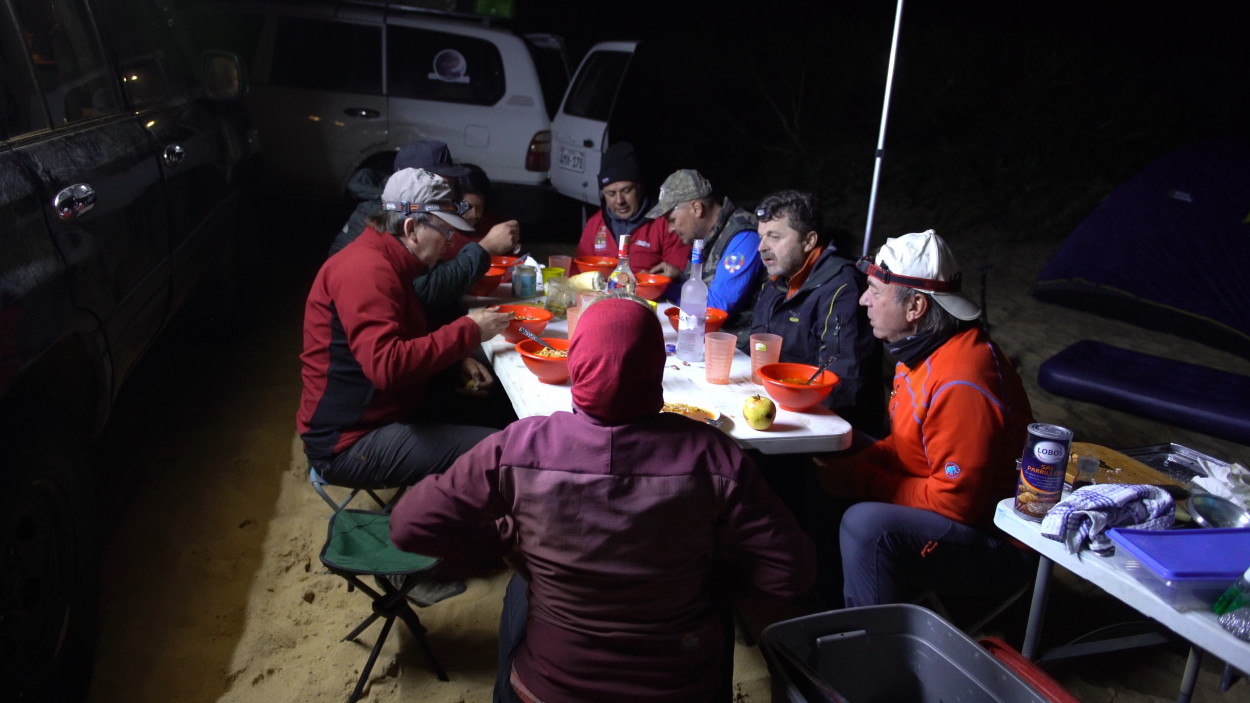
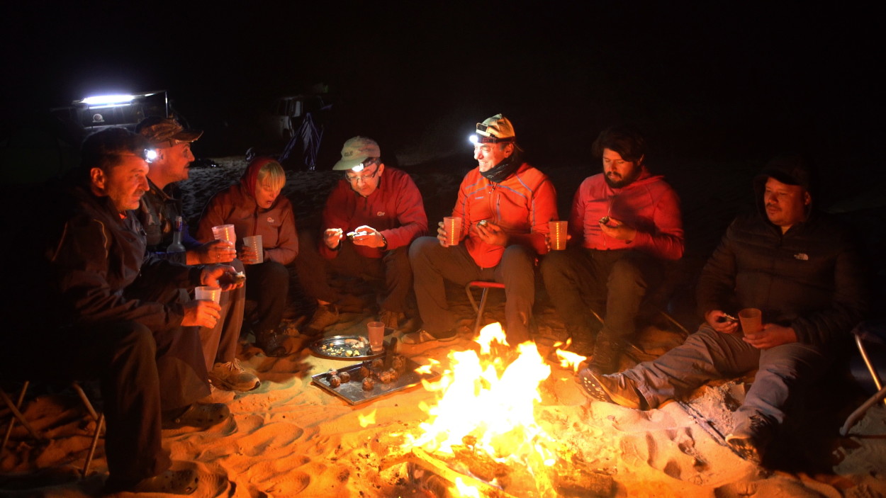
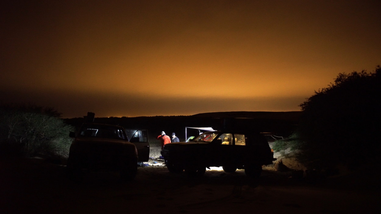
Having received great pleasure from extreme driving, we decided to set up our camp in a picturesque place away from civilization, where the dunes connect with the rainforest. And, as always, everyone is busy preparing the camp arrangement and a celebratory dinner in honor of the arrival of a new member of our expedition, Alberto!
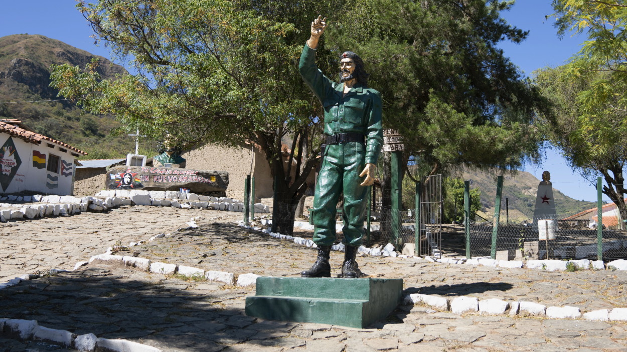
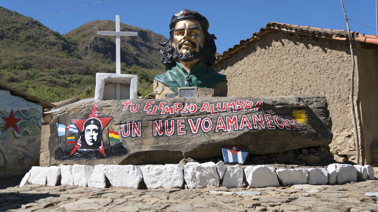
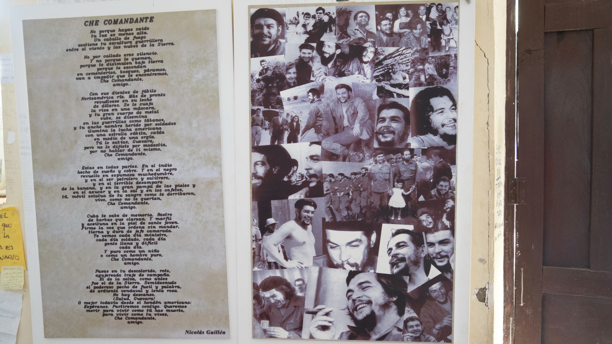
With the arrival of Alberto, our team became even more united, and his experience as a Dakar rally instructor gave us confidence in overcoming any difficulties, so moreover, tomorrow we again go to the mountainous part of Bolivia to the very “Heart of the Andes”. And there, at an altitude of over 4 thousand meters above sea level, we have to overcome the most extreme part of our route. And of course we will visit the town of Valle Grande and the village of La Higuera, which is associated with the life and death of the legendary commander Che Guevara. But this is tomorrow, and today we are happy to share our experiences with our Peruvian friends …
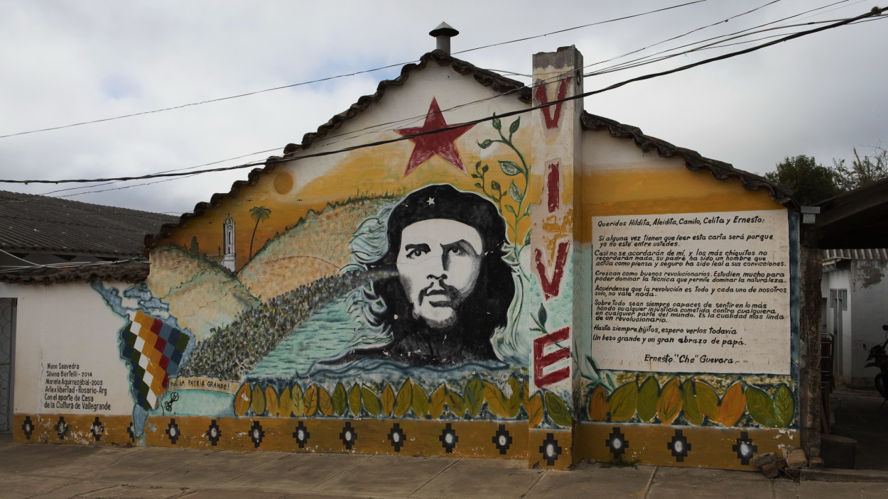
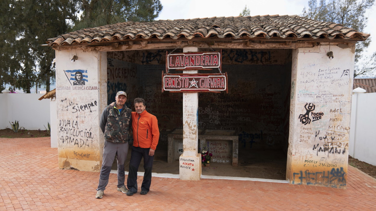
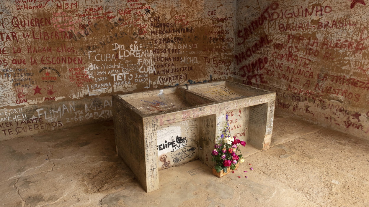
Finally we got to the town of Valegrande. It was here, in the city hospital, that the body of the executed commander Che Guevara was brought for identification.
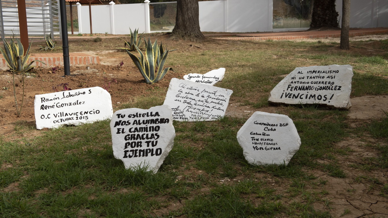
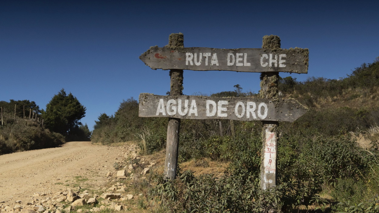
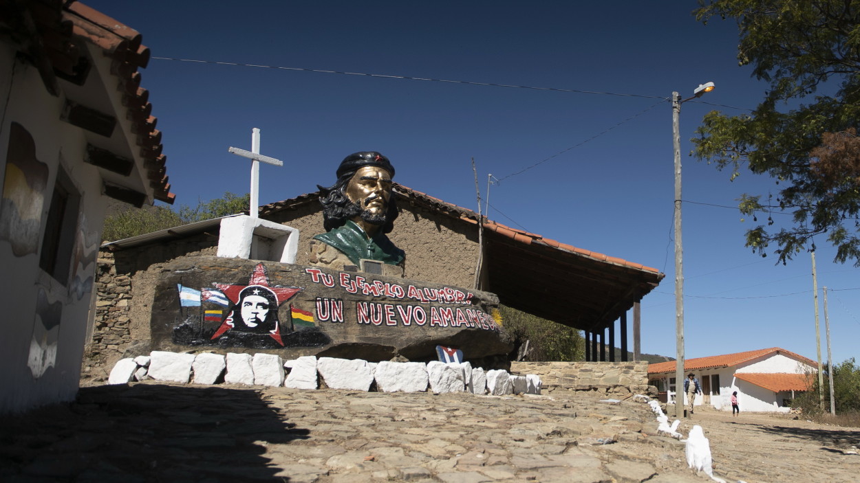
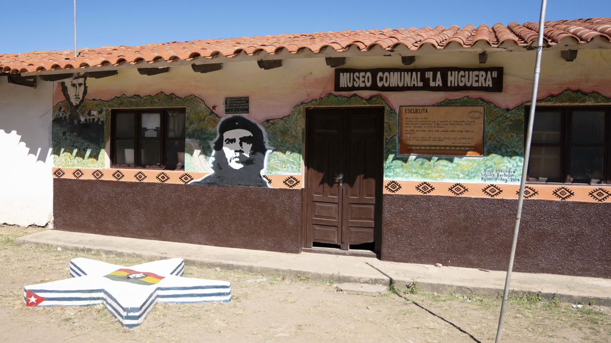
Further, along the serpentine road of the mountain road “Ruta del Che”, we go to the village of La Higuera, where the commander Che Guevara was captured and shot.
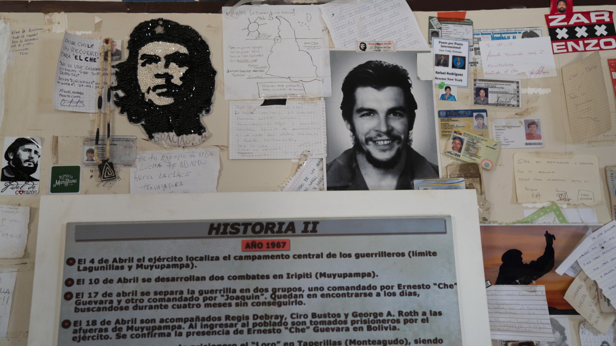
In the school where he was shot, local residents organized a museum.
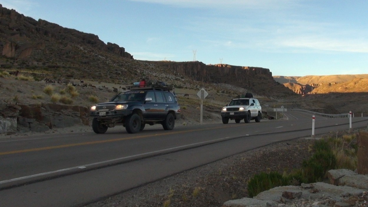
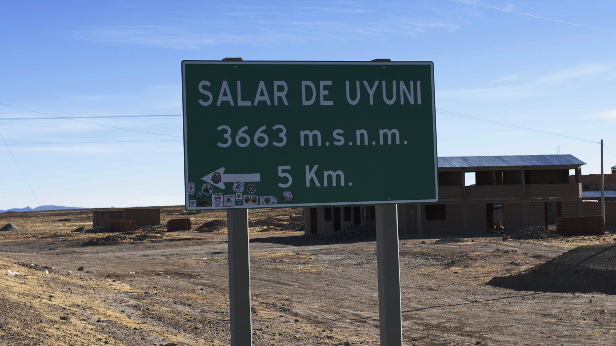
Today we have to spend the whole day on the road to get to the town of Uyuni, lost among the mountain ranges of the Andes.
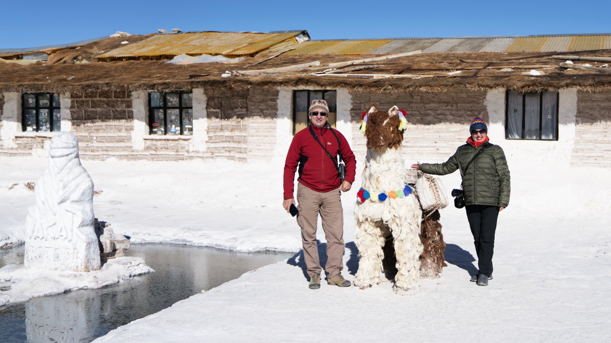
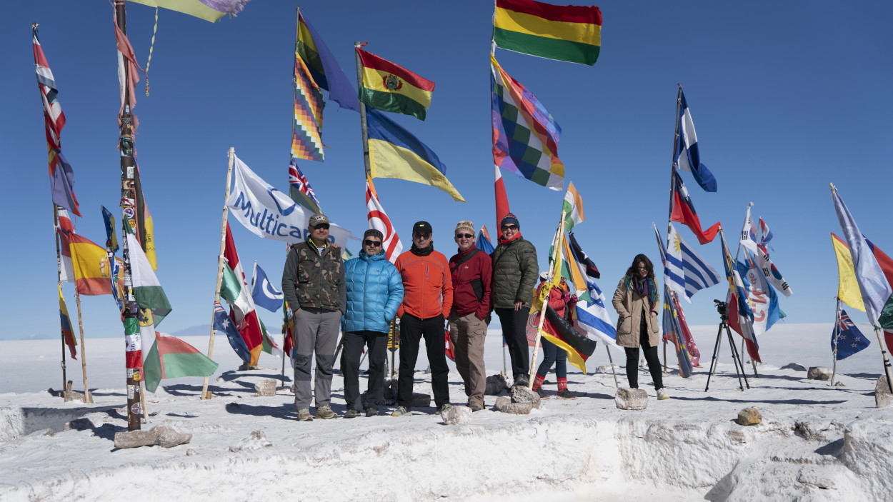
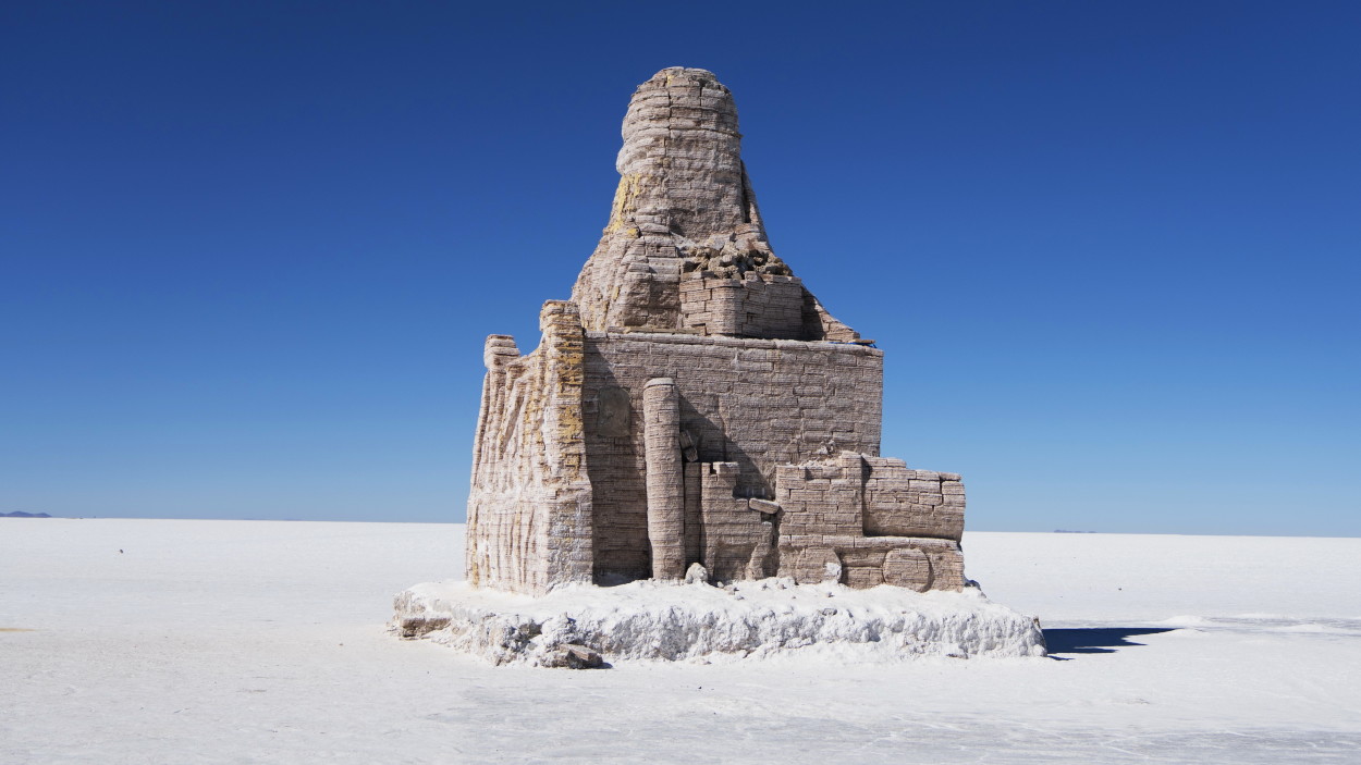
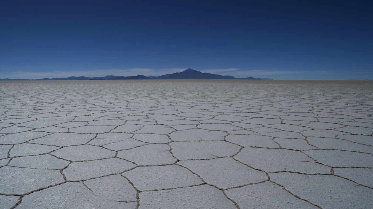
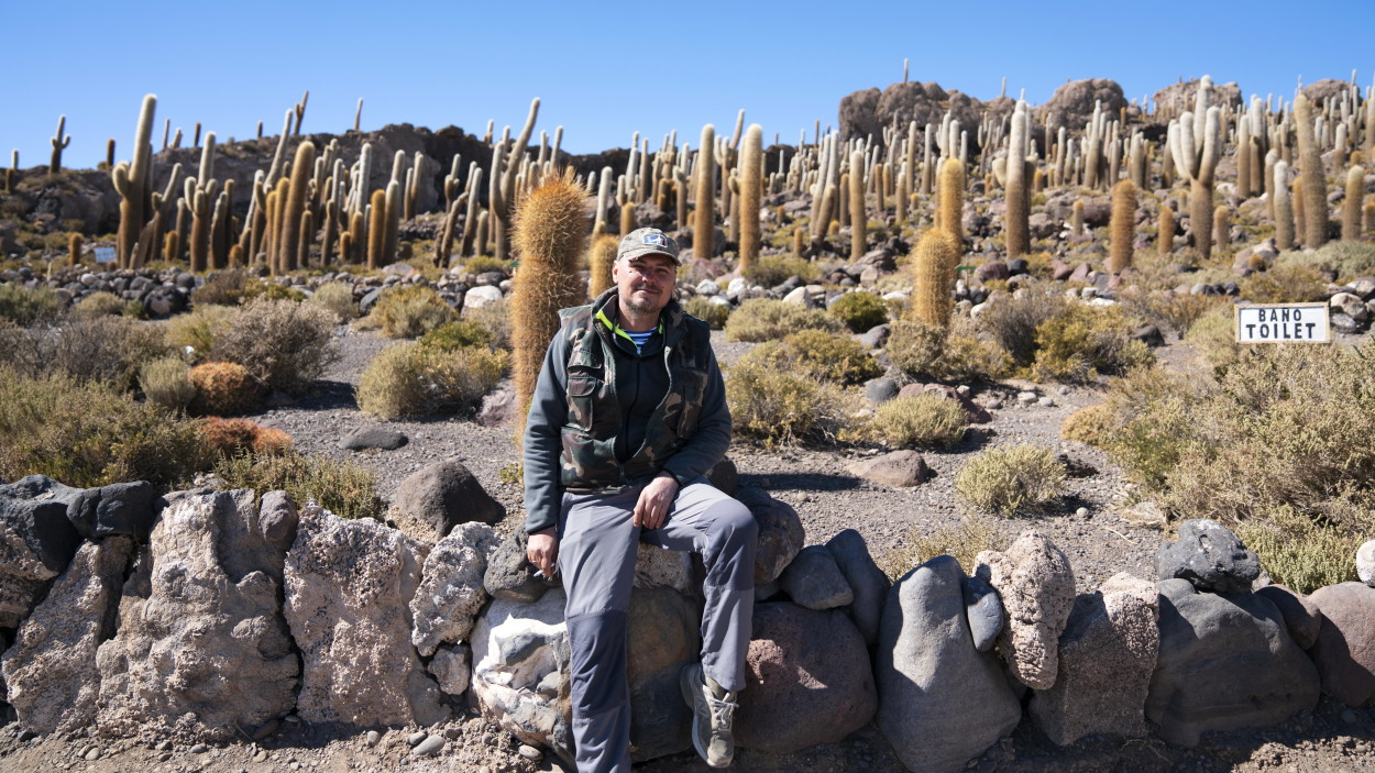
Here is perhaps one of the most famous natural attractions of Bolivia – “Saline Uyuni”. This dry salt lake is located at an altitude of 3650 meters above sea level and attracts tourists from all over the world with its unusual beauty.
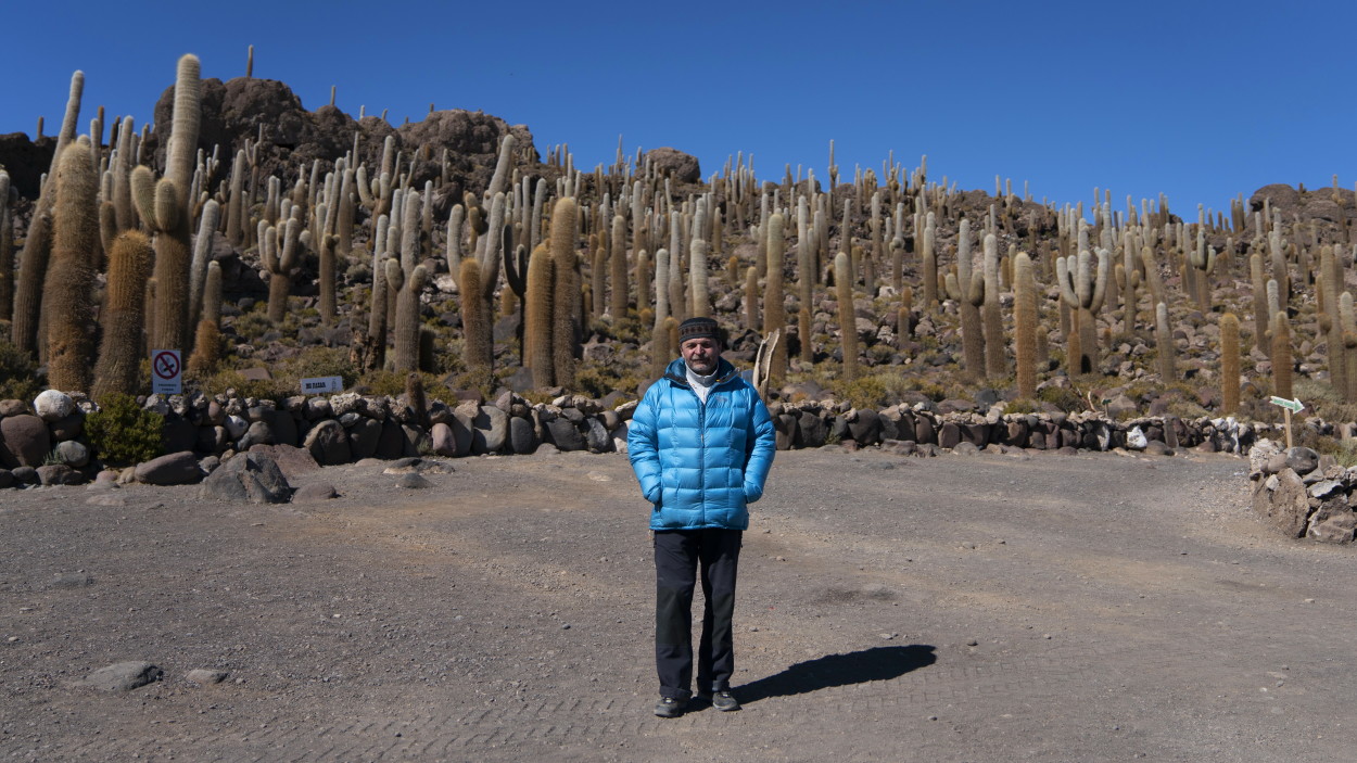
Unreal beauty dry lake, ancient cacti growing on the coral, distinctly rounded horizon and endless salt desert islands gave an unbelievable impression.
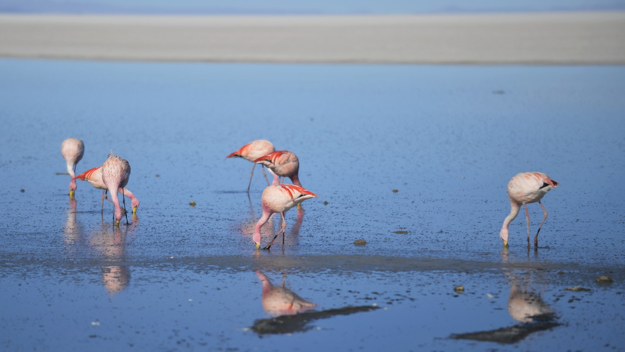
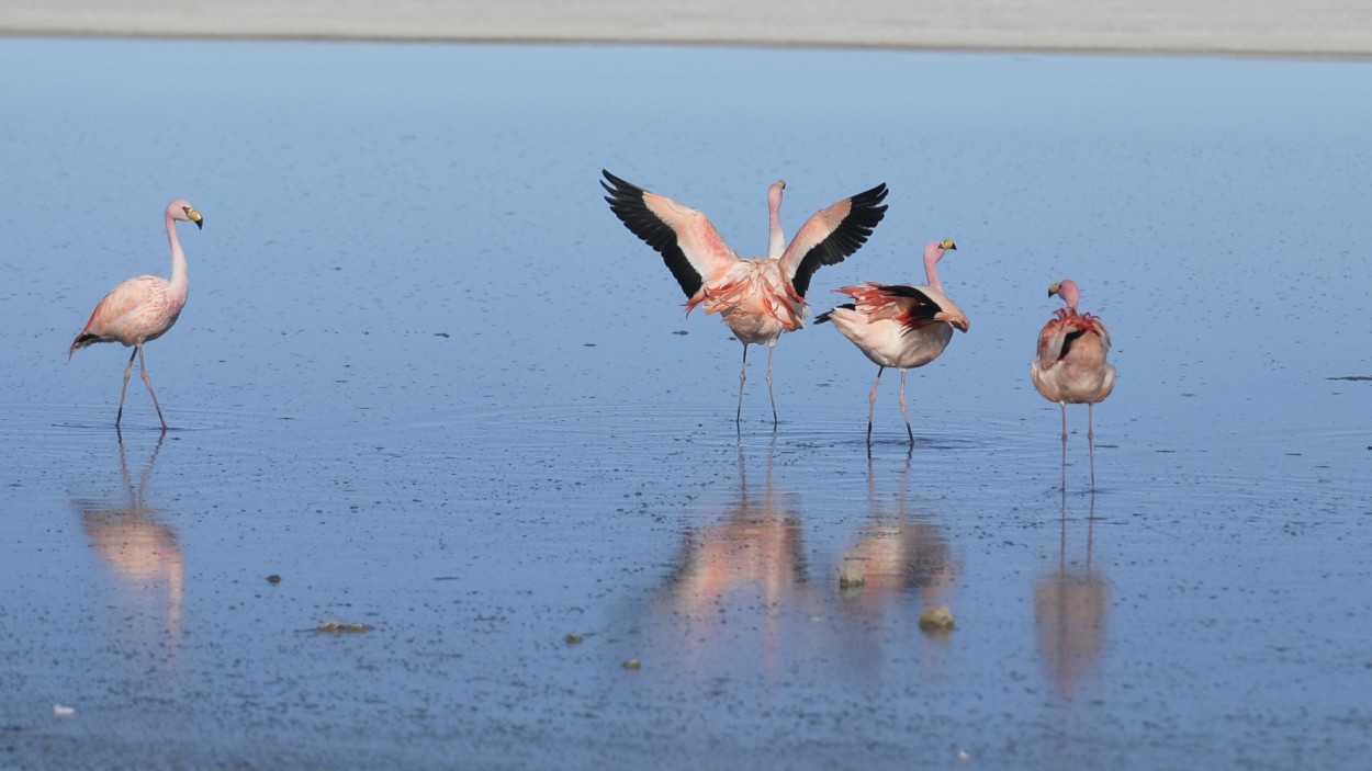
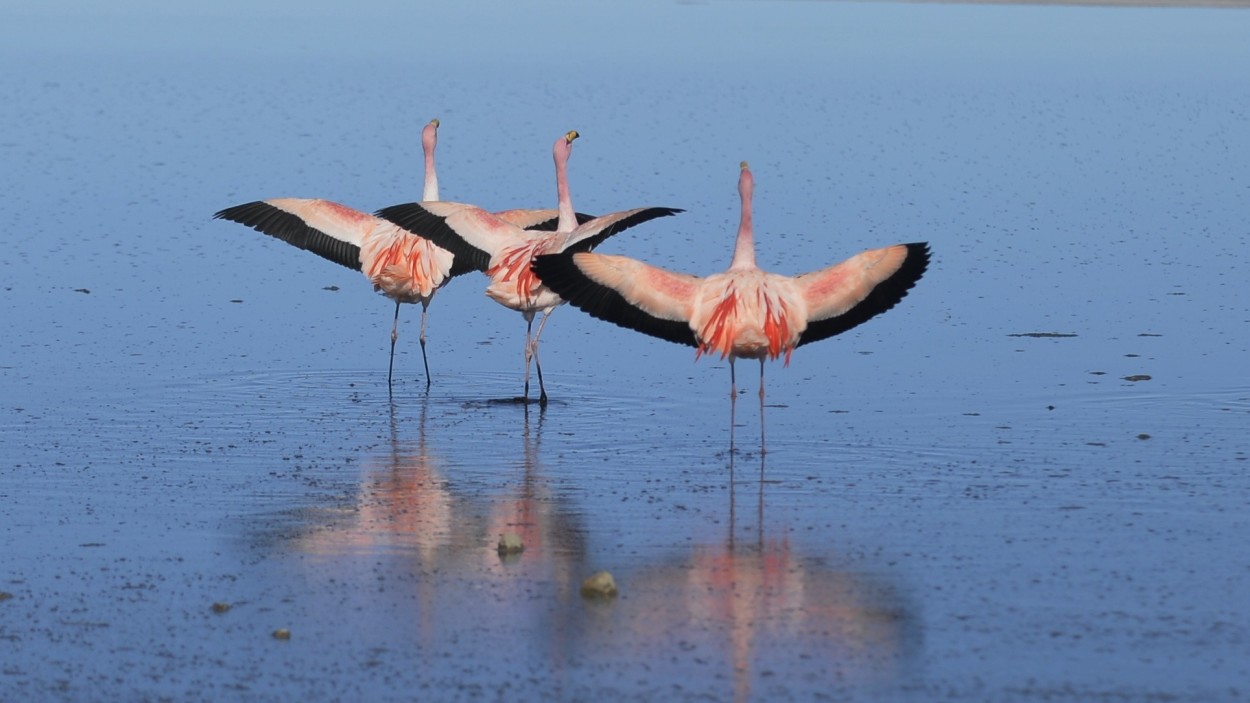
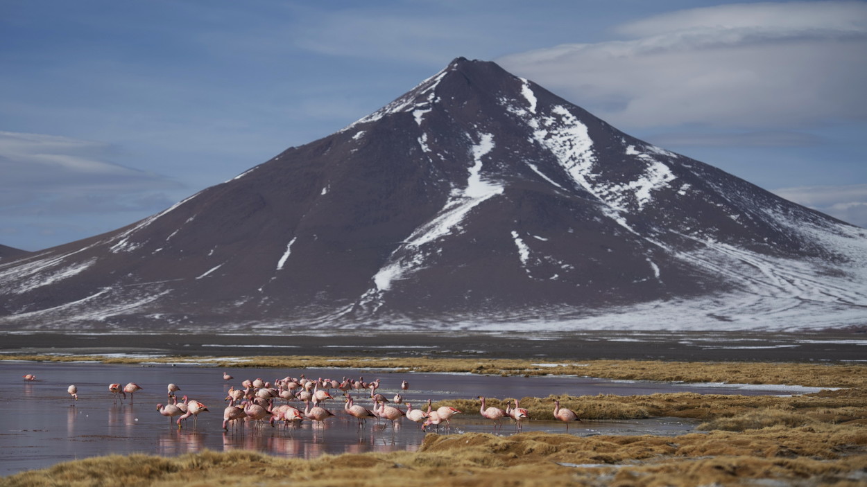
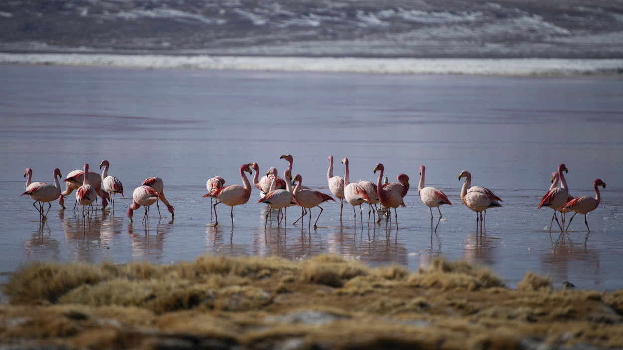
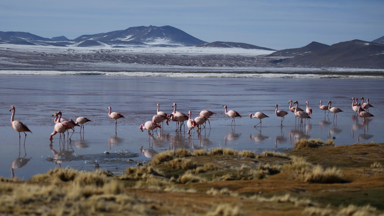
And, of course, we could not pass by pink flamingos that took a fancy to this alpine lake.
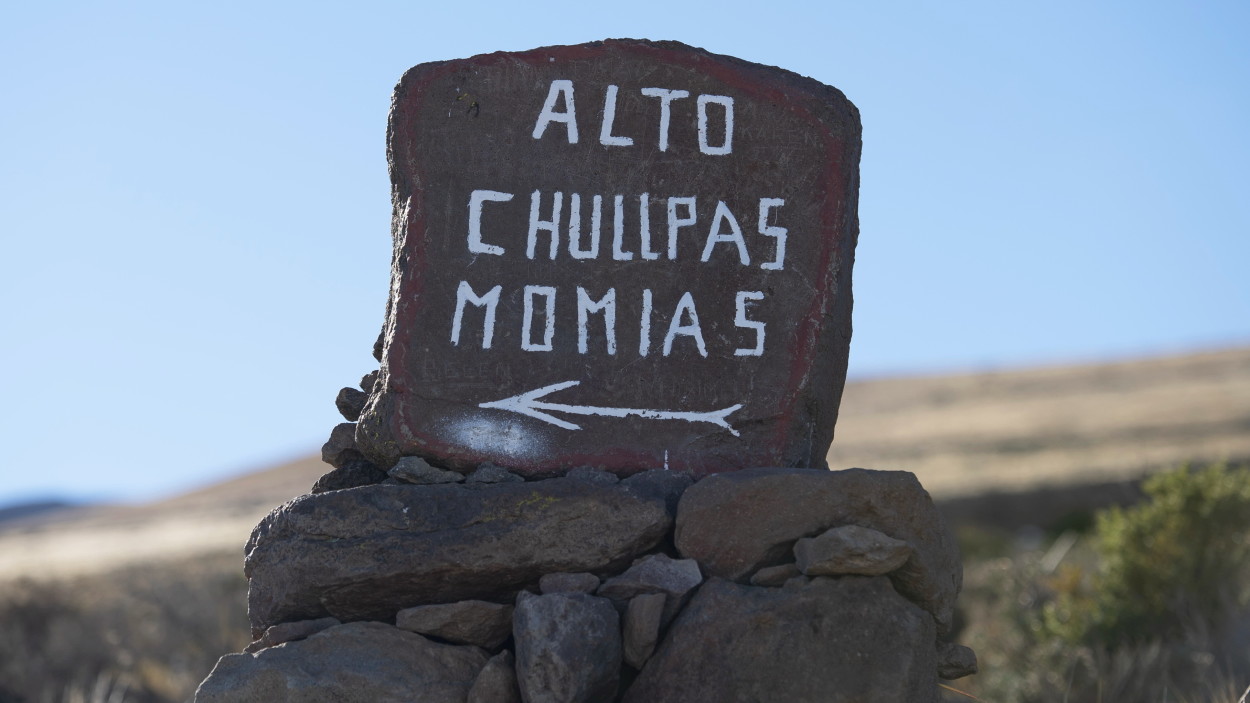
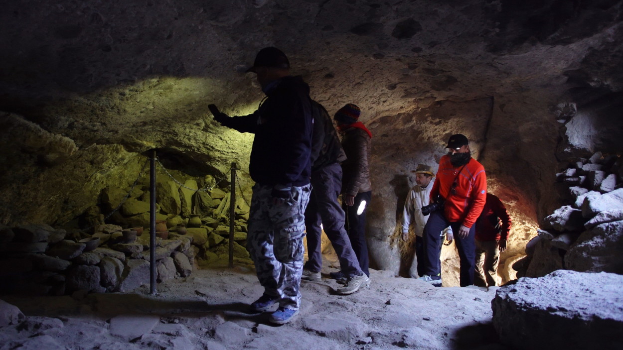
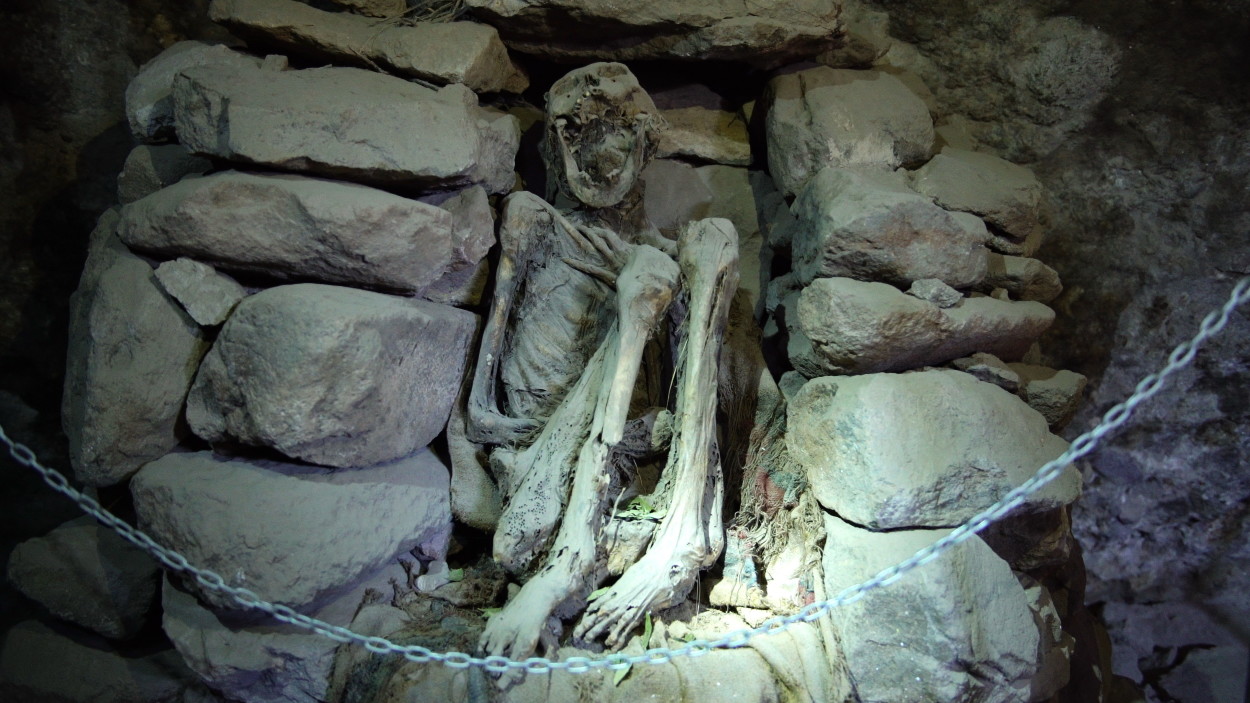
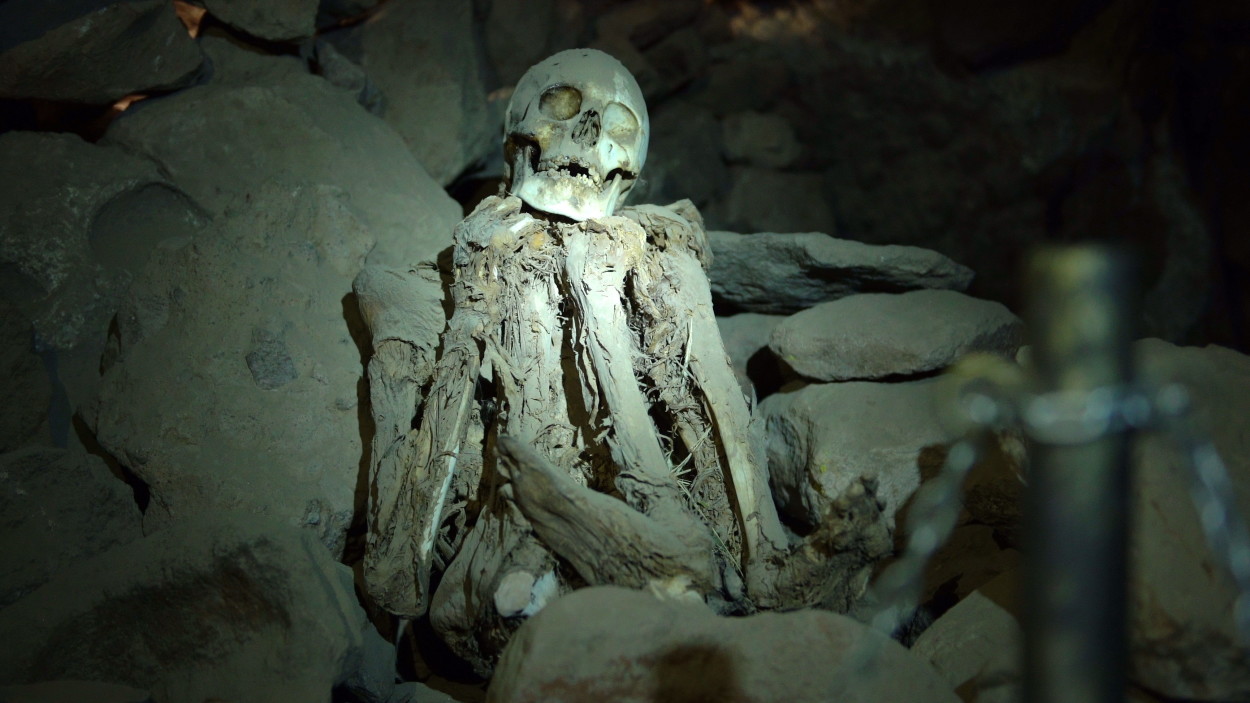
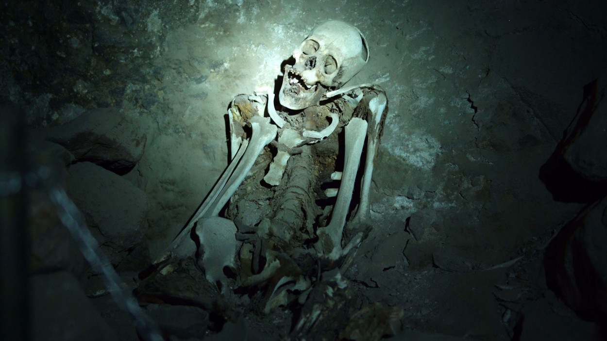
And it’s time for us to move on! Through the snow-white desert, we head to the northern coast of Lake Uyuni, where at the foot of the extinct volcano Tunupa there is a small cave, in which the ancient mummies of the Aymara Indians are preserved.
And again in a way!
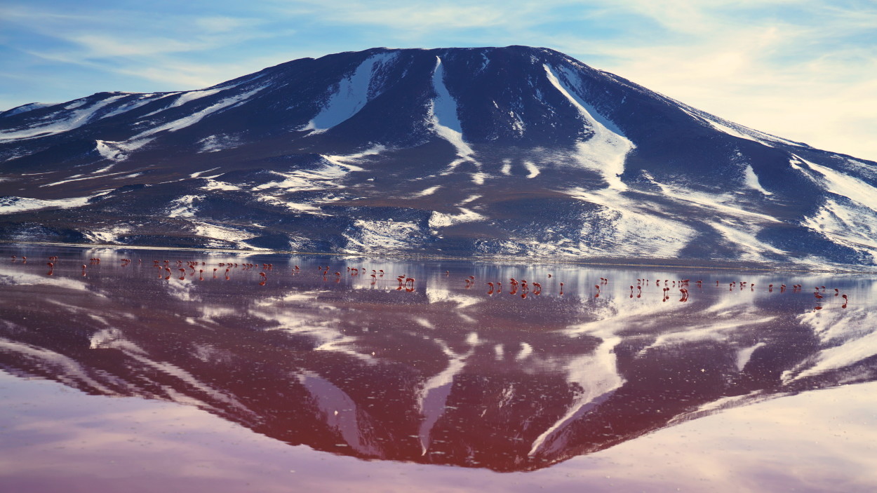
Today we have to cross the high-mountainous desert plain of the Altiplano to get to another wonder of Bolivia’s nature – the Colorado lagoon or as it is also called the Red Lagoon.
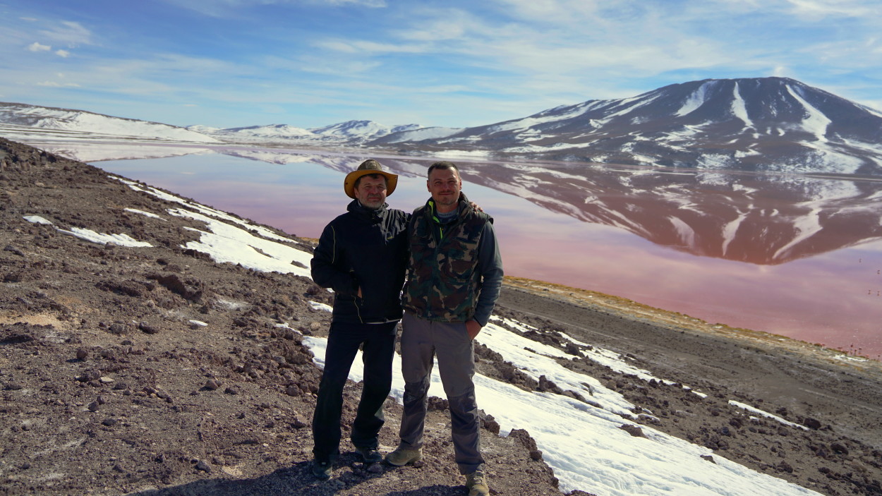
Yes, perhaps this is one of the most amazing wilderness places we have been able to visit! Fascinated by this marvelous beauty, we spent the whole day in the lagoon, since the weather was very favorable to us!
Morning has come! And it’s time for us to go!
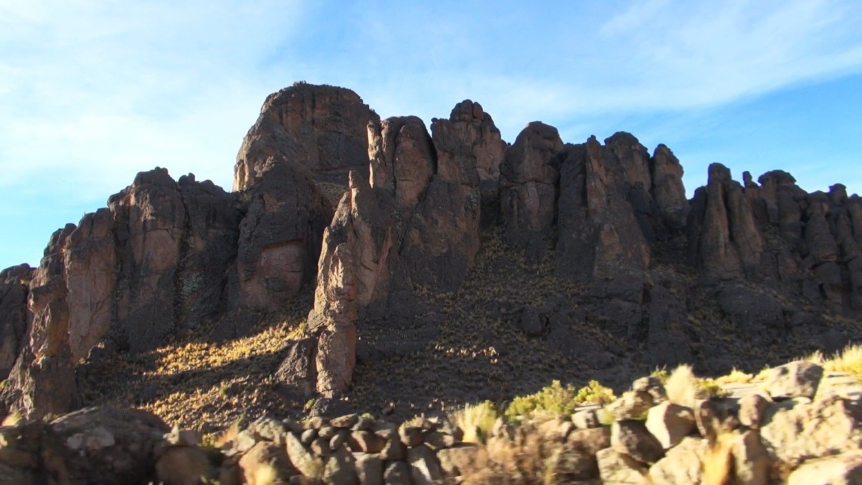
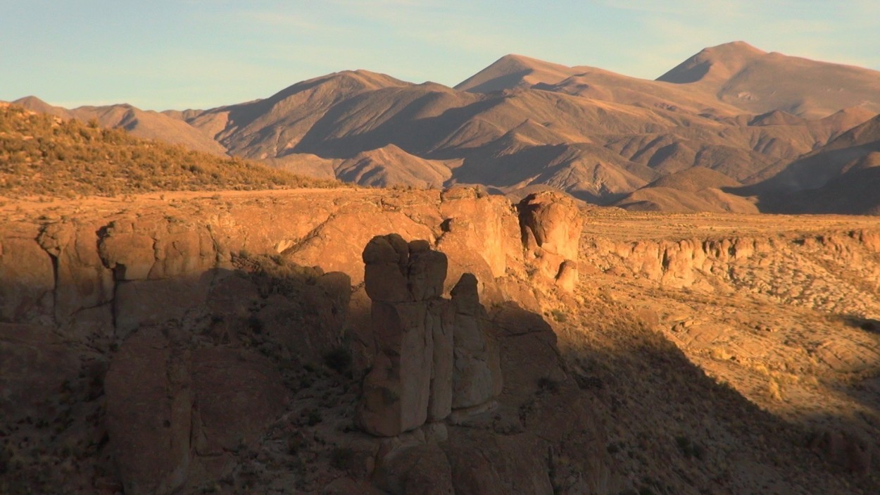
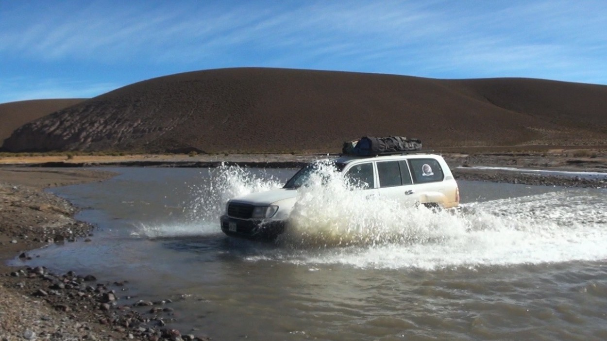
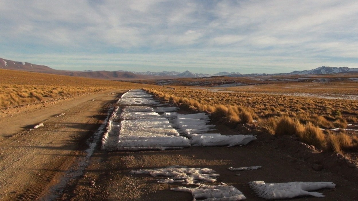
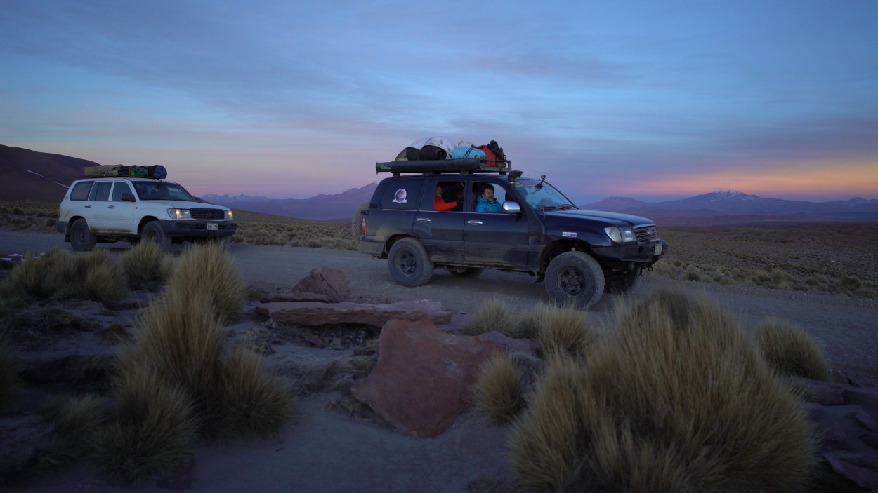
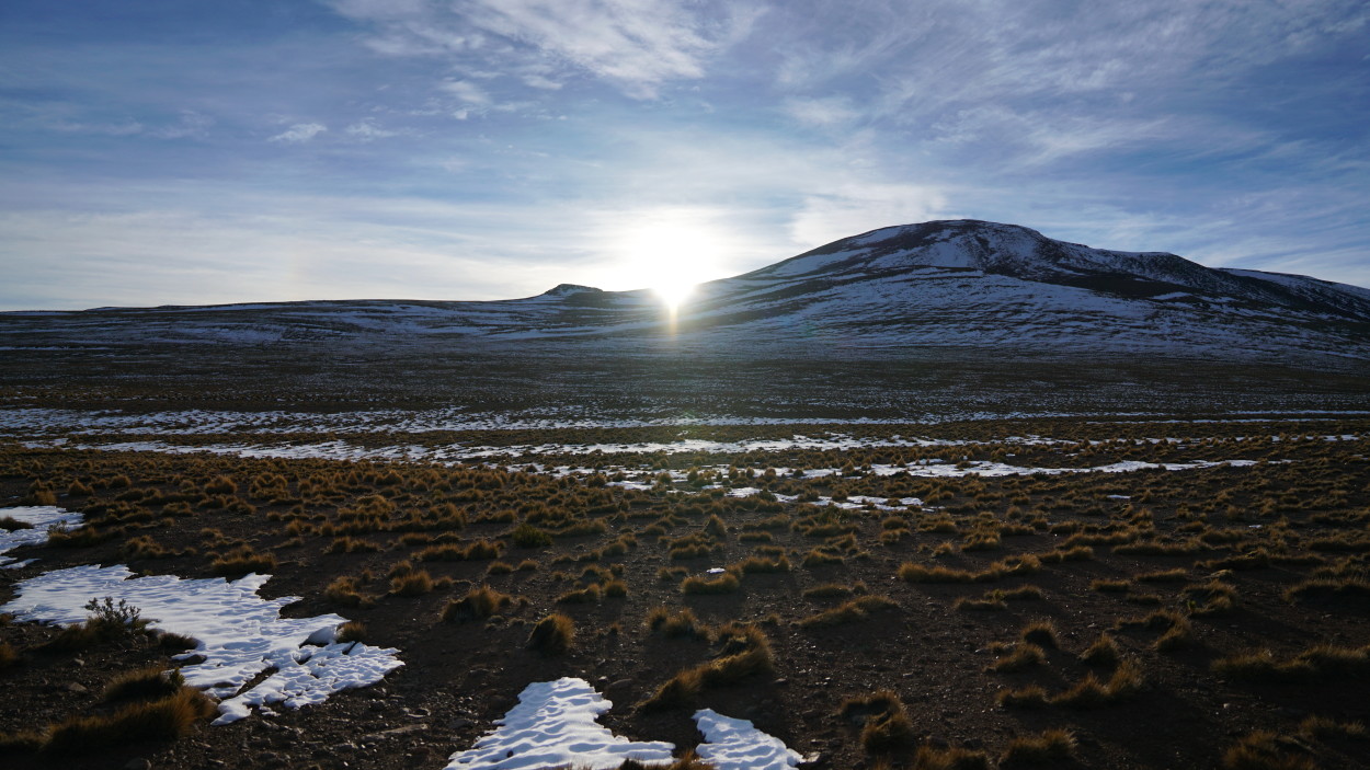
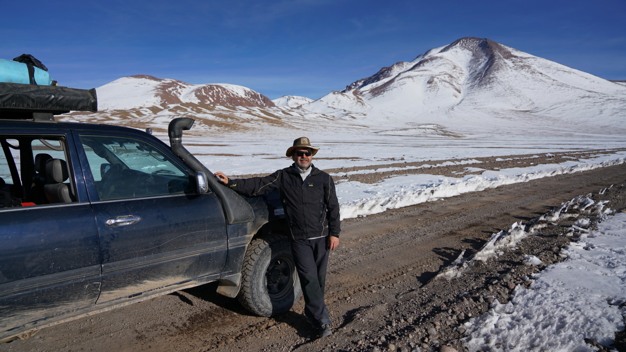
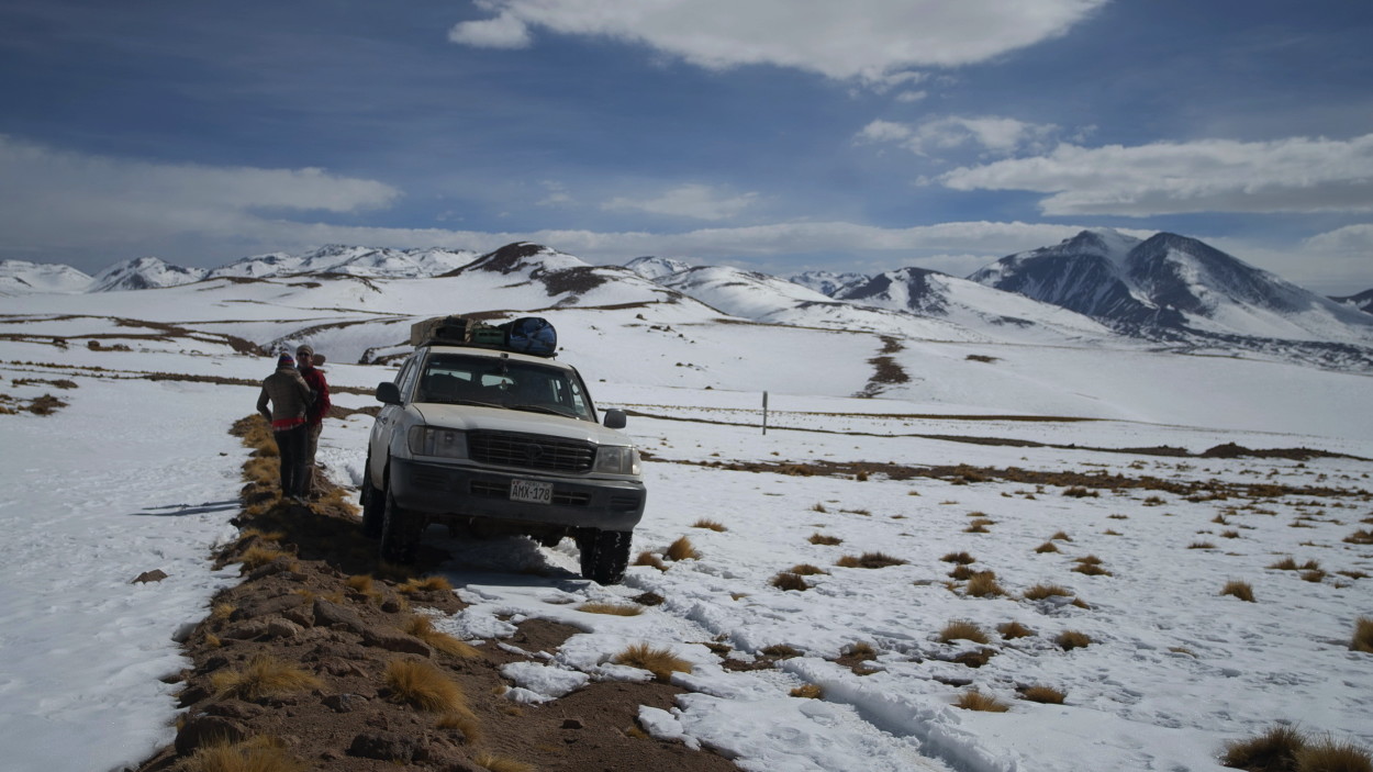
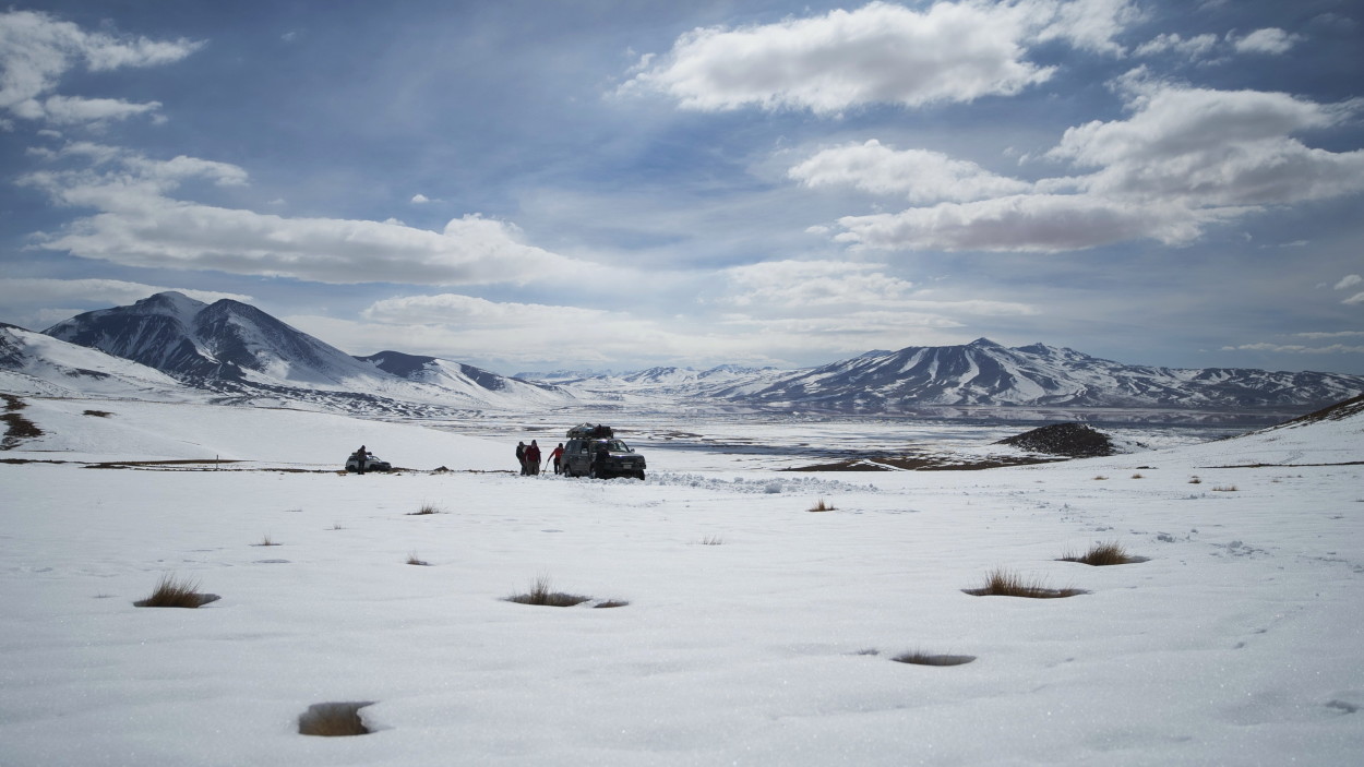
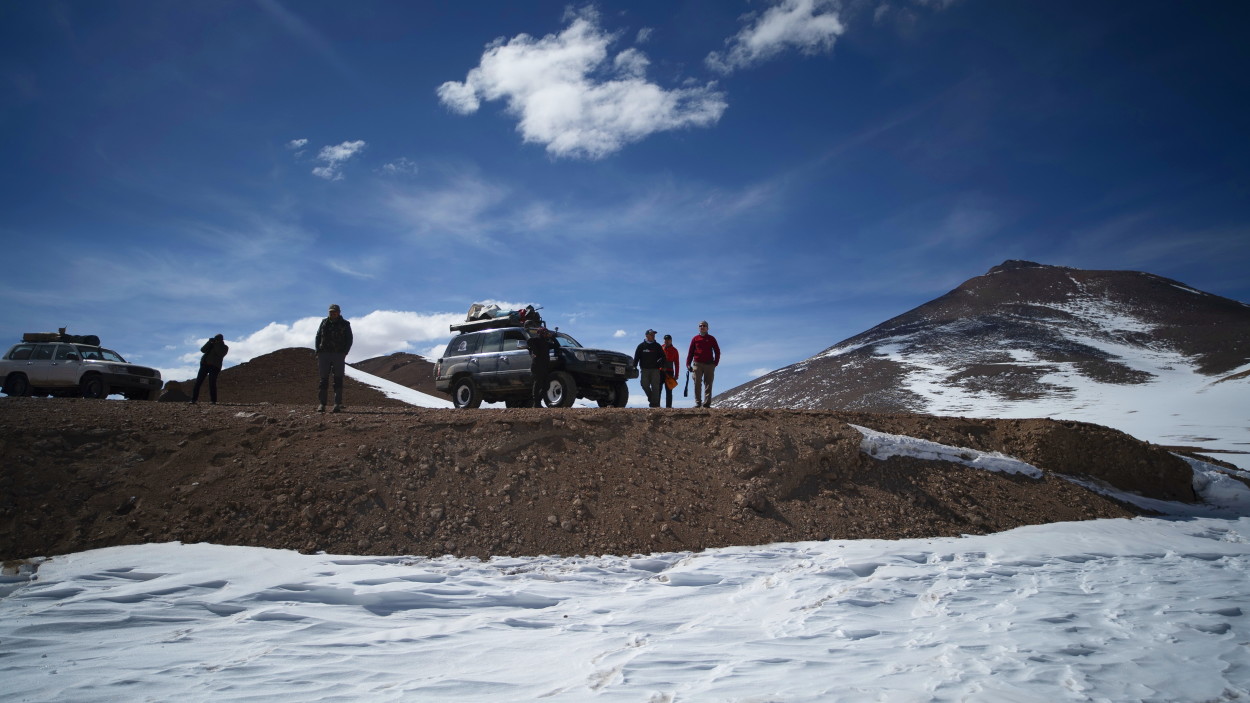
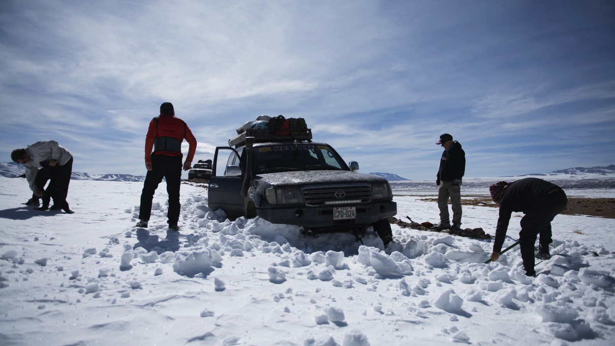
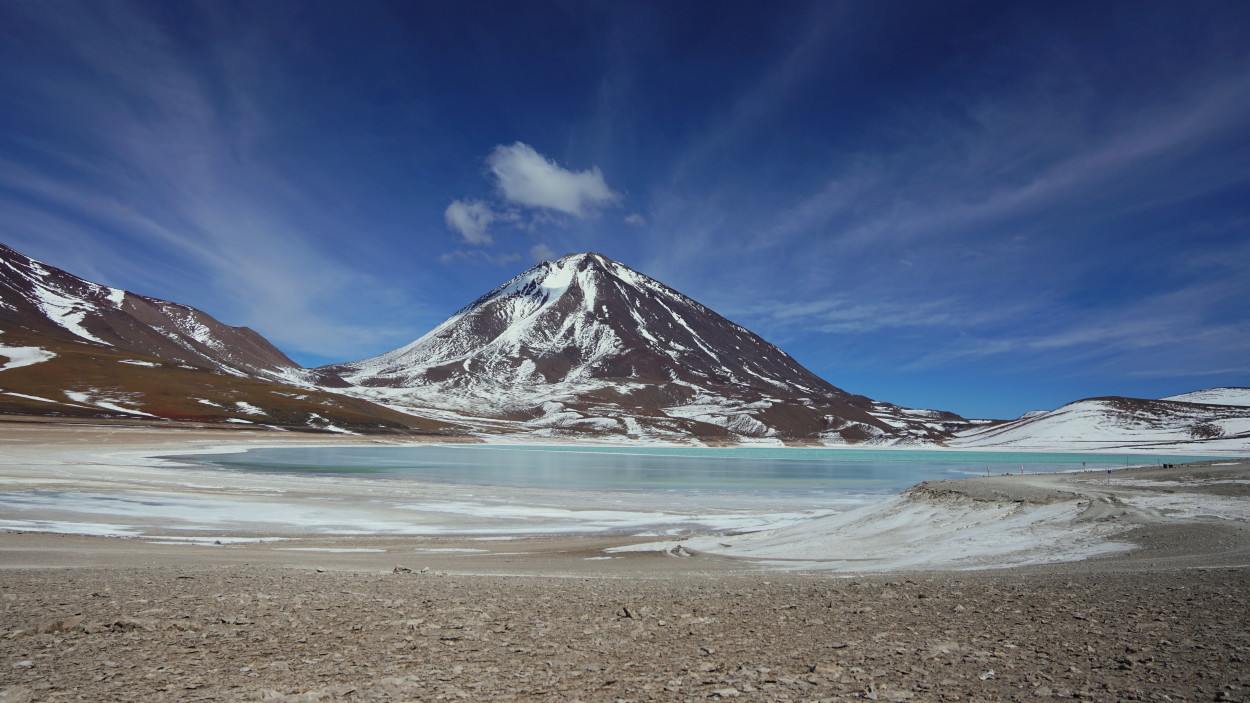
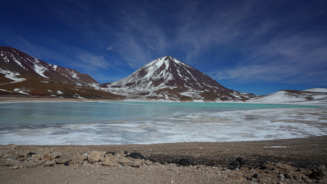
Today we have to overcome the most difficult part of our route, a snow-covered pass over the Andean ridge, which is located at an altitude of over four and a half thousand meters above sea level, and leads to another amazing place Bolivia – Green Lagoon. Alberto said that the road would be difficult, but we could not even imagine how much!
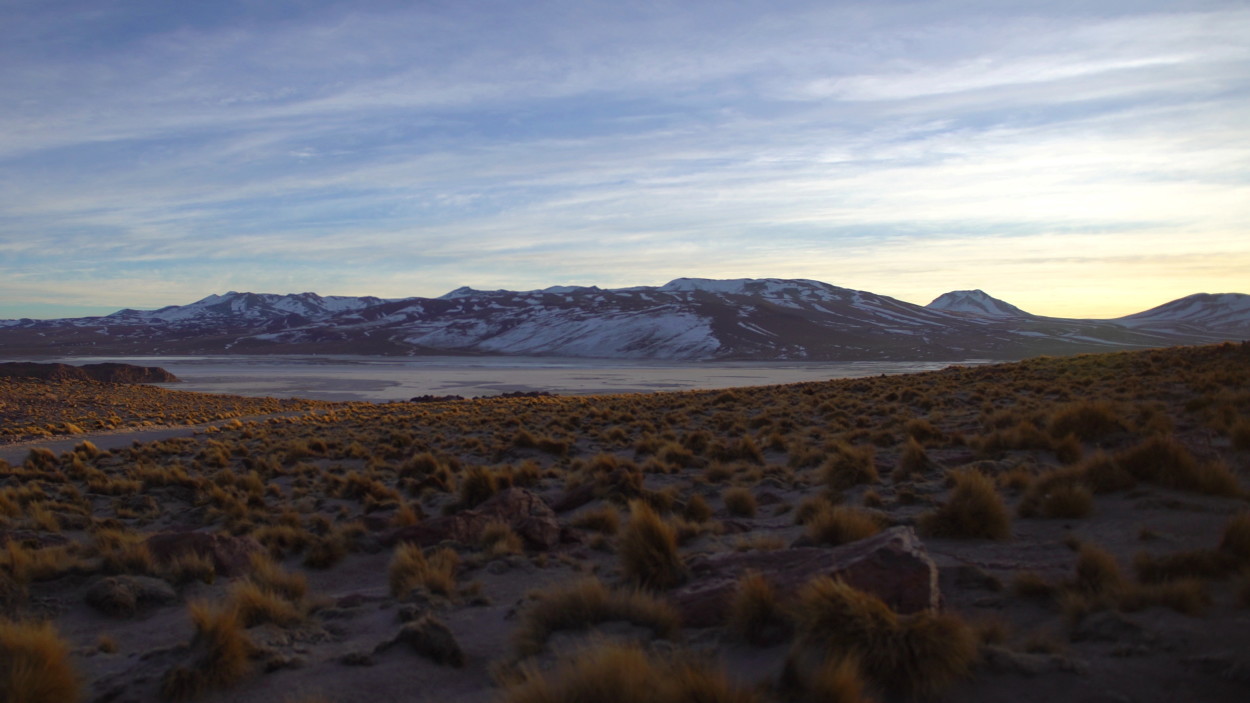
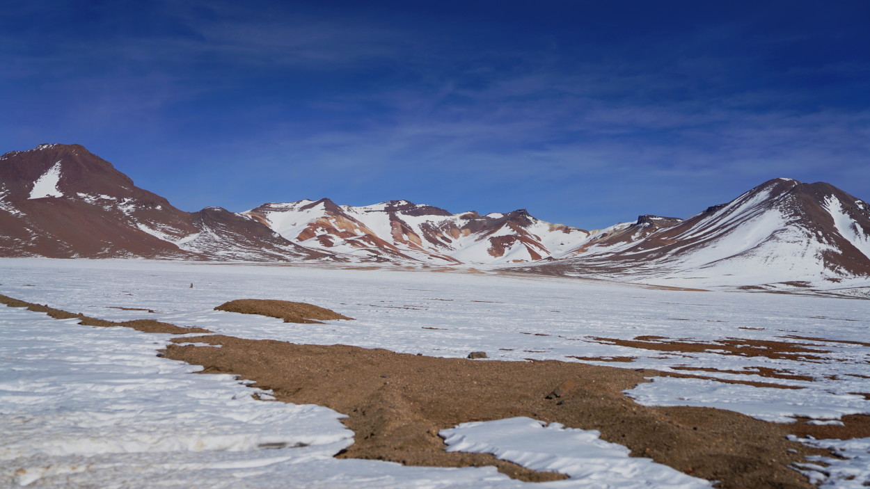
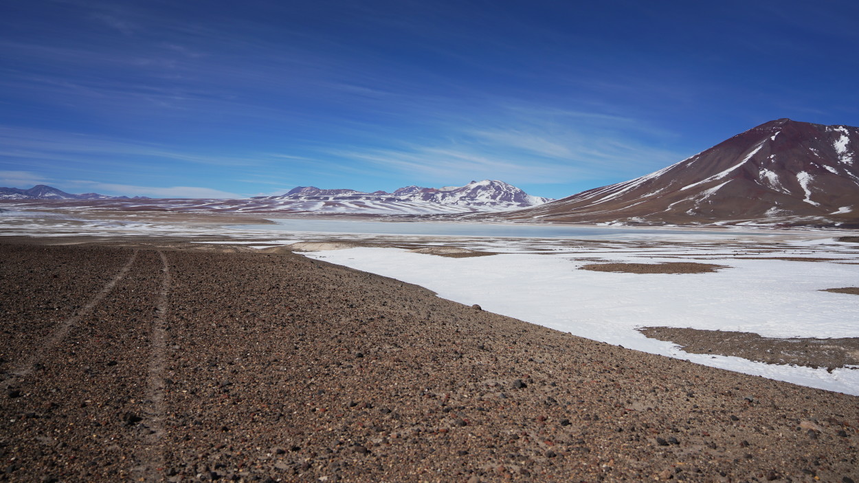
And finally in front of us opened White Lagoon!
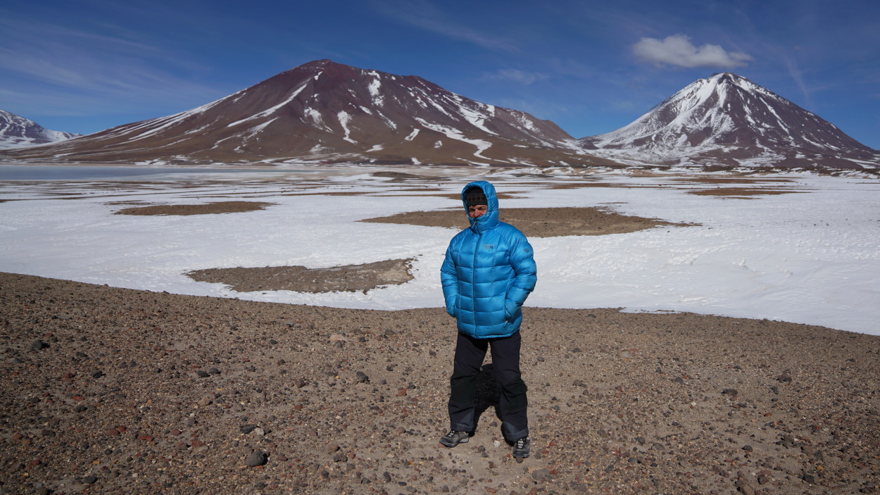
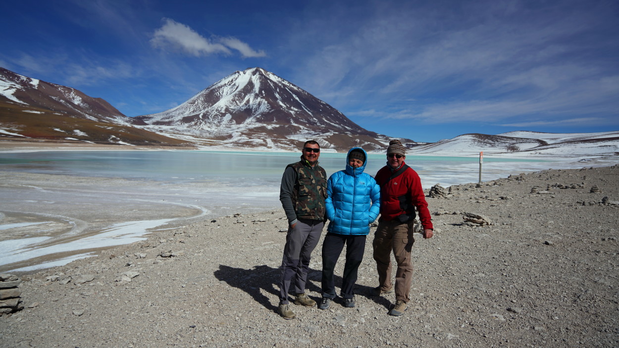
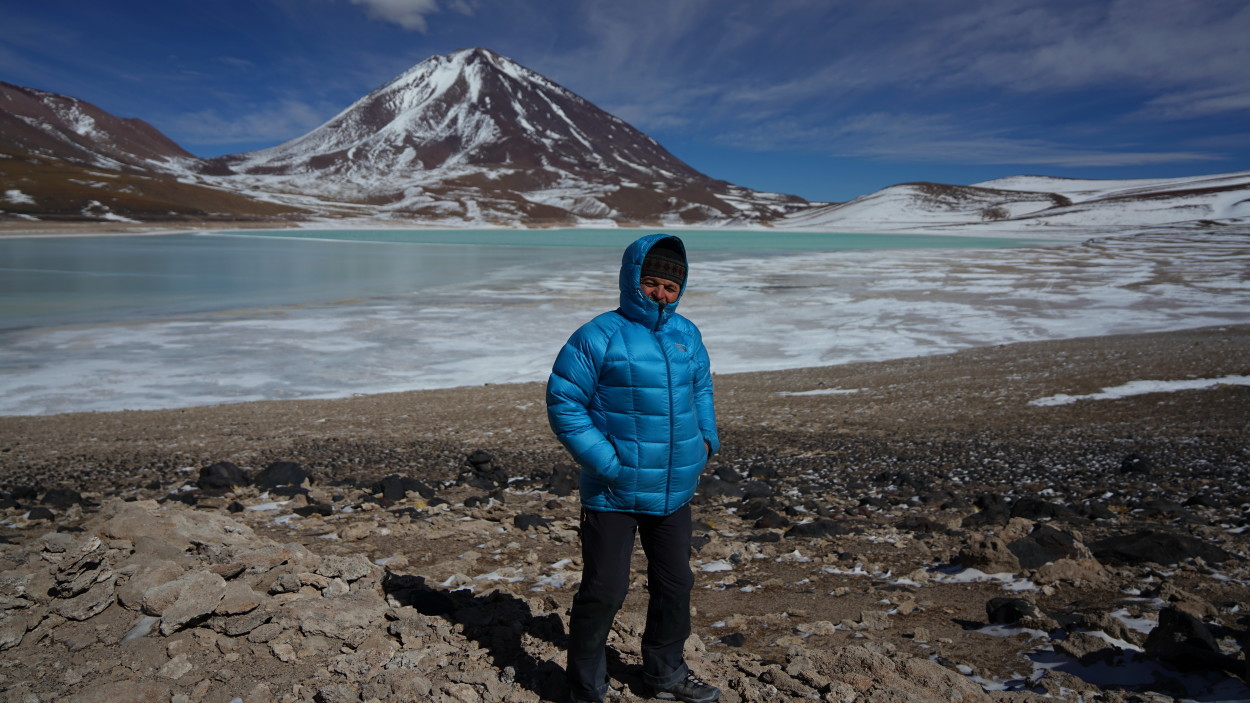
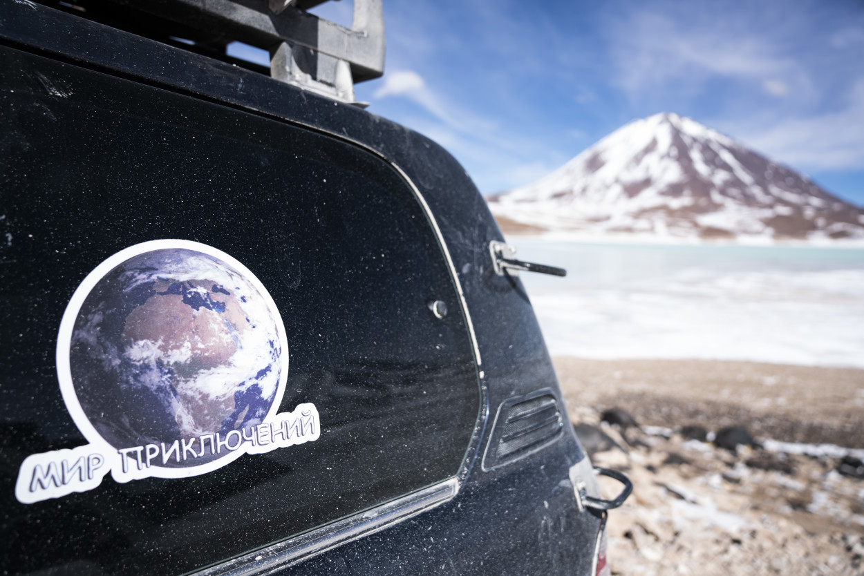
And next to it is a lake of extraordinary beauty with emerald-colored water, surrounded by the snow-capped peaks of the majestic Andes. This amazing place is the famous Green Lagoon.


Comments
The post has no comments at the moment.
Leave Comment