Photo report “Roads of The Inca or The Journey to Peru”.
October 2011
Days spent: 21
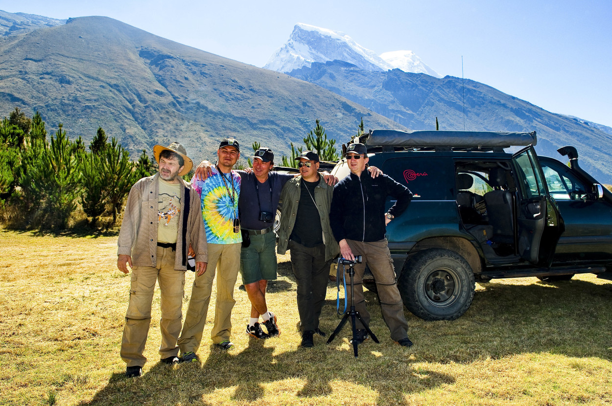
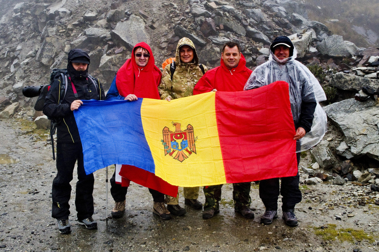
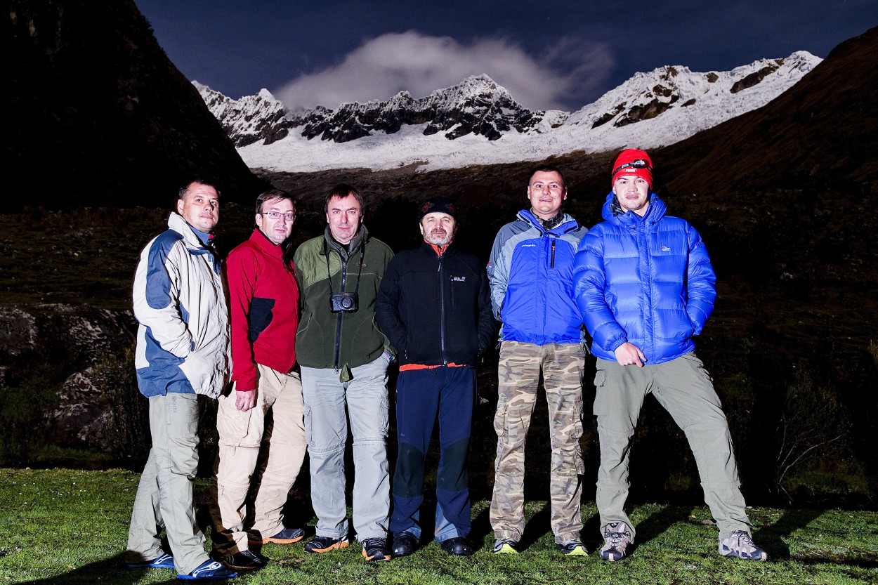
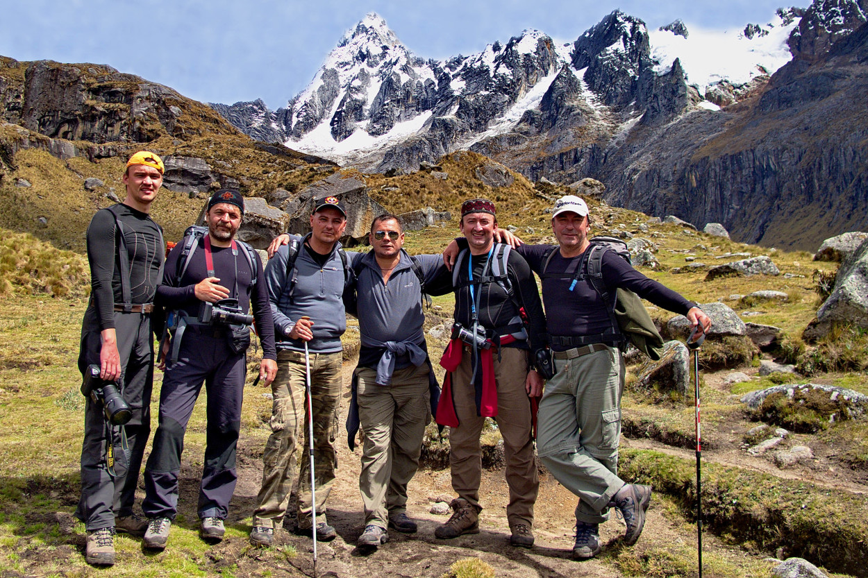
The route went througth Peru. Expedition numbered 6 persons.
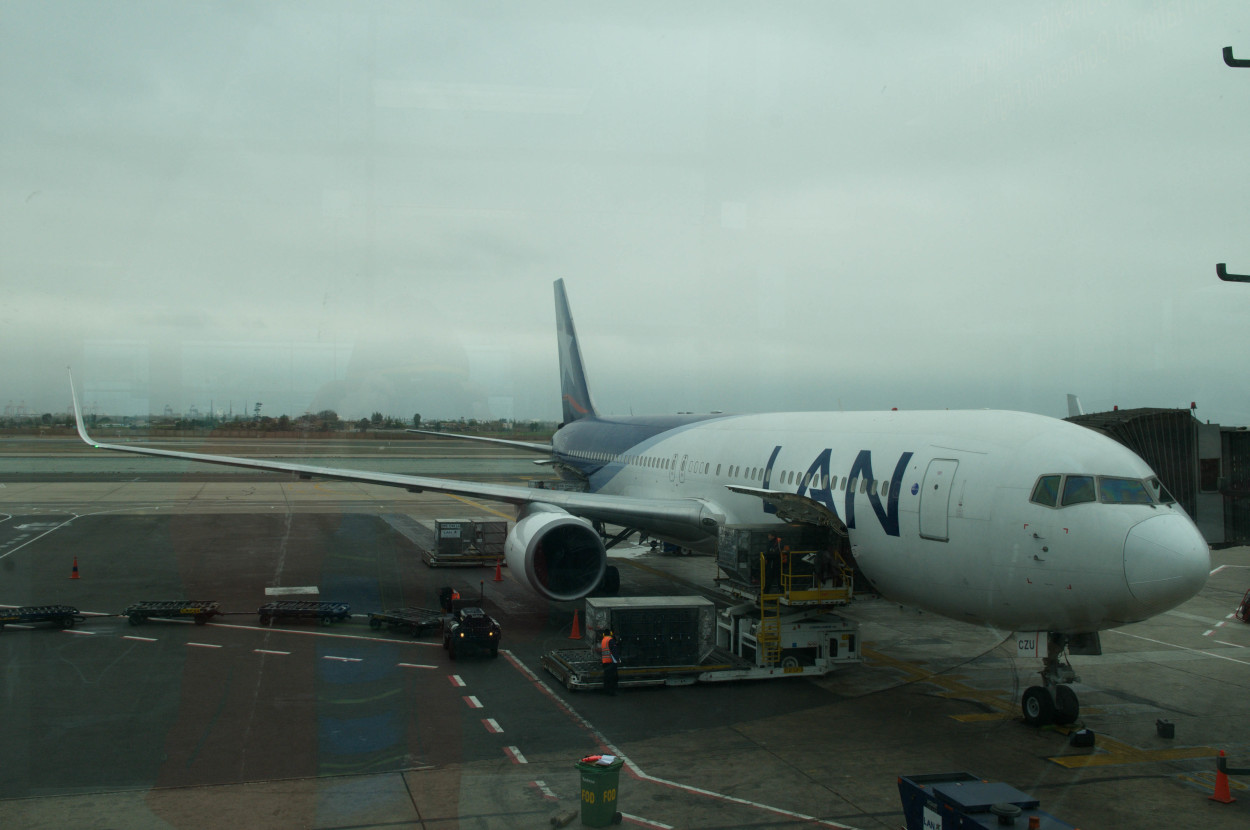
So, in search of adventure, we depart from the Jorge Chavez Airport to Lima, the capital city of Peru.
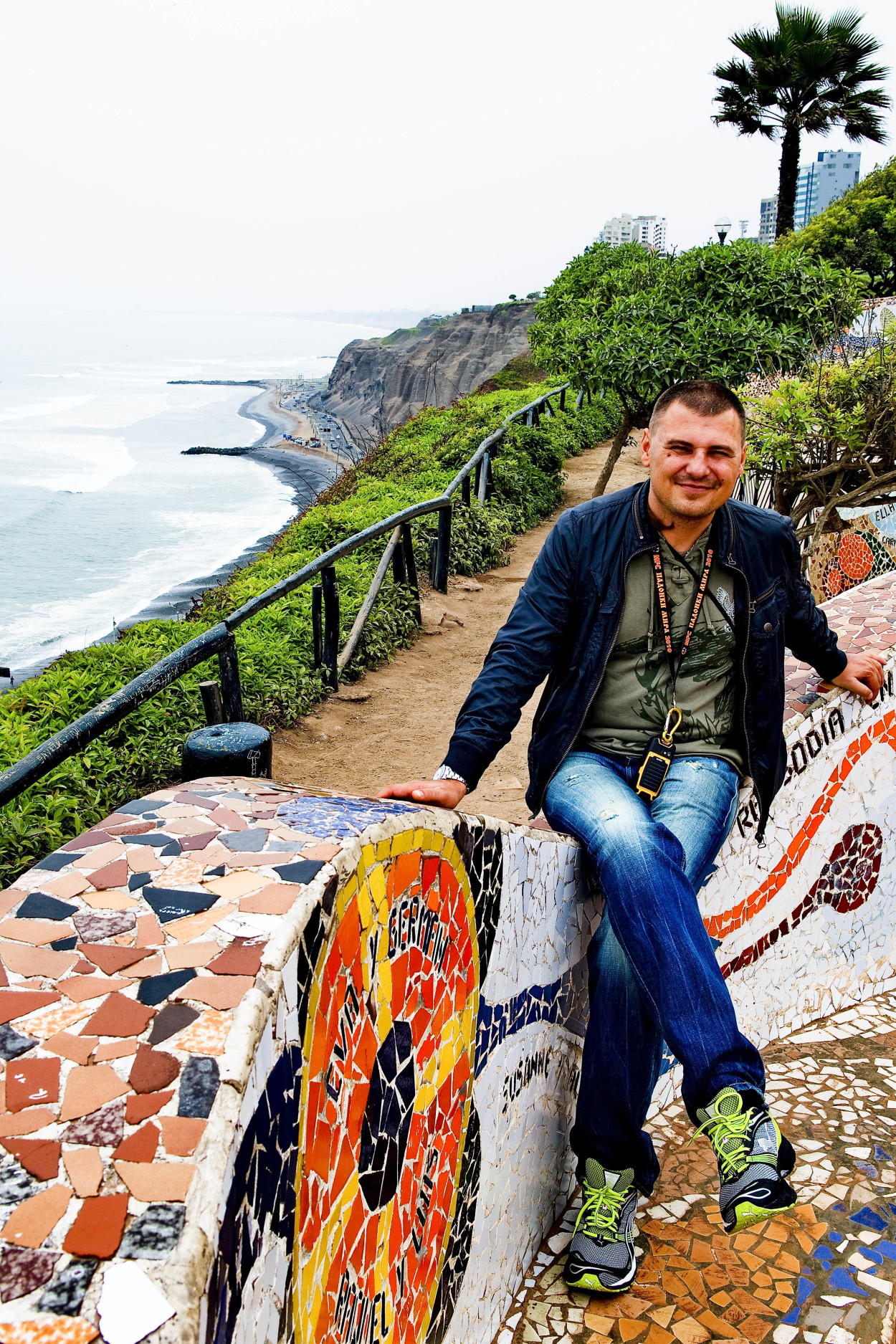
Today and tomorrow it is important for us to get used to the weather and to the local time, after all the hourly difference between Peru and Moldova is of 7 time zones. But, the most important thing today is to visit the capital city. We first have a stop in the most prestigious district of Lima, where the city meets the edge of the highest cliff, under which the endless expanse of the Pacific stretches. From a bird’s eye view, it seems even more mysterious and severe.
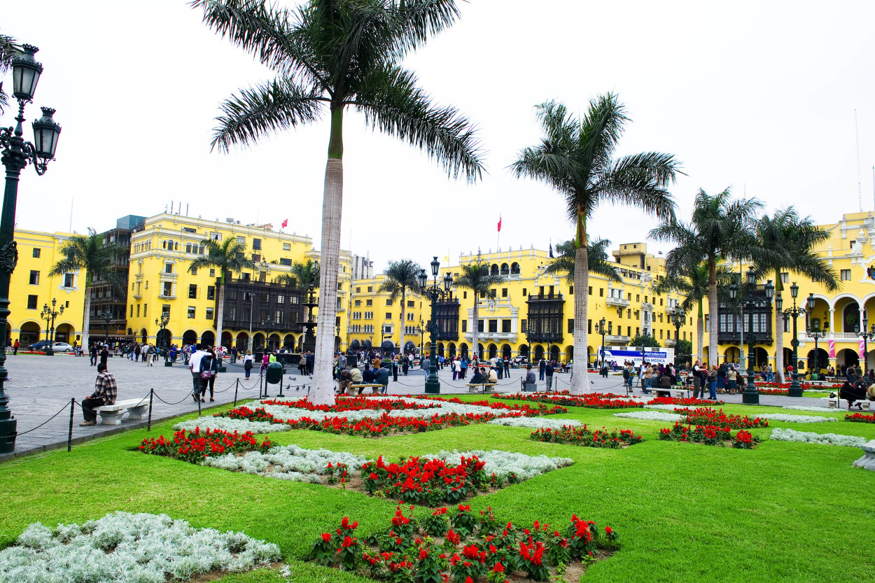
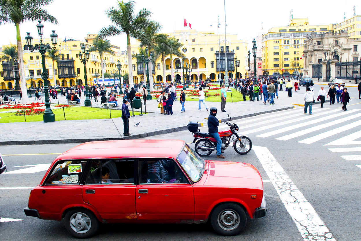
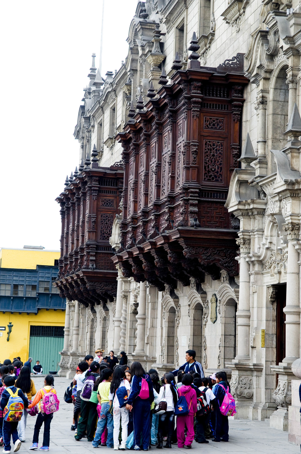
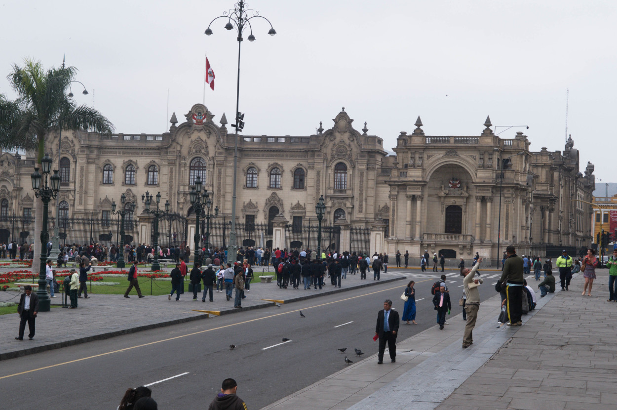
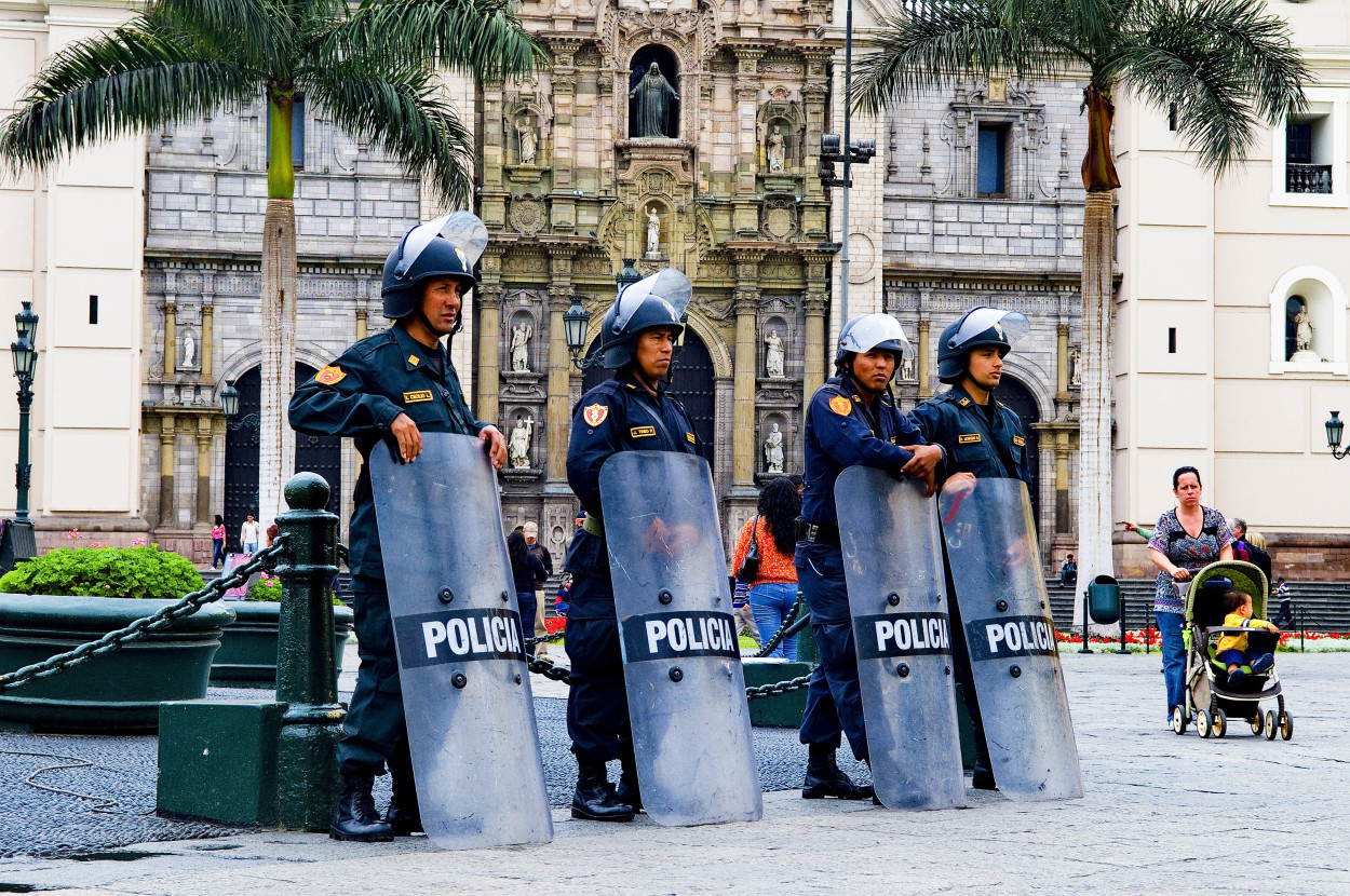
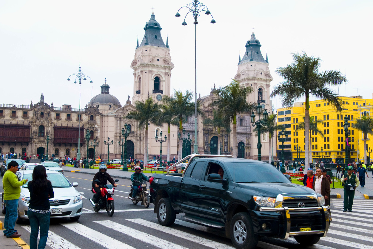
We begin to explore the capital city from its central square – Plaza de Armas, which means the Weapons’ Square.
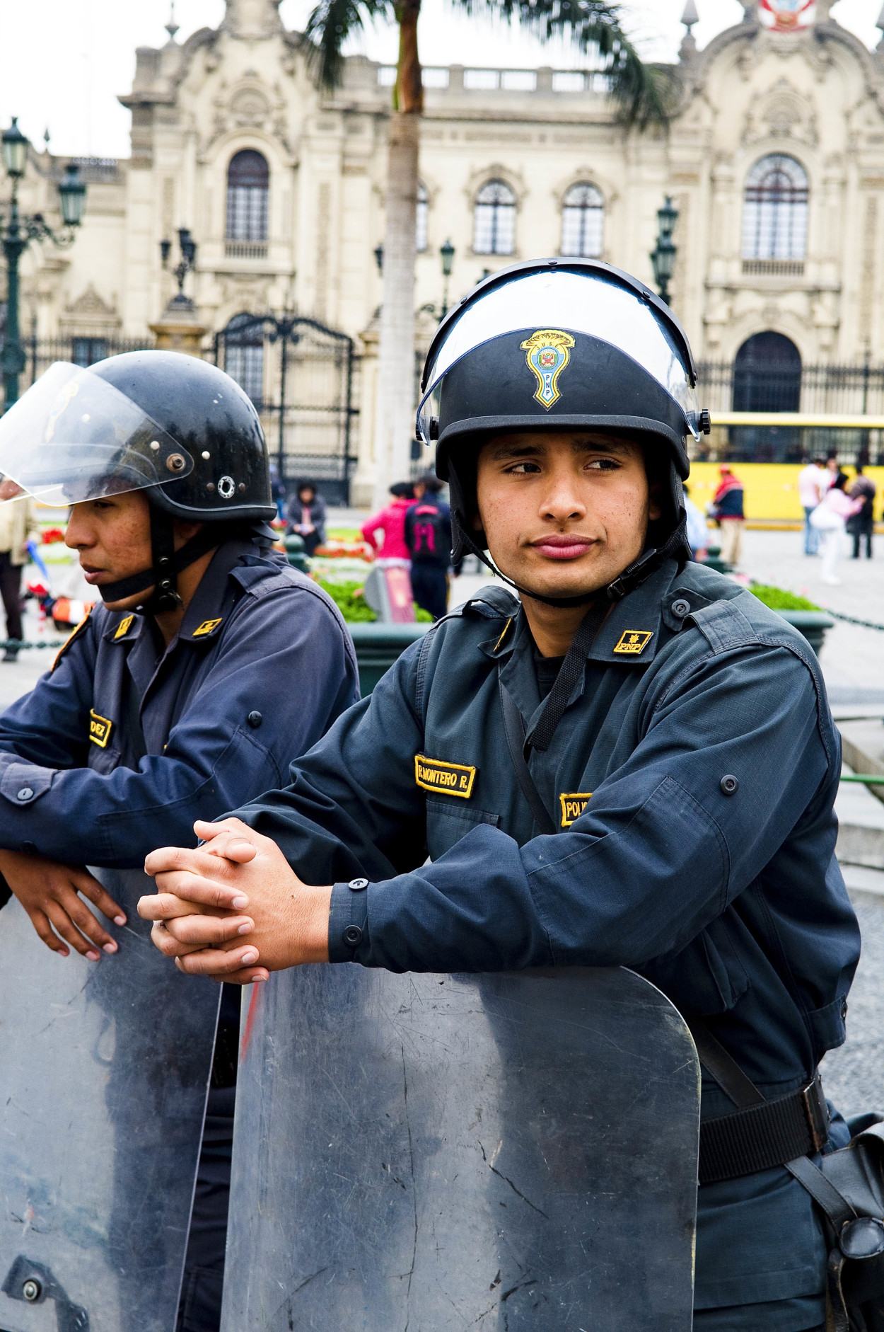
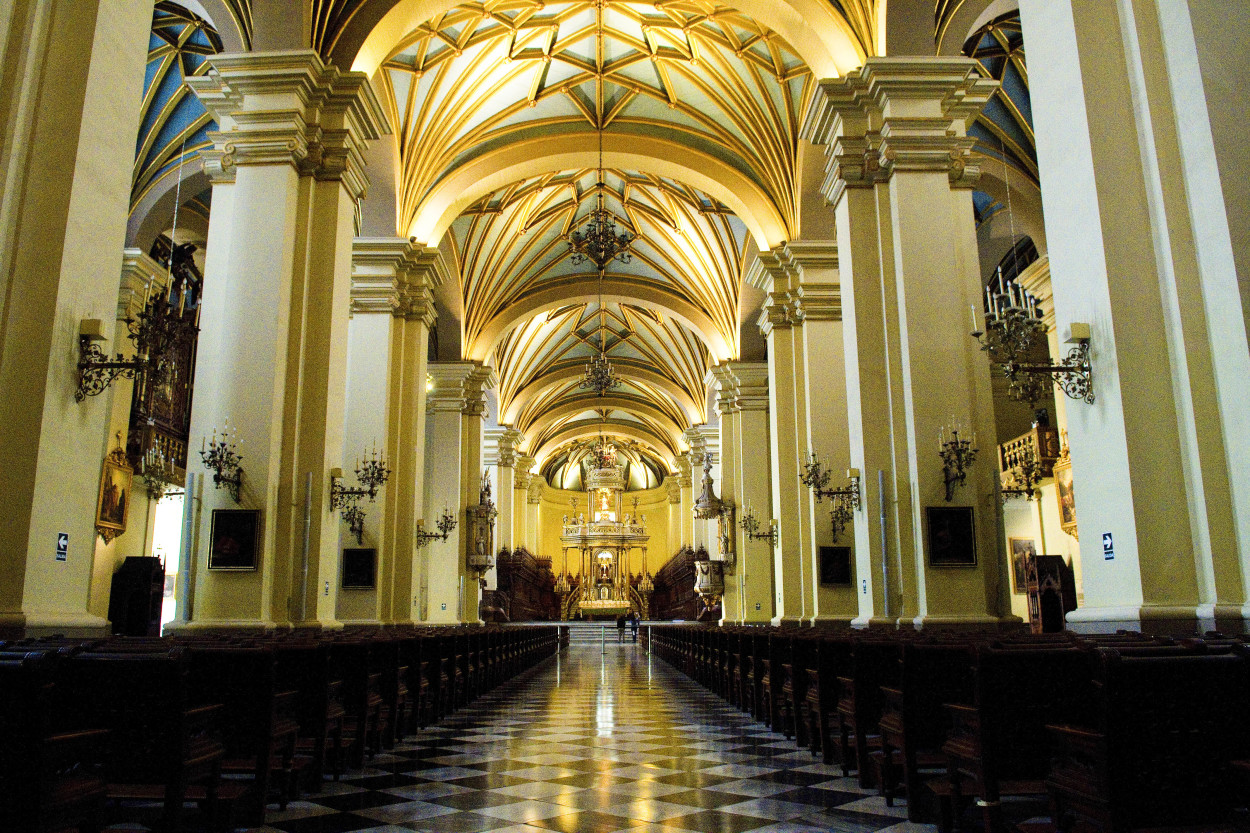
The Presidential Palace and the Cathedral reminds of the times of the colonial era.
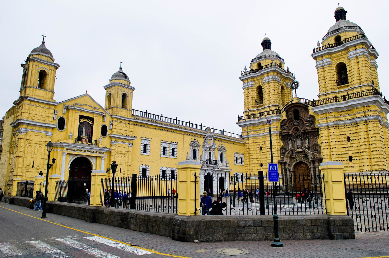
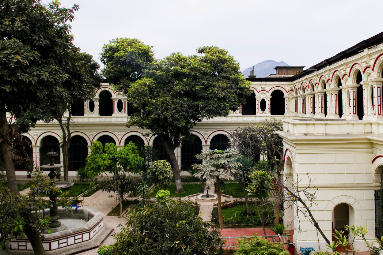
The Lima’s history dates back to 1535 when Spanish conquistador Francisco Pizarro founded the settlement as an outpost during the conquest of Peru. He did not suppose that Lima will become the political and military capital of Peru, the largest city among the colonial South America. Lima witnessed the influx of Spanish nobility and the reign of 40 viceroys. And, in 1821 it was declared the capital city of the independent Peru. Today, in Lima live about 10 million people, that is about 1/3 of the population of Peru. While walking along the streets of the city, we reached the San-Francisco Monastery.
A manicured inner yard with a paradise garden, created as though, to think about the Eternal.
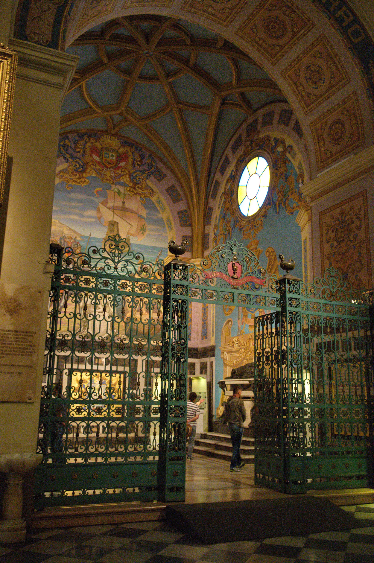
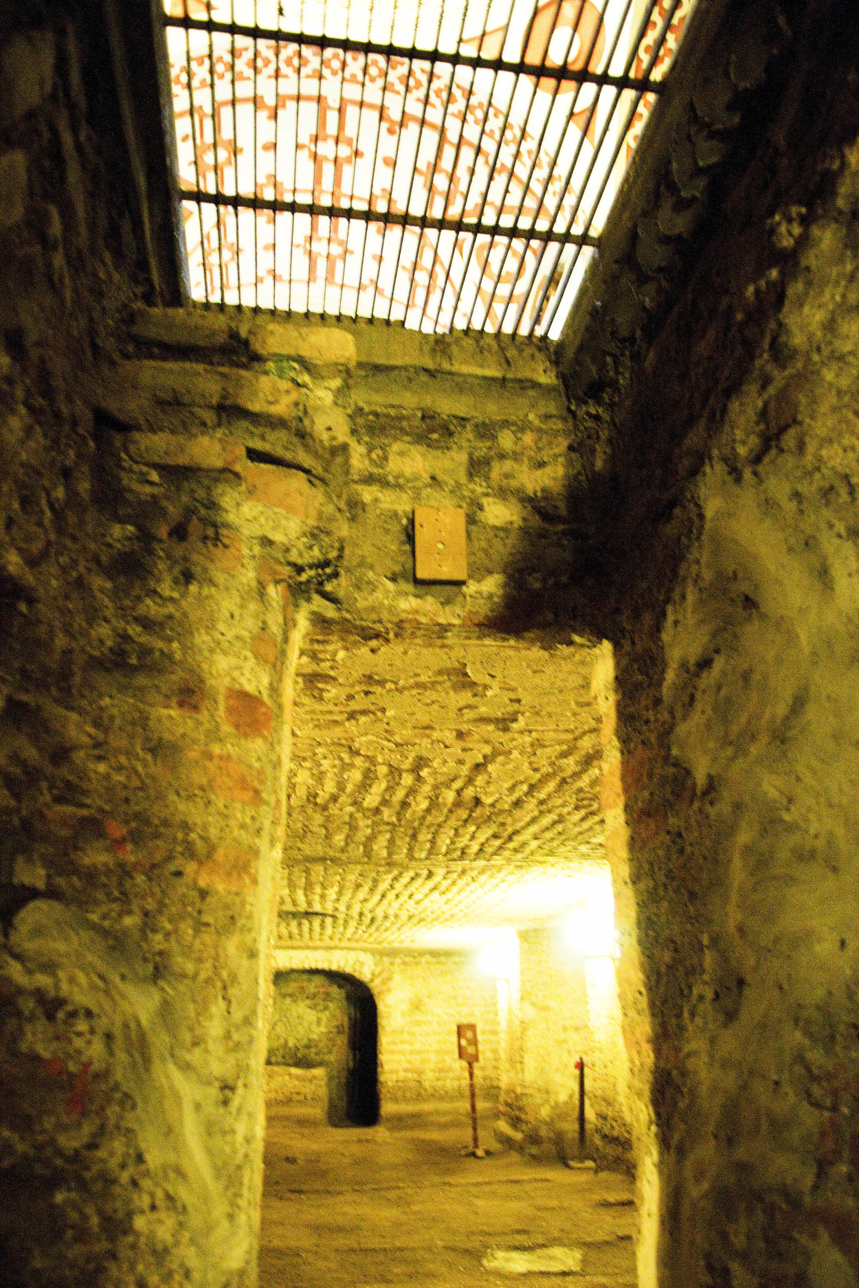
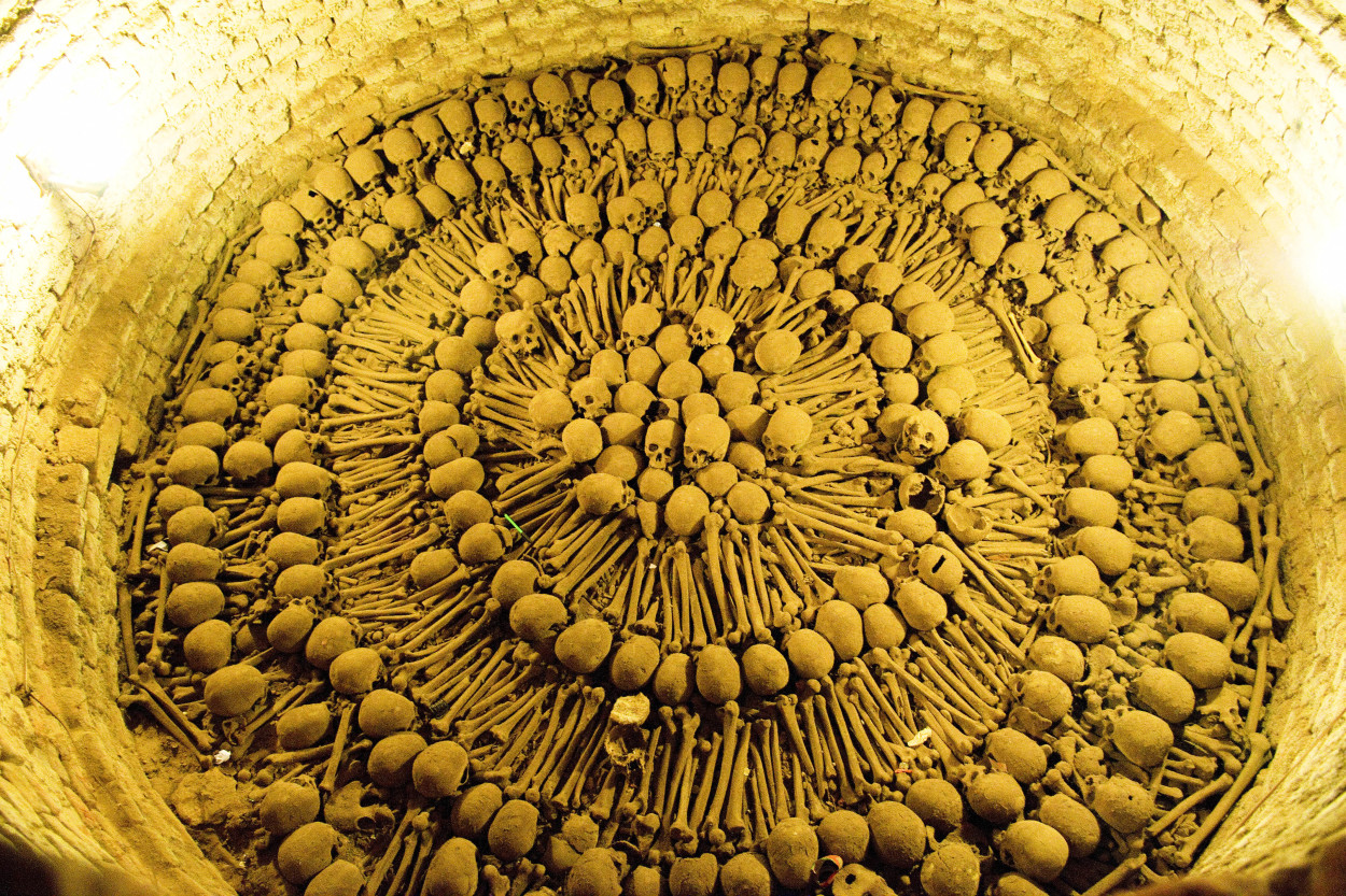
Then we go down into the catacombs of the monastery. Dark, imbued with mystery, brick walls lead us to the graves. It appears that the catacombs served as the first civil cemetery in Lima.
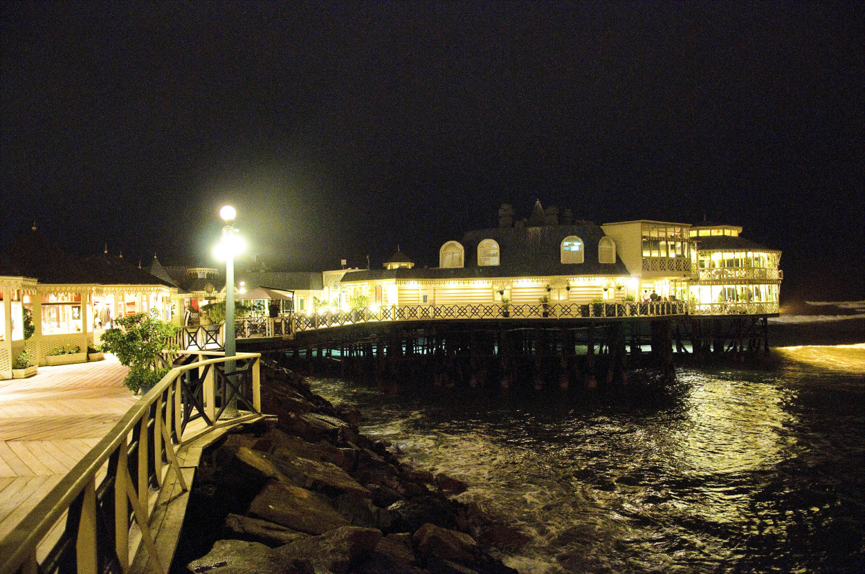
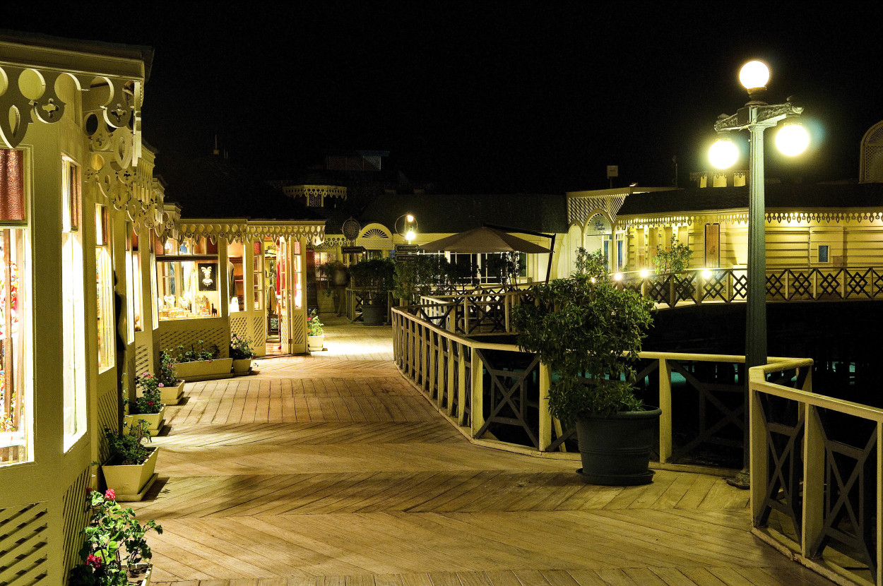
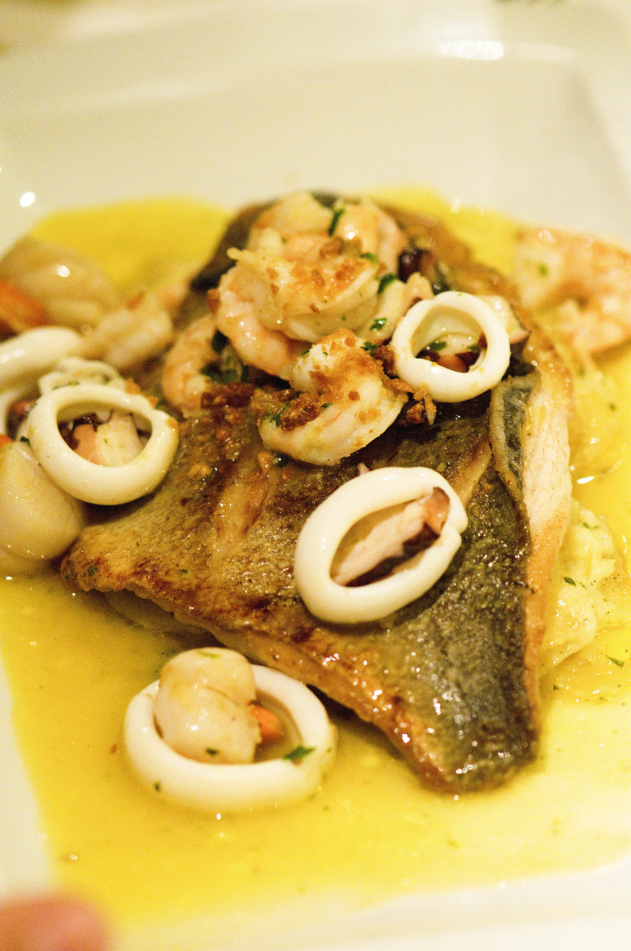
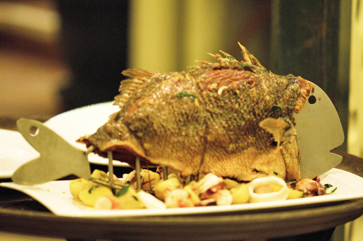
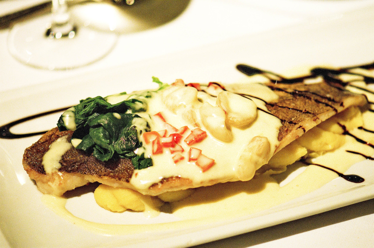
In the evening we are going to have our dinner in a fish restaurant on the shore of the Pacific Ocean.
Today our course is due South to the city of Uarash, located at the foothill of the mountain range Cordillera Blanca, there, in the lodge, at an altitude of3700 meters is our start point of the five-days expedition to the Punta Union pass and to the top of Alpamayo.
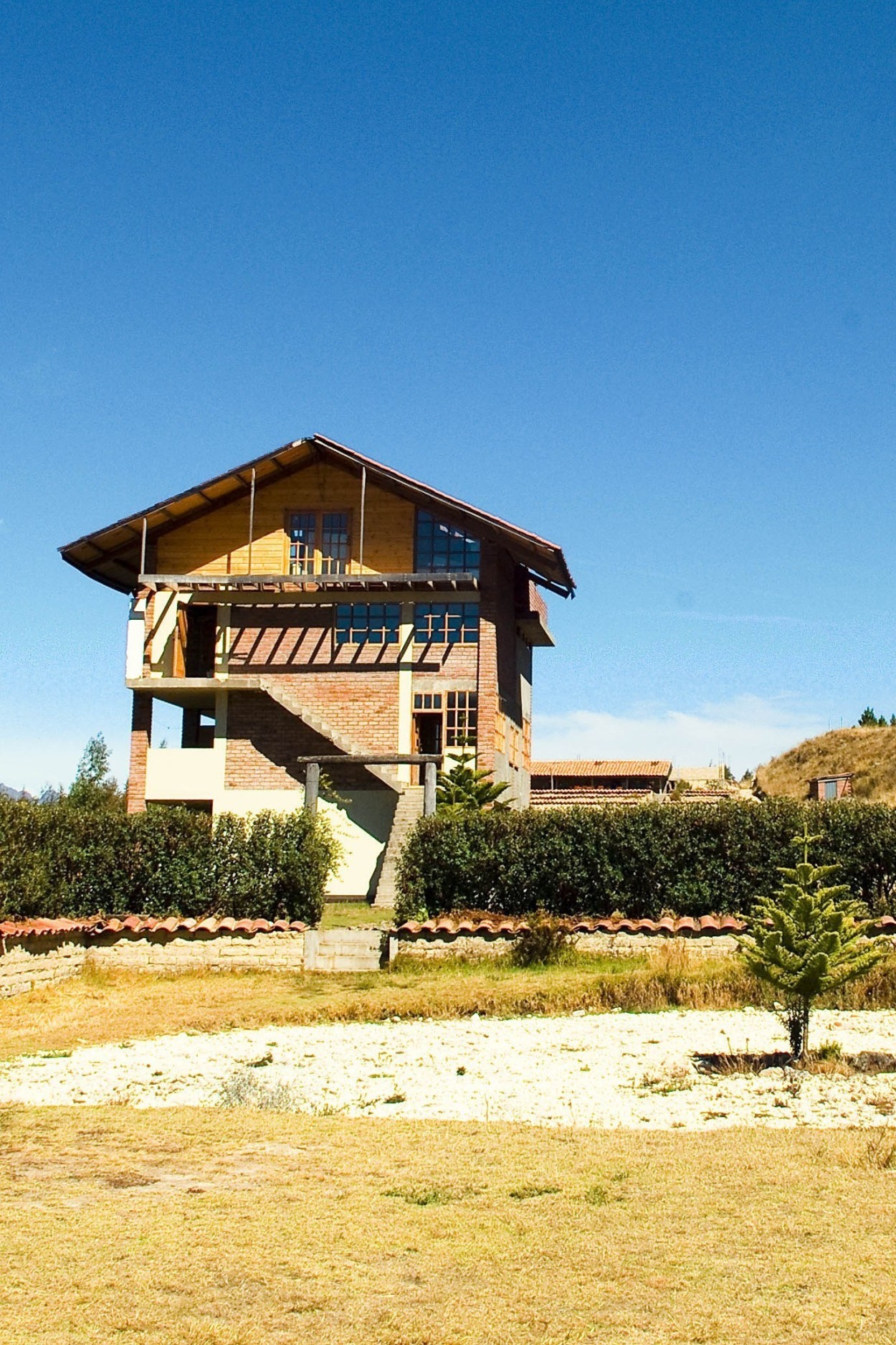
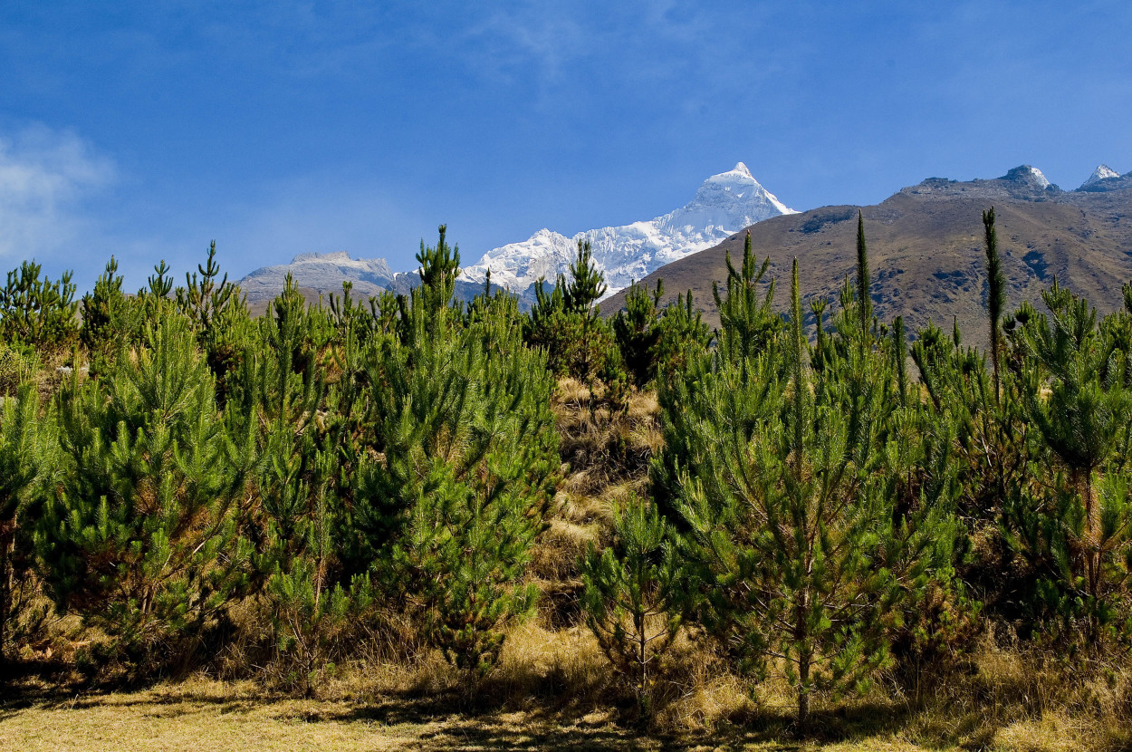
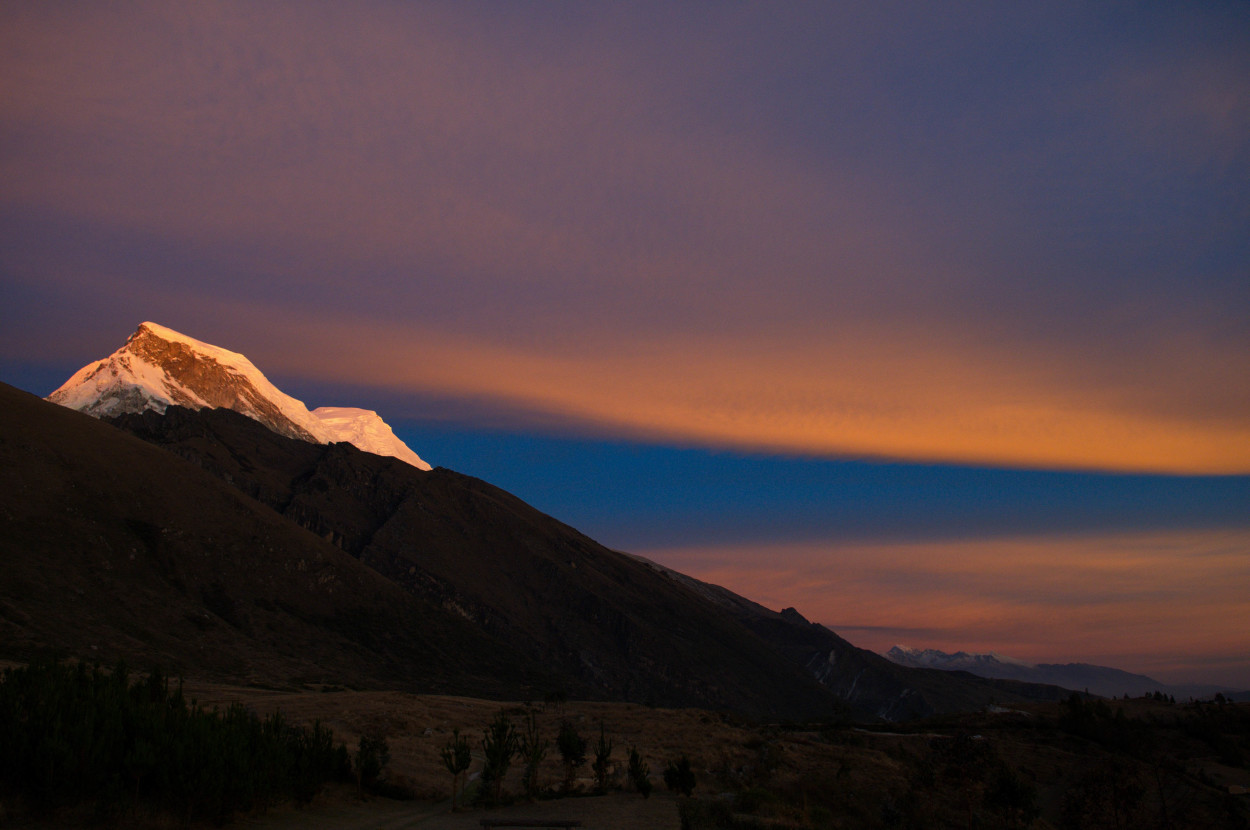
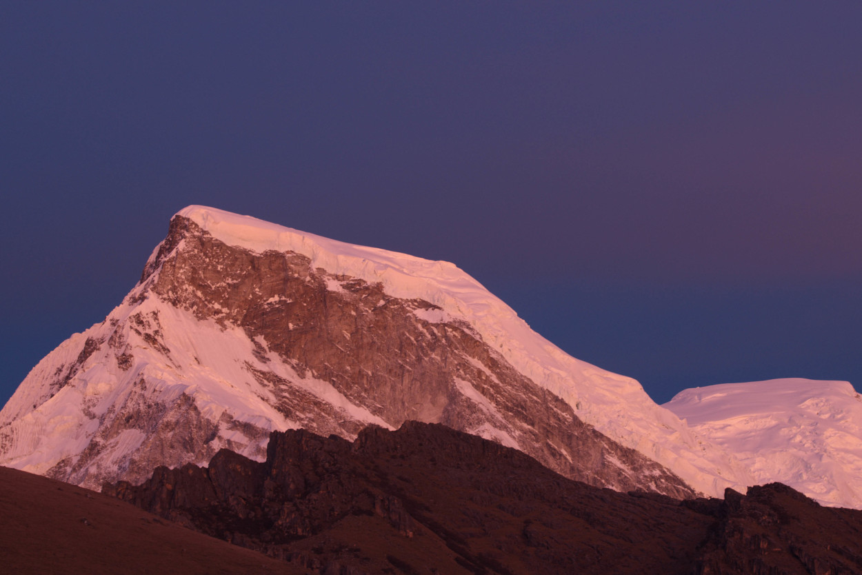
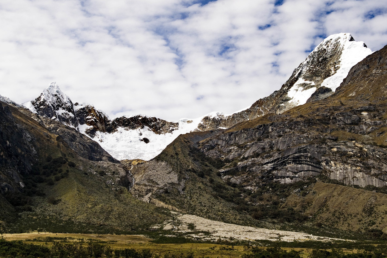
Our lodge was set on a beautiful place on the territory of the National Park of Huascaran, at the foothill of the Huascaran, the highest mountain in Peru. It is 6768 meters high.
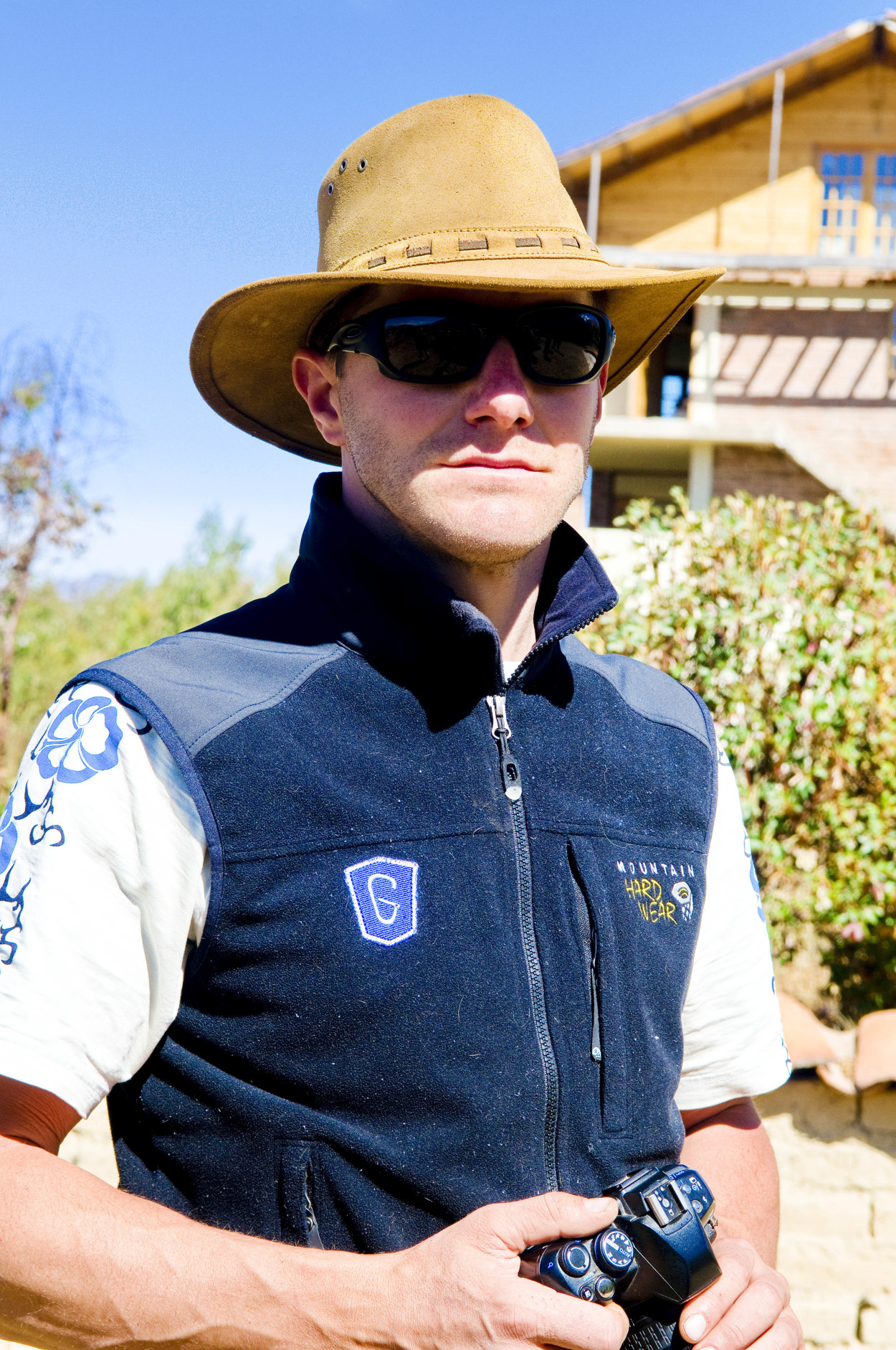
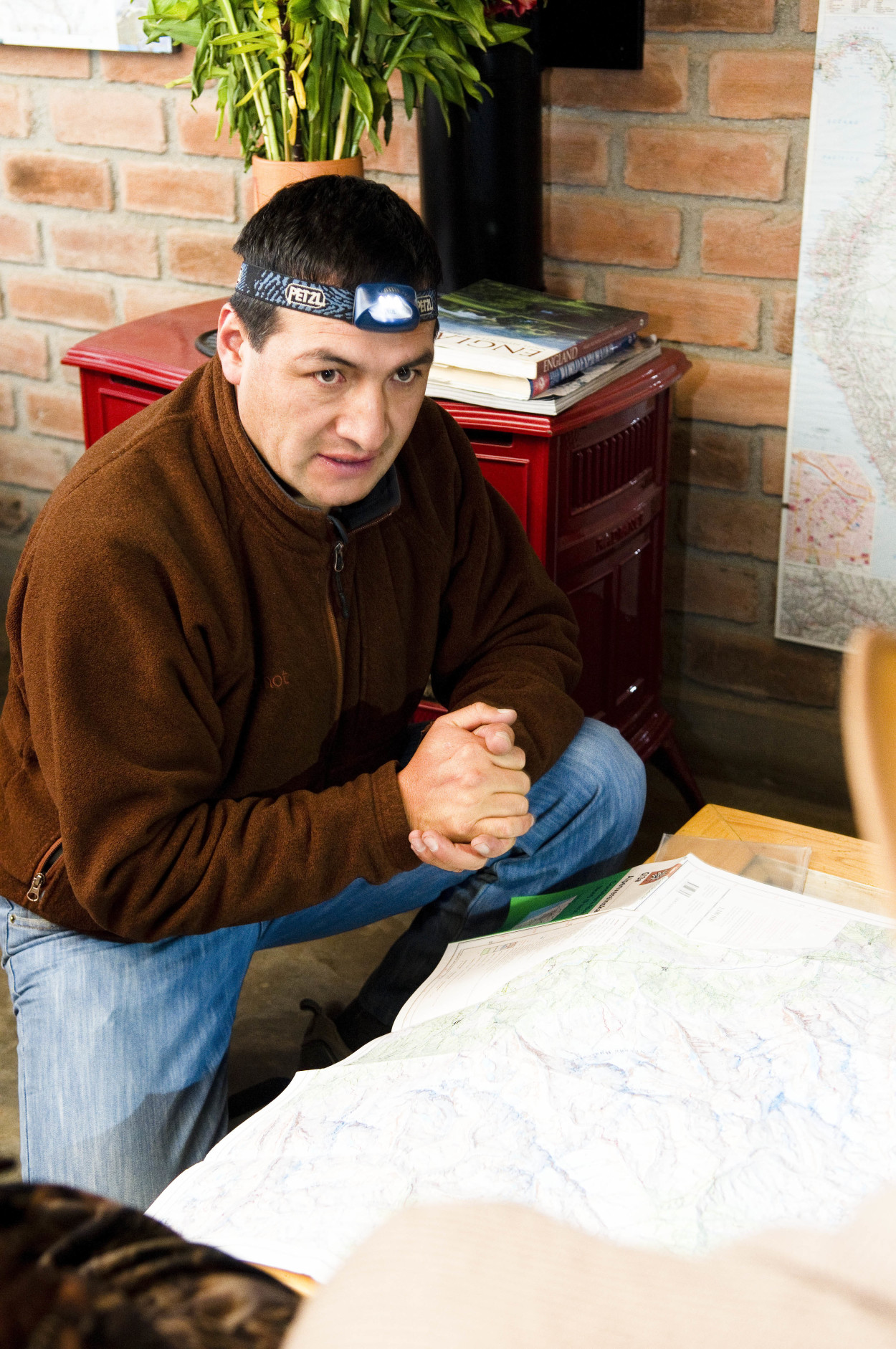
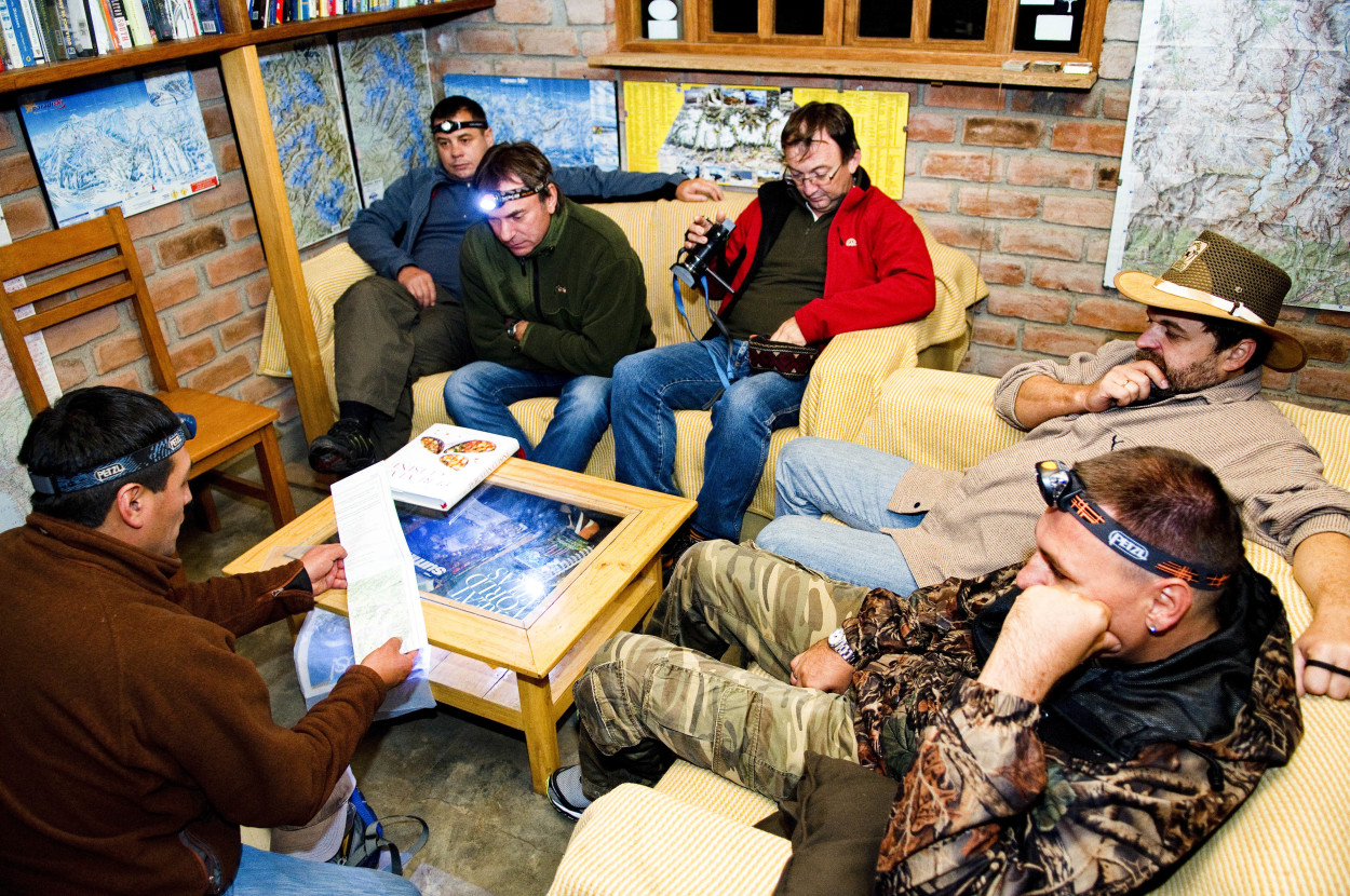
In the evening we are going to meet our guide, named Gilf. He will accompany us all 5 days of our expedition.
The Huascaran National Park is a Biosphere Reserve occuping an area of about 3400 sq. km. There are about 660 glaciers and about 300 lakes on the territory of the park. In 1985 the park was included on the UNESCO World Heritage list.
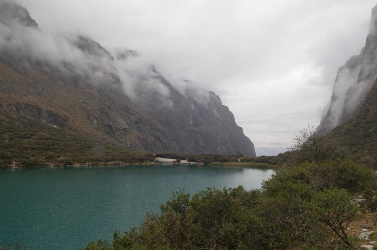
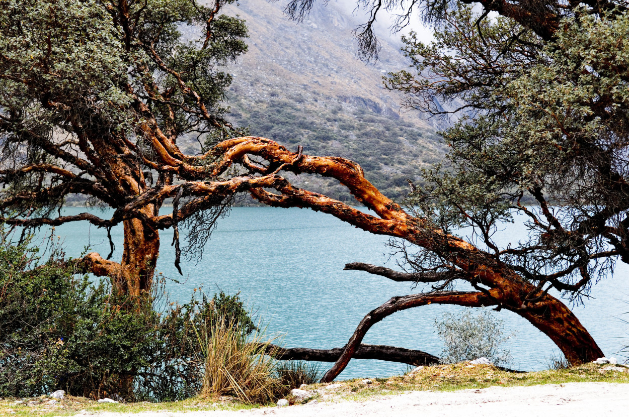
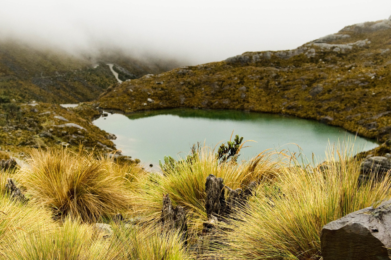
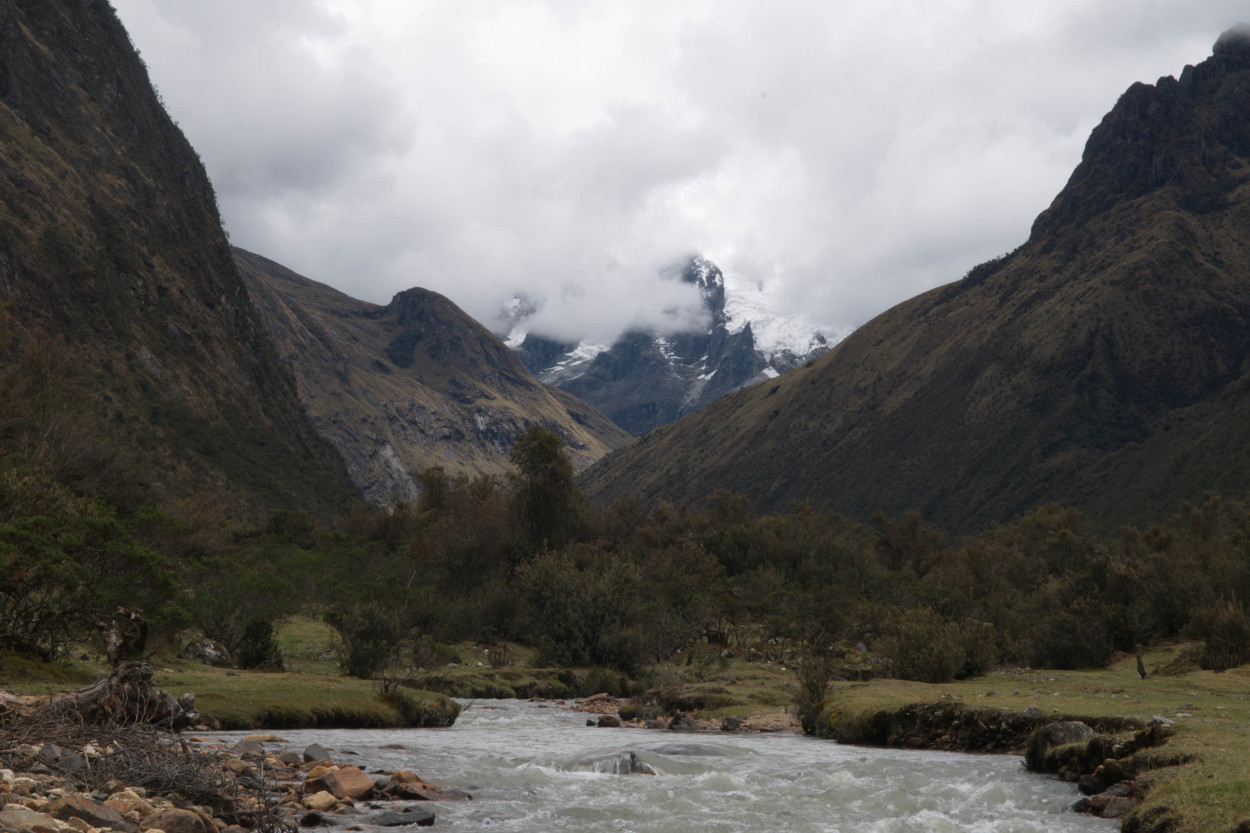
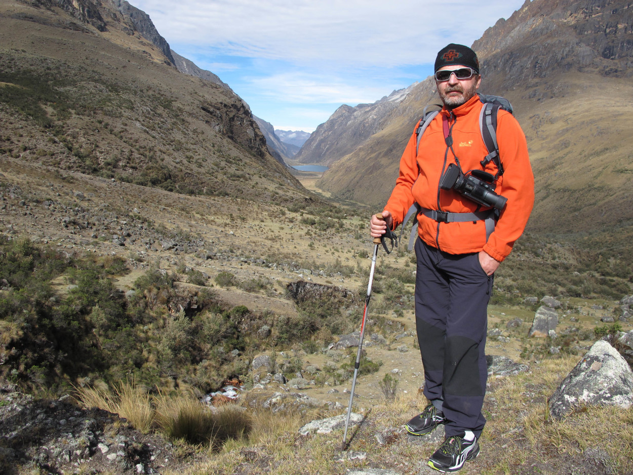
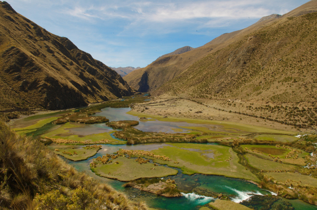
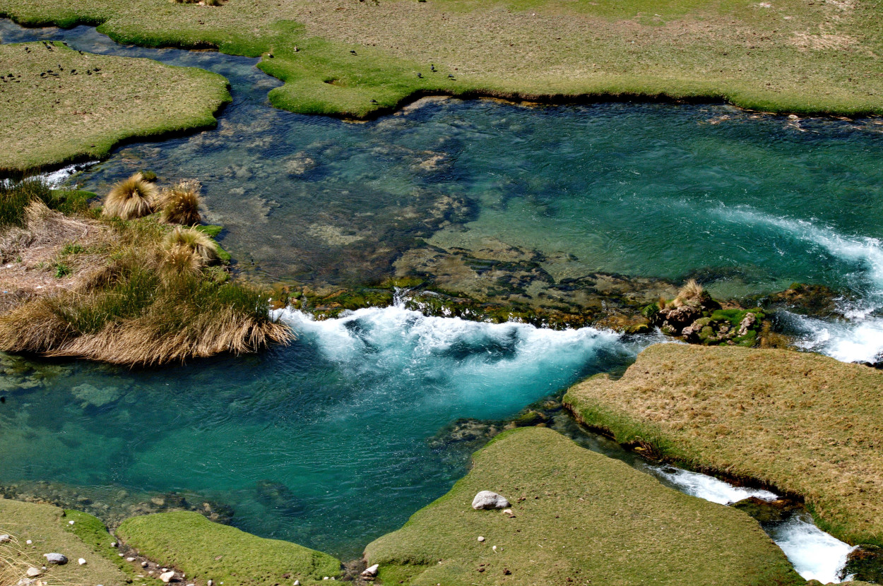
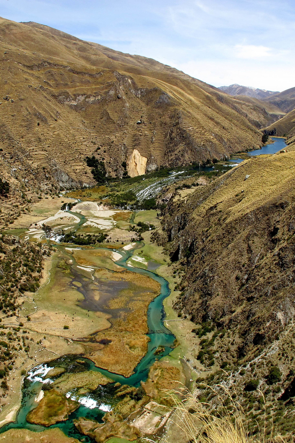
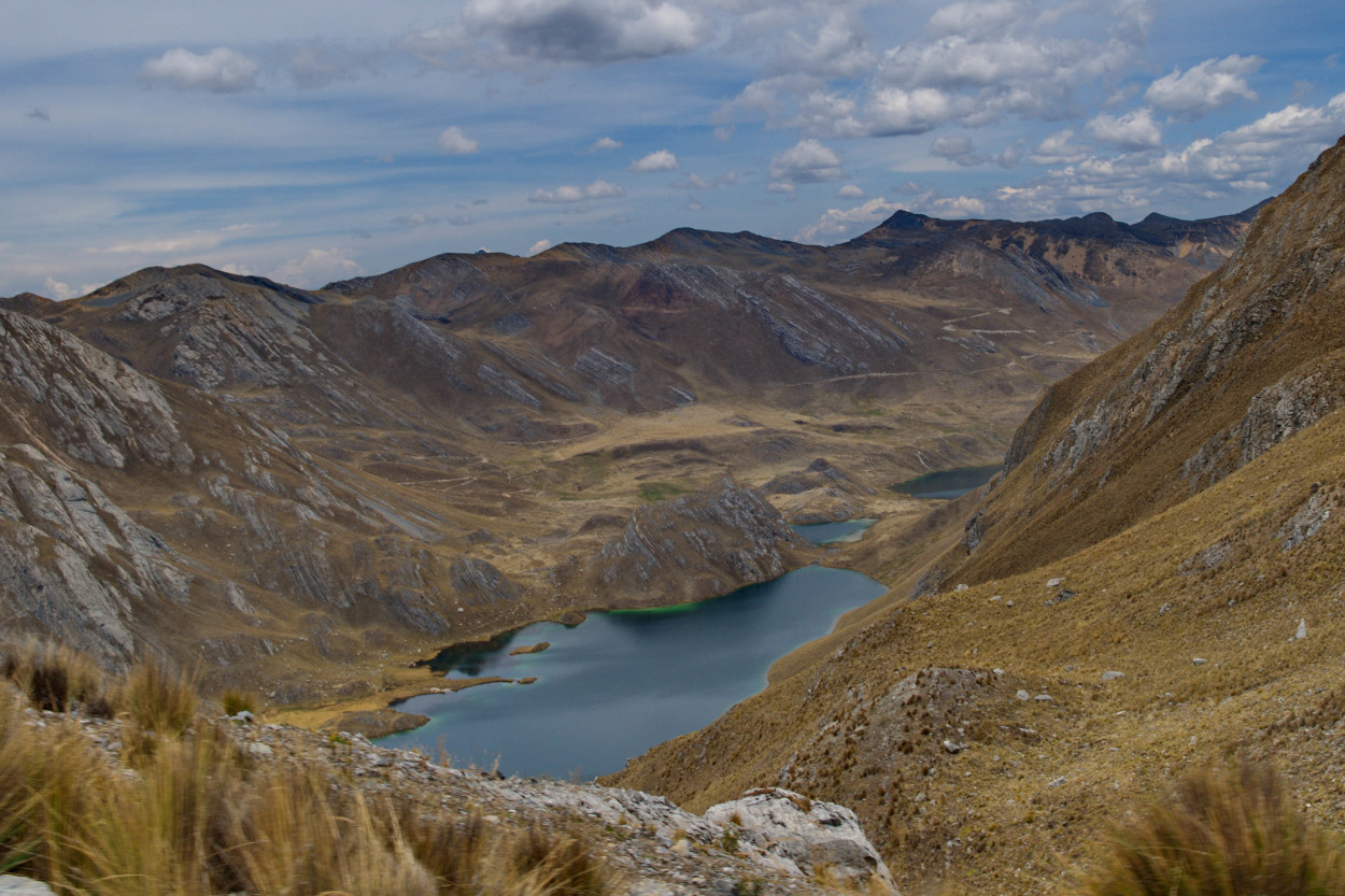
The reserve territories are especially beautiful thanks to the spectacular canyons, with the rivers flowing and the glacial lakes.
By a minibus, we go to the pass at the altitude of 4550 meters, wherefrom our expedition shall start.
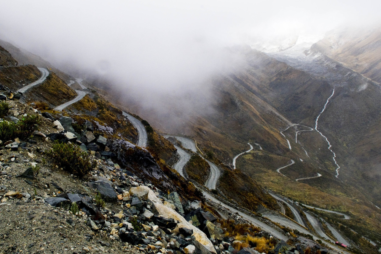
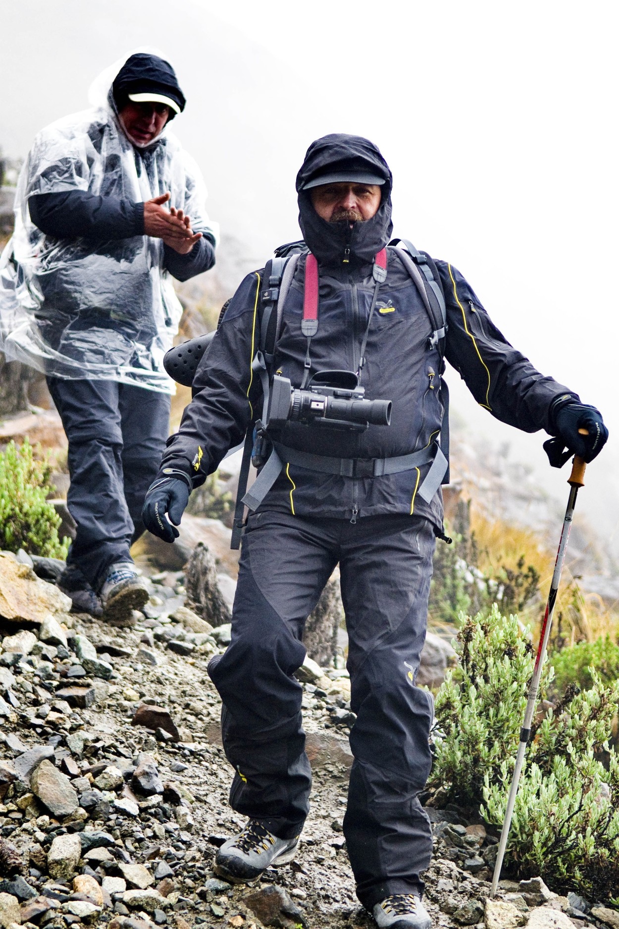
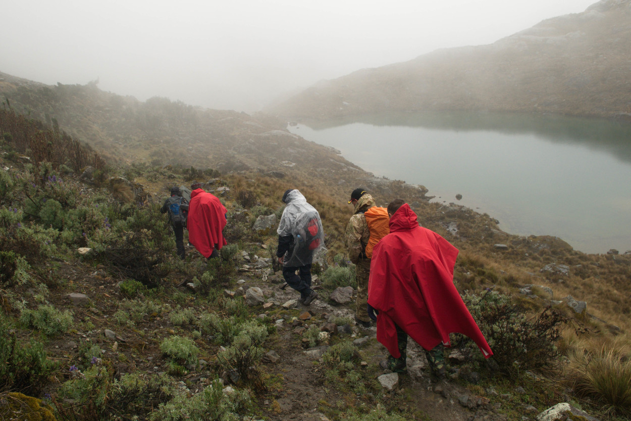
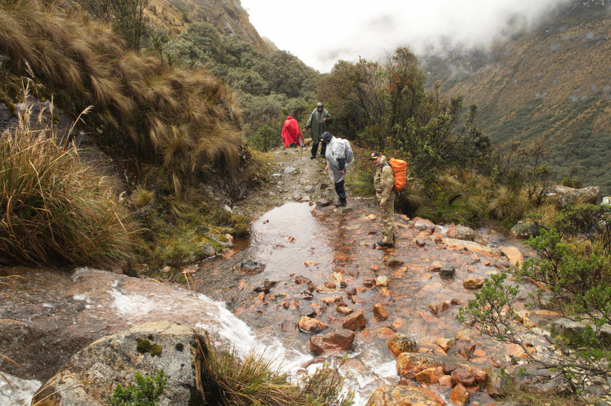
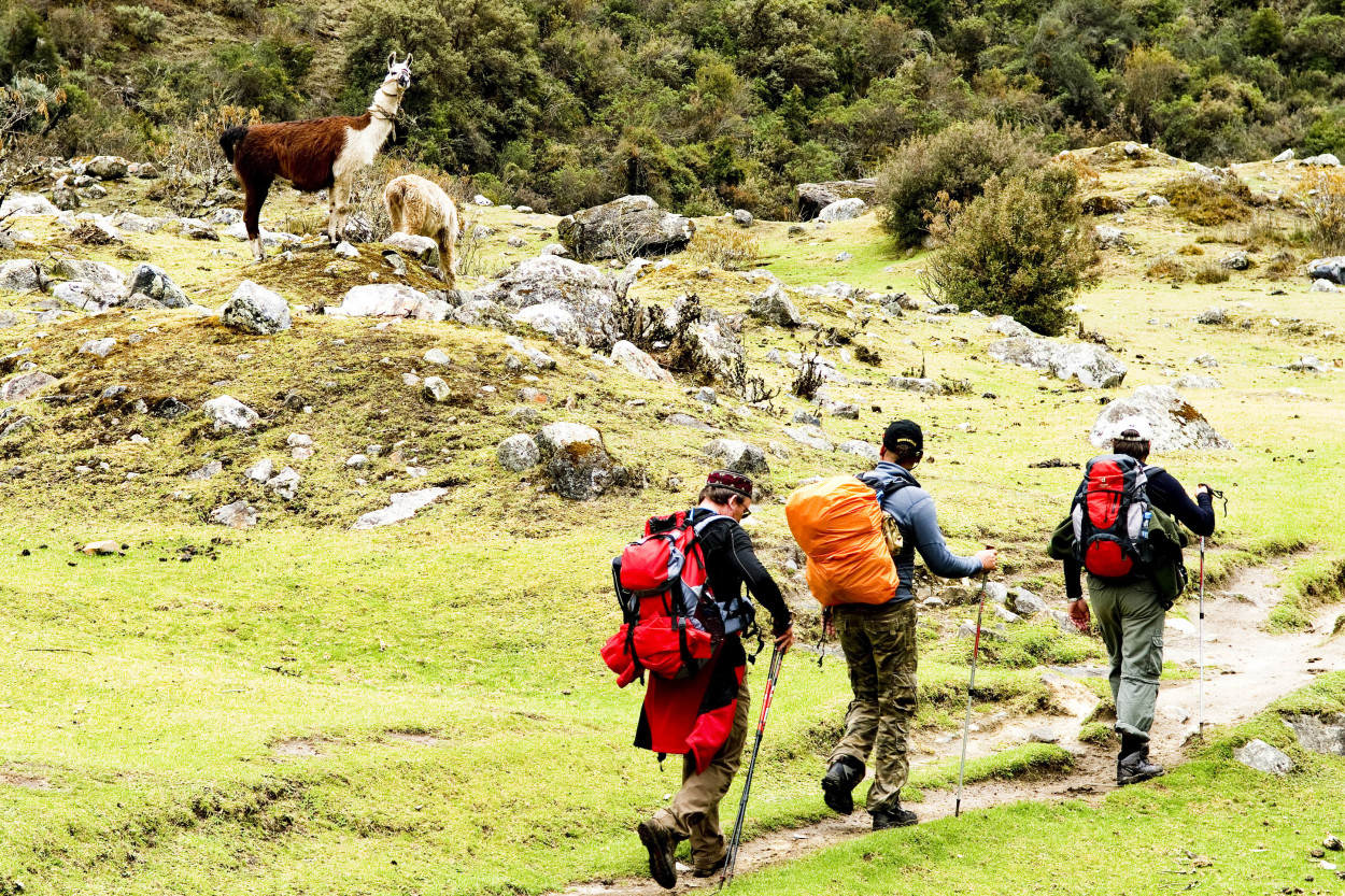
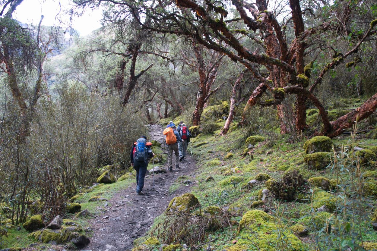
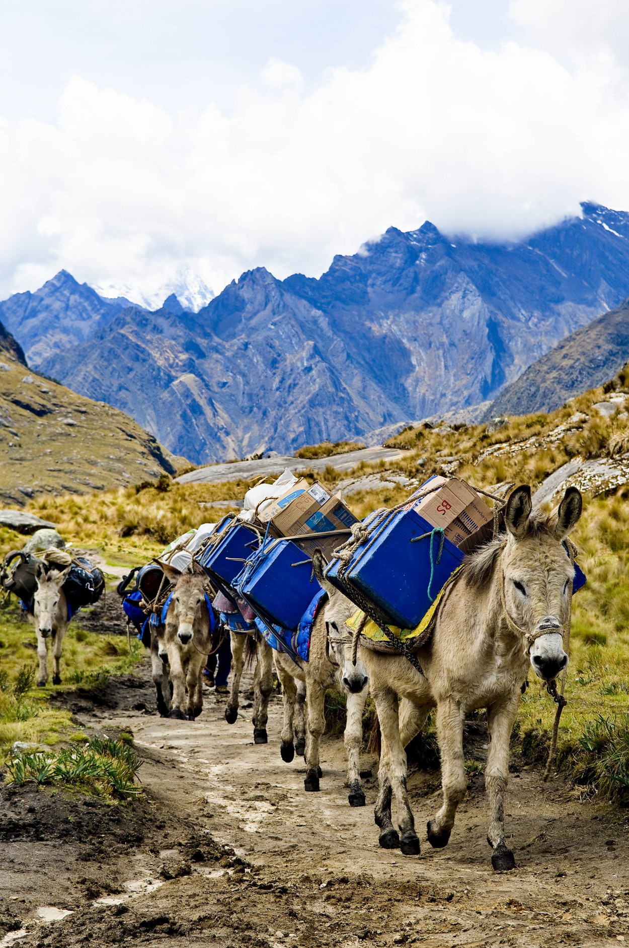
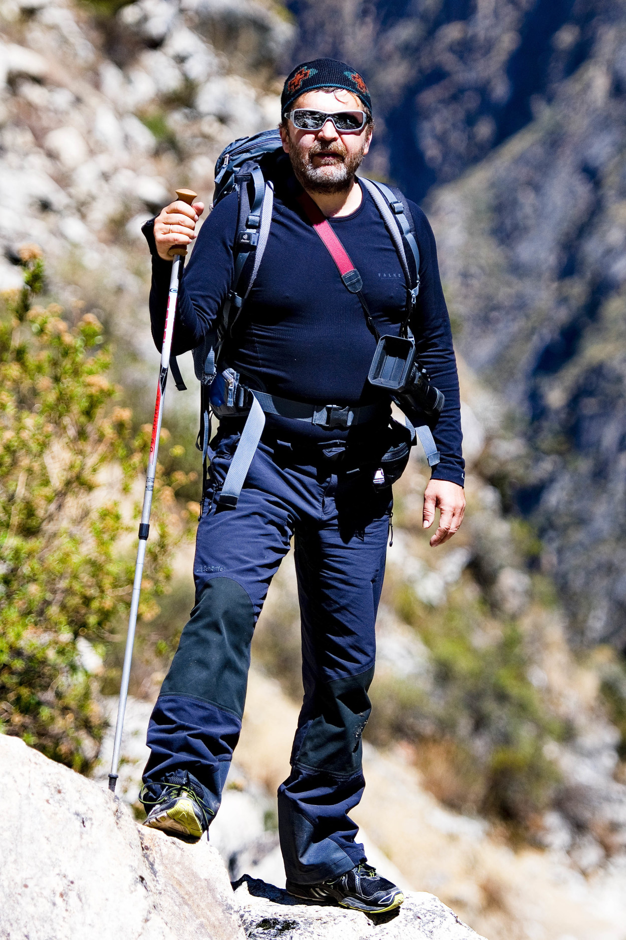
Today, we will spend 6 hours of trekking to the first camp, located at the altitude of 3900 meters. The drizzle and the lack of oxygen made it difficult for each of us to cover the route.
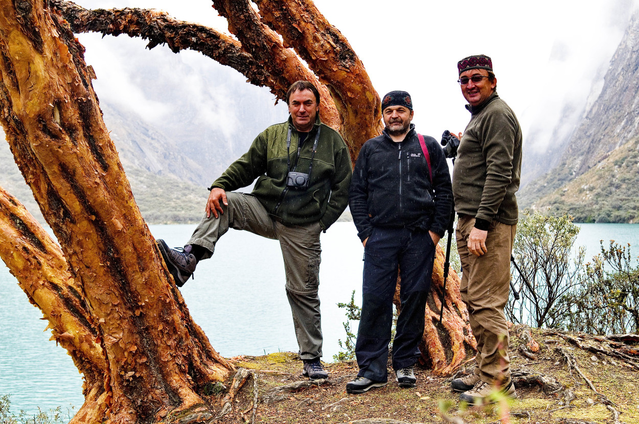
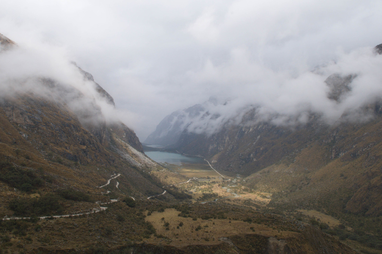
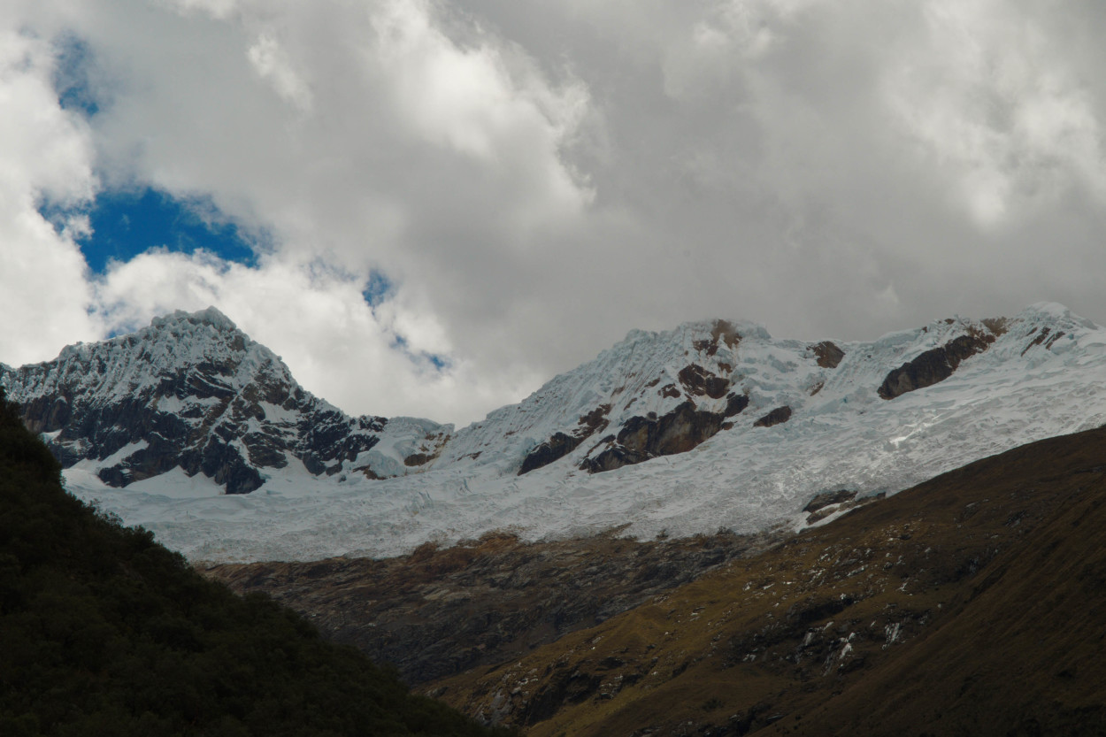
Harsh landscapes, shrouded in clouds gave us an unreal feeling. And only here you understand what severe climatic conditions the Incas lived in, it was here where their trade routes passed …
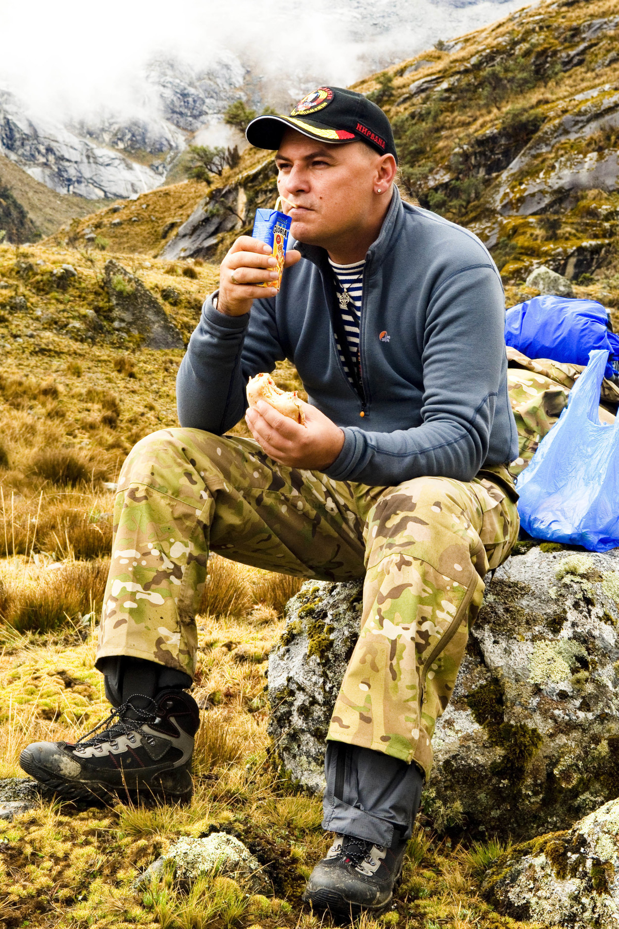
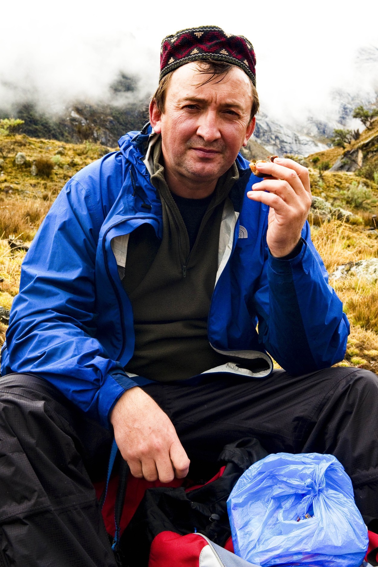
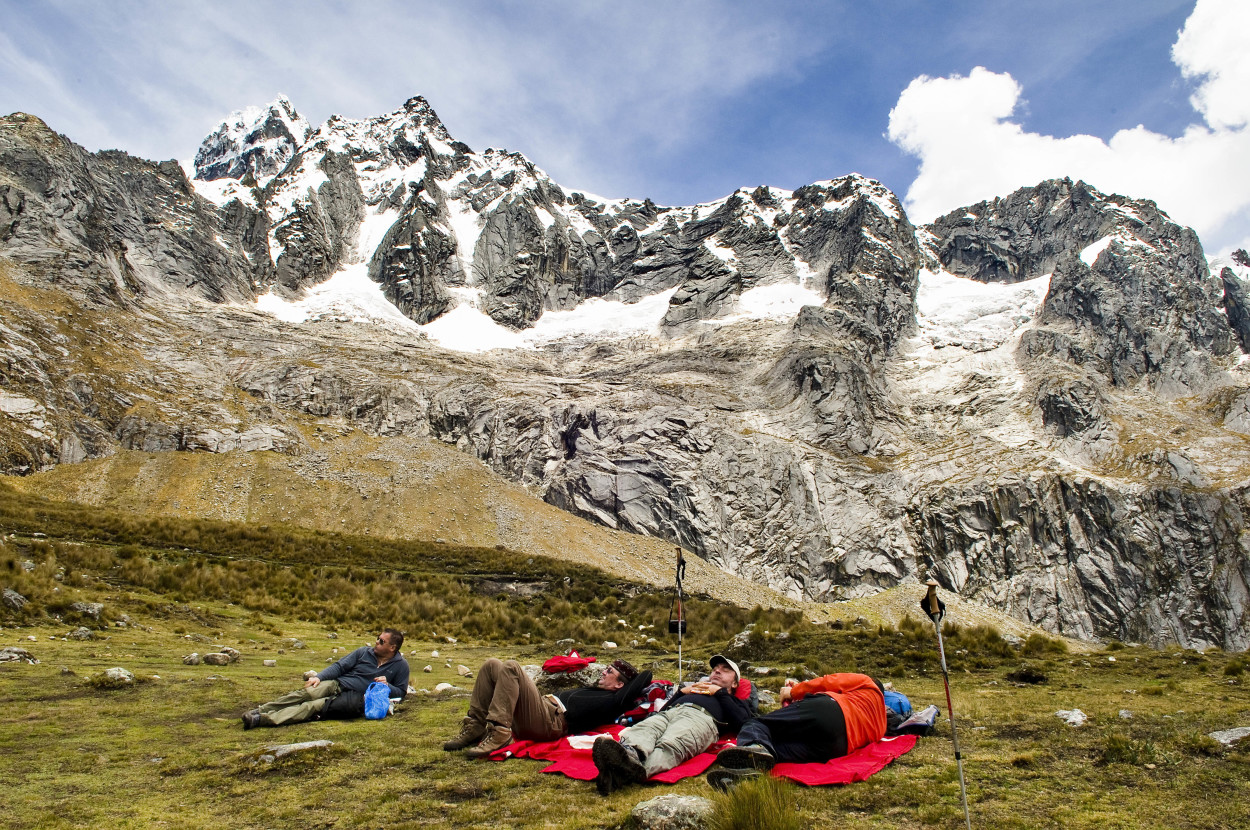
And, here is the long-awaited stop. We can take a breath and have a snack.
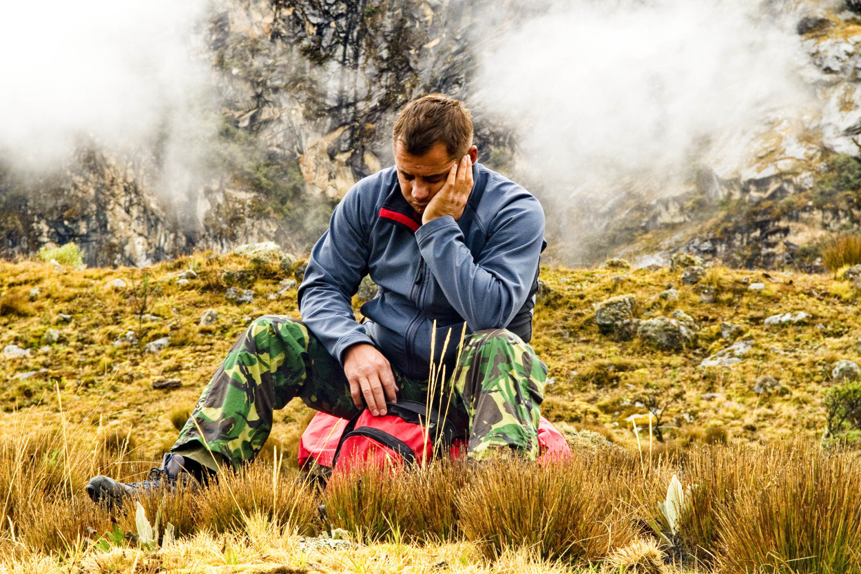
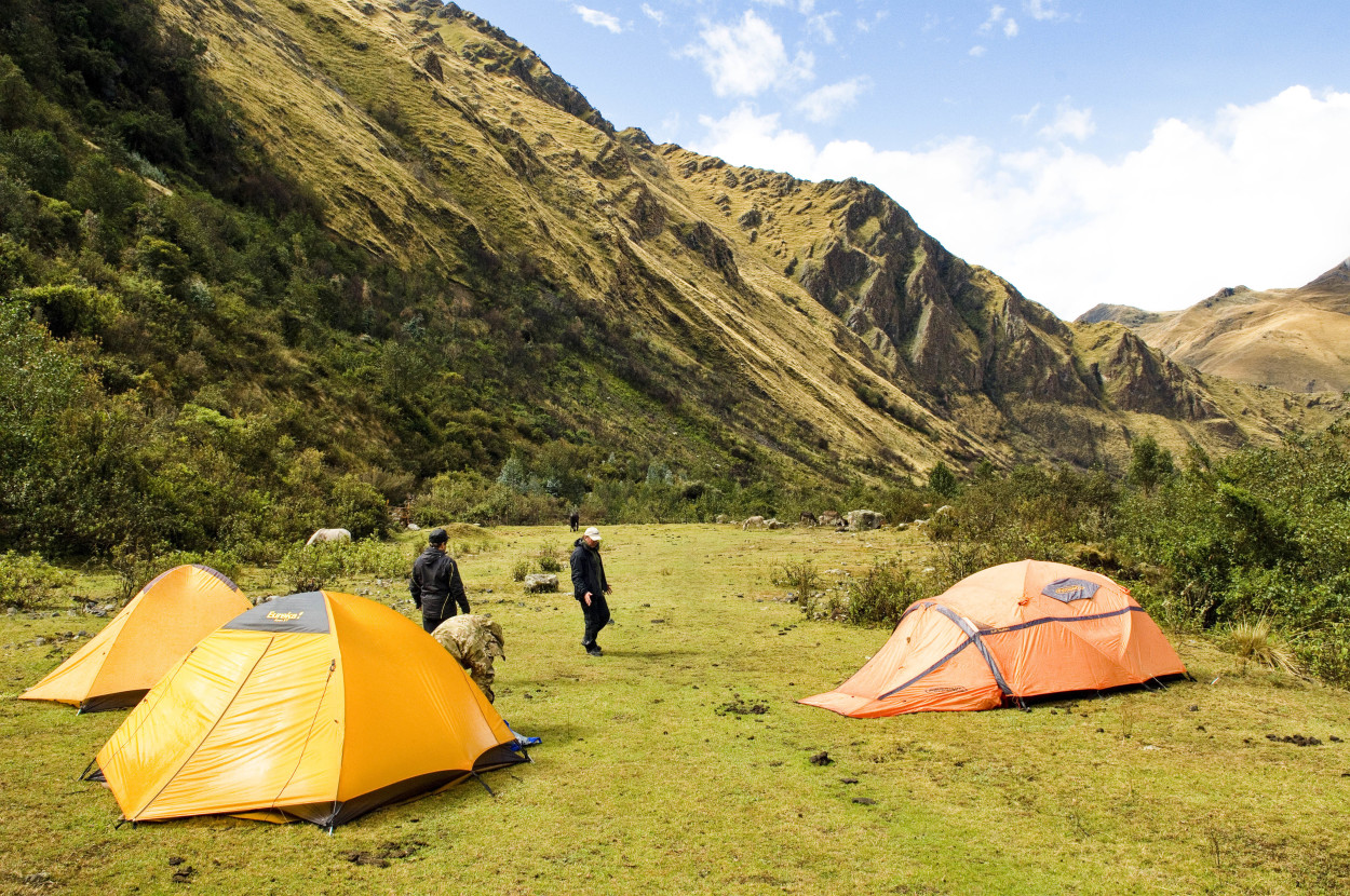
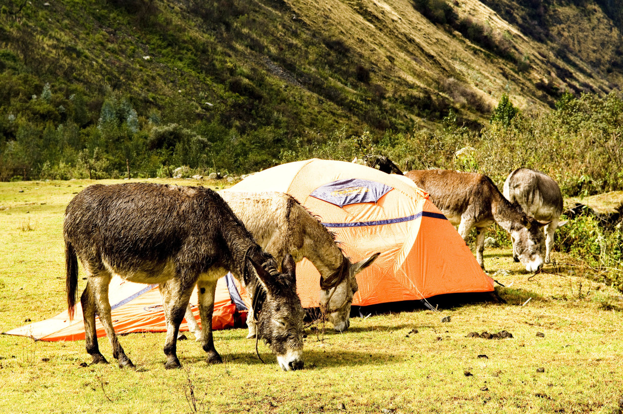
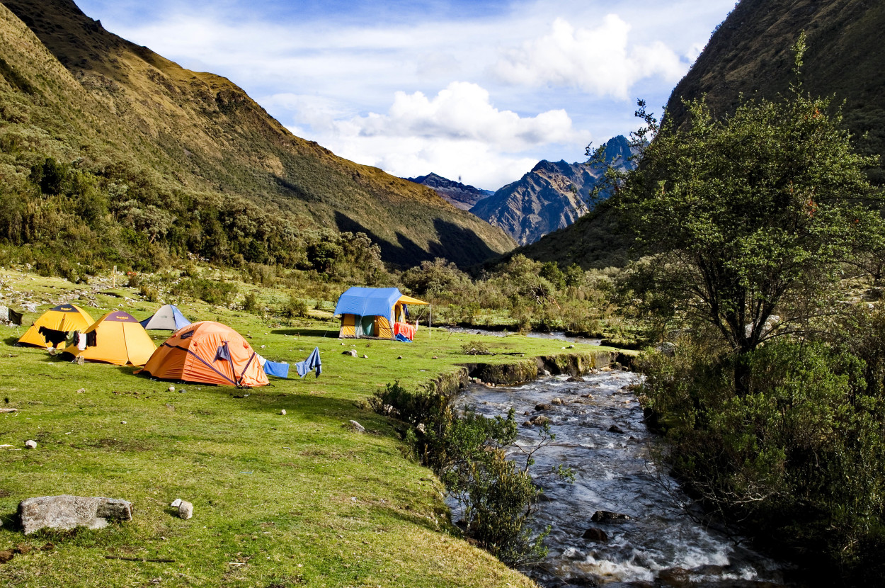
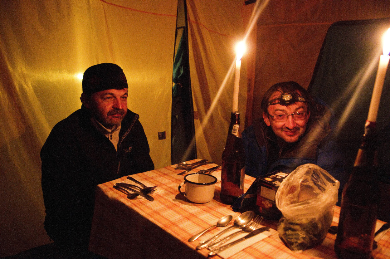
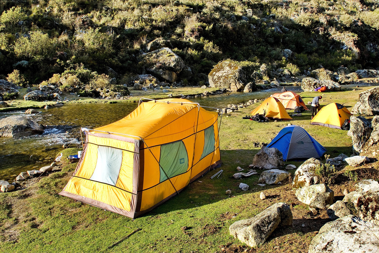
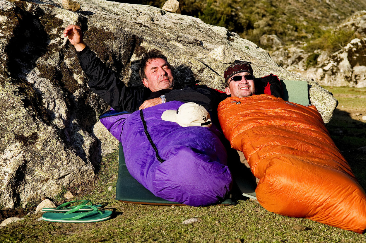
After 6 hours of hard trekking, wet and tired, we reached our camp. We want to change our clothes, as quick as possible, drink some hot tea and get into our sleeping bag.
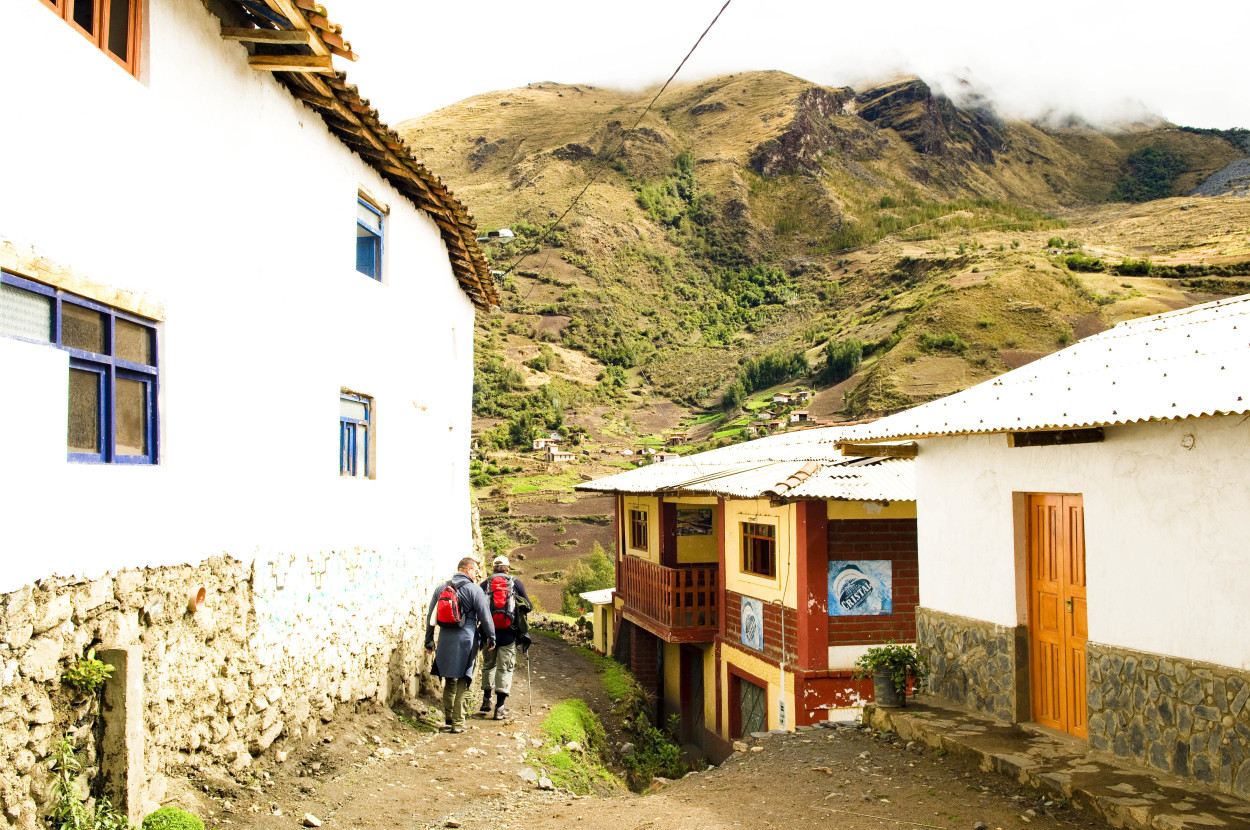
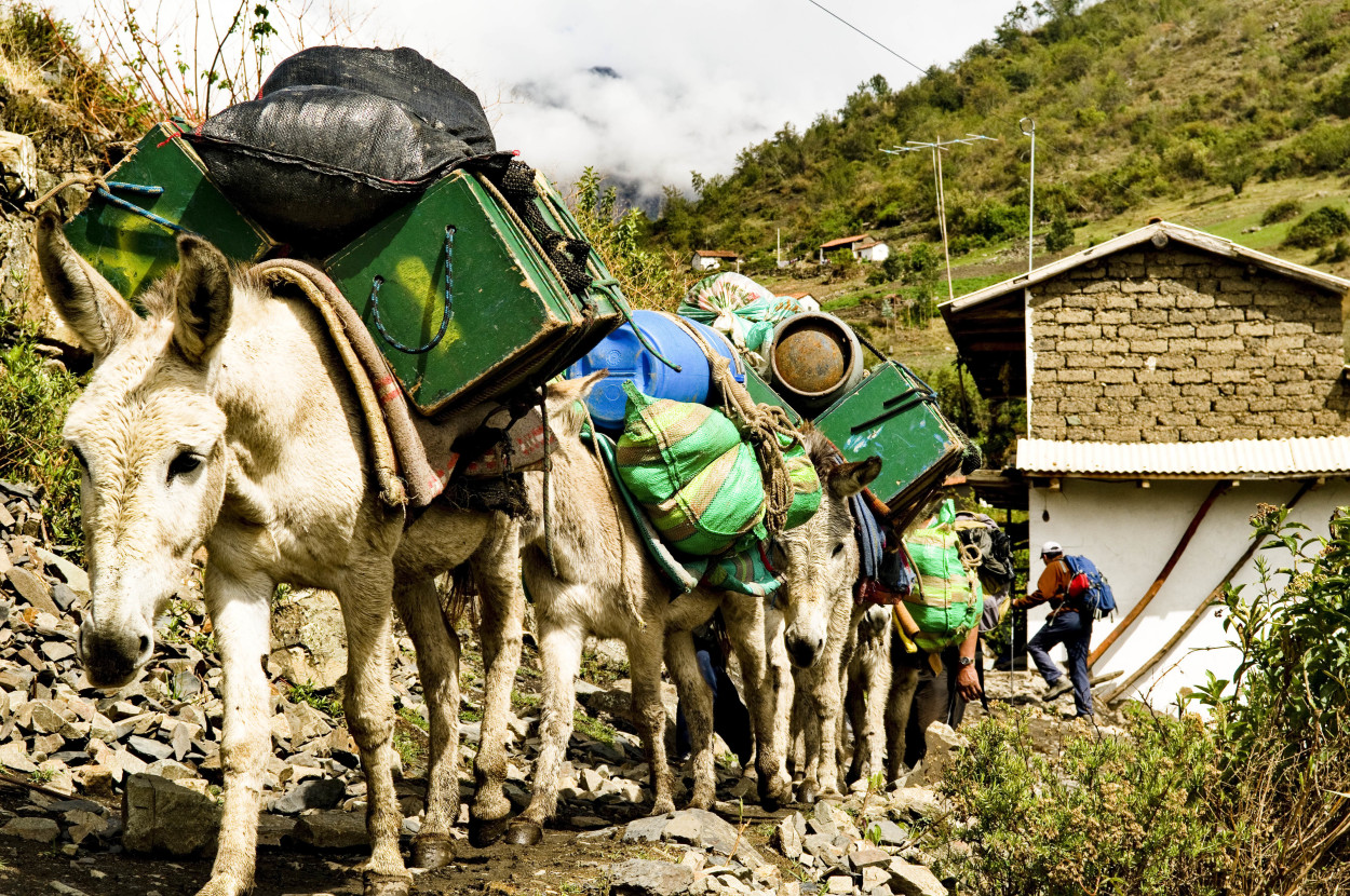
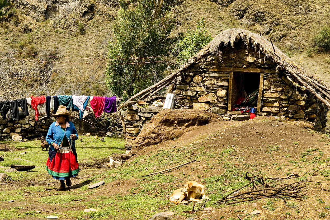
Today, we have to spend 7 hours of trekking to our next camp, which is located at an altitude of 4200 meters. The weather improved, and our mood as well. Invigorating ourselves with some coca tea, we went further passing by a highland village, towards the Punta Union pass.
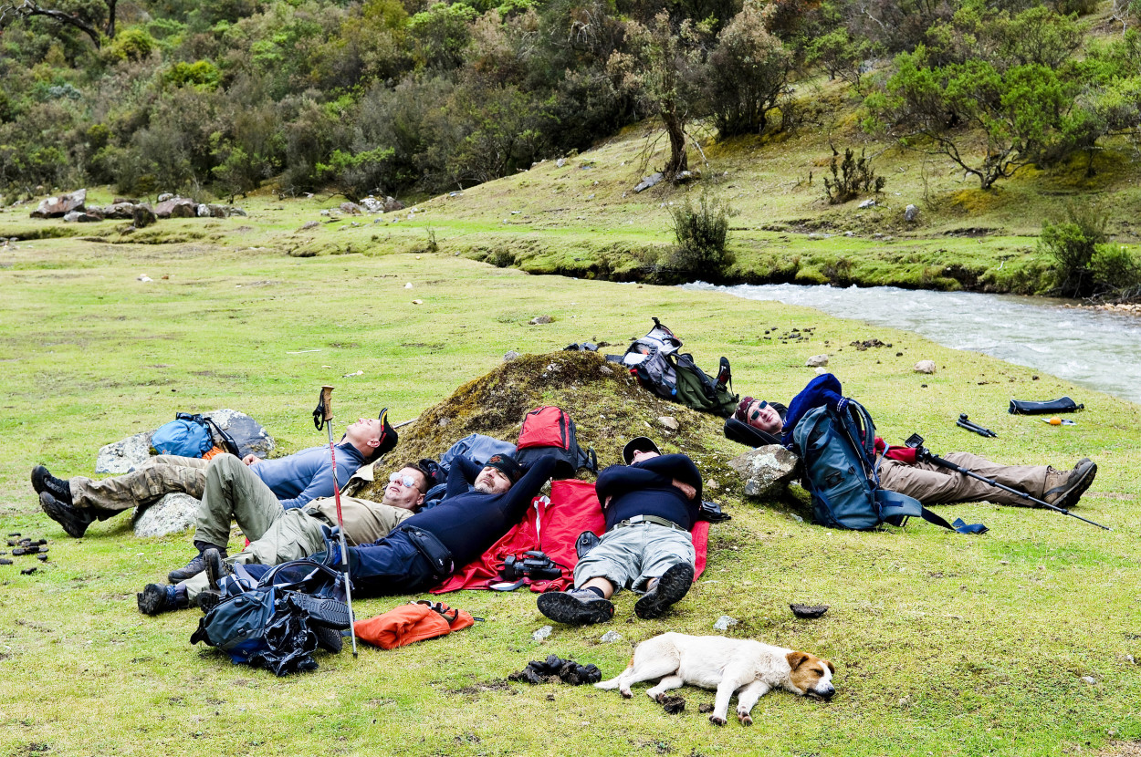
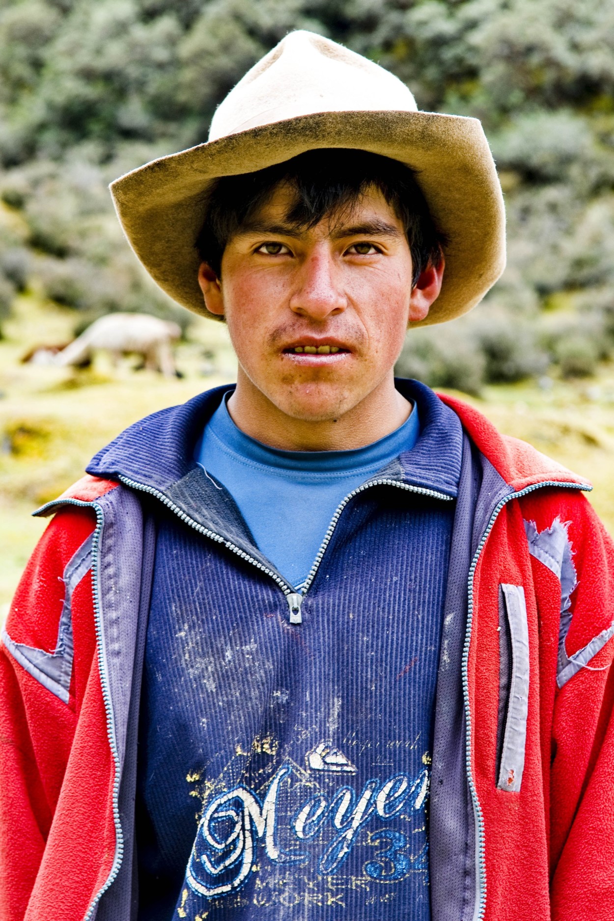
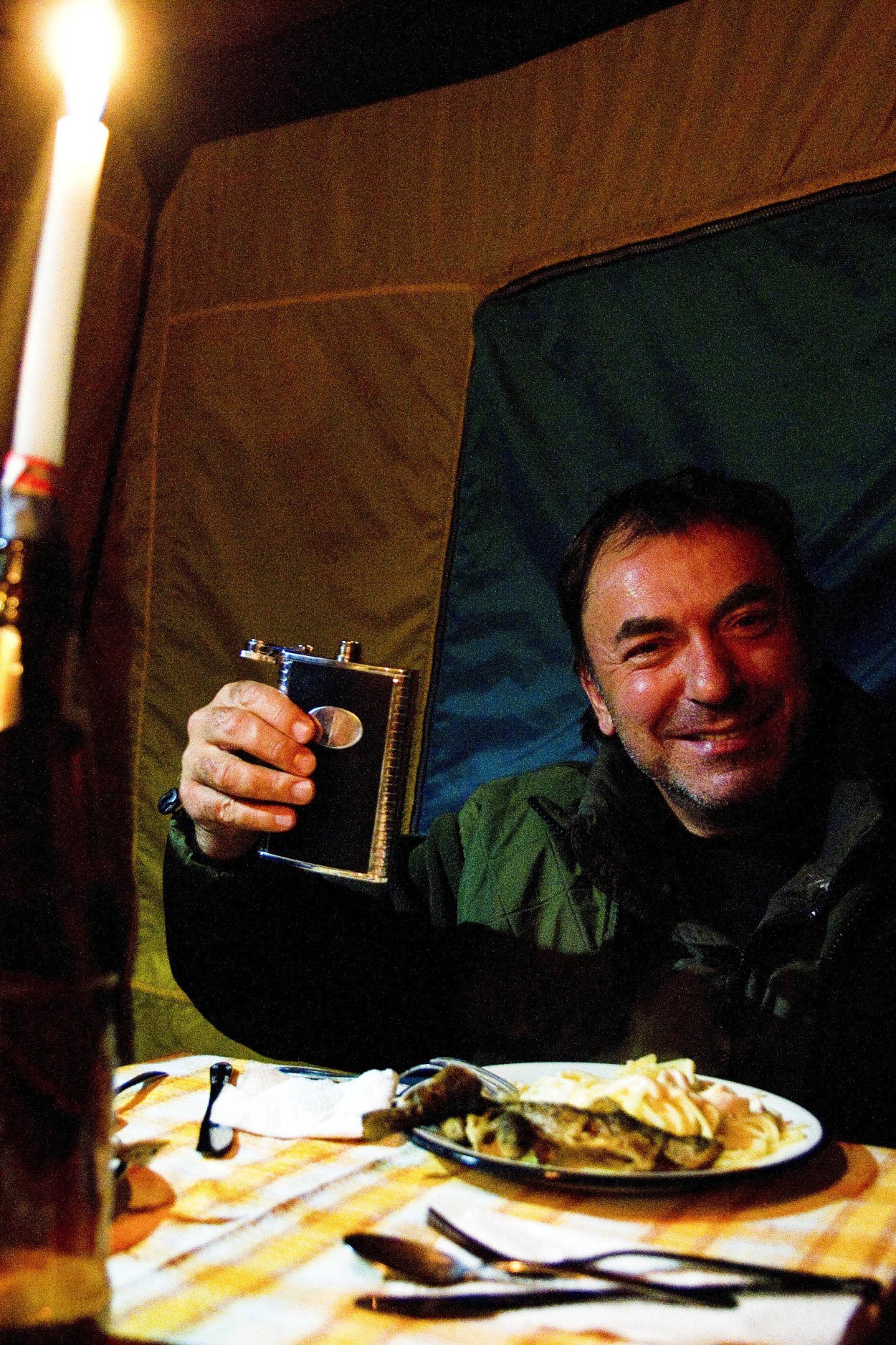
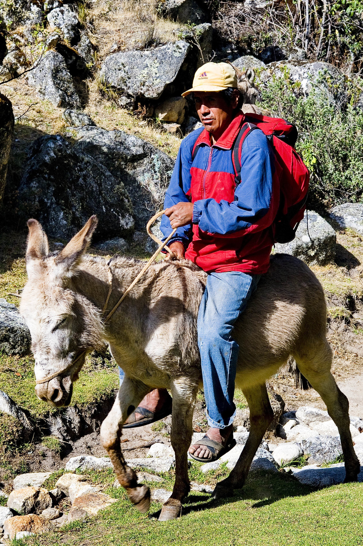
After 3 hours of trekking, we have the long-awaited rest in a picturesque place on the bank of the mountain river. Our chef treated us to some tasty-cooked pasta, and not far away from us, a lonely shepherd watched with great interest at us.
After we had some rest, together with a stray dog, we move on to our camp. The tiredness has disappeared and the great weather allows us enjoy the mountain scenery.
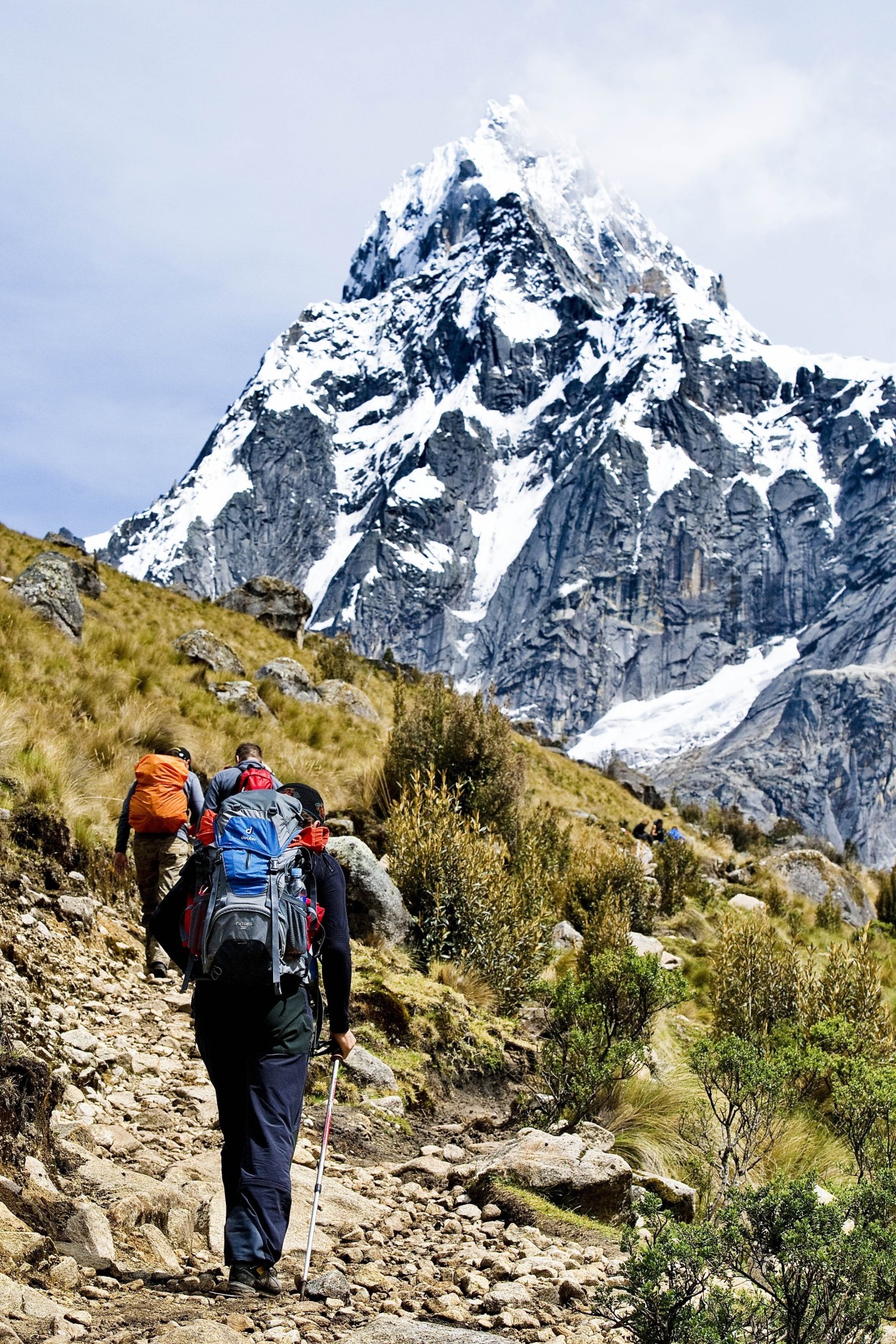
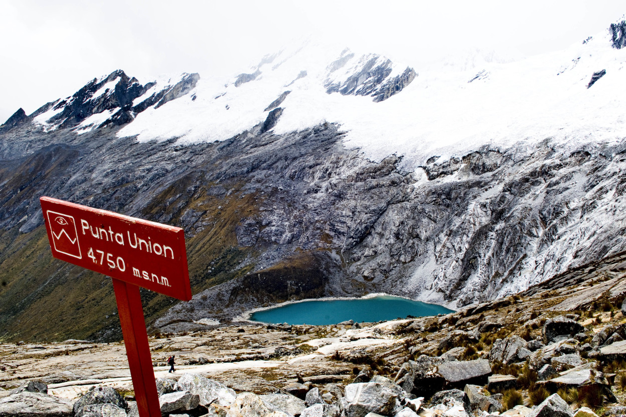
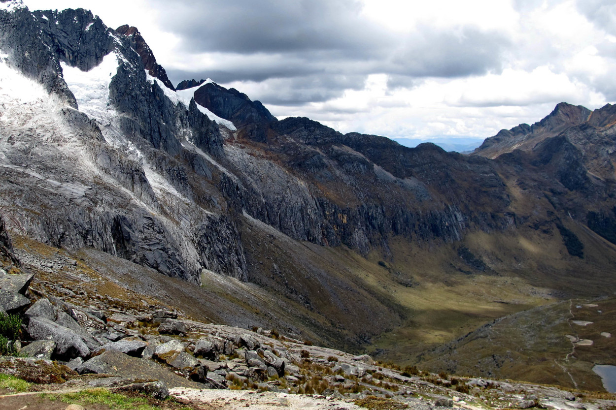
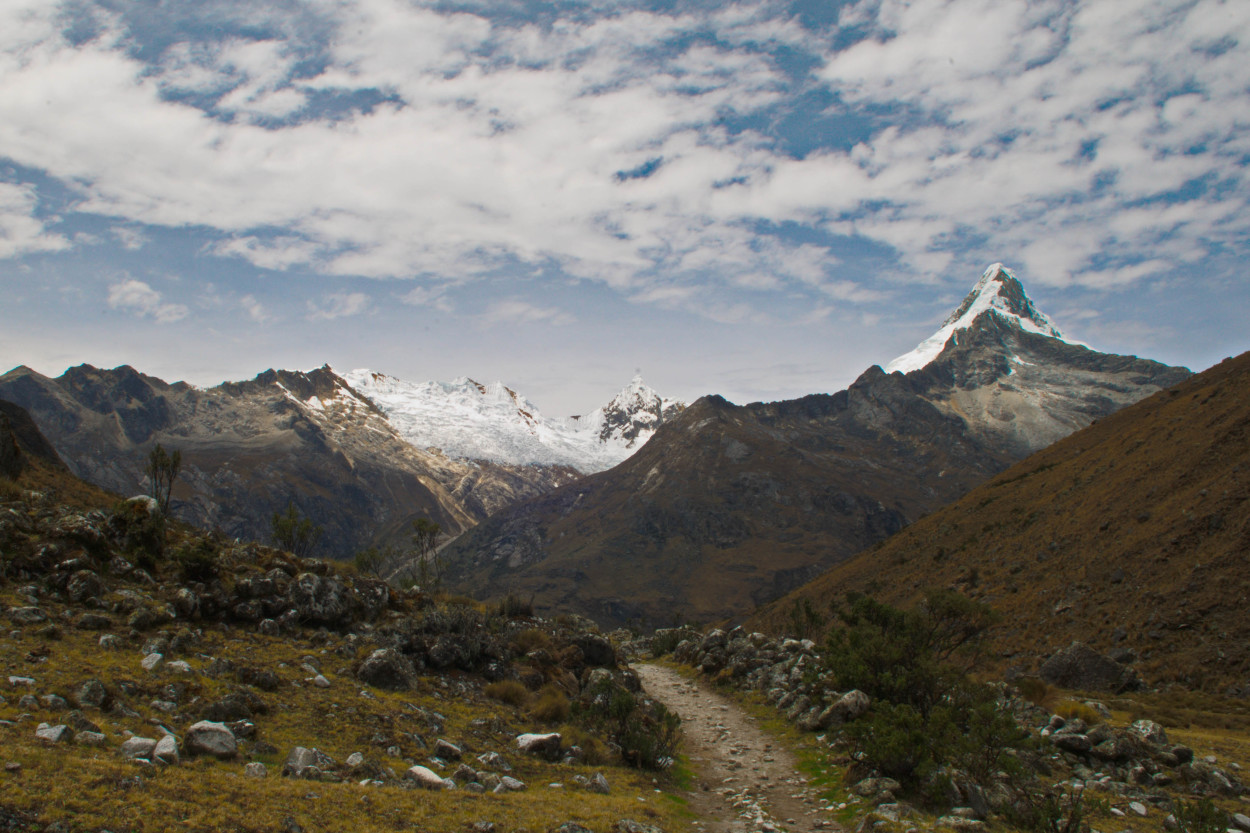
Today is the most difficult day of our expedition. We have to cover 7 hours of trekking and cross the Punta Union pass, whose altitude is of 4750 meters. This is the highest point of the route. Great weather, beautiful views of the gorge and the mountain peaks, cheer up, and we head forward along the route to our next camp.
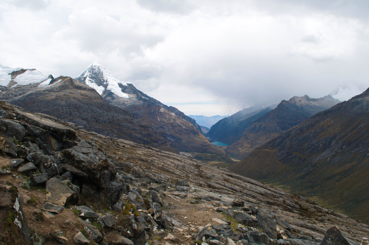
After a difficult hiking, we have finally reached the Punta Union pass. The view of the two gorges is just fabulous here.
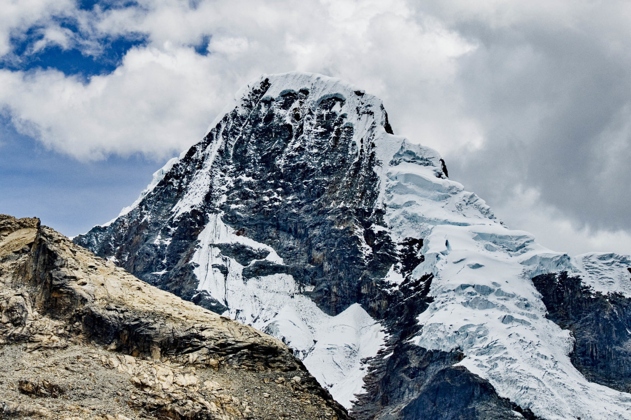
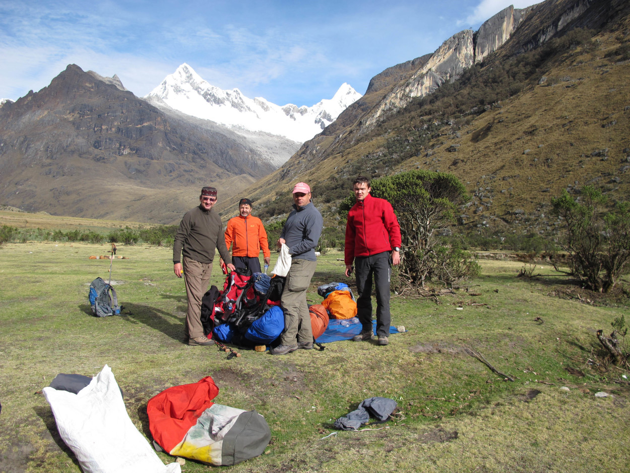
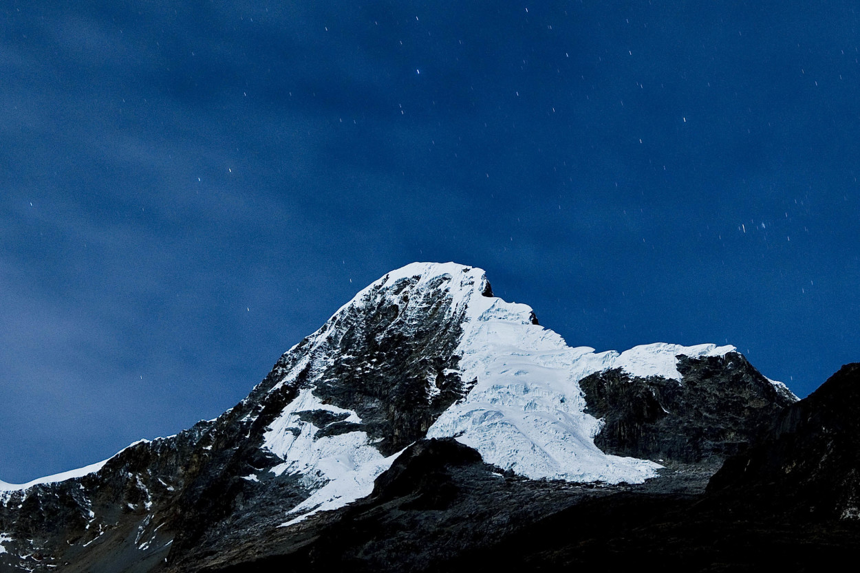
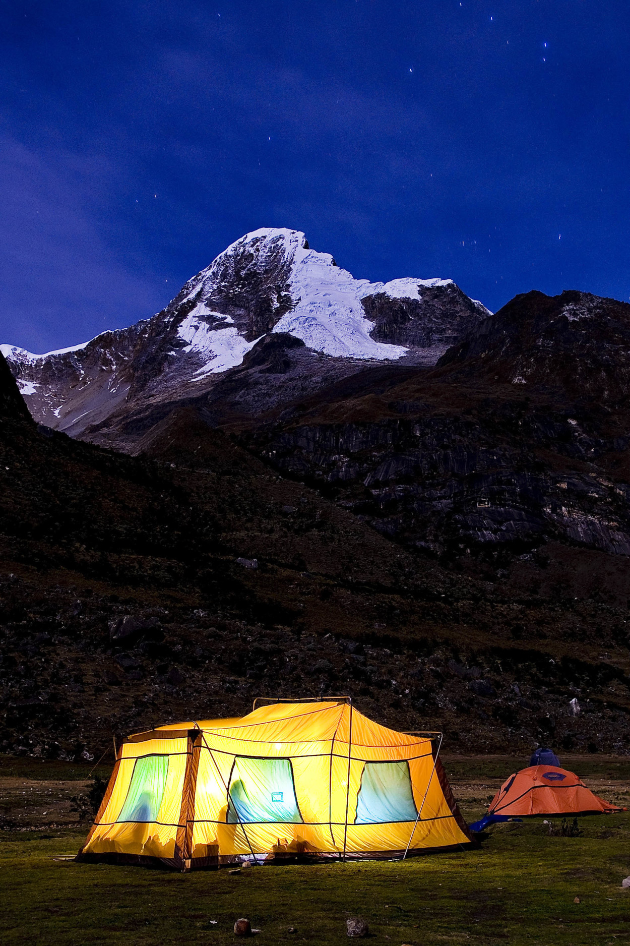
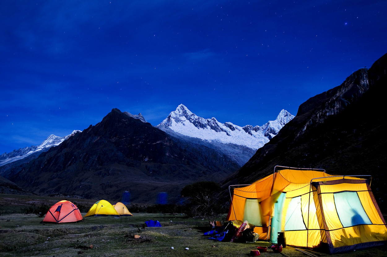
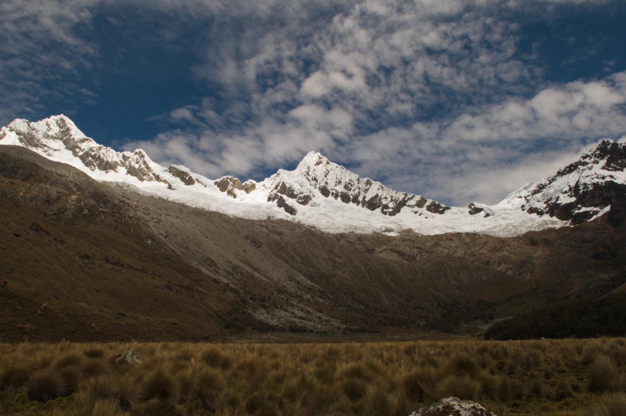
For today, all the hardest is left behind. We have to descend into the gorge to the camp, where a delicious dinner and great friends are waiting for us … Our camp is located at an altitude of 3900 meters, at the foothill of Artesonraju mountain, which became the symbol of the Paramount Pictures company.
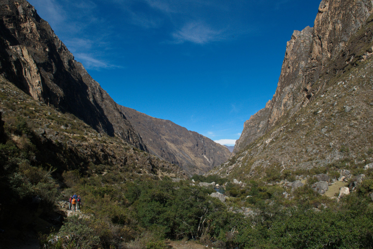
Today we have to spend 7 hours of trekking along the gorge to the next camp.
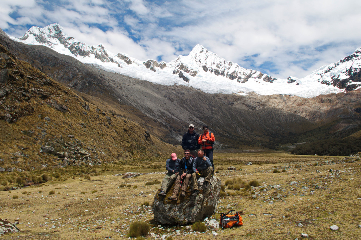
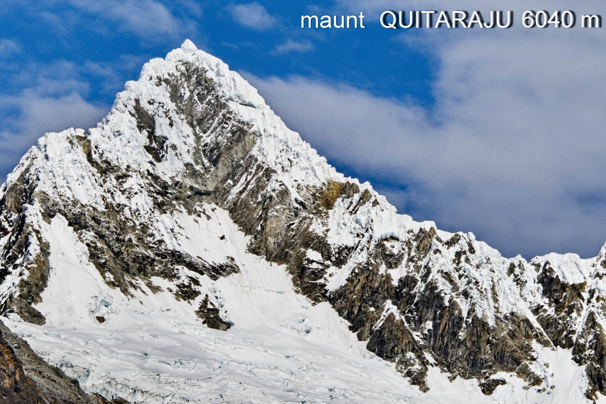
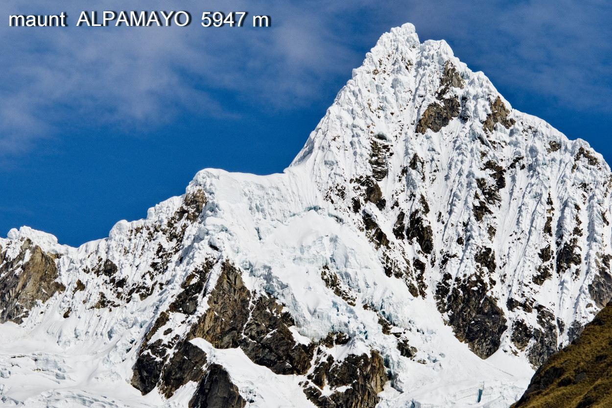
And, we finally reached the foothill of the Alpamayo mountain. Here the alpinists begin their ascent to the top of Alpamayo and Kitarahu.
But we have to move on to our last camp.
So, the last 5 hours of expedition have left. Our trekking will cover the scenic places of the lower part of the gorge walking out near the Cashapampa village, situated at an altitude of 2600 meters, where we are waited to be taken back to the lodge.
It’s morning, and we have to take the road.
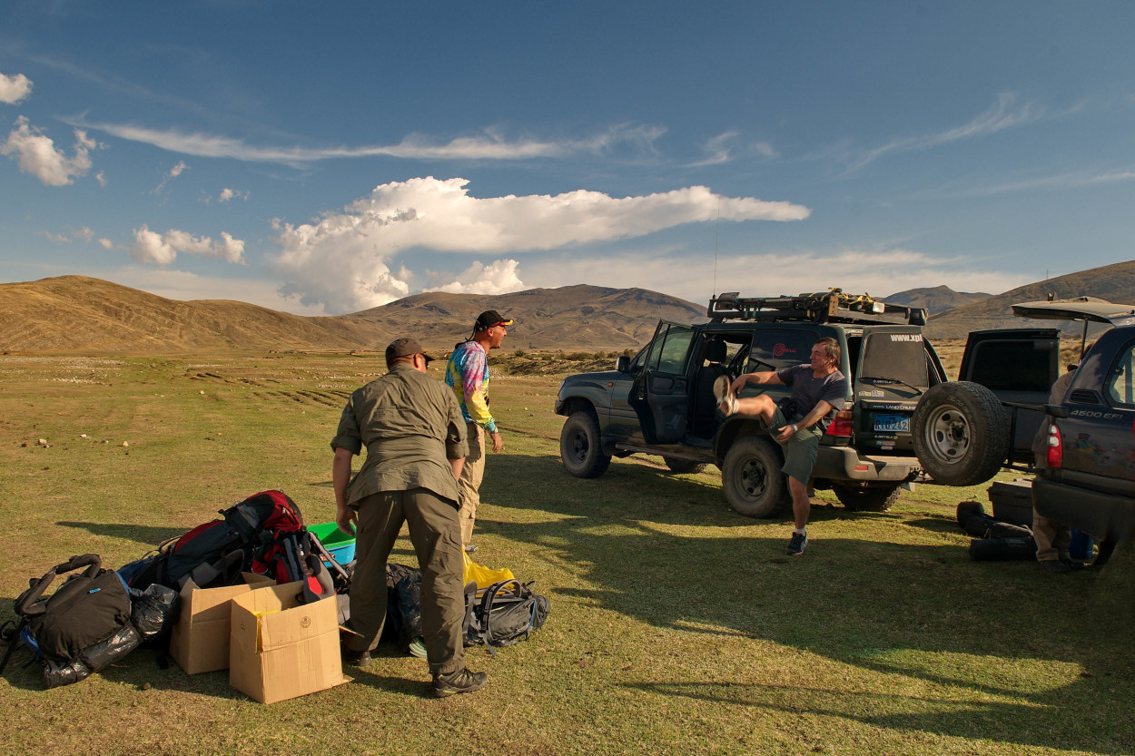
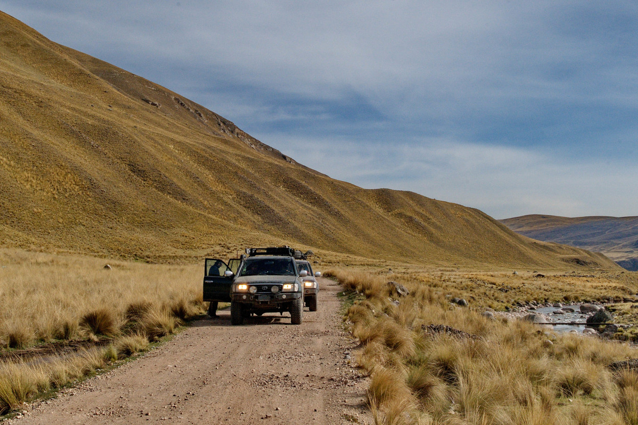
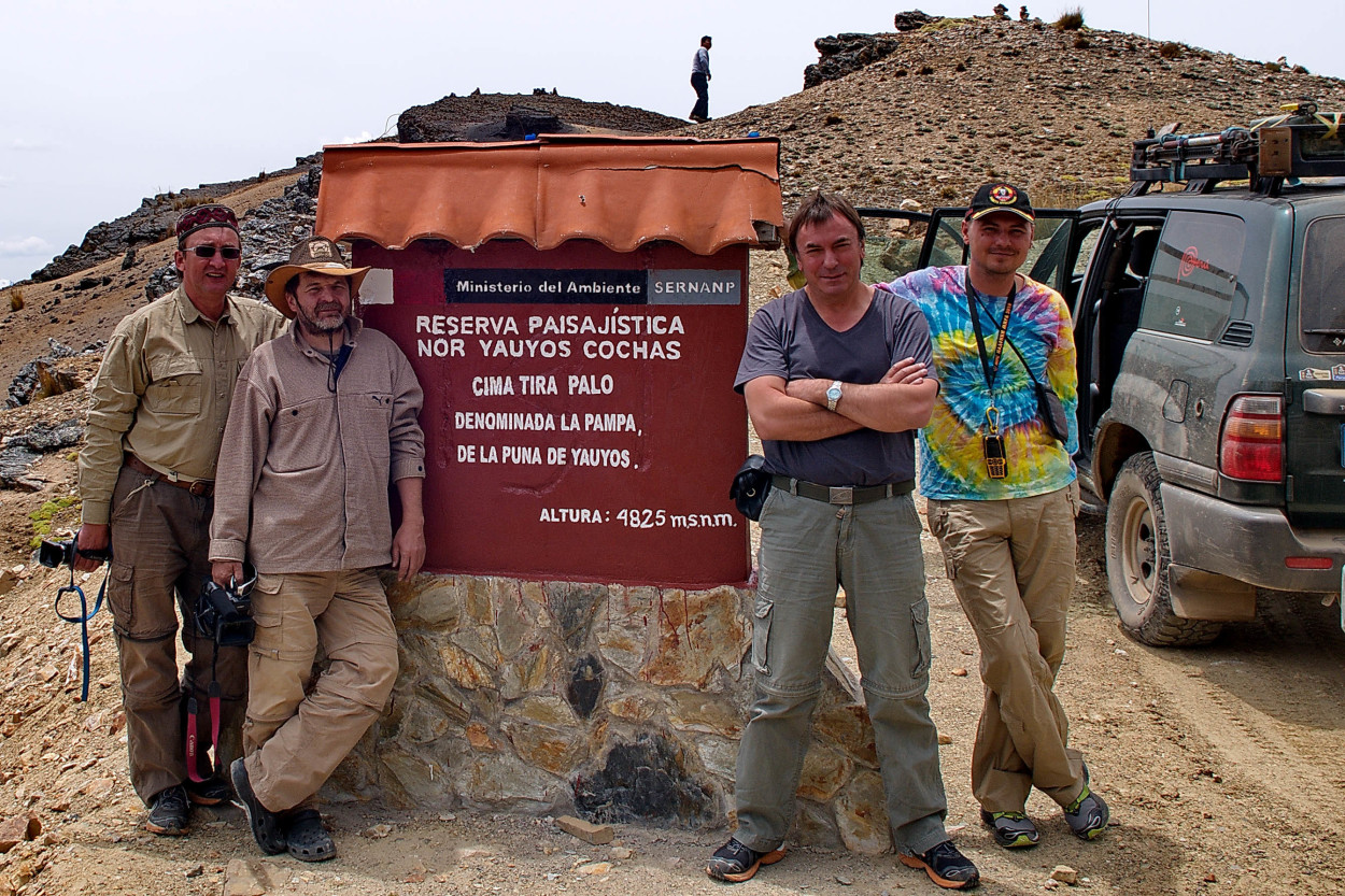
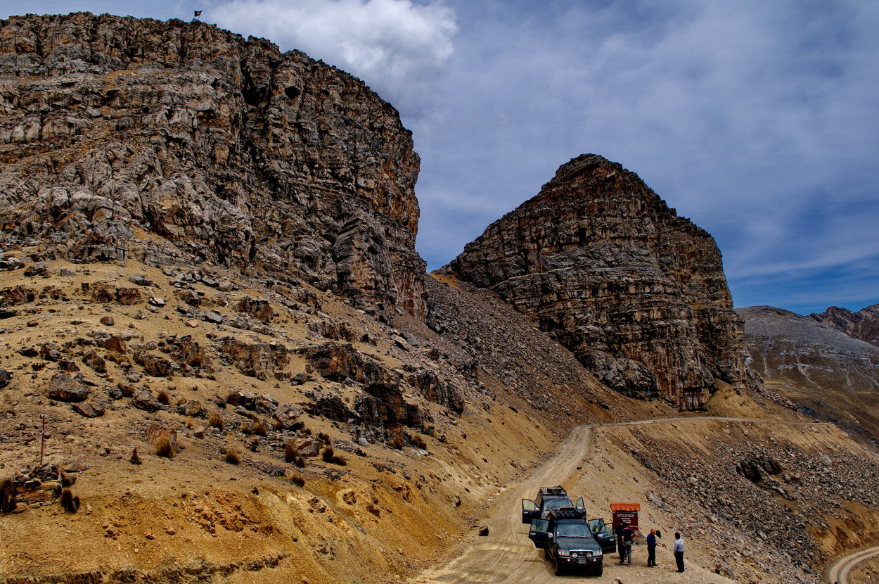
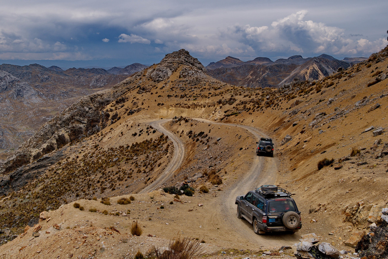
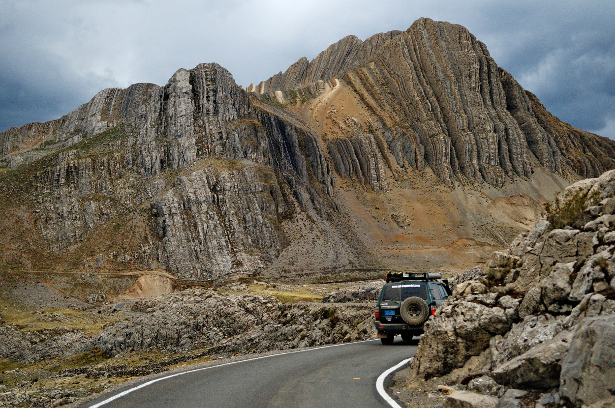
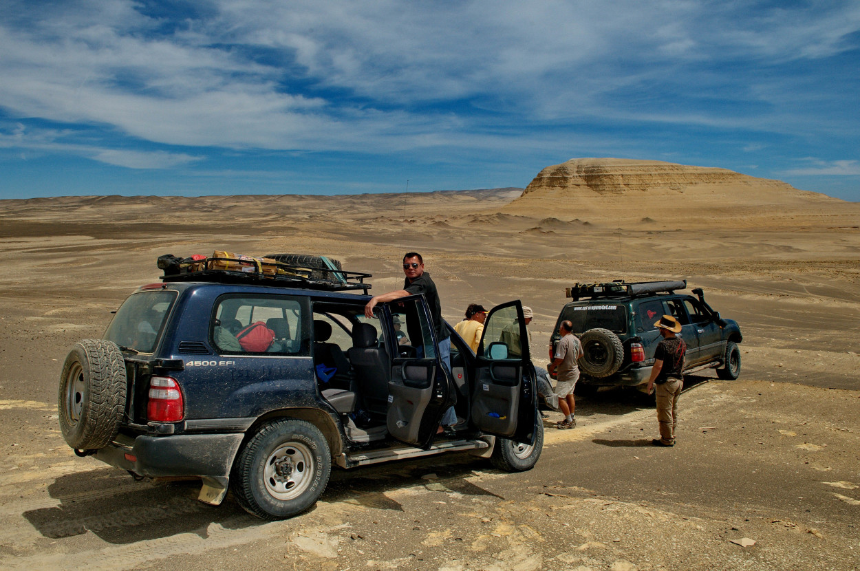
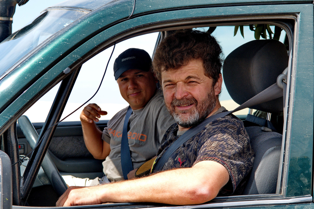
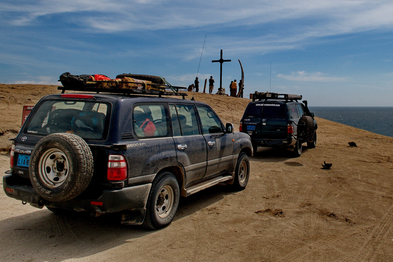
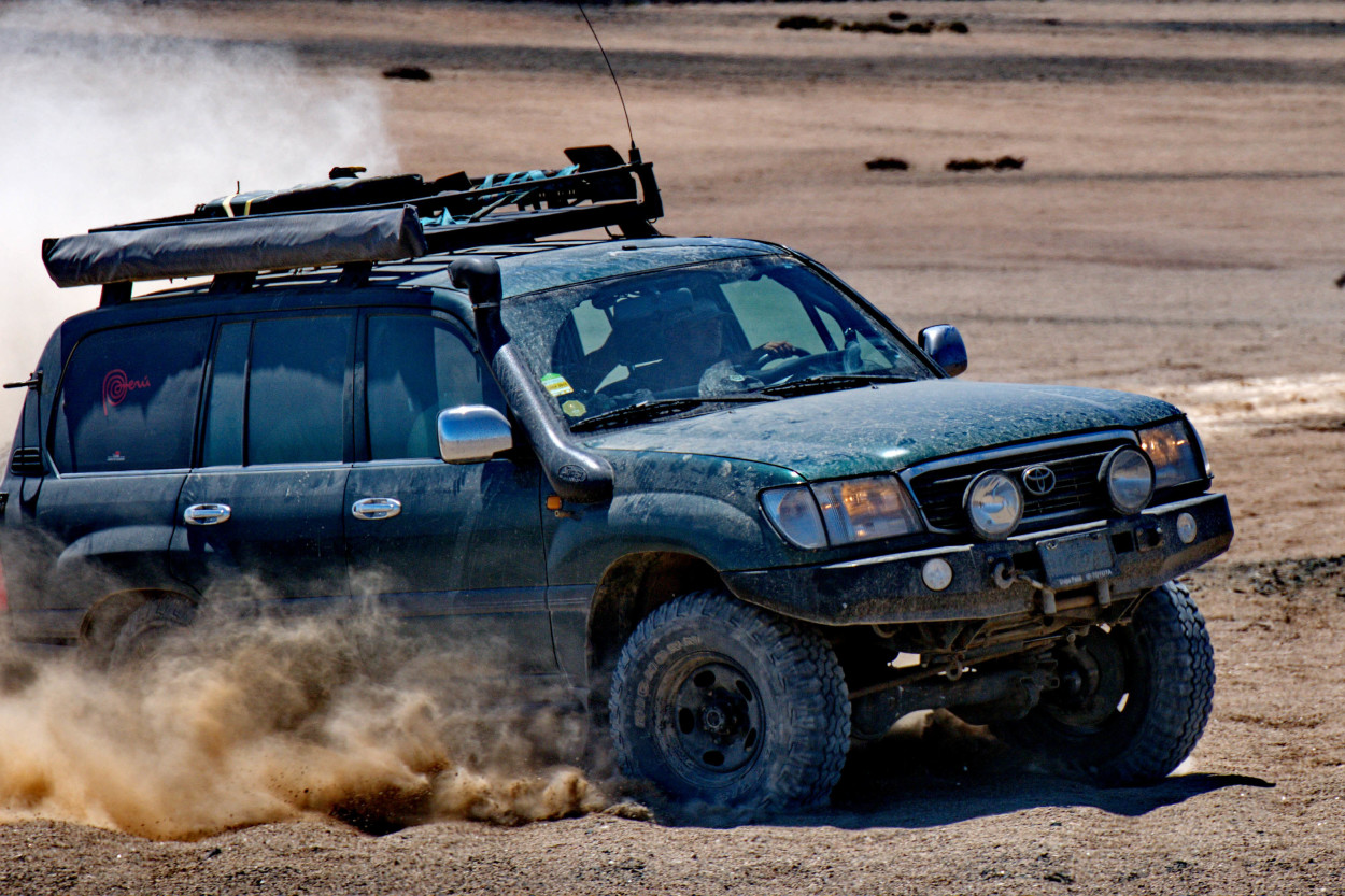
On two jeeps, being accompanied by the trainer of the Dakar rally, Alberto,
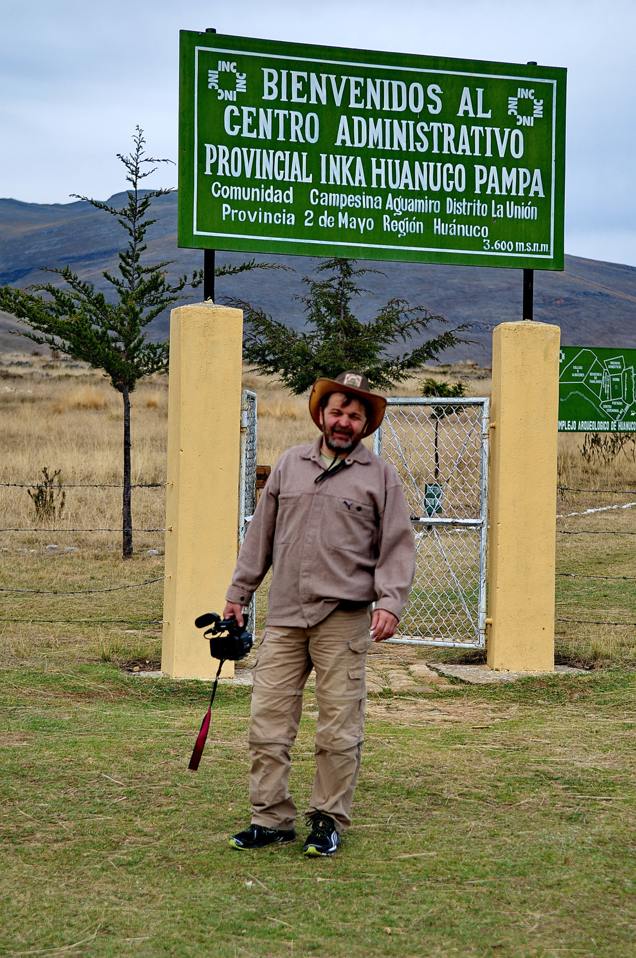
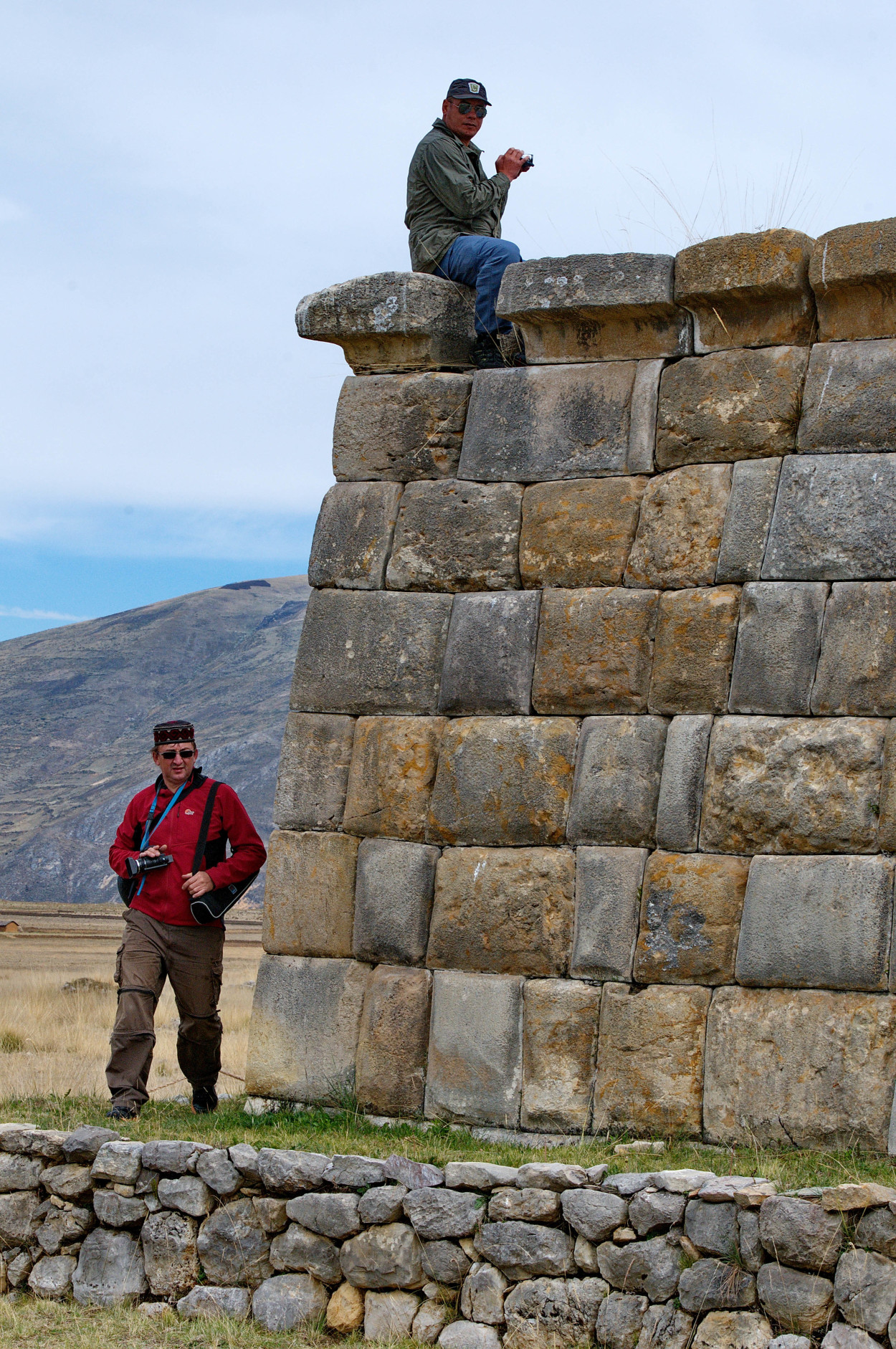
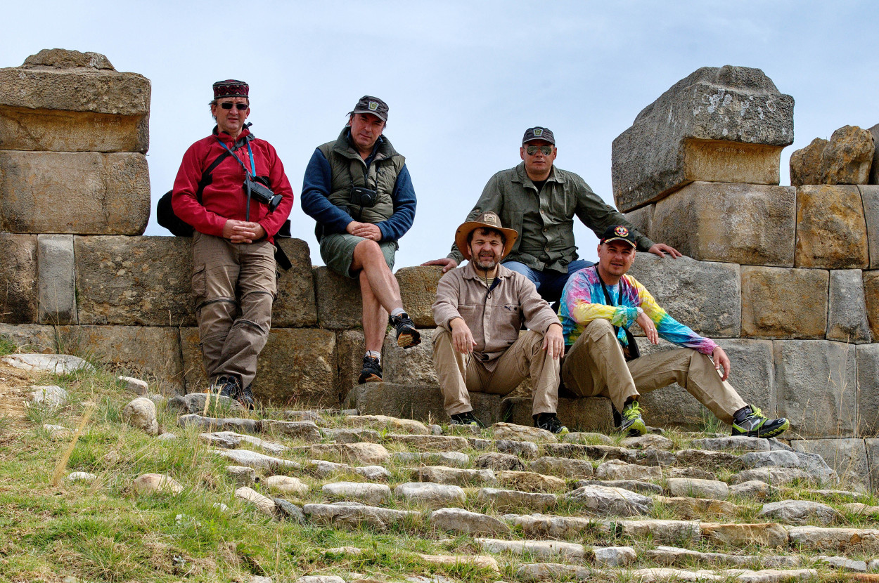
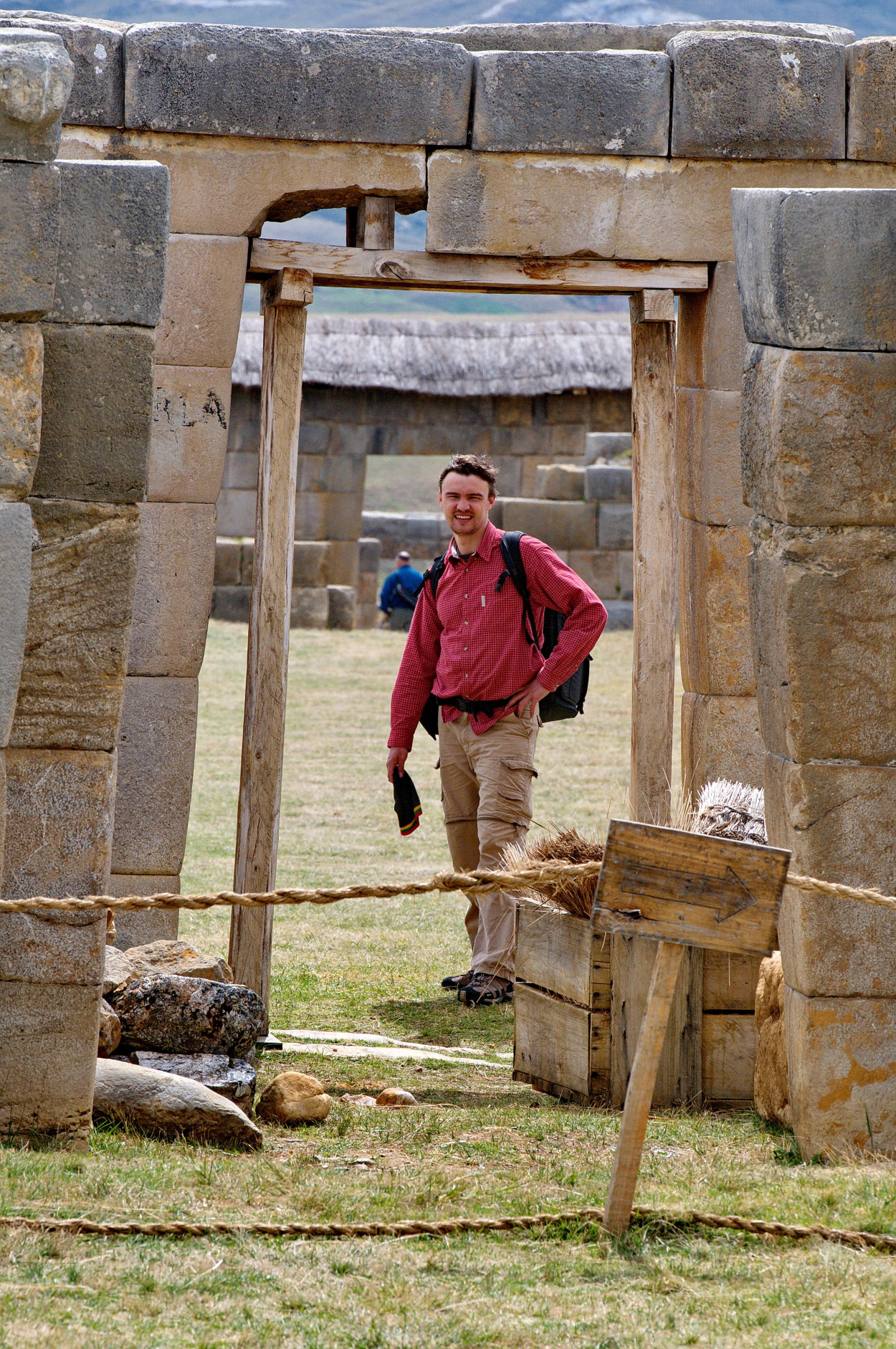
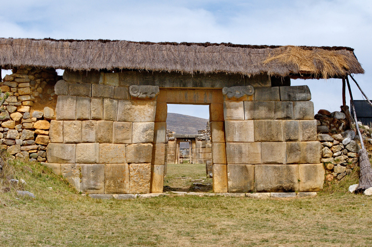
we drive to the south-east to the ancient city of the Inca, Huanuco Pampa, situated at the crossroads of the trade routes of the ancient Inca civilization.
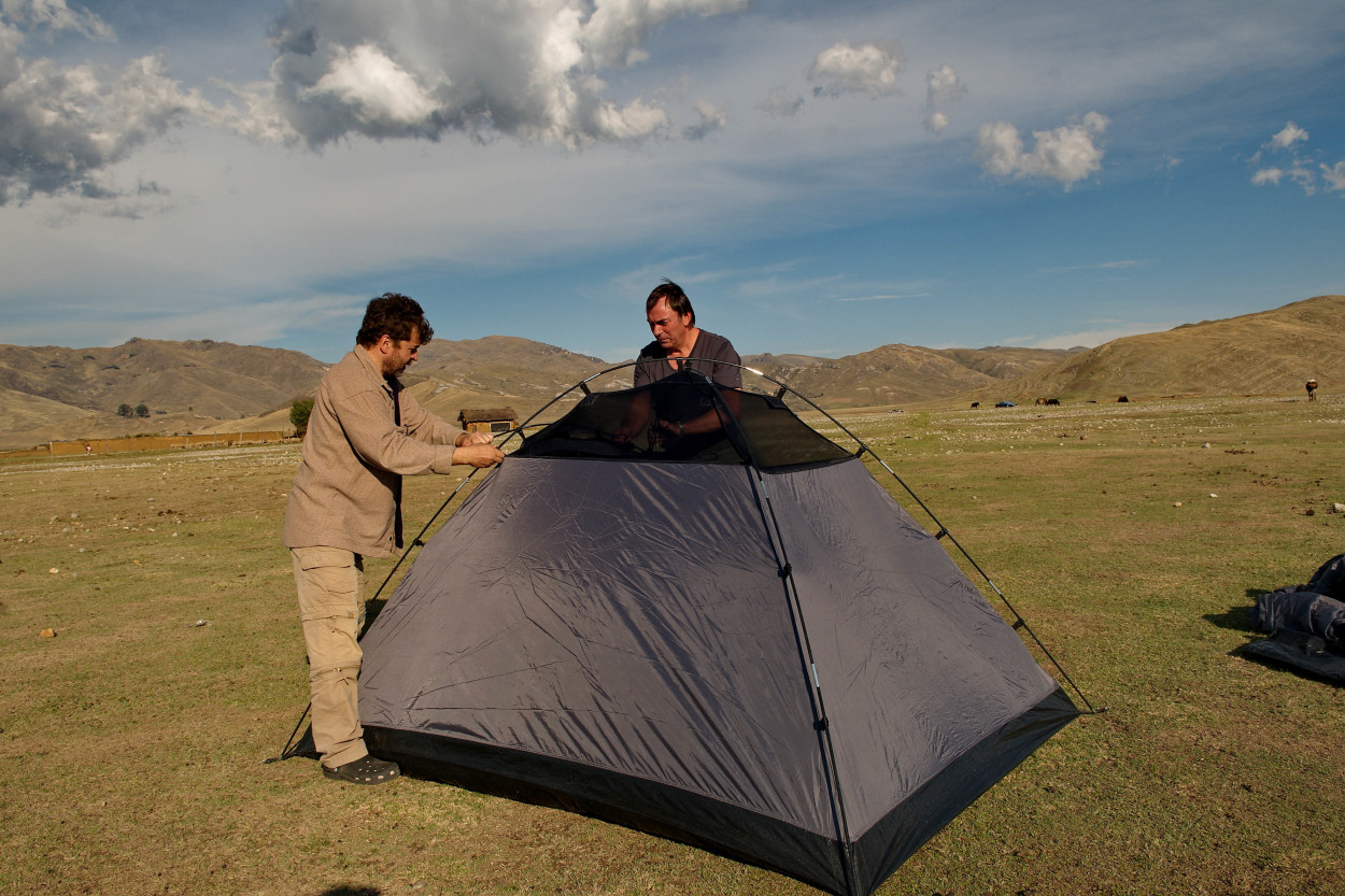
We have decided to set our next camp also here.
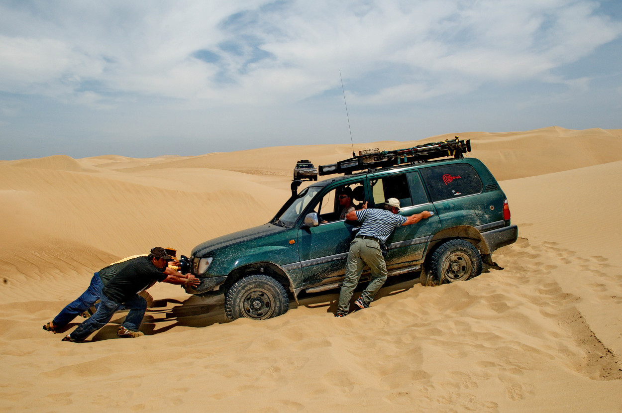
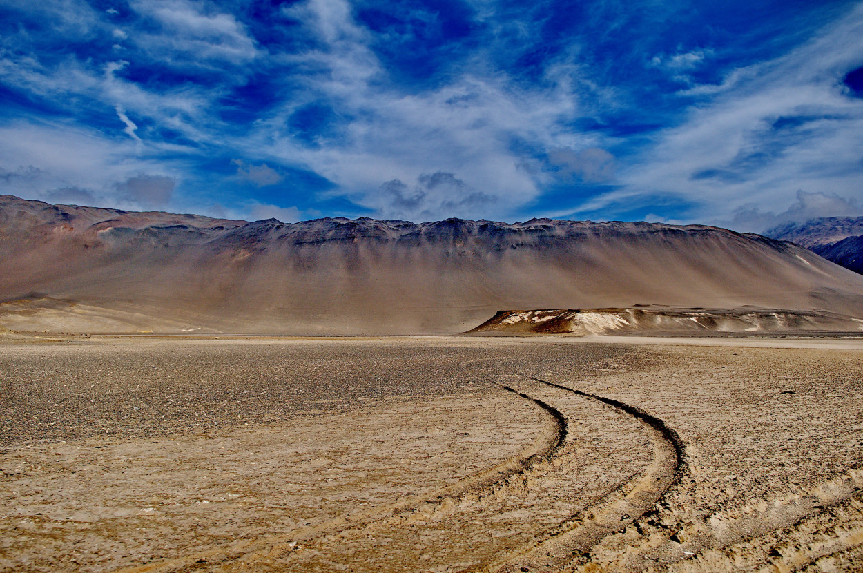
Further we go to the South, to the Atacama desert.
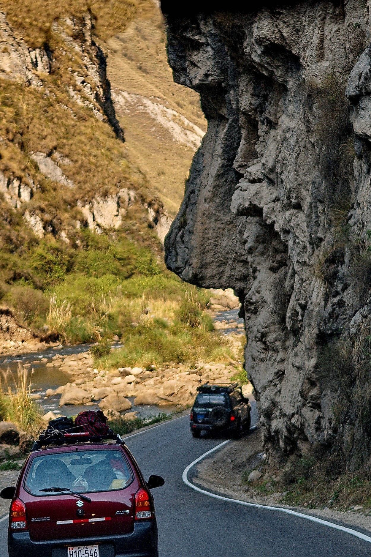
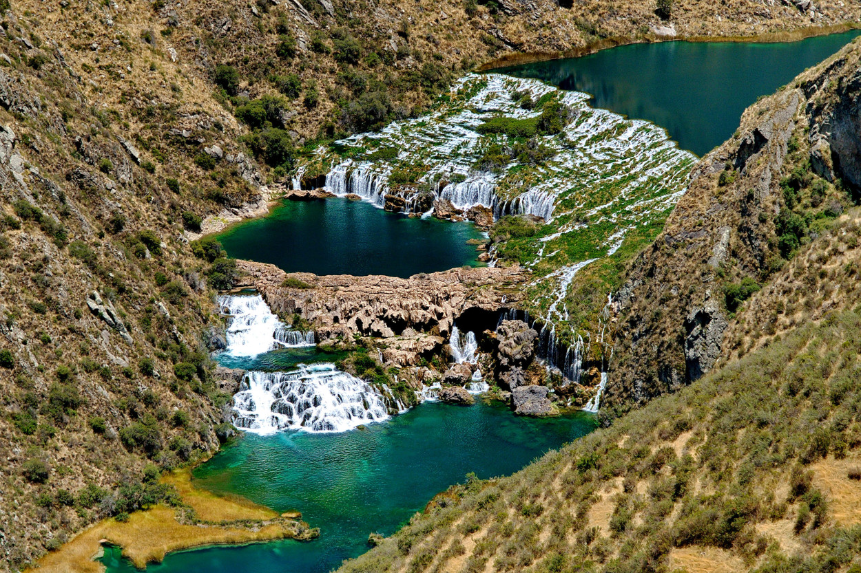
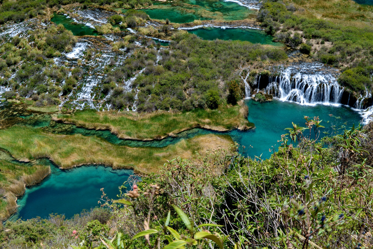
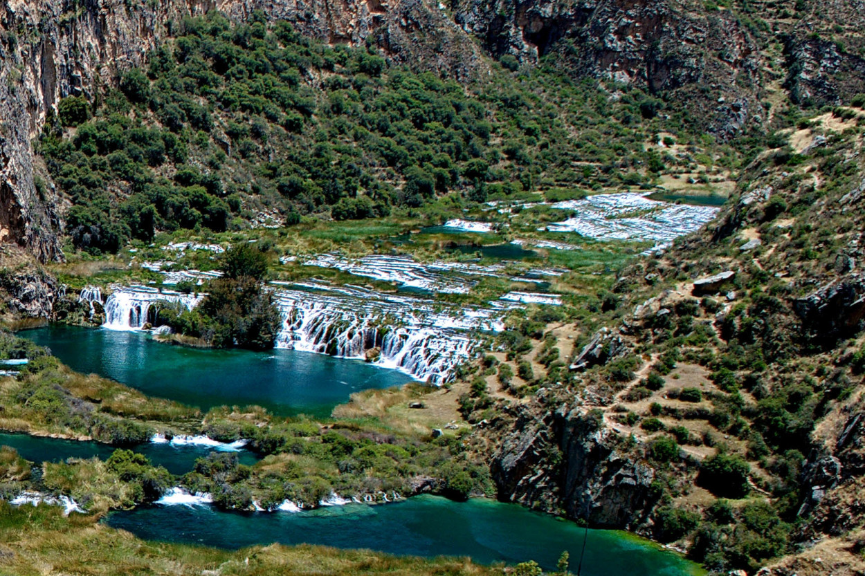
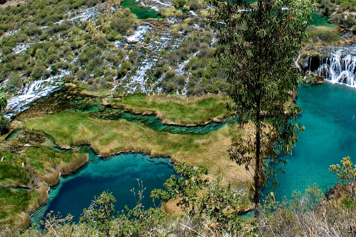
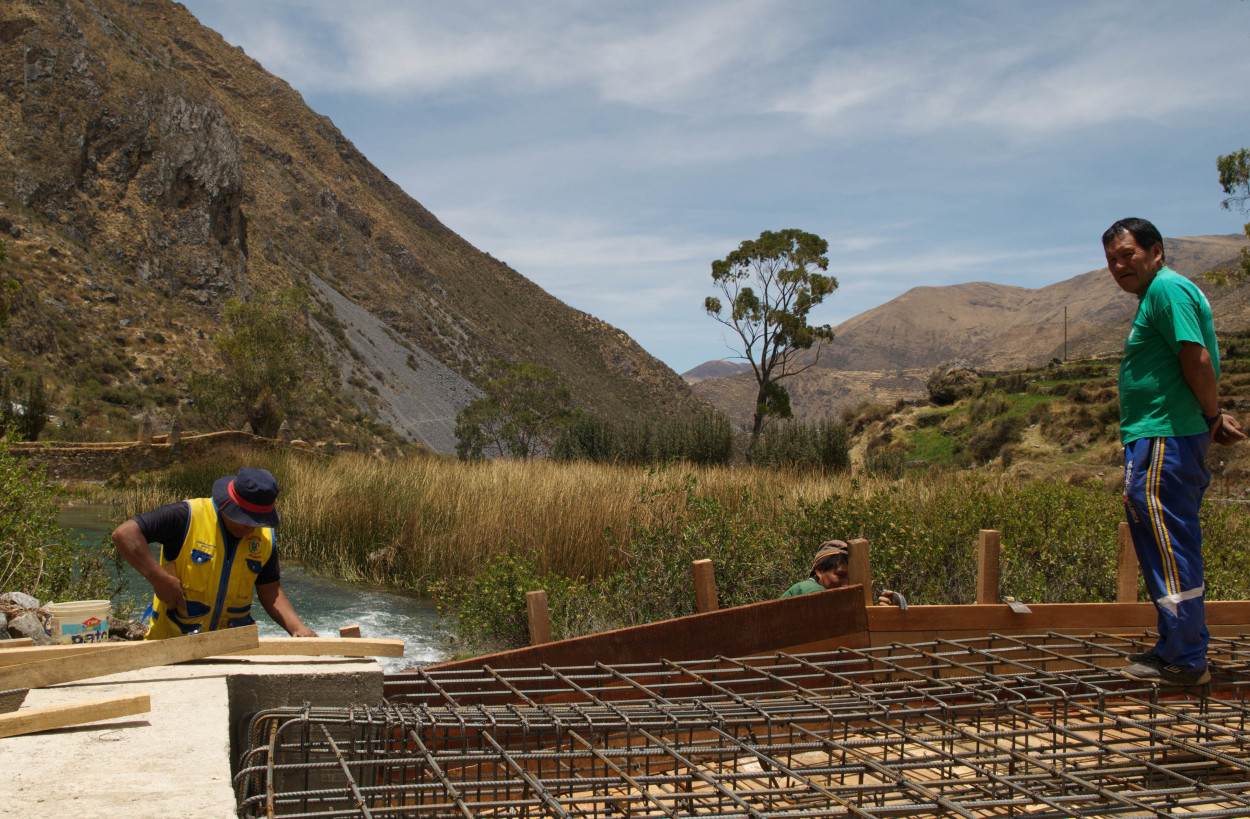
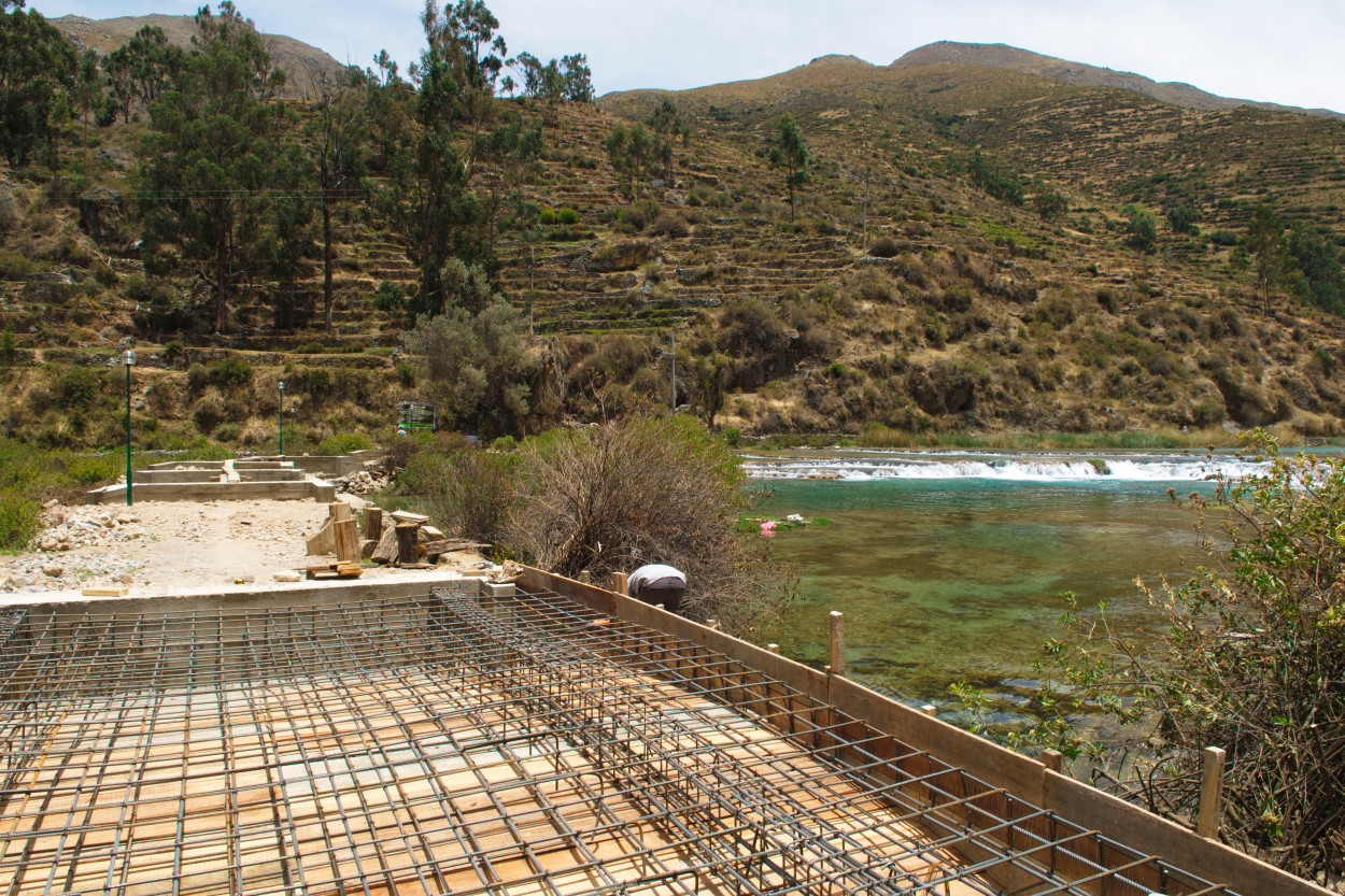
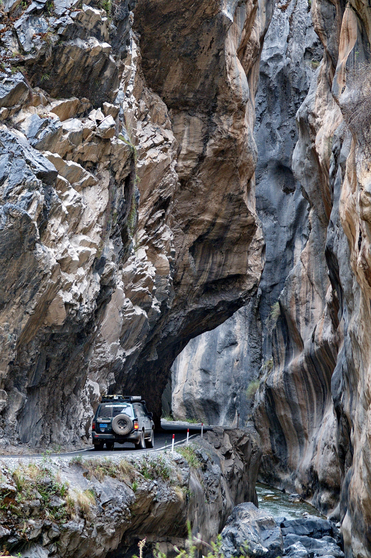
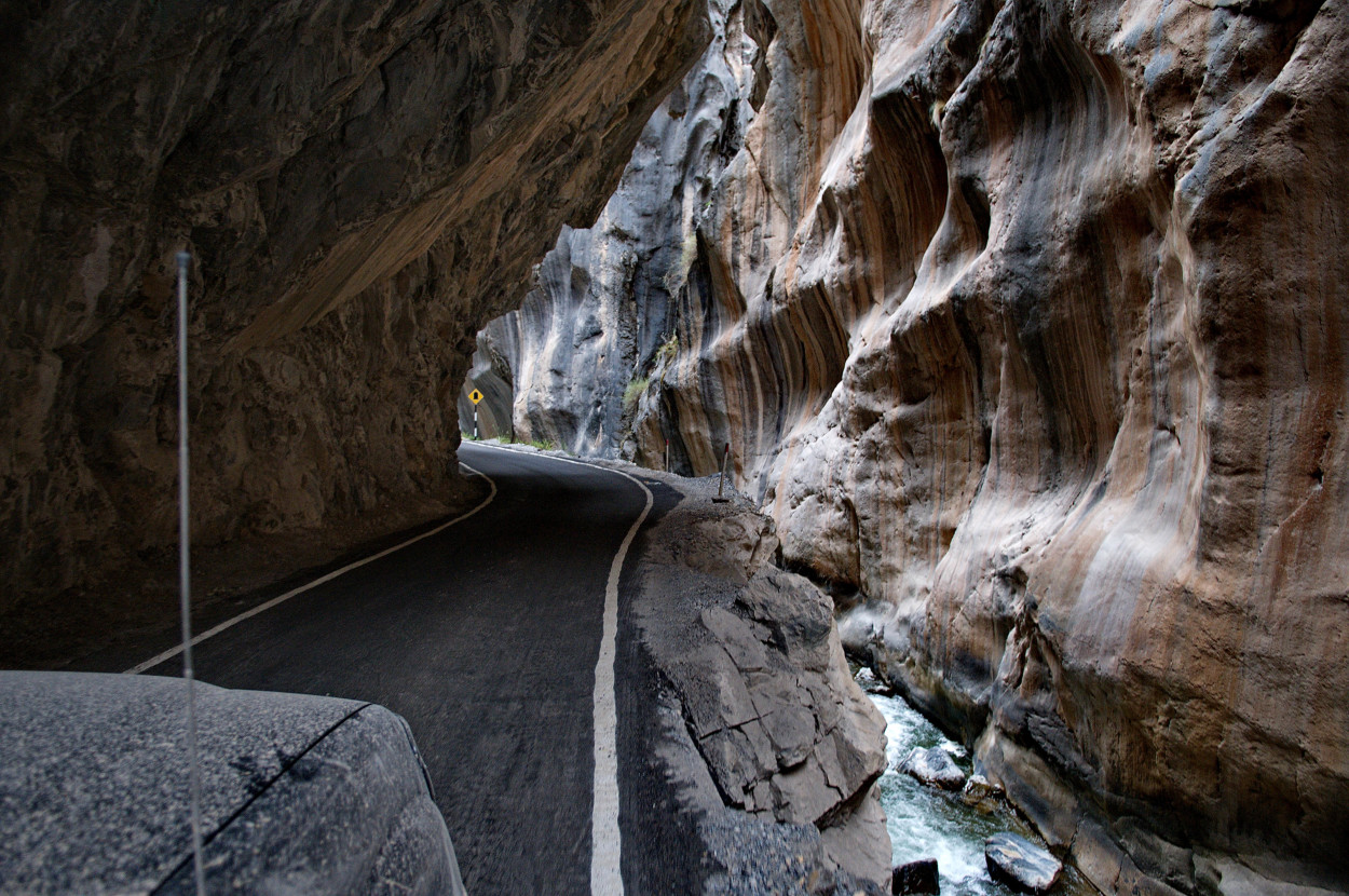
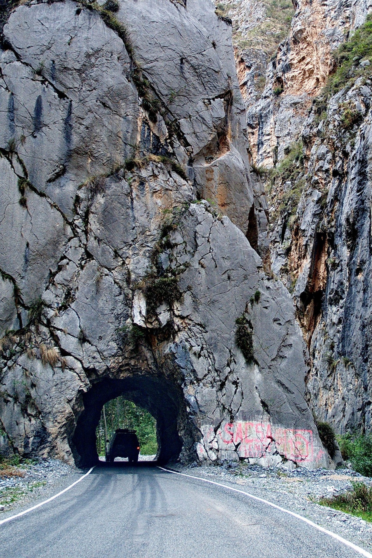
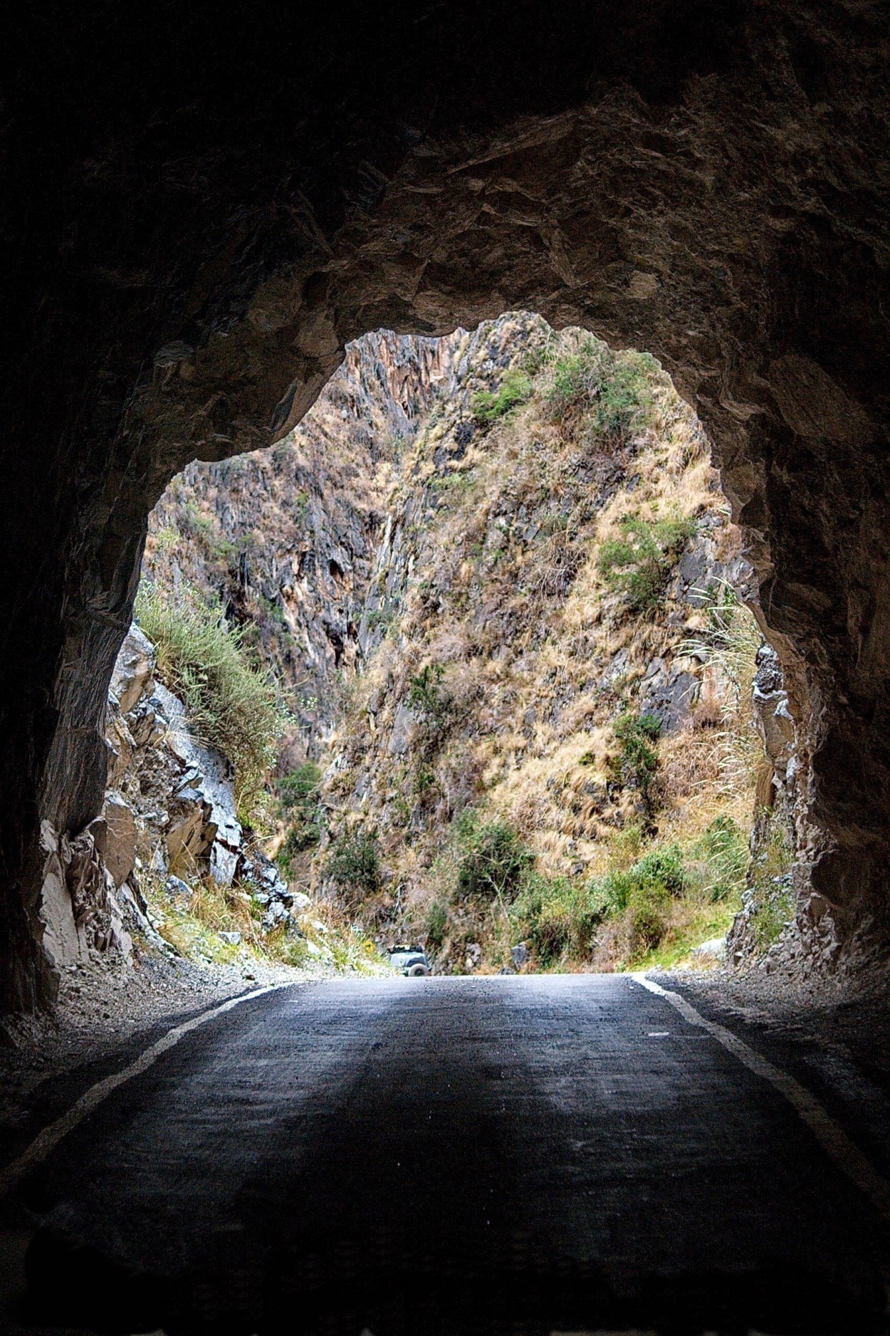
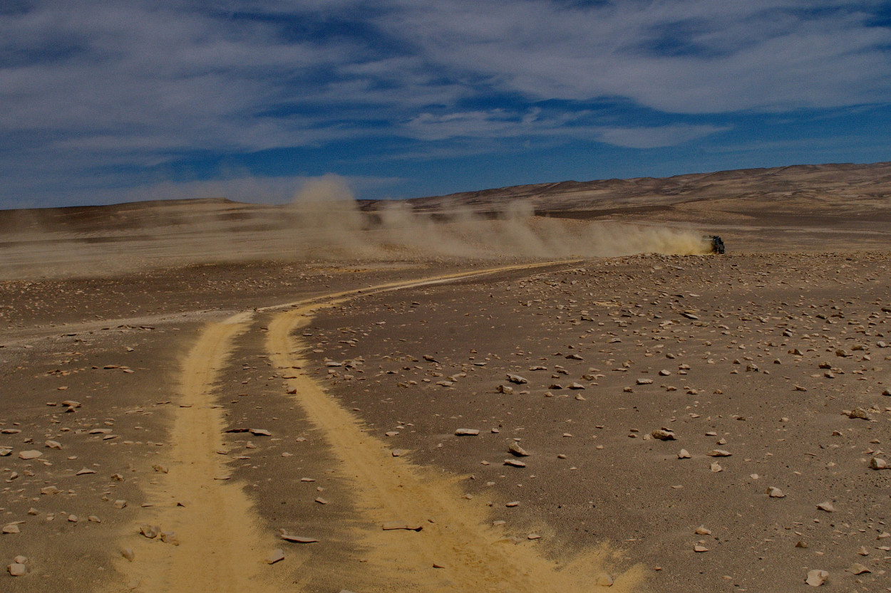
On the way, Alberto suggested us to visit the most amazing places in Peru, the Vancaja canyon. Ther are almost no tourists there, as well as any roads…
And here is the first surprise, the bridge across the river is repaired and there is no other way to cross the river.
We had nothing to do but to turn back and make the detour and pass over, in this case the distance increases by 100 km.
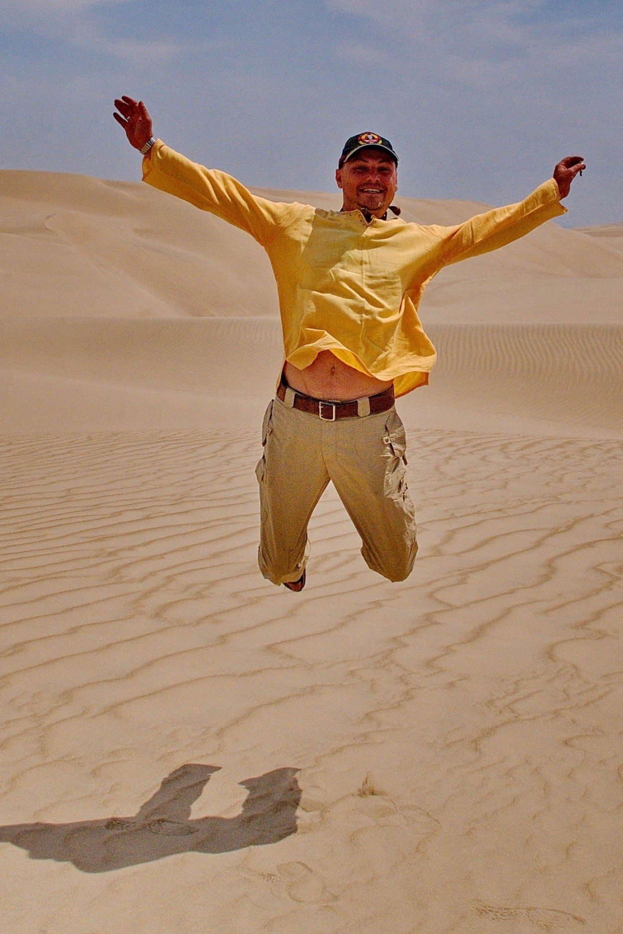
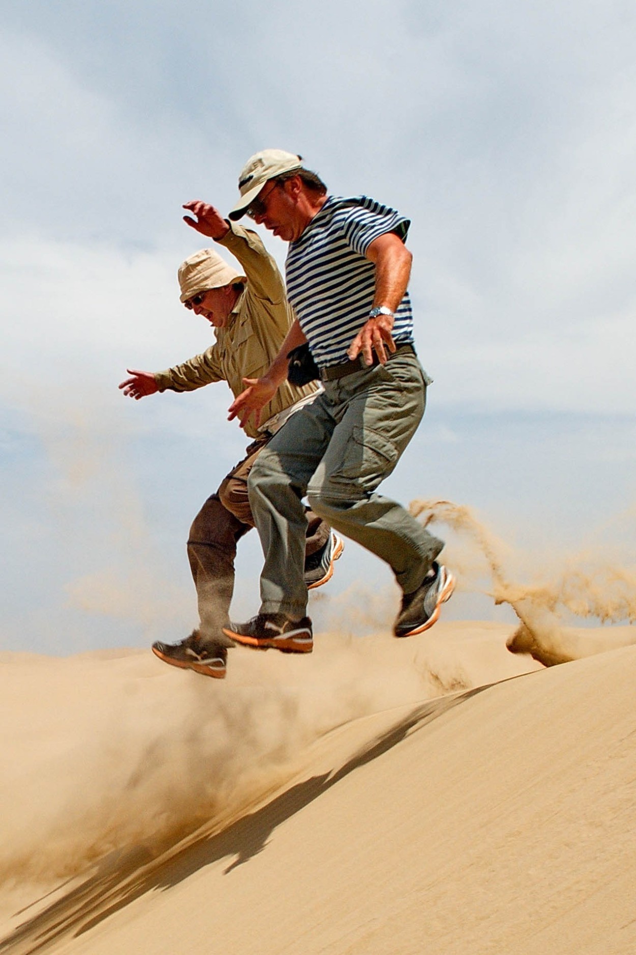
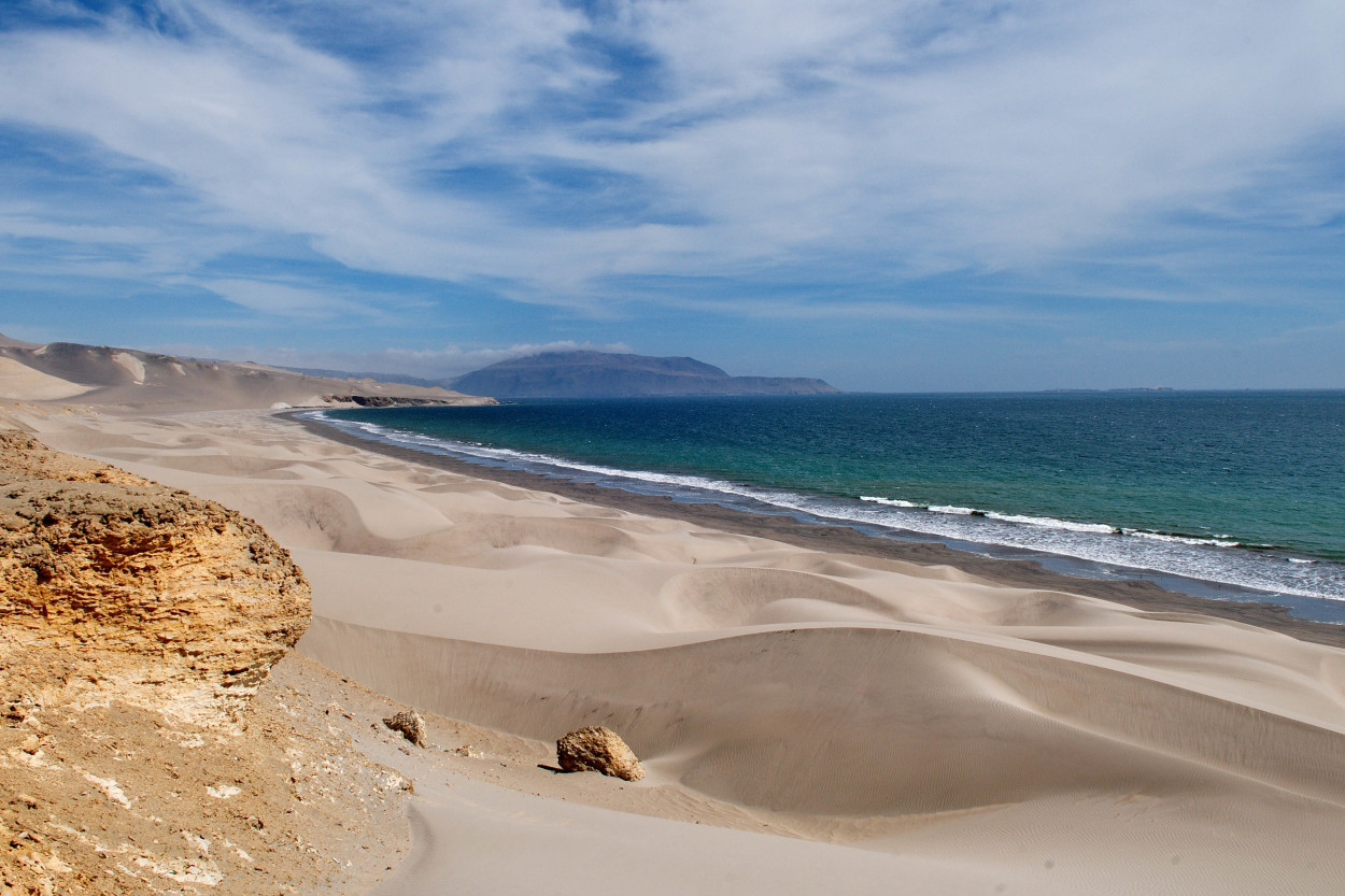
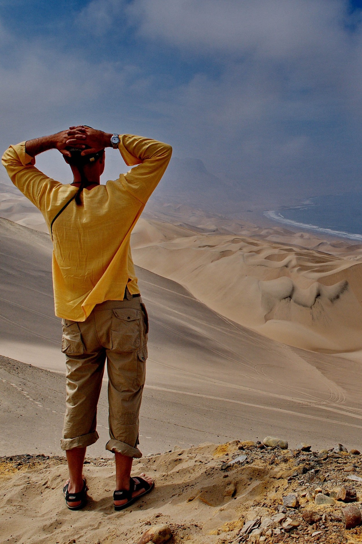
Today begins a new stage of our expedition. We will see the Atacama desert, so the next four days promise to be very interesting .
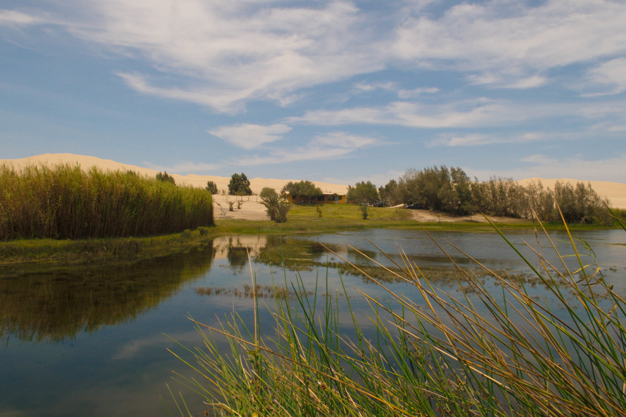
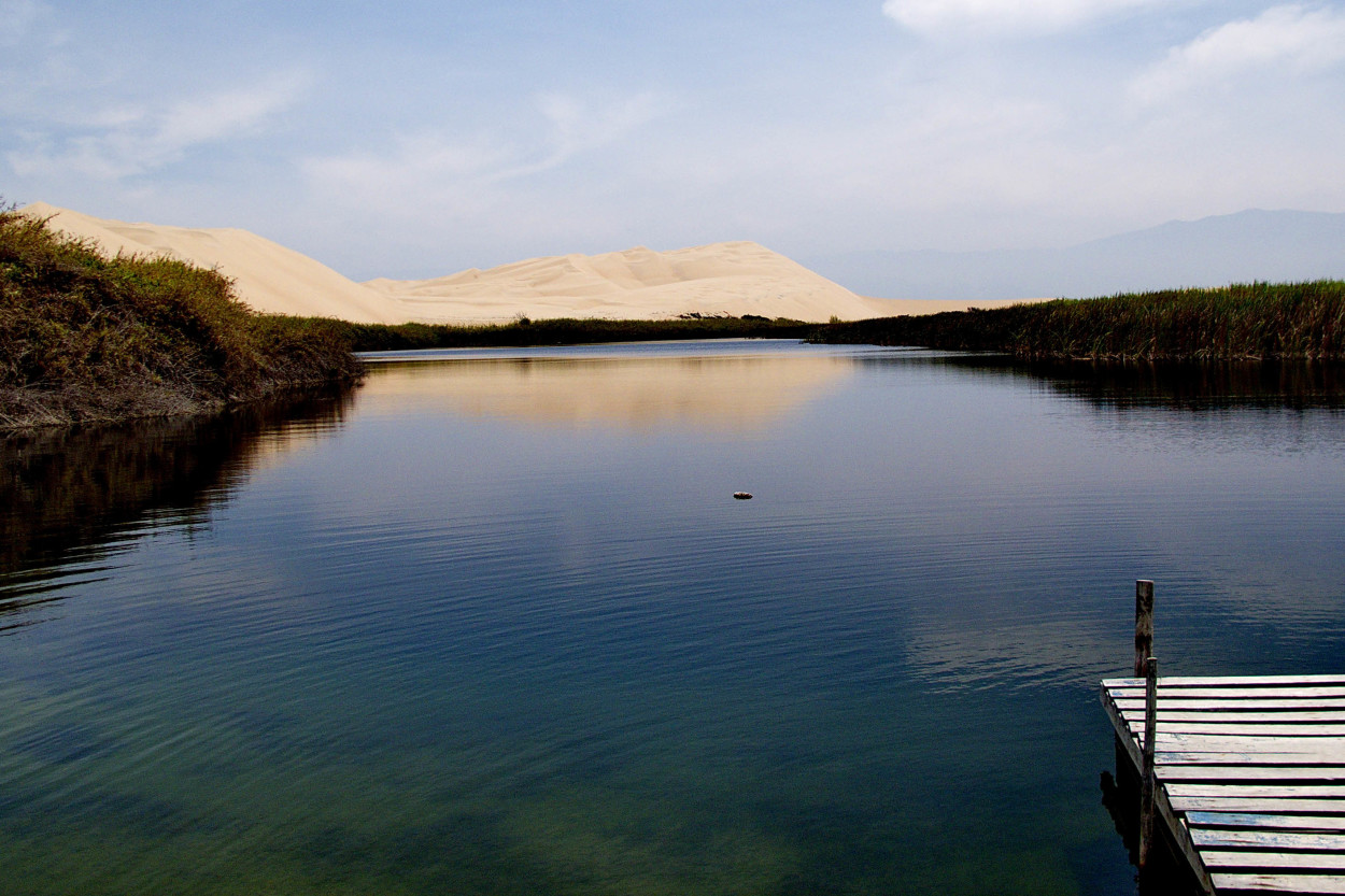
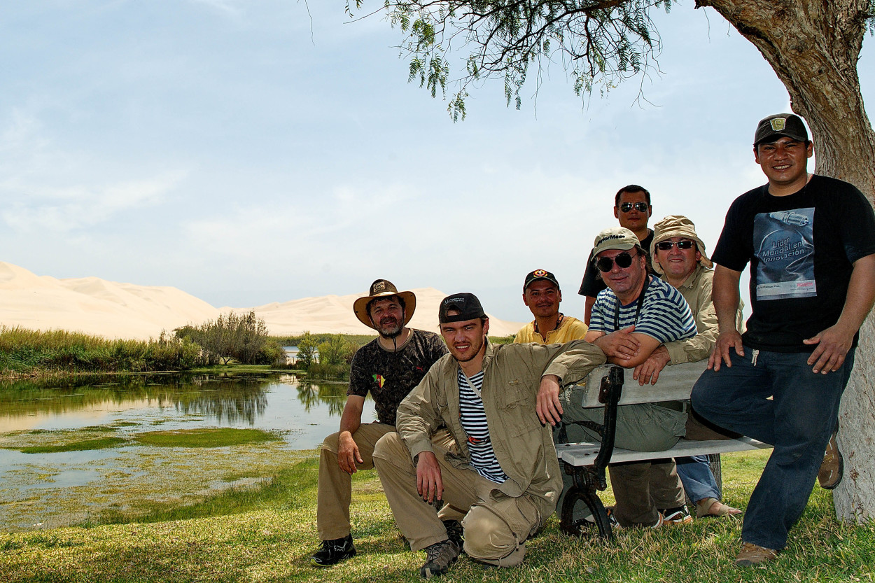
Having tasted the extreme driving, we wanted to relax and Alberto brought us into an oasis in the middle of the desert…
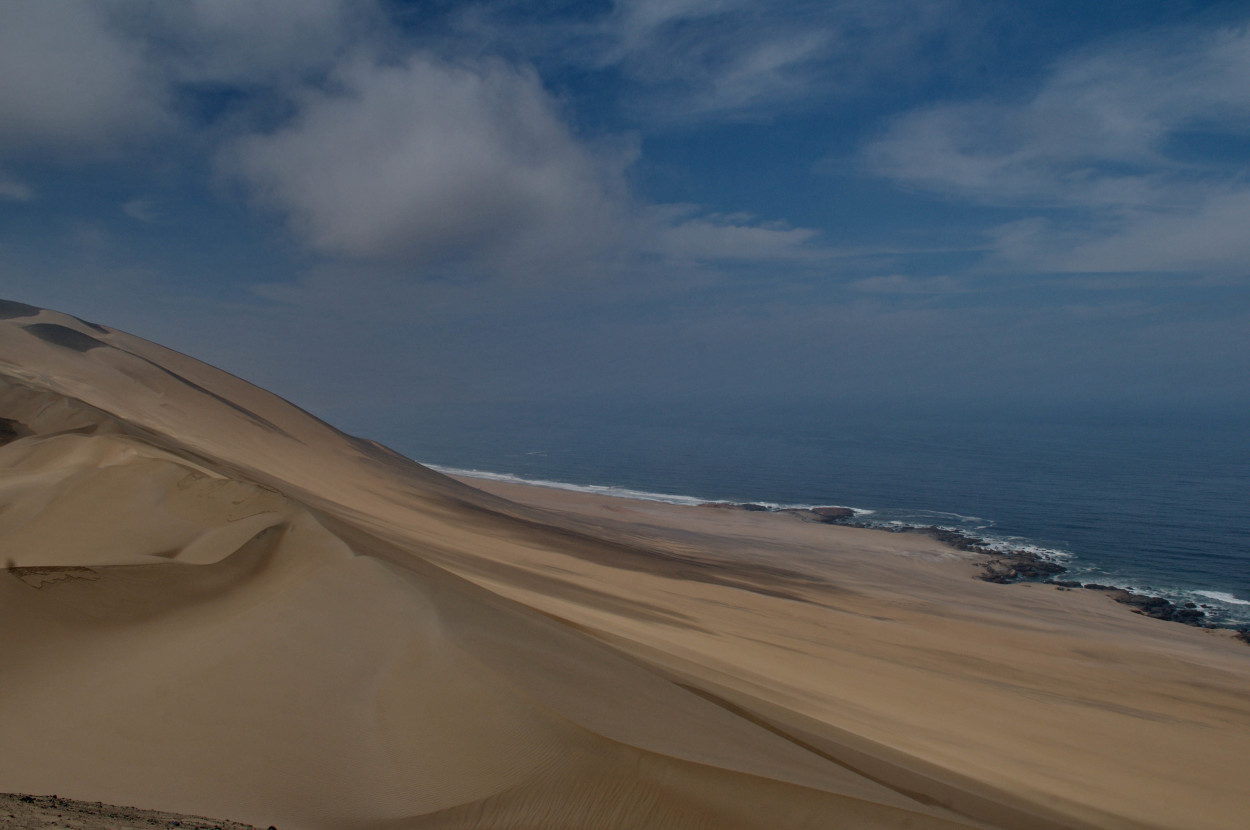
Further we move on to the South to the Ocean.
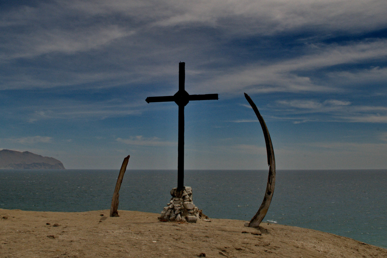
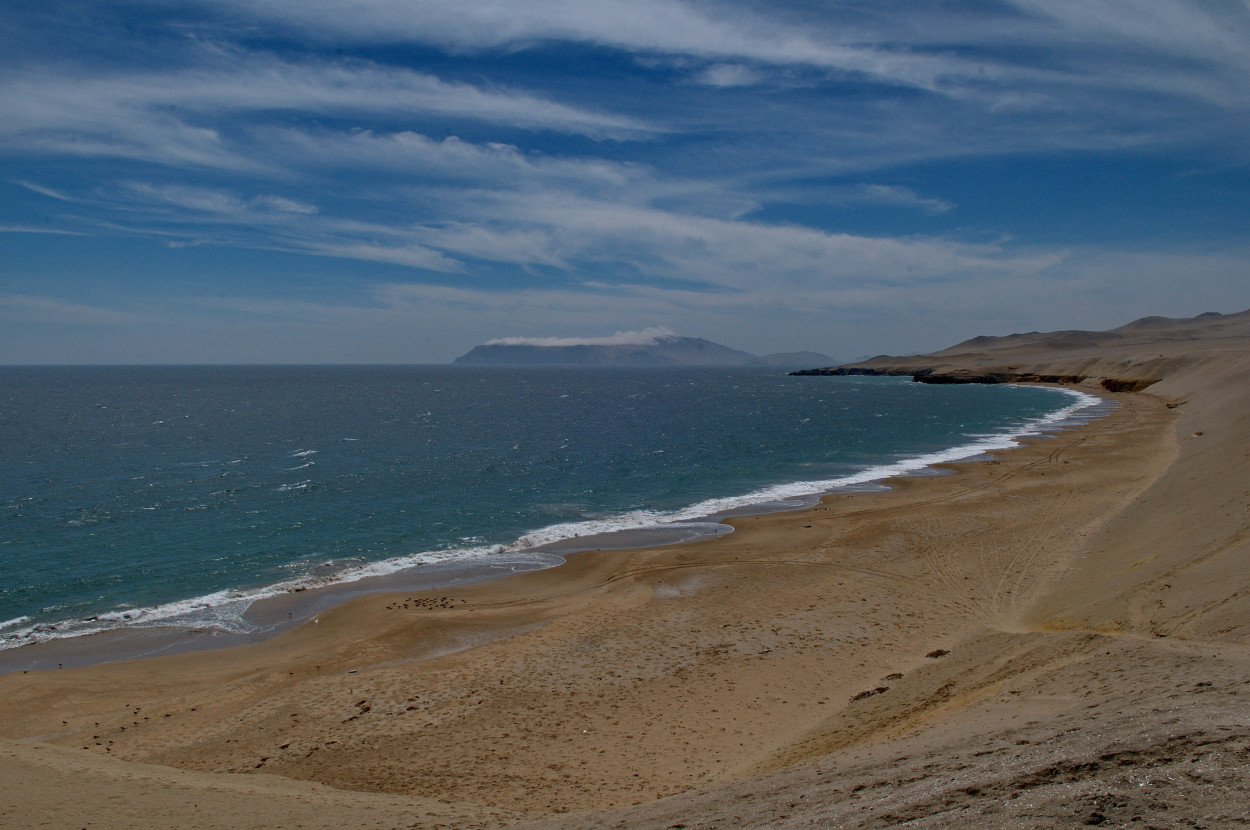
The first meeting with the Ocean is always exiting and leaves a storm of emotions,
but we have to move on and look for a place to sleep.
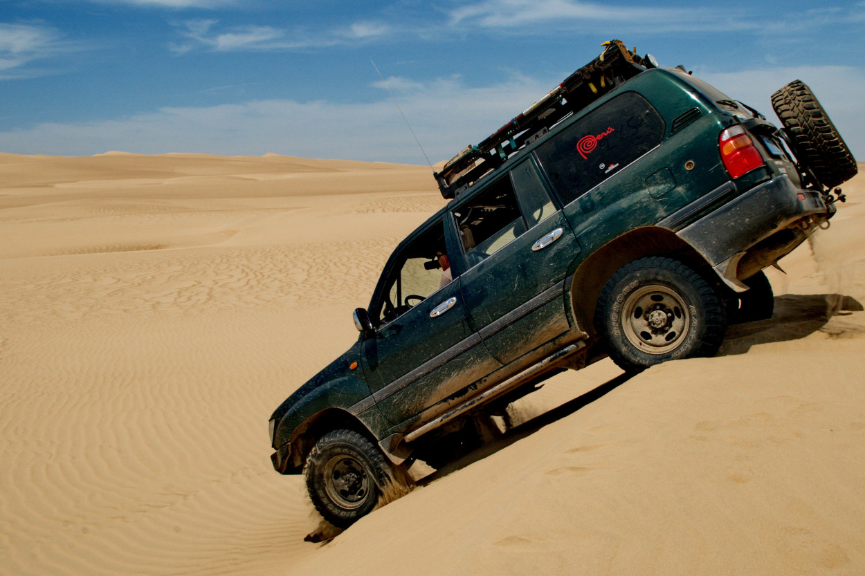
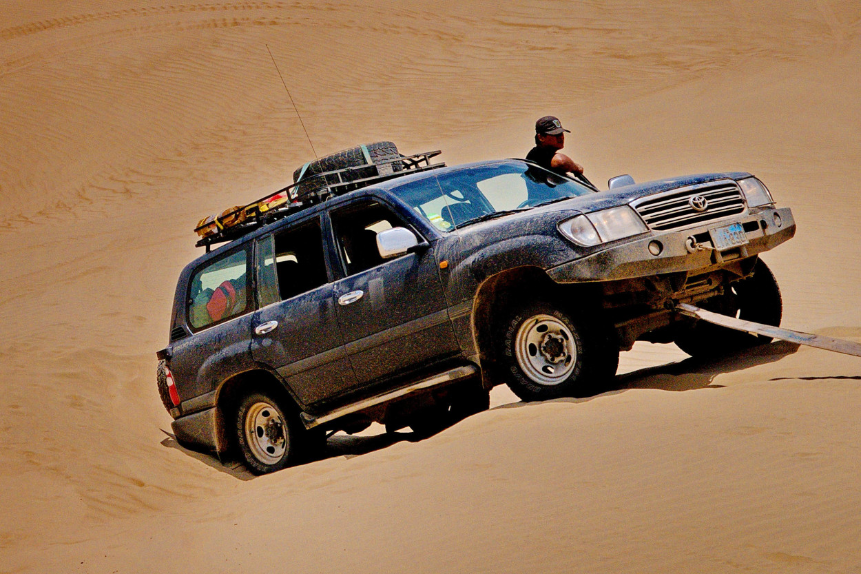
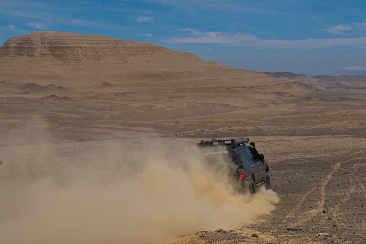
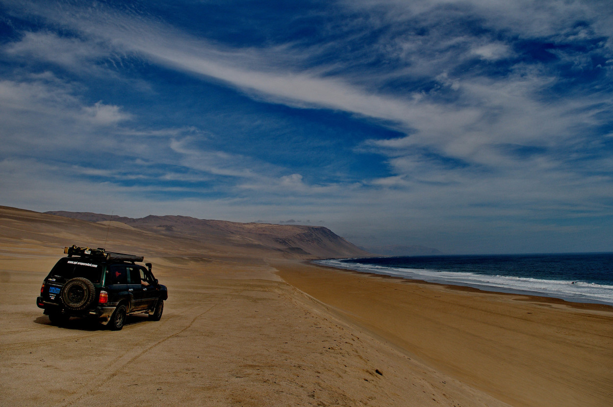
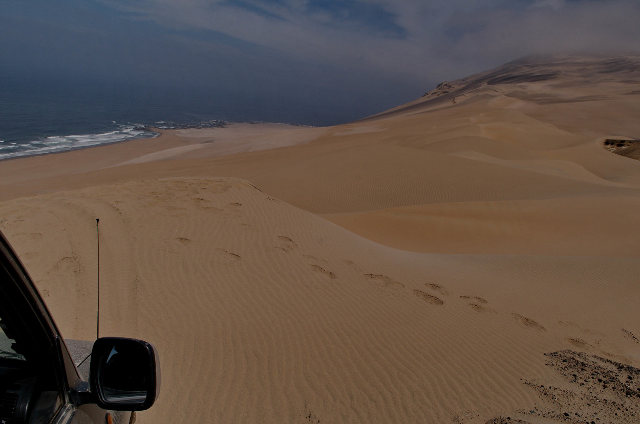
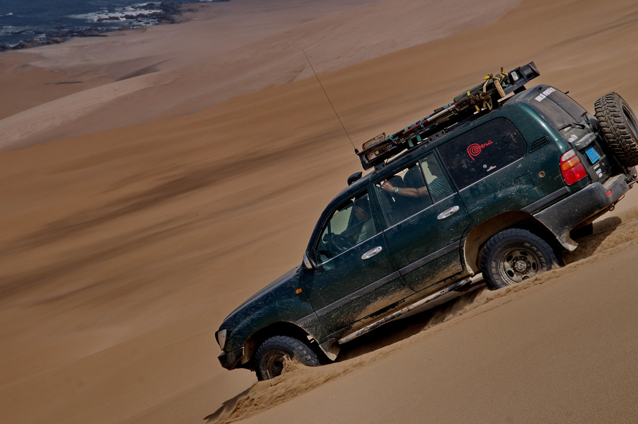
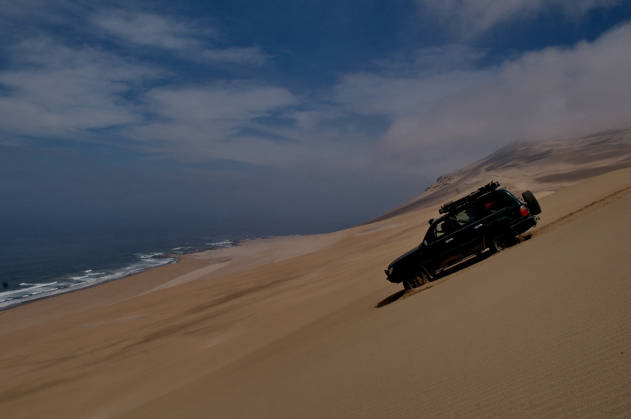
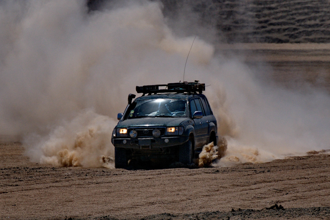
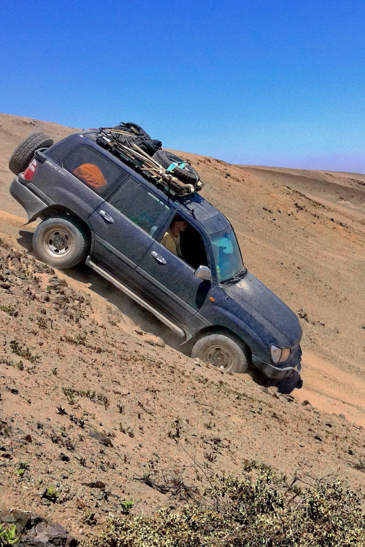
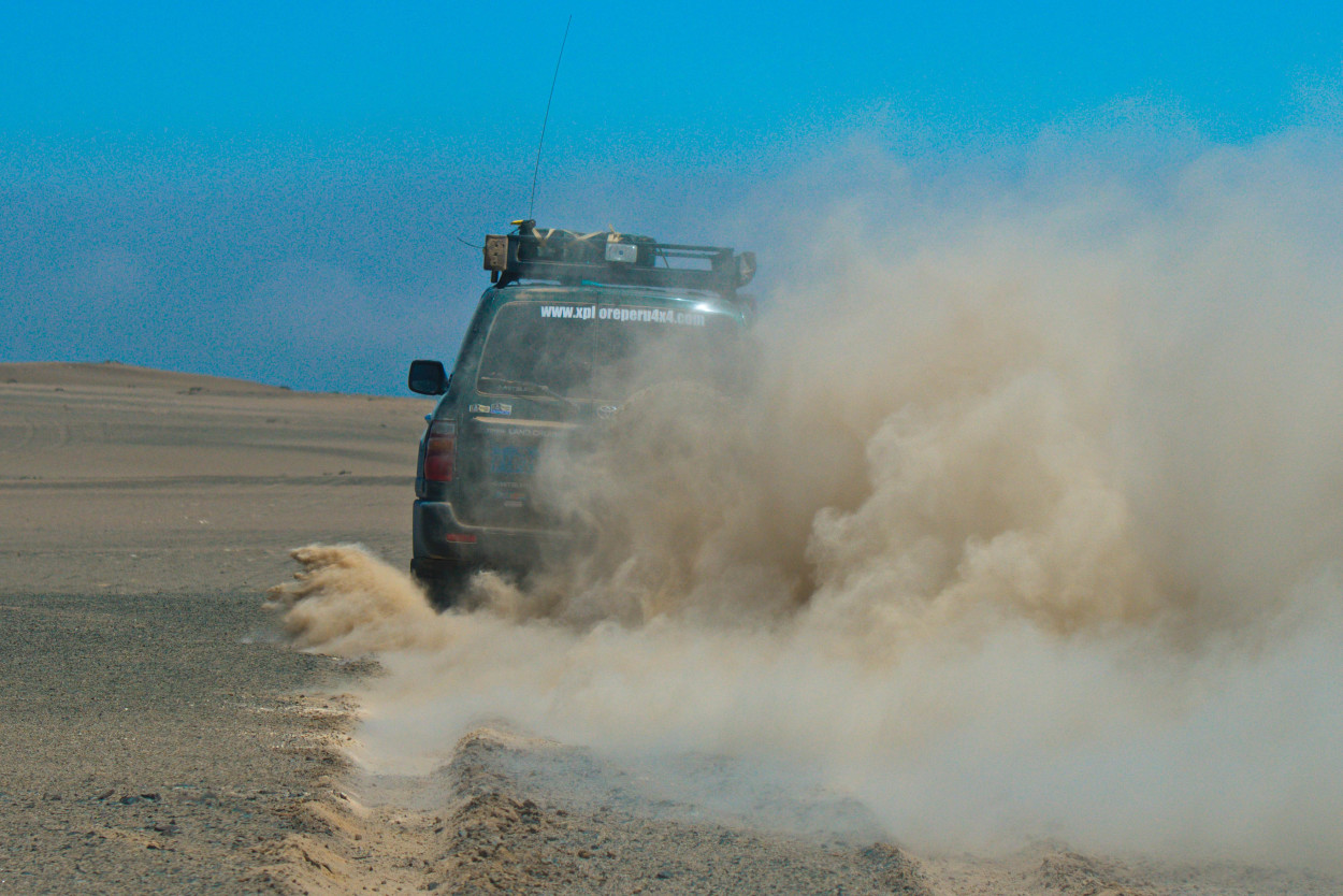
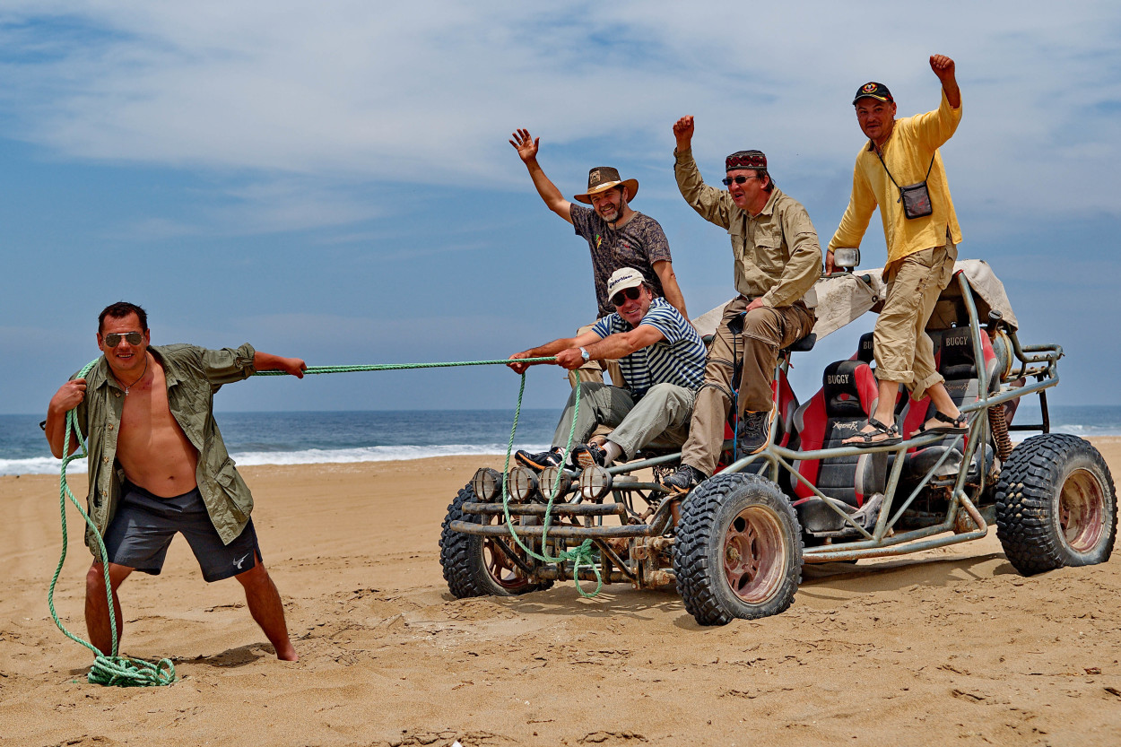
Today we will have an interesting day, Alberto will take us for a ride on the Peruvian section of Dakar rally .
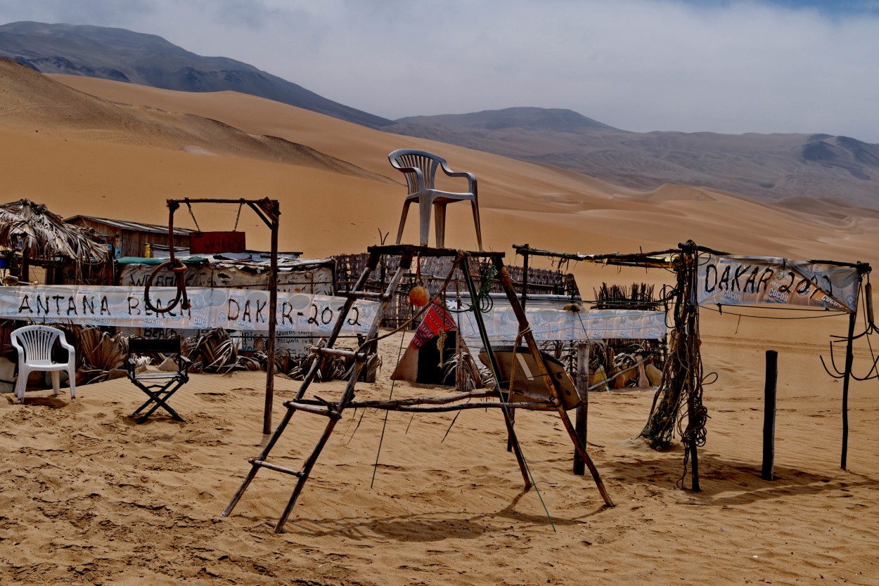
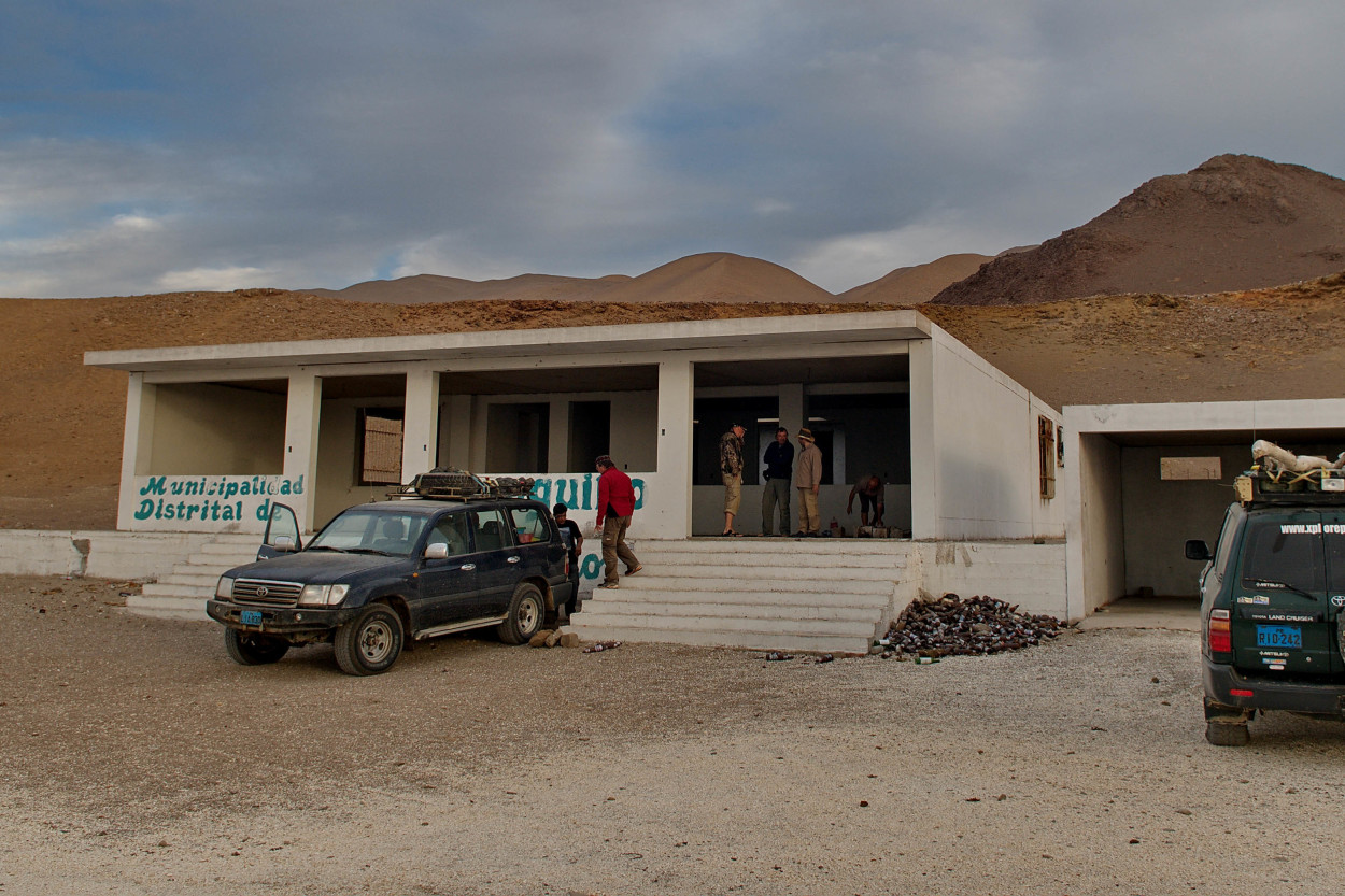
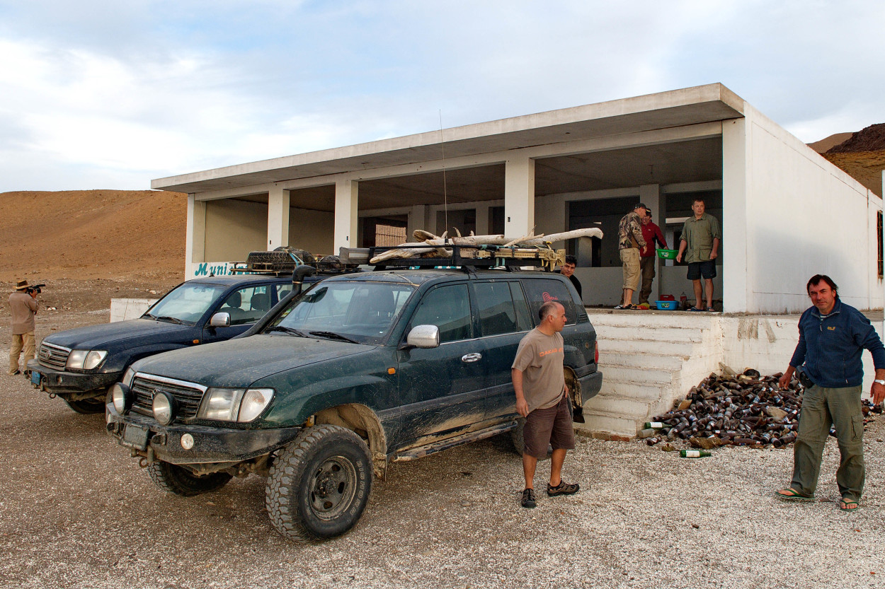
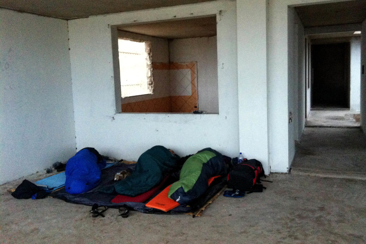
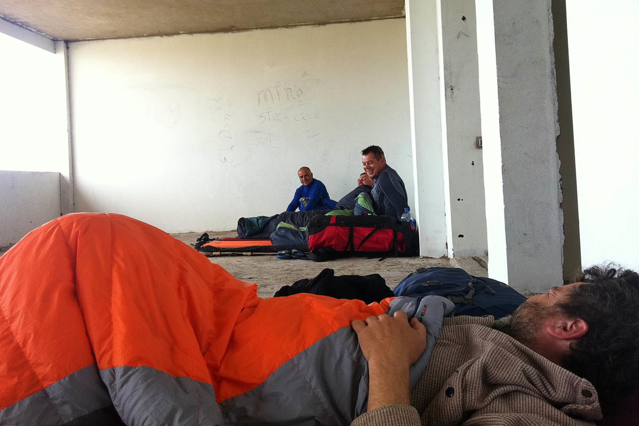
Today we had extraordinary day. The boundless desert, the Pacific Ocean, the strong feeling of being part of the Dakar rally, the professionalism of our drivers, all that will be remembered for years to come, and the time has come for us to find the next place for the overnight camp. In the evening, the wind had risen and we had to spend the night in an abandoned village near the ocean.
Further, we move on to the Cape of San Fernando. Here, on the steep slopes, nests the biggest bird of prey in the world, the Andean Condor. And if we are lucky, we will manage to shoot the flight of the Condor at close range.
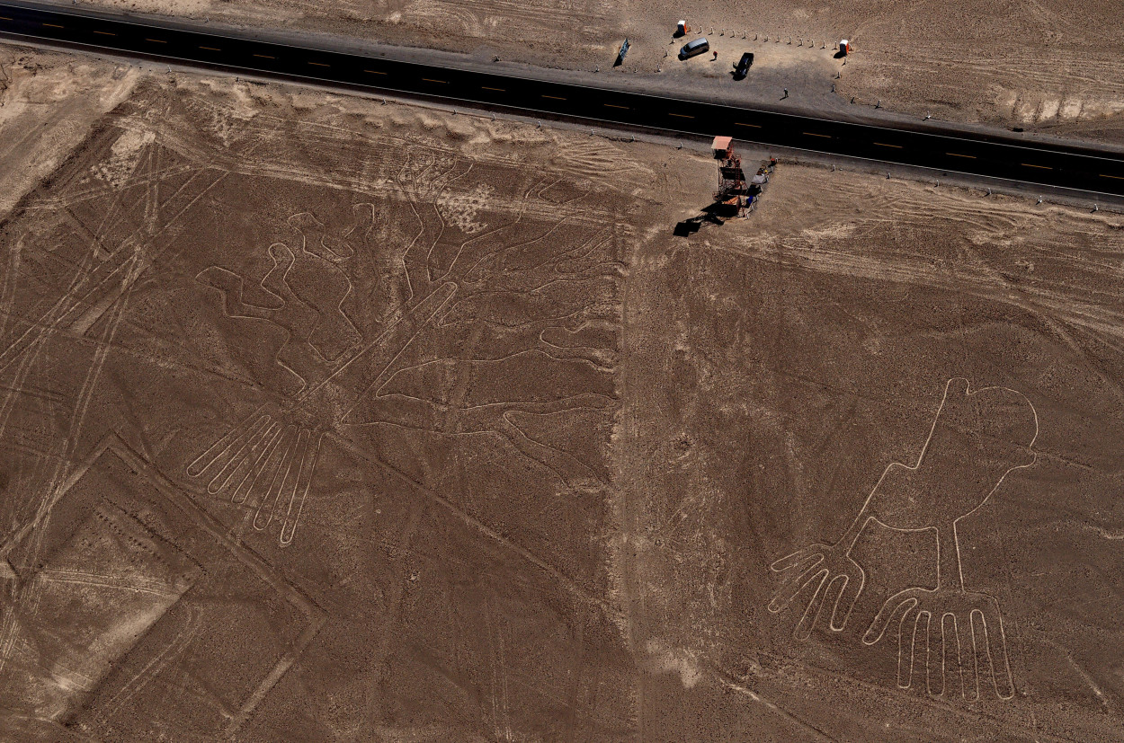
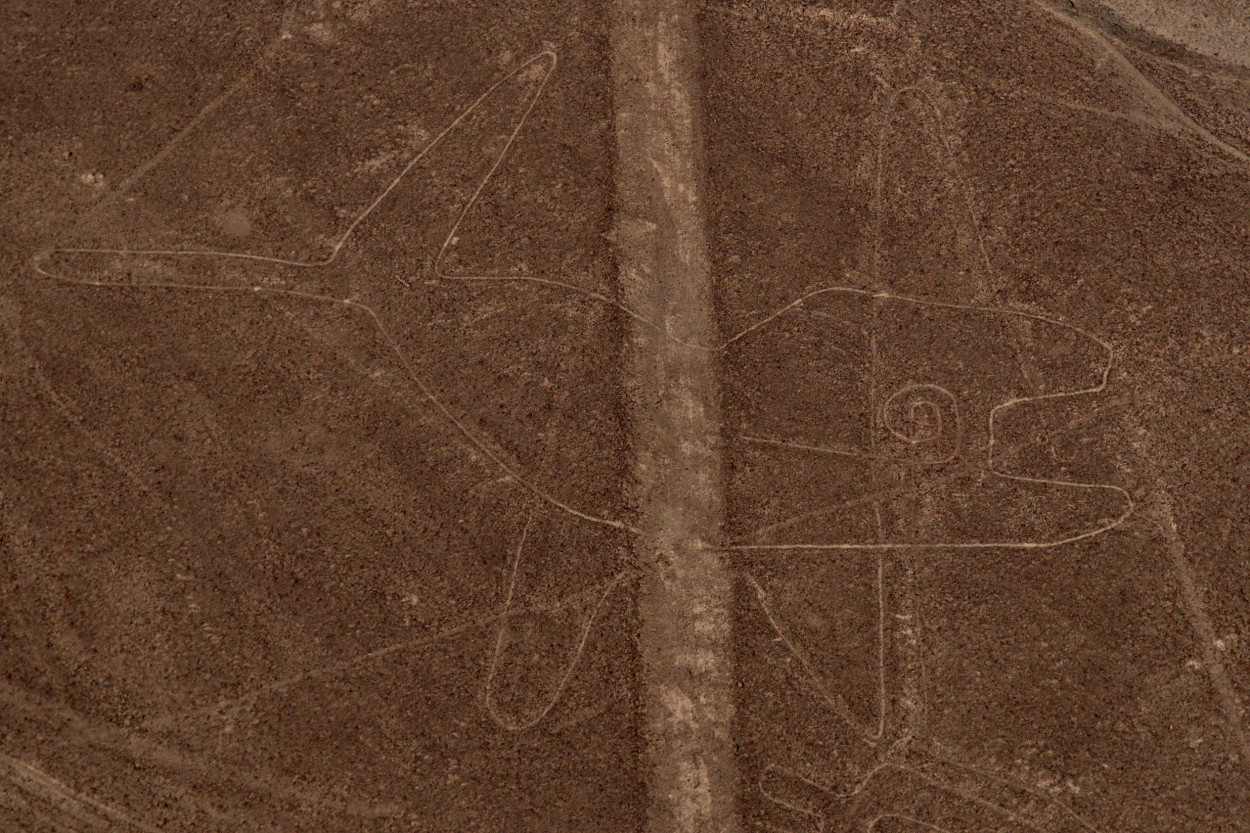
It’s time to move on into the desert to the Nazca city, where we are going to take a flight on a small plane over the most mysterious place in Peru, Naza Lines.
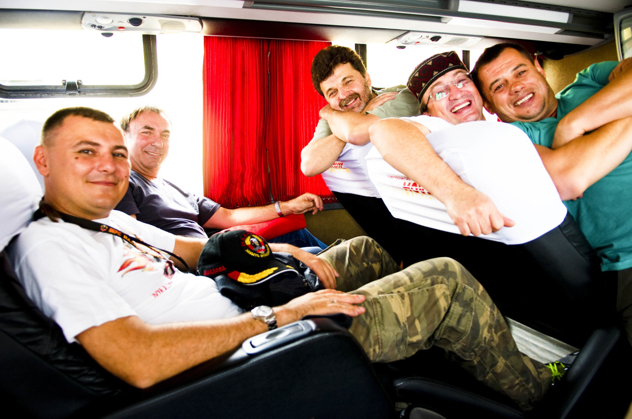
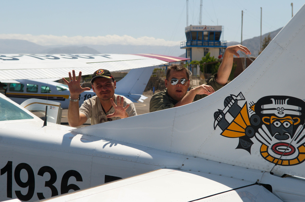
So, our plane is ready to fly, and, in anticipation of an unusual spectacle, we make ourselves comfortable in its narrow cabin.
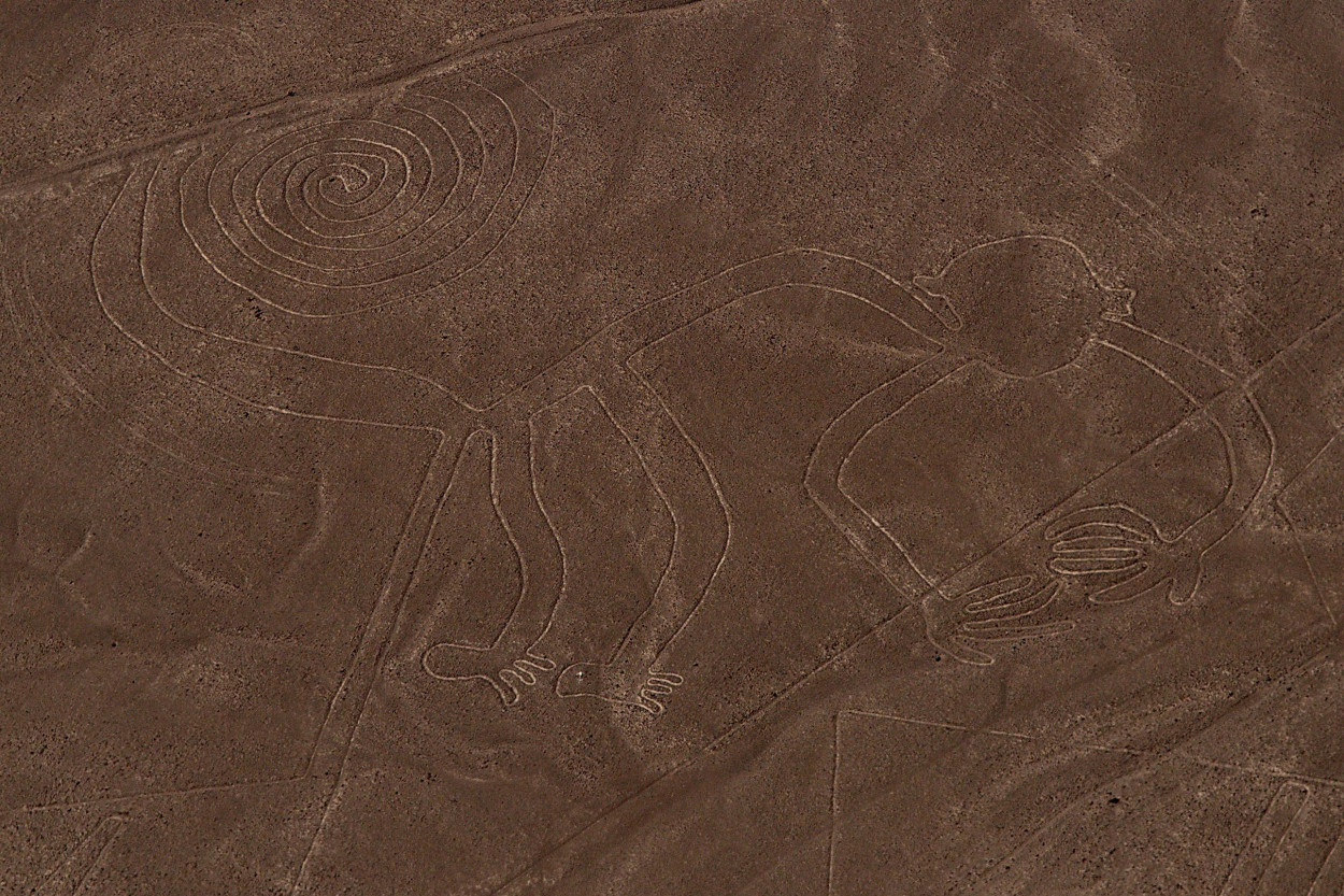
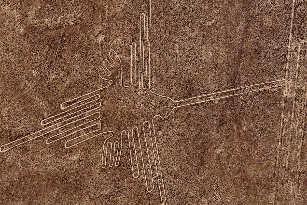
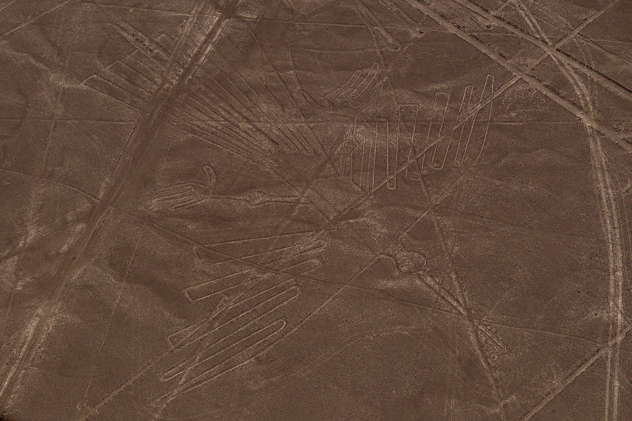
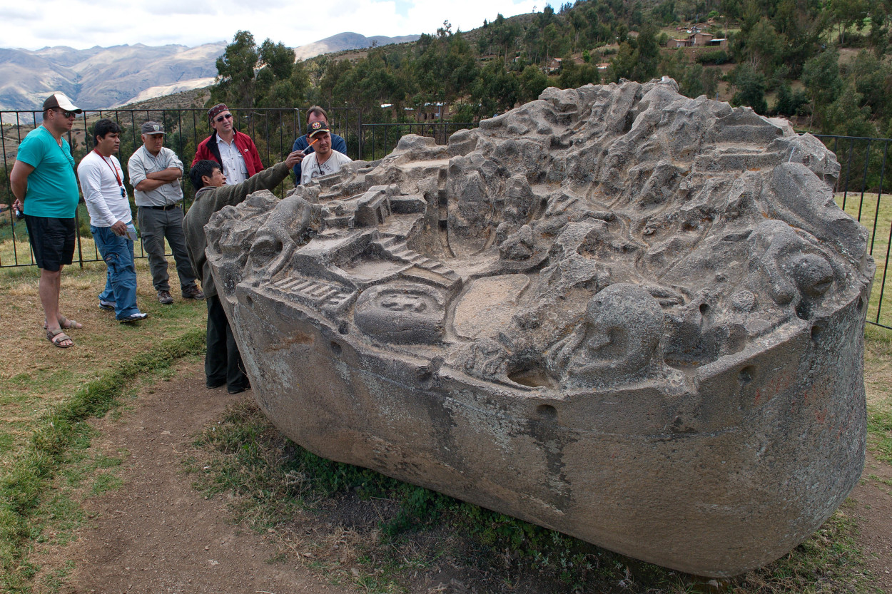
People found out about the Nazca Lines in the 20s of the 20th century, when the first airplanes began flying over the desert. Their mystery has not been revealed ever after, although there are many theories about their origin … The Nazca Lines are considered to be the creation of Nazca culture that existed in this region between the 300 BC and 800 BC. The Lines are formed of 300 drawings: straight lines, geometric shapes images of animals and birds, called, named « geoglyphs ». So, we took off, to see the mysterious creation of the ancient civilization. Following the flight over the Nazca Lines, we continues our journey to the city of Cusco – the ancient capital of the Inca. Extreme part of the jeep safari is now completed. Further, we have to cover a distance of 650 km with an overnight stop. We hope to find a more or less civil place, to brush up and sleep on a normal bed… So, having a good night’s sleep in a roadside motel, and plenty of rest, we move on to the city of Cusco, where we shall visit the ancient capital of the Inca. There we begin our three-day Apurimac River rafting, and in the end we will climb to Machu Picchu. On the way, Alberto offers to make a stop to see the ruins of another Inca settlement. A local relic is kept here, under the open sky, for more than 100 years. It’s the map of Inca Empire, engraved by ancient craftsmen on a huge boulder.
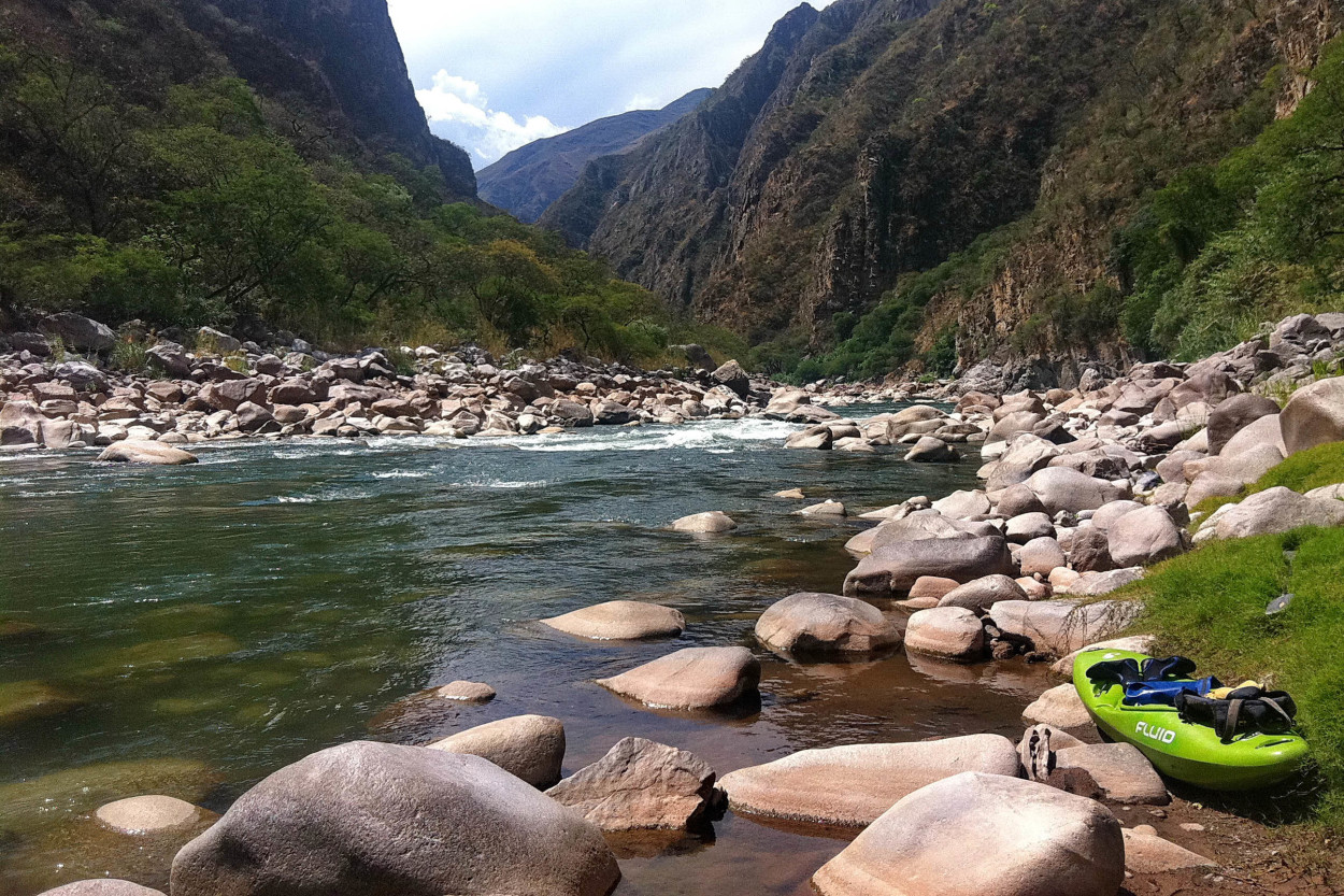
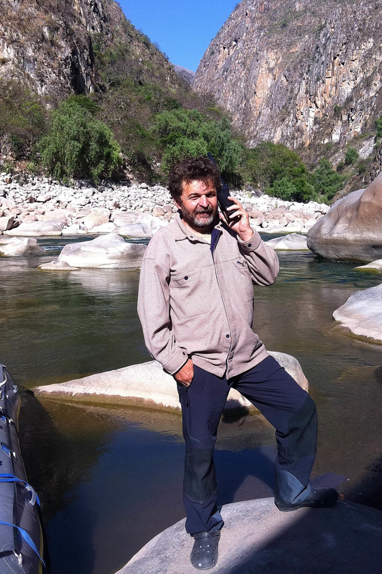
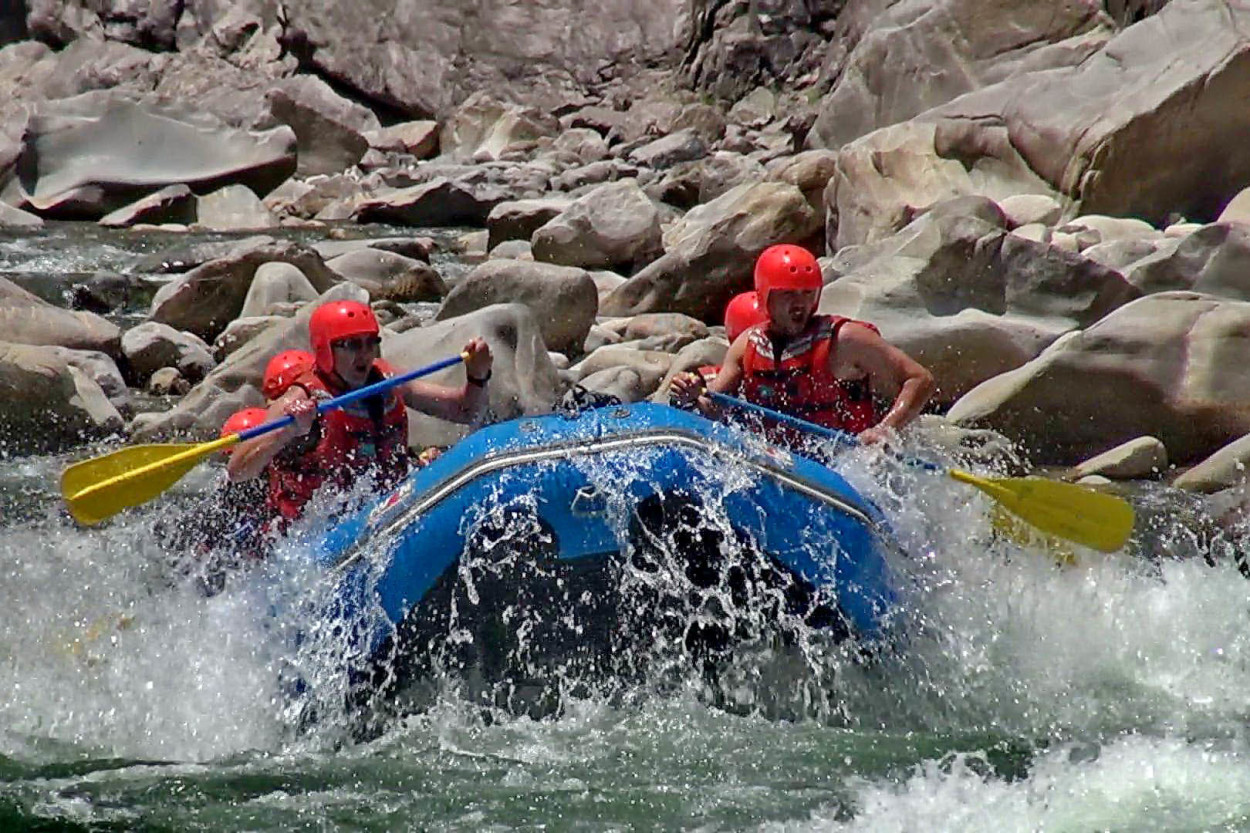
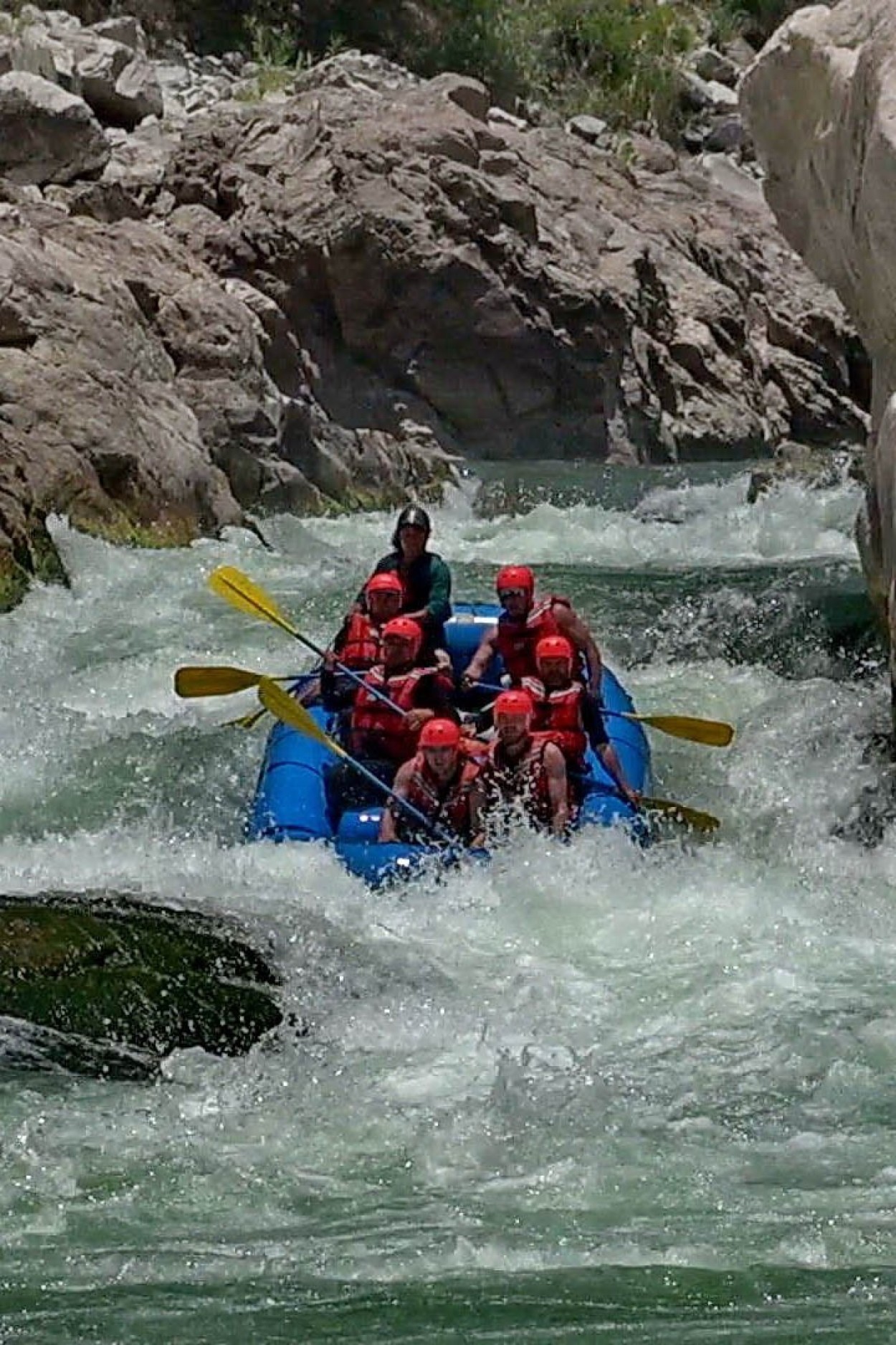
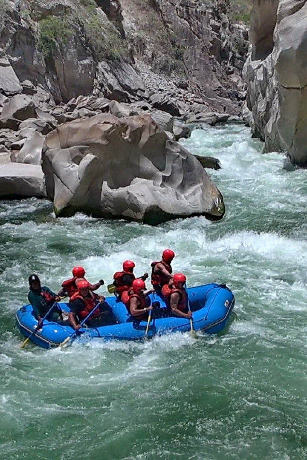
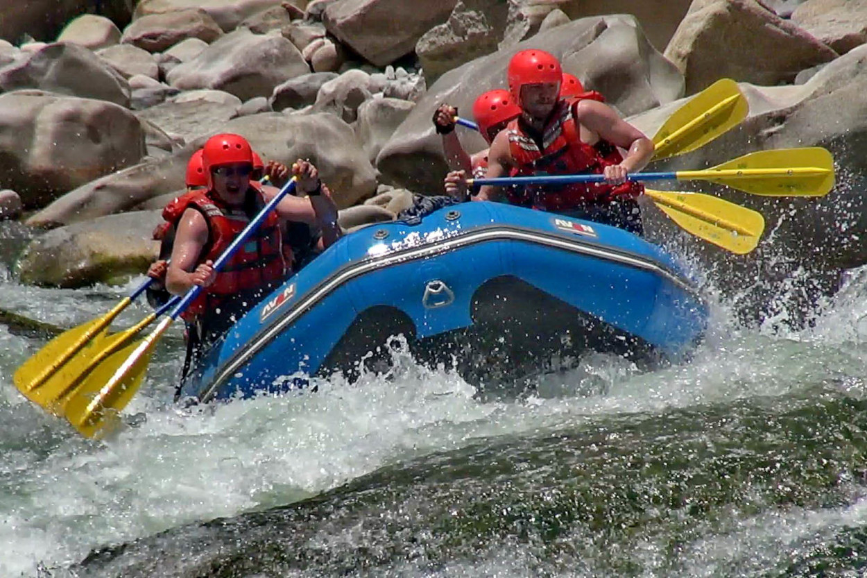
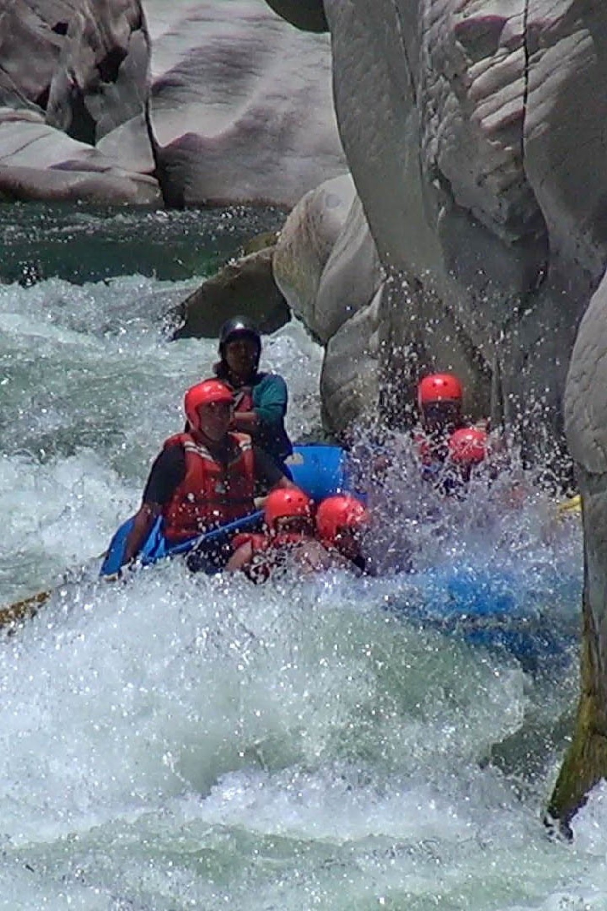
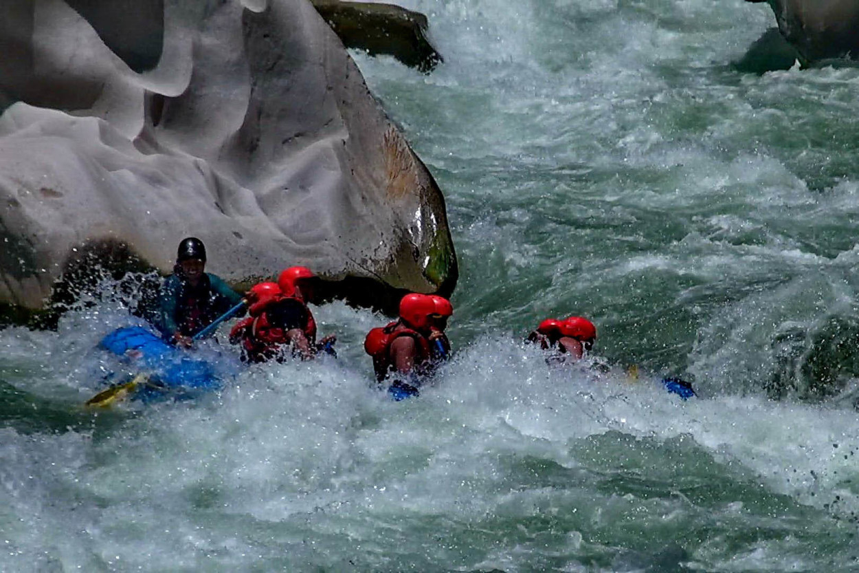
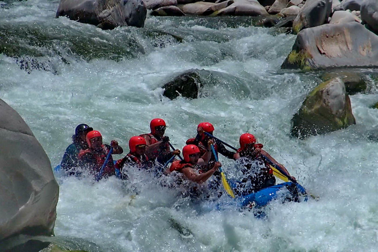
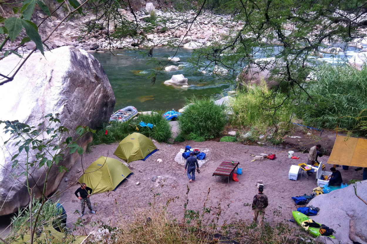
The Apurimac River Canyon is one of the best places in the South of America for rafting, and we gladly change our jeeps on a raft.
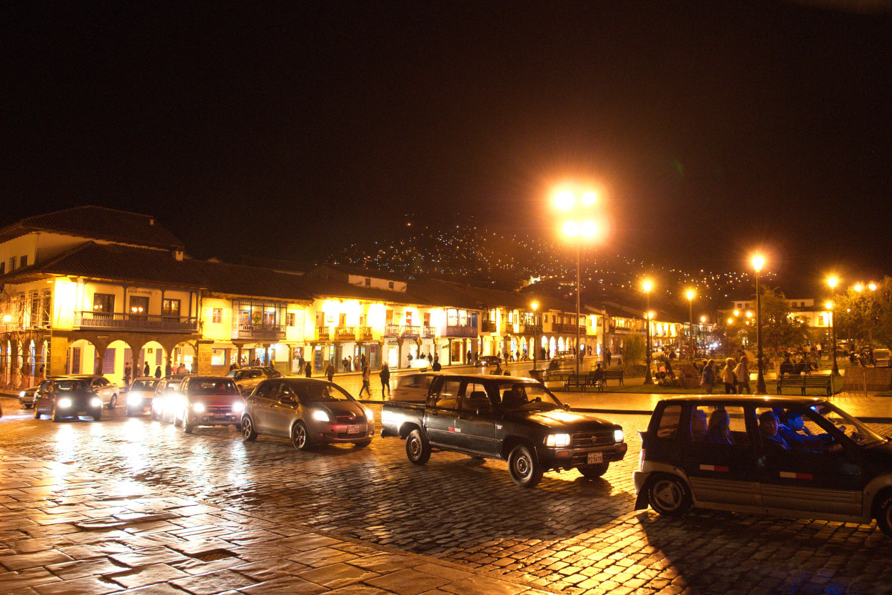
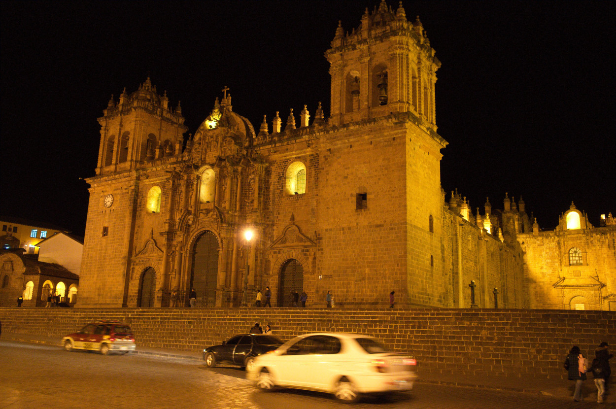
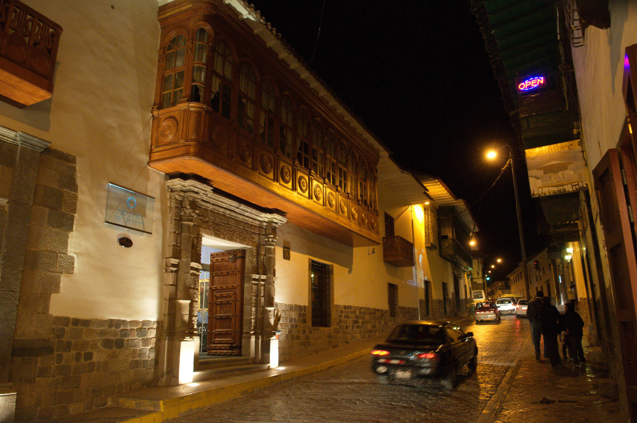
The ancient capital city of the Inca Empire is very beautiful at night and we go to the central square of the city, which, in the days of the Inca, was named Wacaypata. Here, the conquistador Francisco Pizarro proclaimed the conquest of Cusco. Since the arrival of the Spaniards, the main square begun to transform, there appeared new cathedrals, churches, and new houses in a Spanish style.
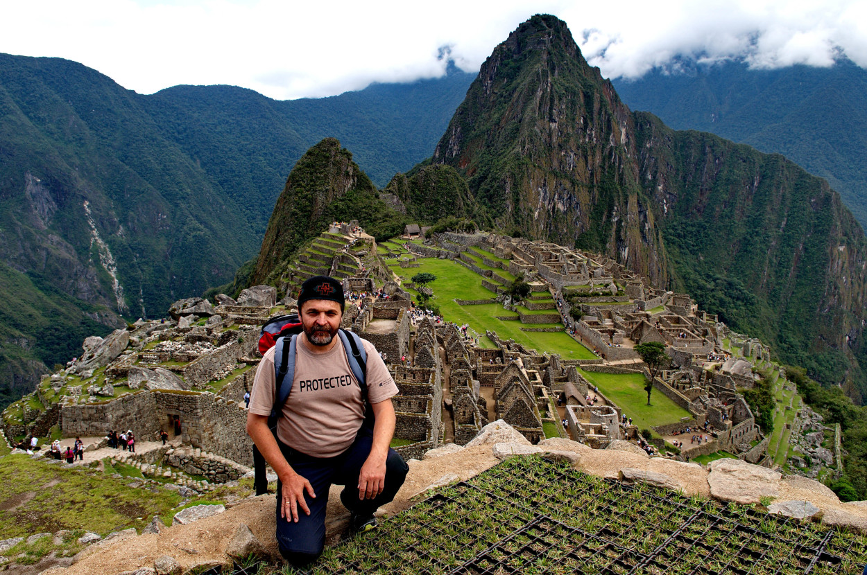
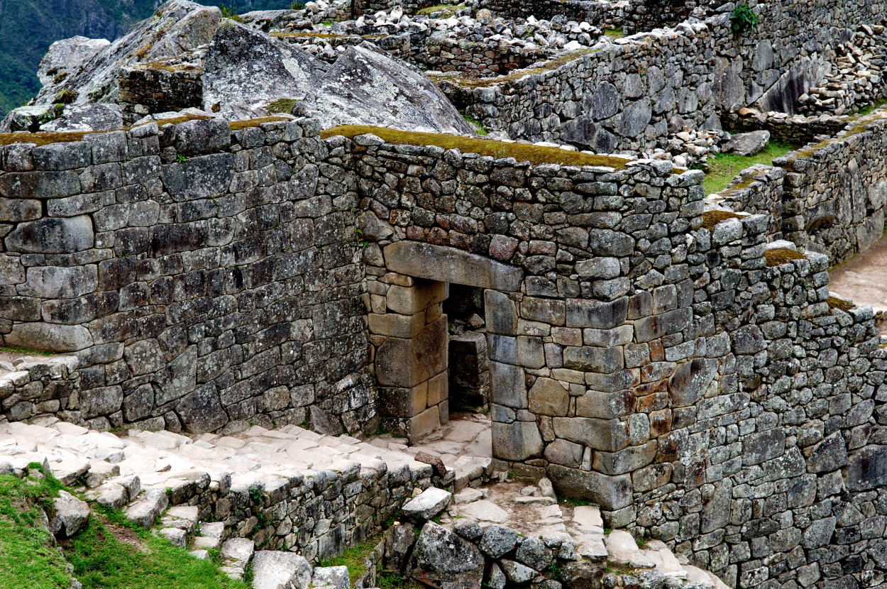
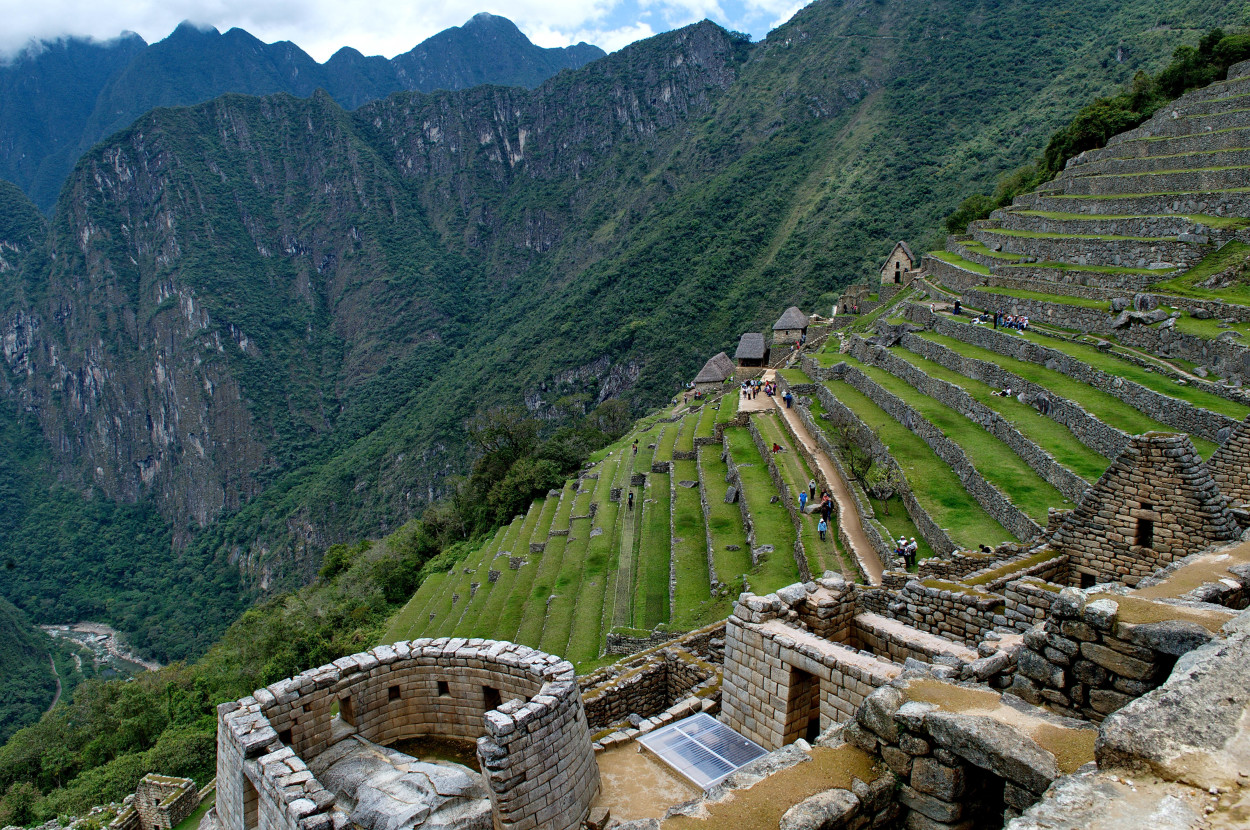
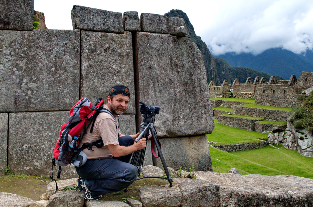
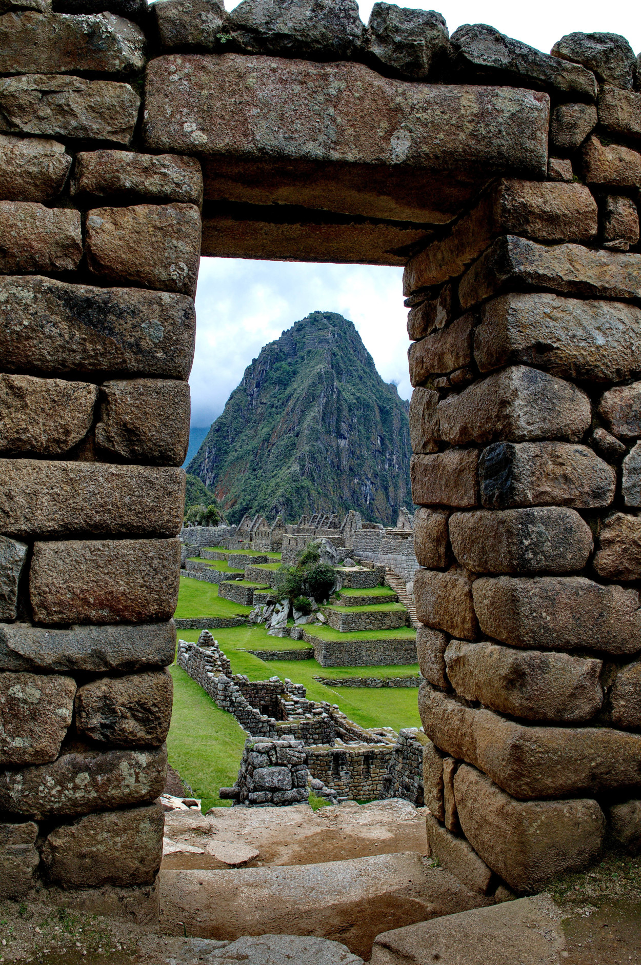
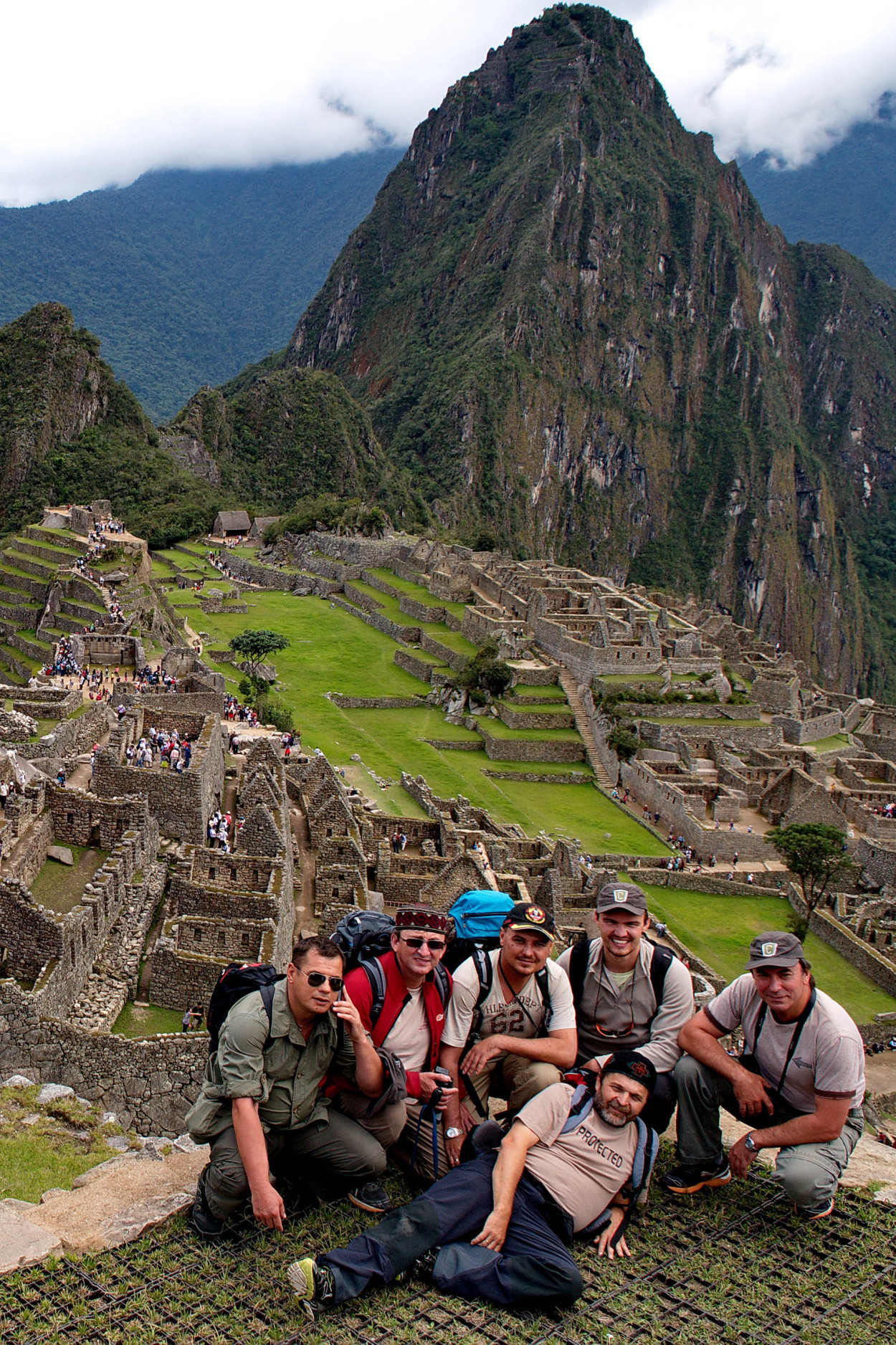
Today, we are going to visit probably the most famous place in Peru, the mysterious Inca city, Machu Picchu. Only a few hours of trip to the mountains in a comfortable train and we arrive to the foothill of the mountain, where the ancient Inca city, Machu Picchu is situated.
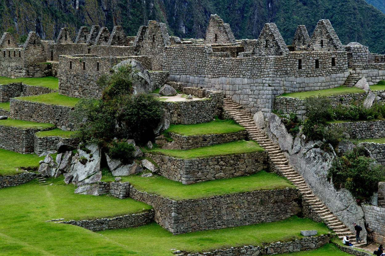
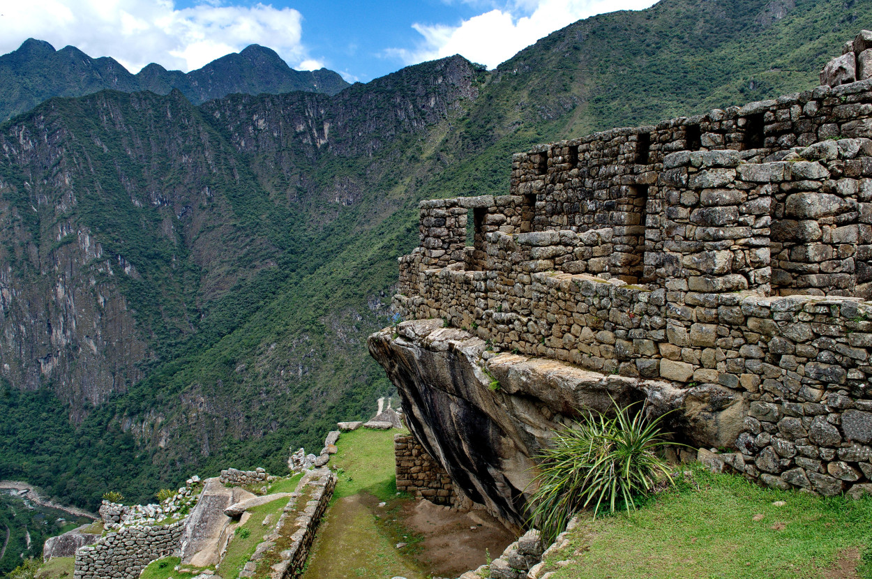
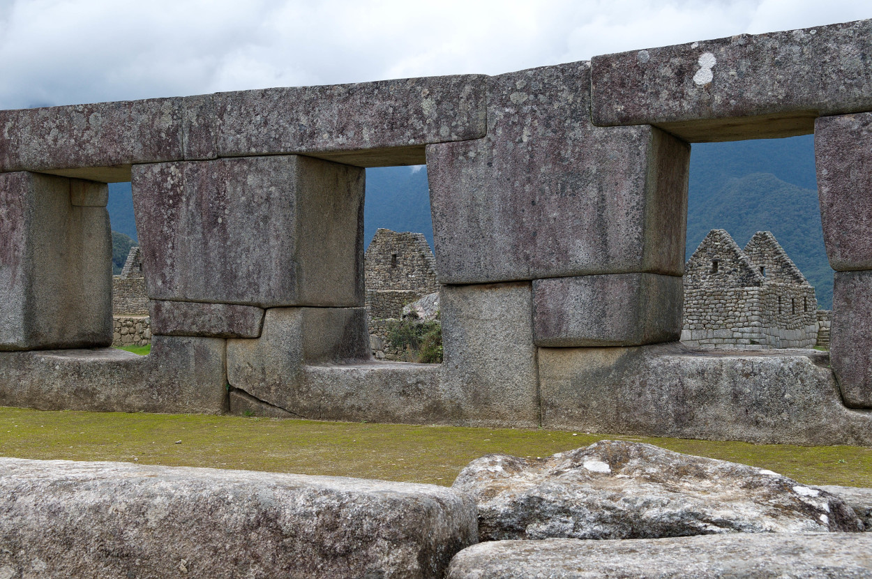
Machu Picchu was created by the great ruler of the Inca, Pachacutec, in about the year of 1440, as the imperial residence and lasted until 1532, when the Spaniards invaded the Inca Empire. The city had a population of up to 1200 people, who worshipped there, the Sun God Inti and cultivated crops on terraces.
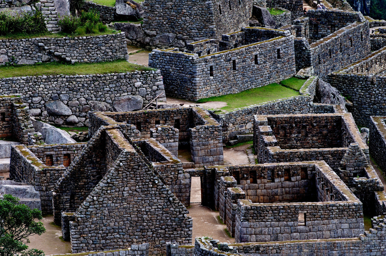
In 1532, all its citizens mysteriously disappeared, although the Spanish conquistadors never got to it, and the city was not destroyed. There are about two hundred buildings in the city.
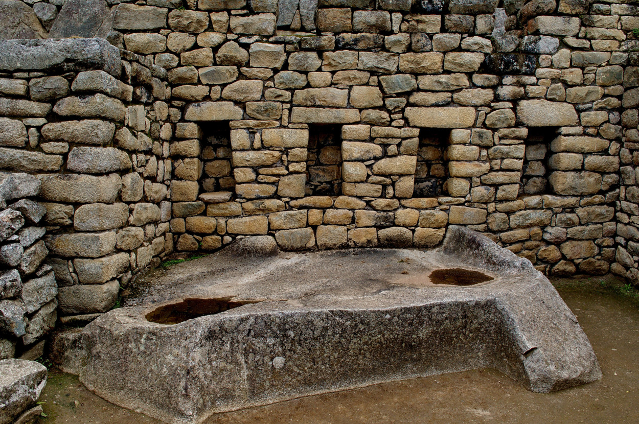
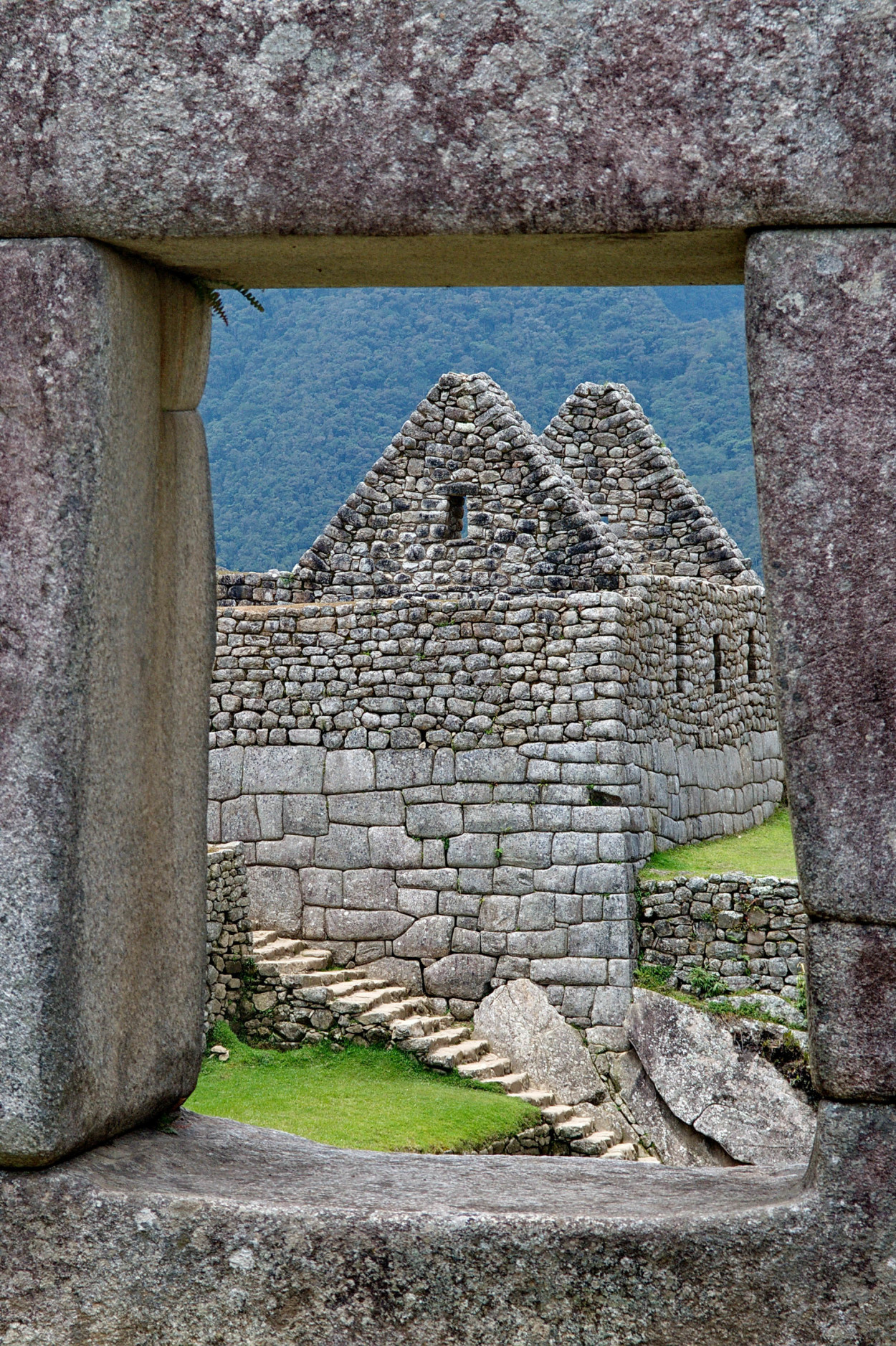
They include, mainly, temples, residences, warehouses and other facilities for public use. Most of them are build up of neatly hewn stones, of plates tightly drawn to each other.
More than four hundred years Machu Picchu was abandoned and lay in ruins until it was found by the American Explorer, Hiram Bingham, on July 24, 1911. Thanks to his discovery, we can now enjoy the mysterious beauty of Machu Picchu …
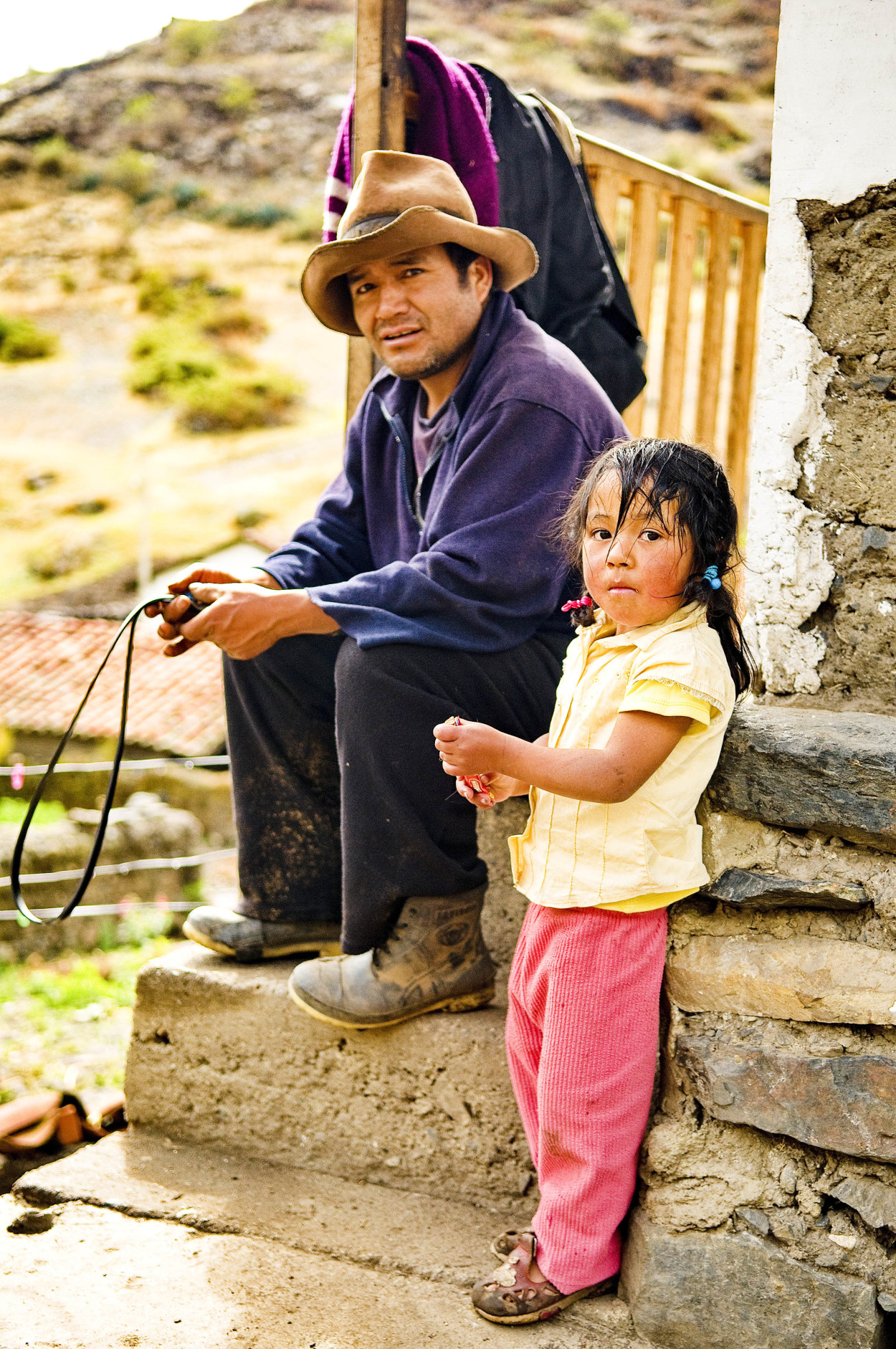
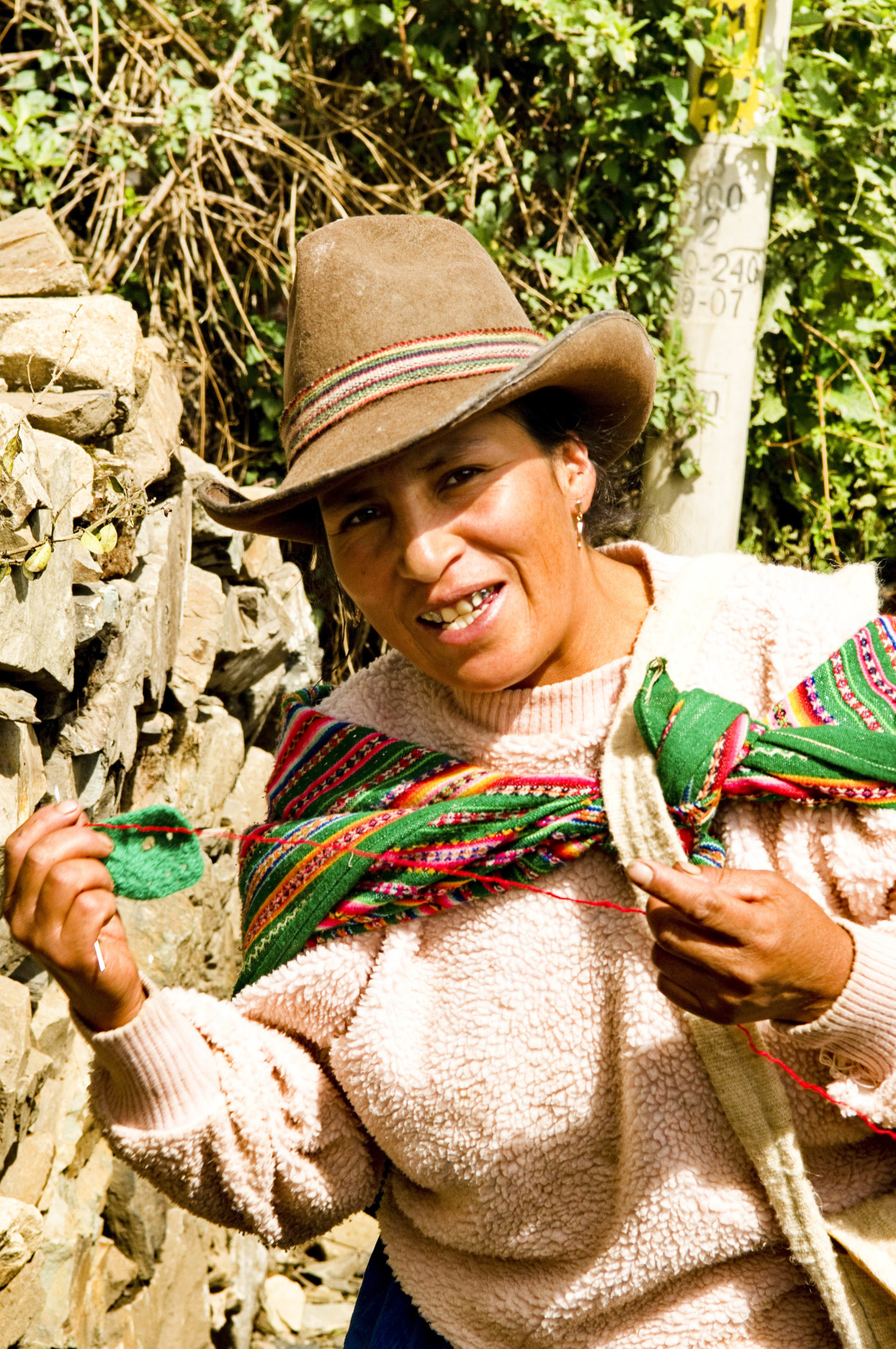
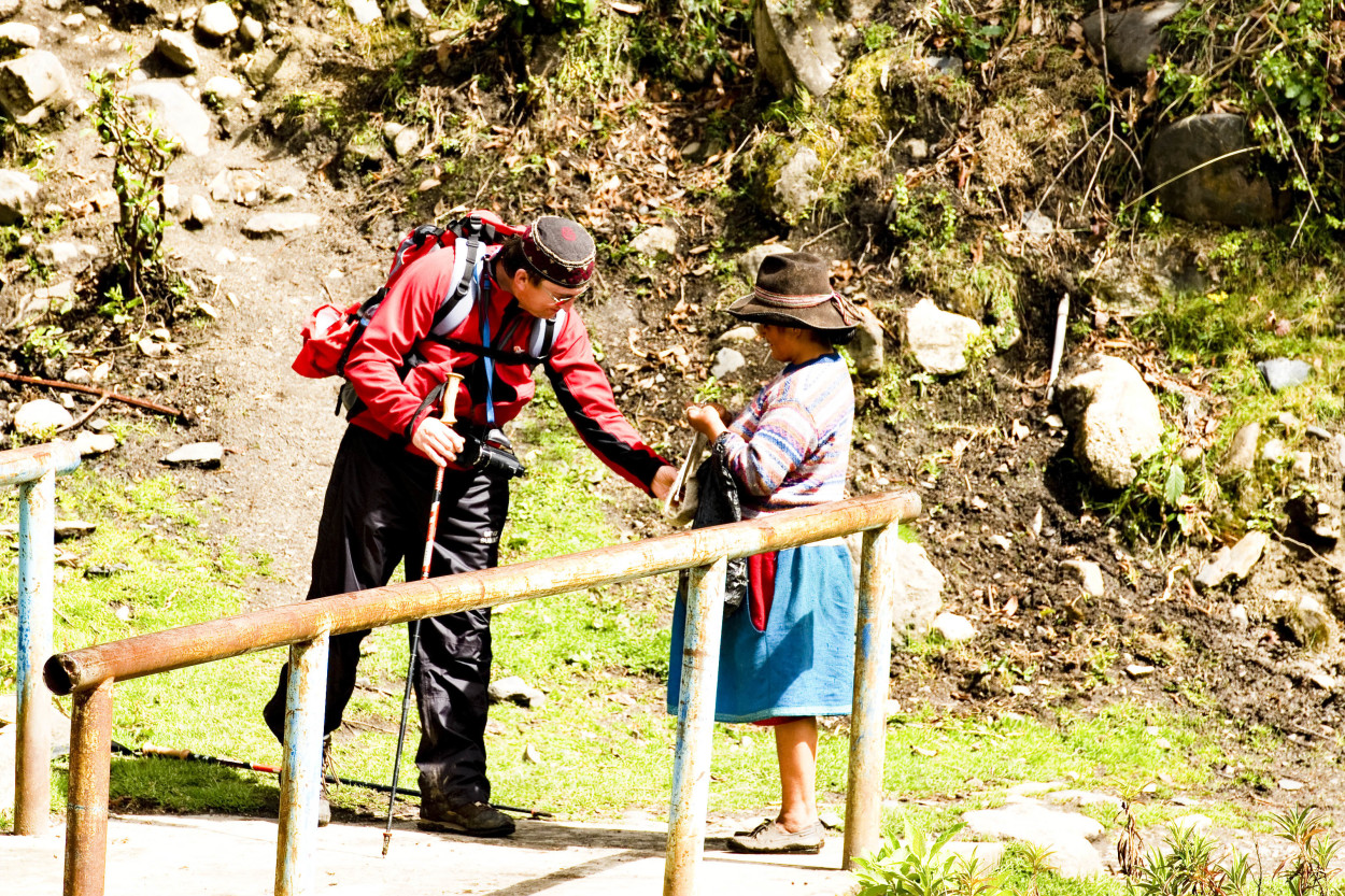
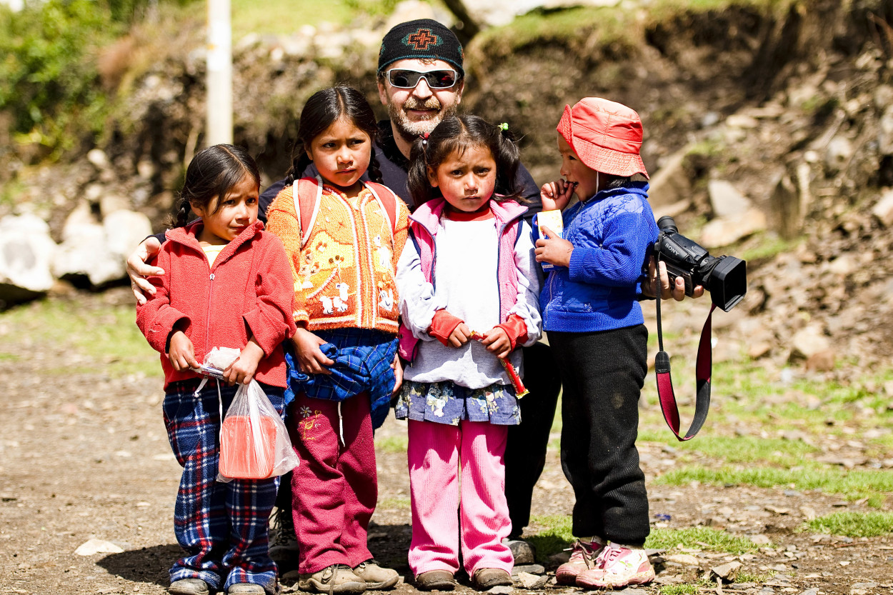
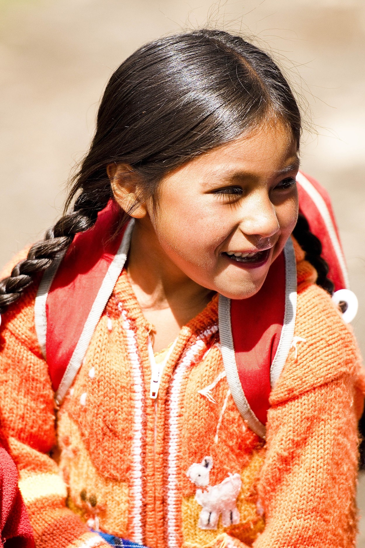
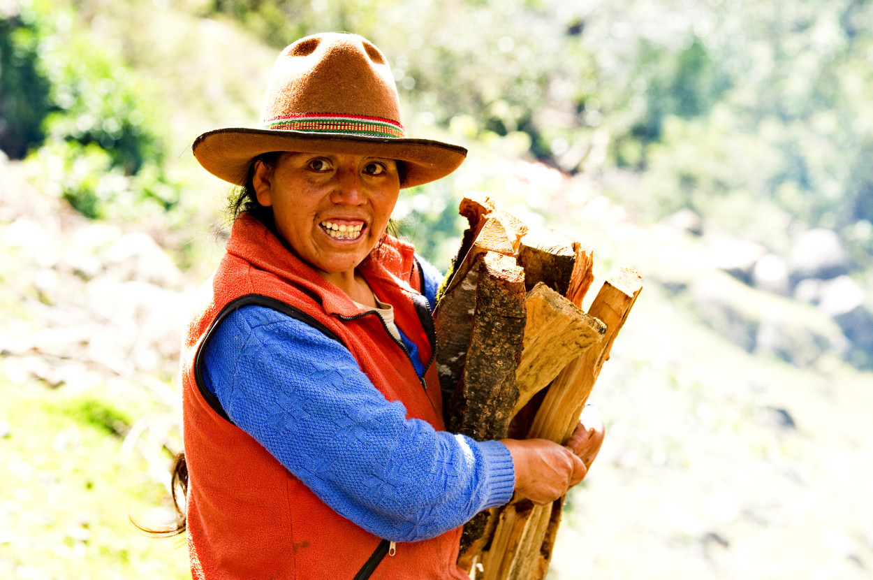
Our journey has come to an end. It is a little sad to leave the ancient land of Inca, the beautiful nature and wonderful people living now in this country. In conclusion, we would like to thank the Moscow company«Palman-2000» and personally, Gennady Martens, for the help in the organisation of pur expedition and the high professionalism of all the people who accompanied us all along our jouirney in the Inca country…


Comments
The post has no comments at the moment.
Leave Comment